Overview Cottonwood Recreation Area is located just downstream of Gavins Point Dam and Lewis & Clark Lake along the western shore of Lake Yankton. The numerous outdoor recreational opportunities attract more than 2 million visitors annually to the Lewis & Clark Lake area, making it one of the most popular recreation de…
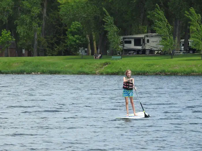
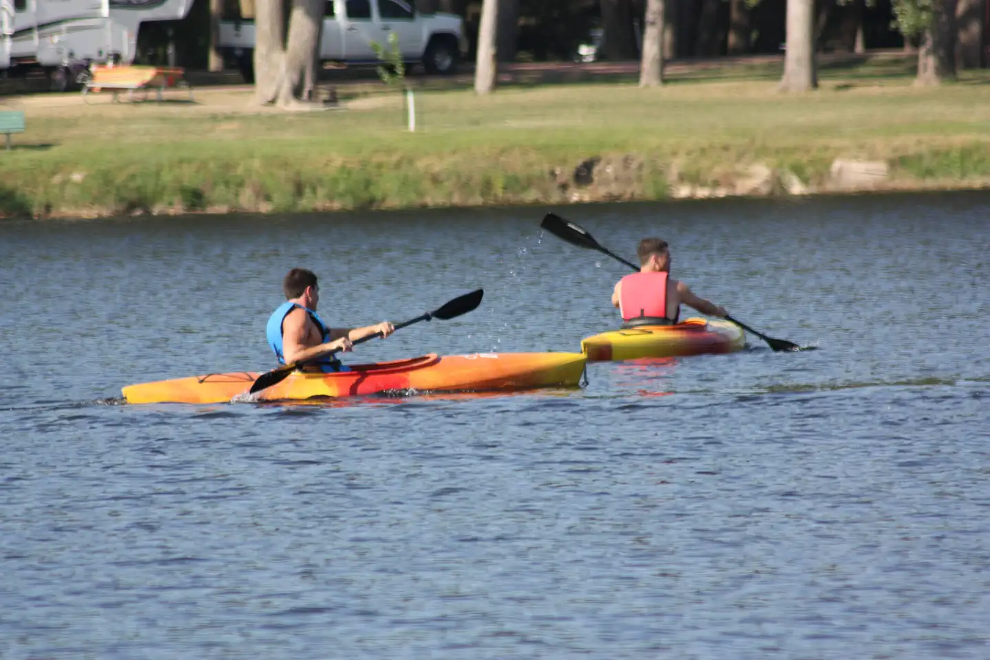
Overview Cottonwood Recreation Area is located just downstream of Gavins Point Dam and Lewis & Clark Lake along the western shore of Lake Yankton. The numerous outdoor recreational opportunities attract more than 2 million visitors annually to the Lewis & Clark Lake area, making it one of the most popular recreation destinations in the Upper Great Plains. Lewis & Clark Lake is 31,400-acres in size with more than 90 miles of shoreline is impounded by Gavins Point Dam, which was authorized by the Flood Control Act of 1944, commonly called the Pick-Sloan Plan. For more information about Lewis and Clark Lake, please visit the Gavins Point Project website . Recreation Cottonwood Recreation Area is conveniently located between Lewis and Clark Lake and Lake Yankton. Lewis and Clark Lake is known for great boating, sailing, swimming and other water-based recreation activities. Lake Yankton is popular with families as a popular fishing spot along with the excellent kayaking, canoeing and paddling opportunities. Numerous paved, multi-use trails connect the area with the additional numerous recreation areas located along Lewis and Clark Lake, Lake Yankton and the Missouri River. Lewis and Clark Lake attracts more than 2 million visitors each year to its shores. Recreation opportunities around the lake include camping, fishing, hunting, hiking, boating, sailing, swimming, bird-watching, and photography. For the biking and hiking enthusiasts, three trails are available in the area. They include a paved trail that runs from Yankton to the Gavins Point area, a multi-use trail in the Gavins Point area and the Calumet Bluff hiking trail located near the visitor center. Wintertime activities include ice fishing, cross-country skiing, snowmobiling and sledding. Developed public parks and recreation areas surround the lake above and below Gavins Point Dam. Camping facilities provided by the Corps and the States of South Dakota and Nebraska include marinas, boat ramps, trails, campsites
Photos
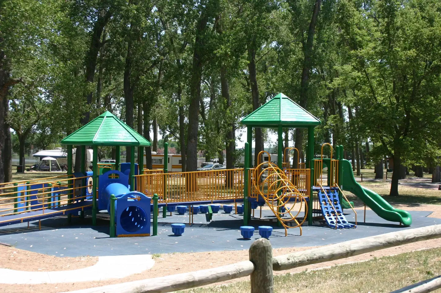
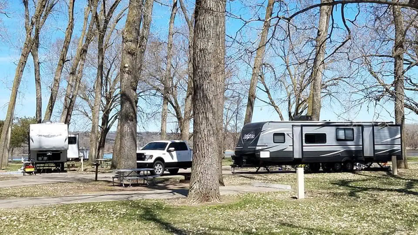
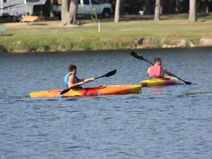
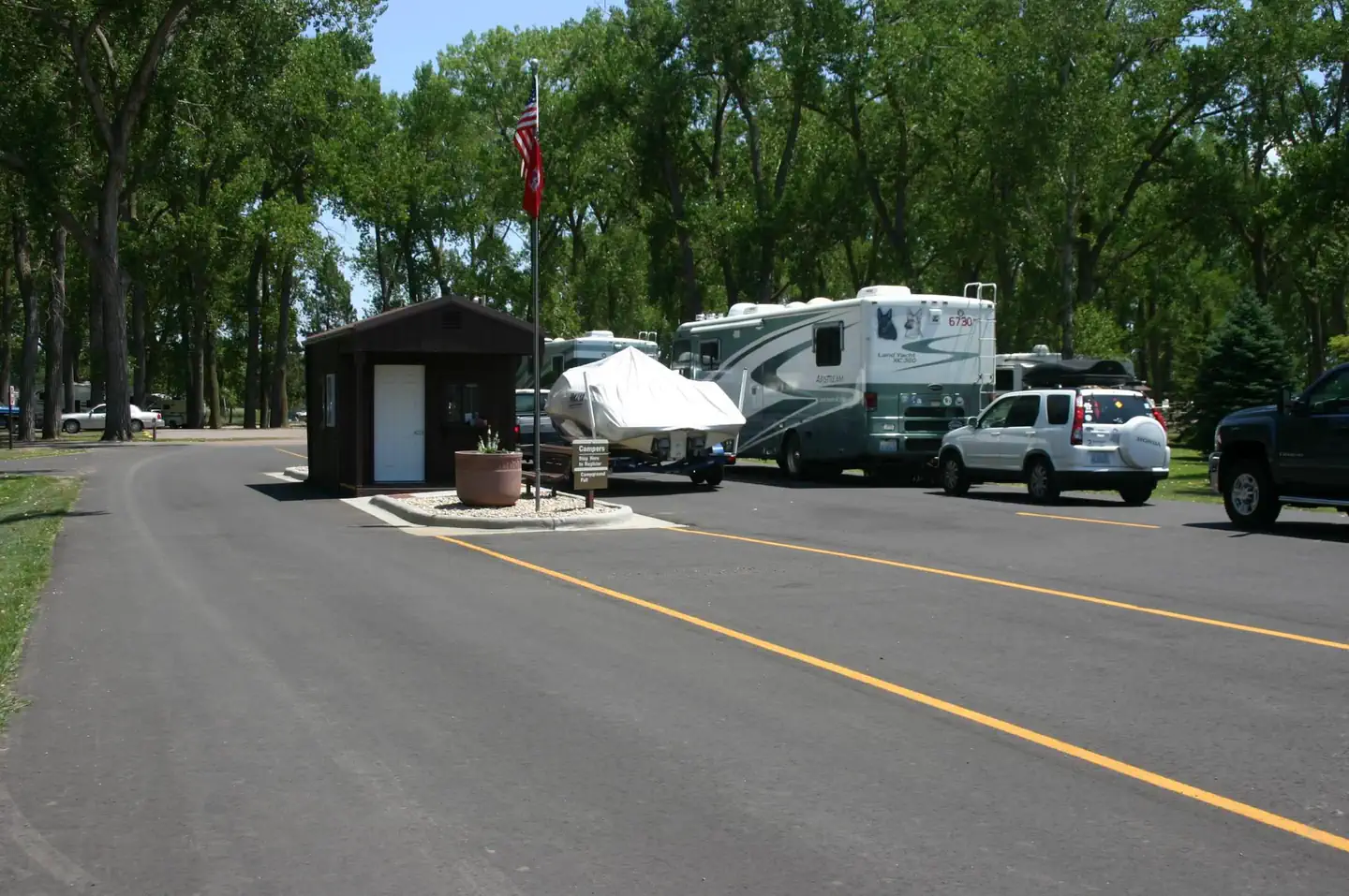
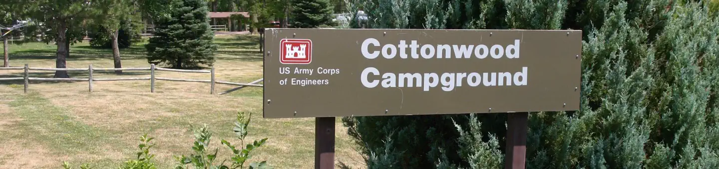
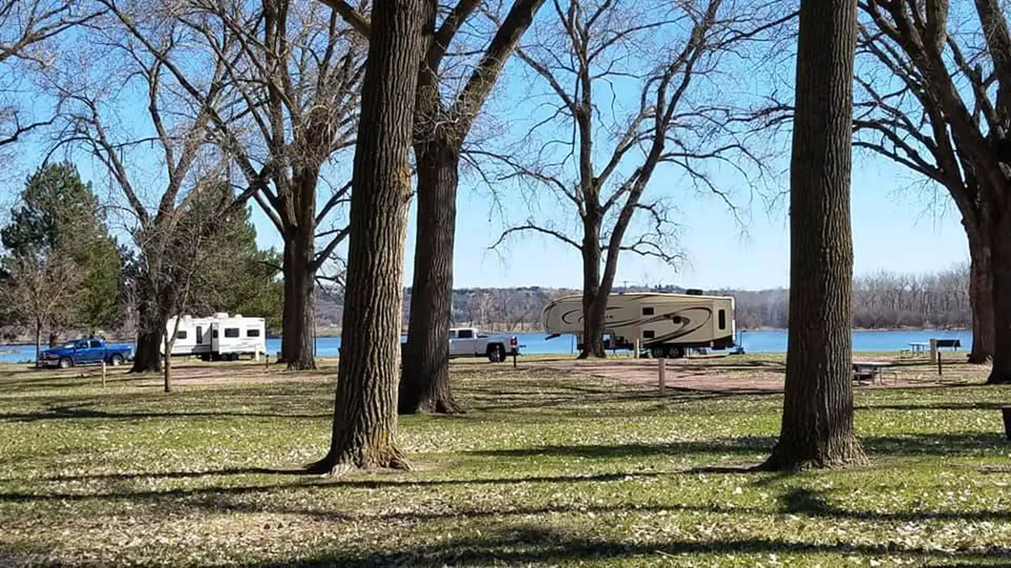
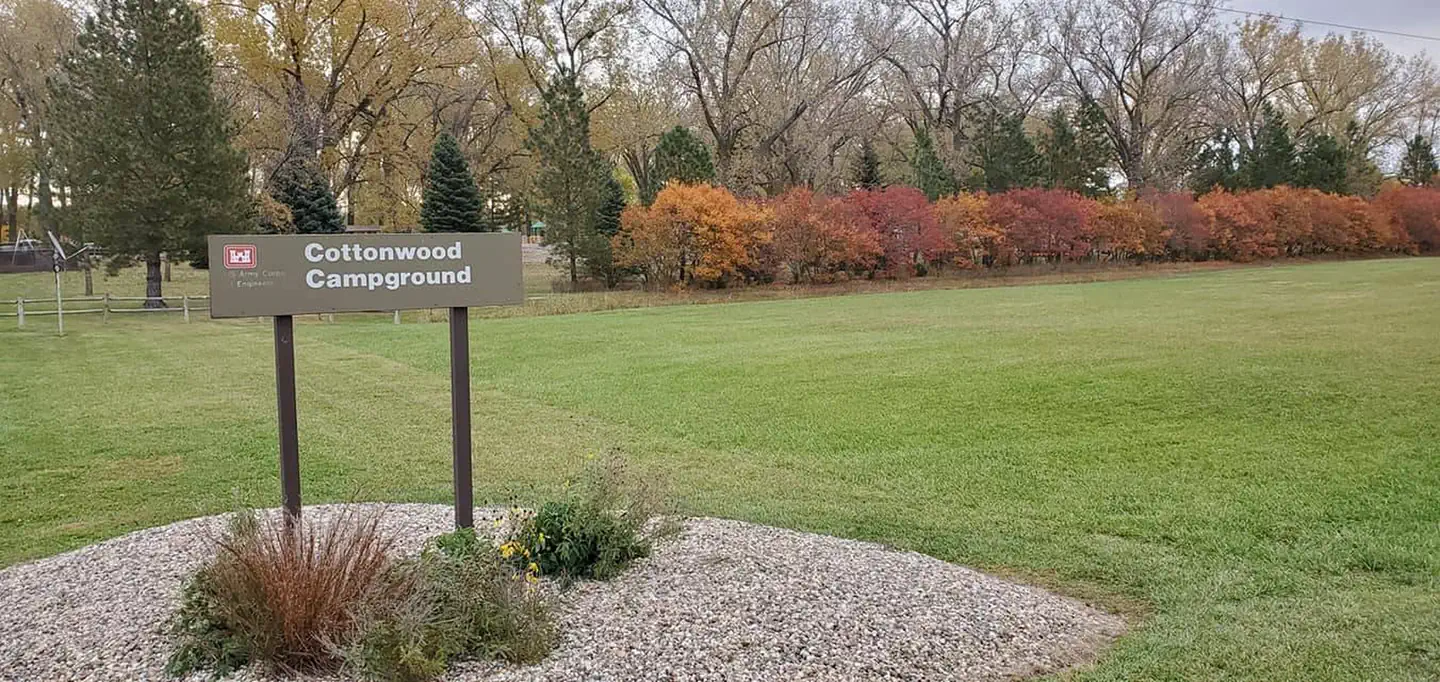
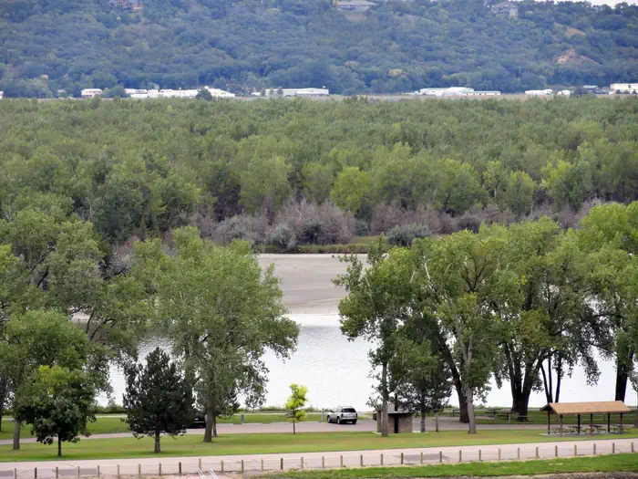
Playground at Cottonwood Campground — USACESunrise on Lake Yankton — U.S. Army Corps of Engineers StaffCottonwood Campground, sunny day — USACEKayaking near Cottonwood Campground — U.S. Army Corps of Engineers, Gavins Point ProjectEntrance Station — USACESunrise over Lake Yankton & Cottonwood Campground — U.S. Army Corps of Engineers StaffPaddling Lake Yankton — USACEKayaking Lake Yankton — USACECottonwood Campground, Gavins Point Project - Lewis and Clark Lake — U.S. Army Corps of Engineers StaffCottonwood Campground and Lake Yankton in background. — USACEFall colors at Cottonwood Campground — USACELake Yankton — U.S. Army Corps of Engineers Staff
How to Get There
From U.S. Hwy 81 in Yankton, South Dakota, drive four miles west on South Dakota Highway 52, then south on Dam Toe Road and follow signs.
Download your route in advance via Gaia, Caltopo, or OSM-based apps.
Recommendations adapt to the current forecast + trail stats. Use them as a starting point — local conditions, your experience, and the time of day you start all matter.
Plan Your Visit to COTTONWOOD (NE)
Heading to COTTONWOOD (NE)? A few things to know before you go:
Reservations: popular sites fill up fast — check Recreation.gov 6 months in advance
Fees: day-use and camping fees vary; check current rates on the official park page
Trash & pack-out: follow Leave No Trace principles
Wildlife: store food in bear boxes where provided; never feed wildlife
Weather: the 5-day forecast above is updated every 6 hours; verify just before you go
Frequently Asked Questions
Do I need a reservation for COTTONWOOD (NE)?
No central reservation system listed for COTTONWOOD (NE). Check the official page (https://www.recreation.gov/camping/campgrounds/233467) for the latest entry policy and availability.
How many campsites are at COTTONWOOD (NE)?
COTTONWOOD (NE) has 77 campsites. Site amenities (hookups, vehicle limits, ADA access) vary — see the individual campsite pages for details.
How do I get to COTTONWOOD (NE)?
From U.S. Hwy 81 in Yankton, South Dakota, drive four miles west on South Dakota Highway 52, then south on Dam Toe Road and follow signs.
How do I contact COTTONWOOD (NE)?
You can reach the park at phone: 402-667-2546. FOR RESERVATIONS, CALL 877-444-6777..