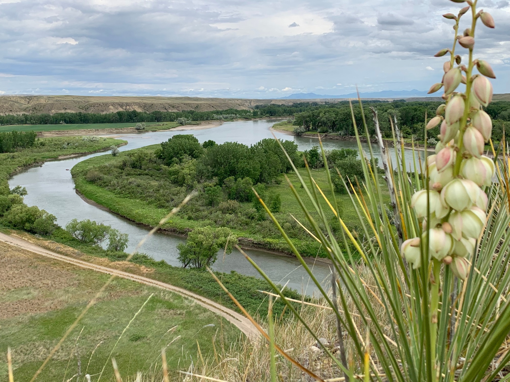
About Decision Point Overlook
Located near Loma in the Upper Missouri River Breaks National Monument, Decision Point Overlook offers a short walk to a ridge with sweeping views of the confluence of the Marias and Missouri rivers — one of the most consequential stops of the Lewis and Clark Expedition. Today, the ridge is known for abundant prickly pear cactus, which produce showy blooms in spring, as well as the sword‑like Great Plains yucca.Decision Point sits less than a mile southeast of U.S. Highway 87. From the parking area, a ¼‑mile trail climbs moderately to the ridge above the confluence. Interpretive panels at the parking lot and the overlook share stories of the town of Ophir, Fort Piegan, and the Corps of Discovery’s encampment at the site. Boaters can access the overlook by landing river left immediately after floating under the Loma Bridge, then hiking about a ½‑mile up the county road to the parking area.History highlight: On June 2, 1805, the Lewis and Clark Corps of Discovery arrived at this overlook and spent several days determining which river to follow west. While most of the crew believed the right fork — the Marias — was the true Missouri, further exploration led the captains to conclude that the south fork — the Missouri — was the correct route. Lewis subsequently named the north fork Maria’s River after his cousin, Maria Wood; over time, the apostrophe was dropped and the river became known as the Marias.Their choice proved correct. After a 10‑day encampment at Decision Point, the Expedition continued up the Missouri toward the Great Falls, and beyond to the Pacific and an enduring place in the story of American history.Hours and SeasonsOpen year‑round. Features and ServicesAccess and Parking: The parking lot is gravel/dirt. It is large enough to accommodate oversized vehicles.Cell Service: Coverage across the Monument can be limited, with little to no reliable cell service in many areas—plan accordingly. Toilets: None available at the parking area or overlook.Drinking Wat


