Overview The Spillway Recreation Area's iconic outllet structure has delighted visitors to Wappapello Lake since 1937. Feeding the St. Francis River, the spillway banks are a favorite location for fisherman. A one lane boat ramp provides river access, the lower boat ramp area is also an ideal location for kayakers with…
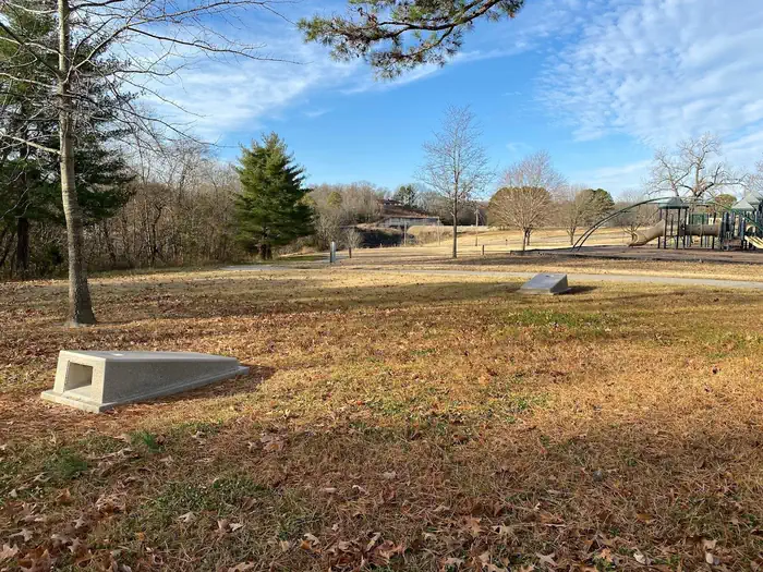
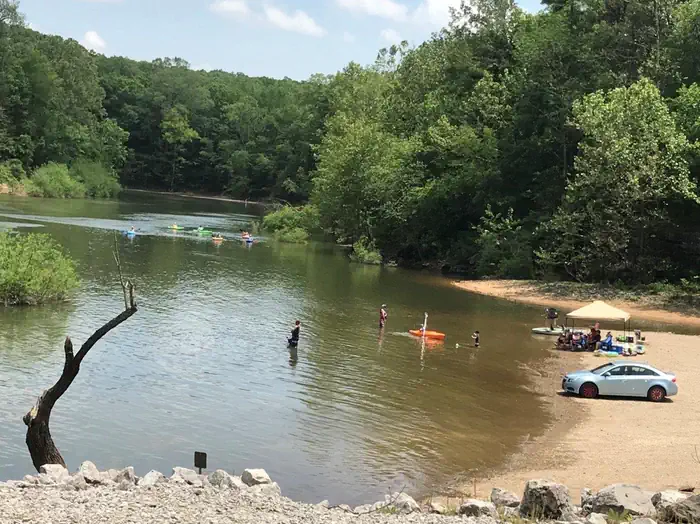
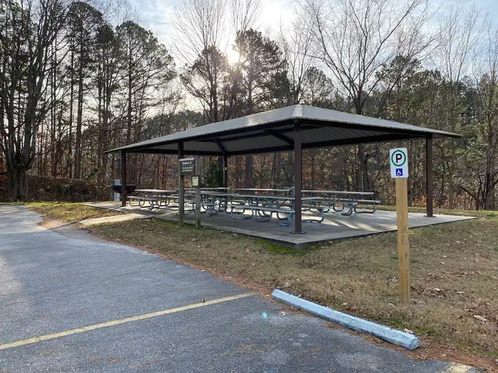
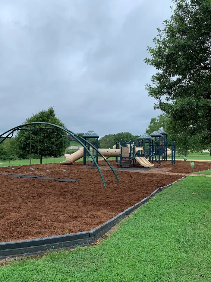
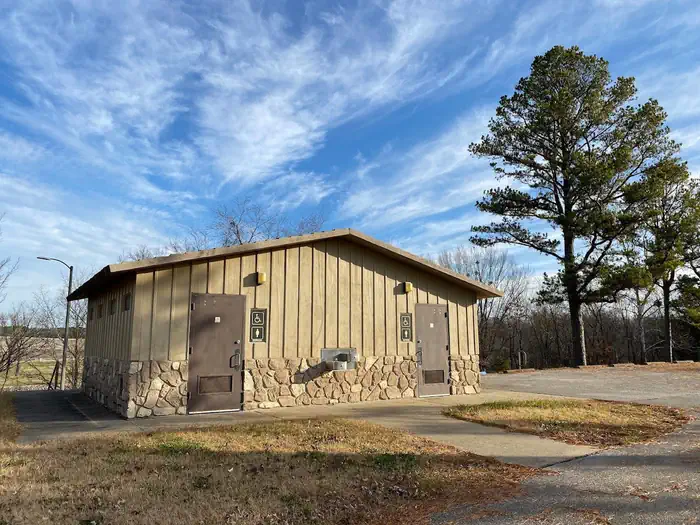
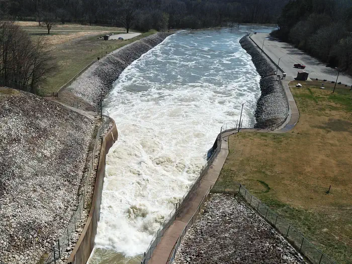
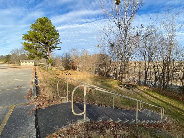
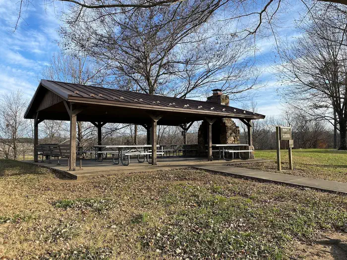
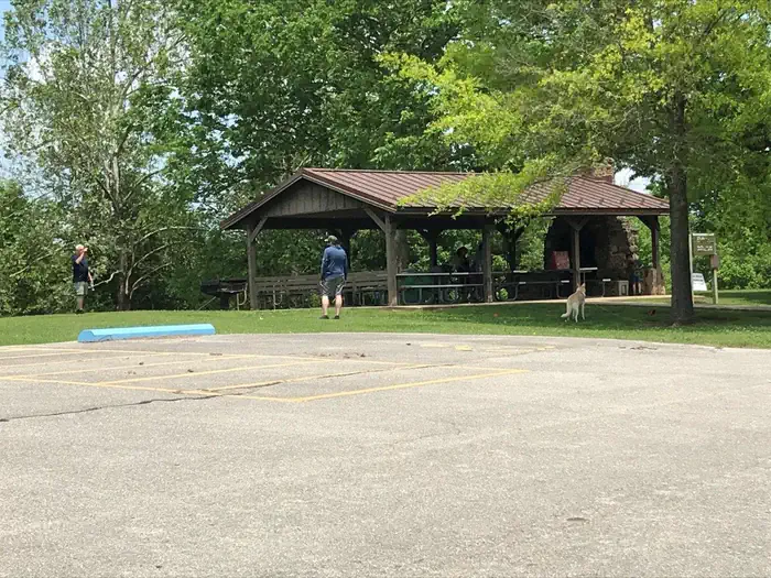
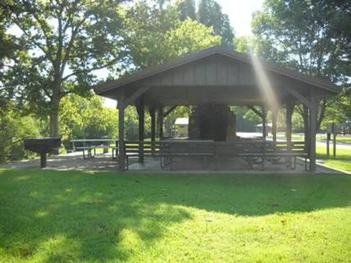
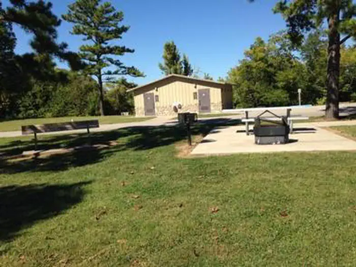
Overview The Spillway Recreation Area's iconic outllet structure has delighted visitors to Wappapello Lake since 1937. Feeding the St. Francis River, the spillway banks are a favorite location for fisherman. A one lane boat ramp provides river access, the lower boat ramp area is also an ideal location for kayakers with easy bank access for launching. 11 picnic areas and 2 accessible picnic shelters are available for use year round. Each shelter has a large capacity grill, electricity, water fountains and water hydrants available, Shelter 4 has a large wood burning fireplace in the covered area. A 6 stall, accessible restroom is centrally located within the recreation area. A sand volleyball court, large playground, horseshoe pits, cornhole boards and a Lake View Trailhead offer recreational opportunities for all ages and interests. Click here to take a virtual tour of the facilities at Wappapello Lake! Recreation Boating and fishing are the most popular activities with largemouth bass, crappie, bluegill, white bass and channel catfish, among other species. Pine Ridge Natural Trail, a 3/4-mile double loop, starts at the Spillway Recreation Area and provides an excellent way to explore the beautiful woodlands.Facilities This day use area includes two large picnic shelters, 8 picnic sites, a volleyball court, playground, horseshoe pits and bank fishing.Natural Features Wappapello Lake has a seemingly endless string of secluded coves hugged by a winding, wooded shoreline. The public recreation area spans 45,000 acres in the southeastern Ozark foothills. Contact Info This location is unstaffed. To speak with our main office for general information, please call: (573) 222-7500. Nearby Attractions The extensive 33-mile Ozark Trail, starts just south of Sam A. Baker State Park and winds along the west side of the St. Francis River and Wappapello Lake.
Photos
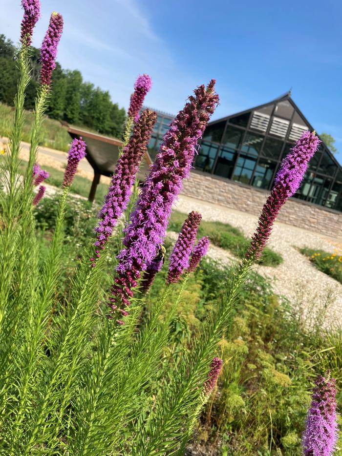
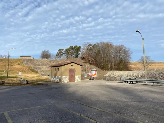
St. Francis Boat Ramp & River Access — USACEShelter 6 at Spillway Recreation Area — USACEWappapello Lake Greenhouse — USACESpillway Playground — USACERestroom Facilities at Spillway Recreation — USACERestroom Facilities at Spillway — USACESpillway Recreation Area — Robert Dockery Picnic Areas at Spillway Recreation — USACEShelter 4 at Spillway Recreation — USACEShelter 4 — USACESPILLWAY RECREATION AREASPILLWAY RECREATION AREA
How to Get There
From St. Louis, Missouri: Take I-55 South to US Highway 67 South to State Highway D (located just South of Greenville, Missouri). Take State Highway D south for 20 miles to State Highway T. Cross Wappapello Dam and take the first left onto a paved road and watch for signs. From Poplar Bluff, Missouri: Take US Highway 60 East to State Highway T North. Go North on State Highway T for 22 miles and watch for signs.
Download your route in advance via Gaia, Caltopo, or OSM-based apps.
🛍
Dry bags for electronics
Phone, camera, and snacks should stay dry.
Recommendations adapt to the current forecast + trail stats. Use them as a starting point — local conditions, your experience, and the time of day you start all matter.
Plan Your Visit to SPILLWAY RECREATION AREA
Heading to SPILLWAY RECREATION AREA? A few things to know before you go:
Reservations: popular sites fill up fast — check Recreation.gov 6 months in advance
Fees: day-use and camping fees vary; check current rates on the official park page
Trash & pack-out: follow Leave No Trace principles
Wildlife: store food in bear boxes where provided; never feed wildlife
Weather: the 5-day forecast above is updated every 6 hours; verify just before you go
Frequently Asked Questions
Do I need a reservation for SPILLWAY RECREATION AREA?
No central reservation system listed for SPILLWAY RECREATION AREA. Check the official page (https://www.recreation.gov/camping/campgrounds/233691) for the latest entry policy and availability.
How many campsites are at SPILLWAY RECREATION AREA?
SPILLWAY RECREATION AREA has 2 campsites. Site amenities (hookups, vehicle limits, ADA access) vary — see the individual campsite pages for details.
How do I get to SPILLWAY RECREATION AREA?
From St. Louis, Missouri: Take I-55 South to US Highway 67 South to State Highway D (located just South of Greenville, Missouri). Take State Highway D south for 20 miles to State Highway T. Cross Wappapello Dam and take the first left onto a paved road and watch for signs. From Poplar Bluff, Missouri: Take US Highway 60 East to State Highway T North. Go North on State Highway T for 22 miles and wa…
How do I contact SPILLWAY RECREATION AREA?
You can reach the park at phone: 573-222-8562 or email: [email protected].