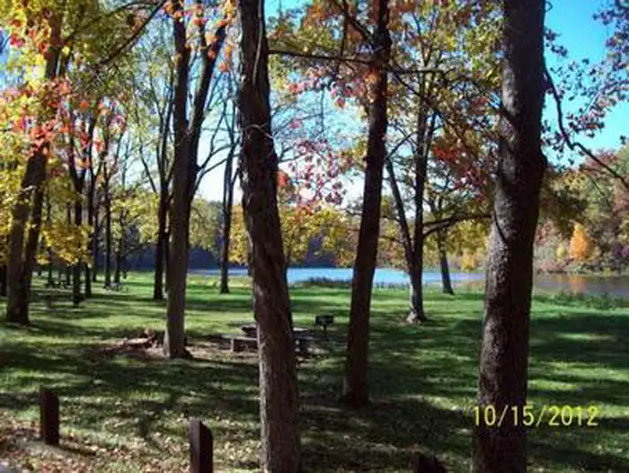
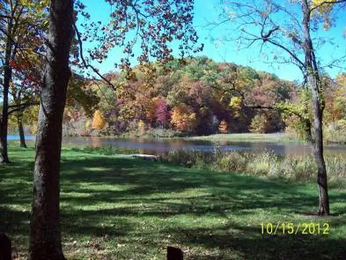
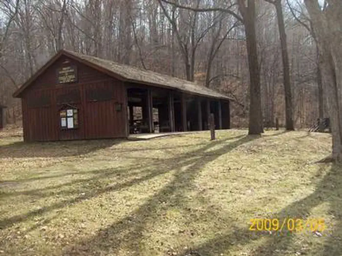
Overview Noblett Lake Picnic Pavilion provides a sheltered place among forests, streams and wildlife, for groups to picnic near Noblett Lake. It is a great location for birding, canoeing and boating.Recreation Noblett Lake is a popular location for boating, canoeing and fishing. Only electric trolling motors or non-mot…
Overview Noblett Lake Picnic Pavilion provides a sheltered place among forests, streams and wildlife, for groups to picnic near Noblett Lake. It is a great location for birding, canoeing and boating.Recreation Noblett Lake is a popular location for boating, canoeing and fishing. Only electric trolling motors or non-motorized boats are allowed on the lake. Visitors enjoy the day-use picnic area and the Ridge Runner Trail, a 22-mile remote path that loops hikers through the scenic Ozark Mountains.Facilities The pavilion offers seating for up to 75 people. If over 75 people, a special use permit is required; please contact Tray Hall at 417-967-4194. It is equipped with electricity, tables and grills. There is a vault toilet. Trash collection services are provided. There is no water available; visitors must bring their own. There is no overnight camping allowed in the day use area. Dispersed camping (no amenities provided) is allowed in area across from Noblett Trailhead (old Oak Hill camping area) and below dam (old Sycamore Loop camping area). A parking area for the pavilion and the adjacent trail is available. Natural Features The pavilion is set in a forest of oak and pine trees, on the Salem Plateau. It is near Noblett Lake and south of the town of Willow Springs. Nearby Attractions West Plains, Willow Springs, Cabool and Mountain Grove are the closest towns.
Photos
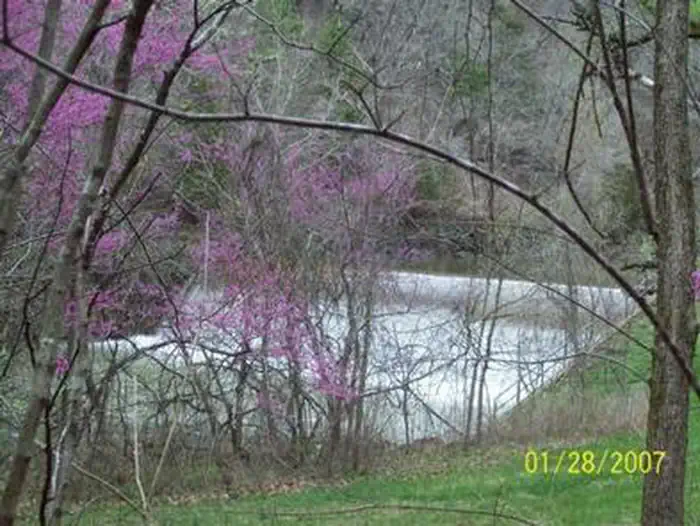
NOBLETT LAKE — Mark Twain National ForestNOBLETT LAKE — Mark Twain National ForestNOBLETT LAKE — Mark Twain National Forest
How to Get There
From Willow Springs, at the junction of Highways 60/63 and 76, take Highway 76 west for about 7 miles. Turn south on Highway 181 for a little over a mile and turn left on Highway Ap for about 3 miles. Turn right on Forest Road 857 and continue about 1 mile to turnoff for the day-use area. The road continues to the Noblett Dam and Trailhead.
Download your route in advance via Gaia, Caltopo, or OSM-based apps.
Recommendations adapt to the current forecast + trail stats. Use them as a starting point — local conditions, your experience, and the time of day you start all matter.
Plan Your Visit to NOBLETT LAKE
Heading to NOBLETT LAKE? A few things to know before you go:
Reservations: popular sites fill up fast — check Recreation.gov 6 months in advance
Fees: day-use and camping fees vary; check current rates on the official park page
Trash & pack-out: follow Leave No Trace principles
Wildlife: store food in bear boxes where provided; never feed wildlife
Weather: the 5-day forecast above is updated every 6 hours; verify just before you go
Frequently Asked Questions
Do I need a reservation for NOBLETT LAKE?
No central reservation system listed for NOBLETT LAKE. Check the official page (https://www.recreation.gov/camping/campgrounds/233935) for the latest entry policy and availability.
How do I get to NOBLETT LAKE?
From Willow Springs, at the junction of Highways 60/63 and 76, take Highway 76 west for about 7 miles. Turn south on Highway 181 for a little over a mile and turn left on Highway Ap for about 3 miles. Turn right on Forest Road 857 and continue about 1 mile to turnoff for the day-use area. The road continues to the Noblett Dam and Trailhead.