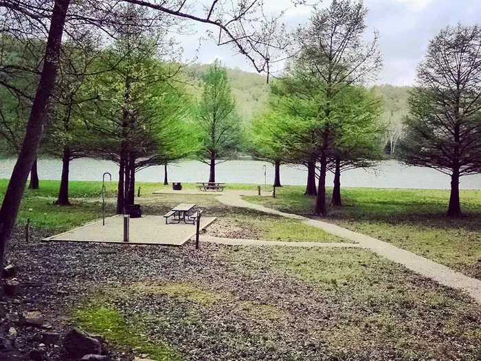
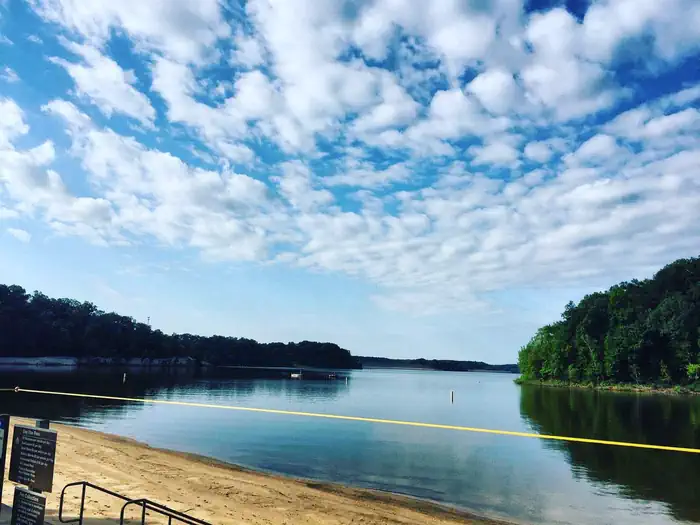
Overview People's Creek Recreation Area, located in the southeastern Ozark foothills of Missouri, is a great launchpad for boating, fishing, swimming, hiking or simply exploring the Wappapello Lake area.Completed in 1941, Wappapello Lake provides an estimated $3.9 million in annual flood protection to agricultural land…
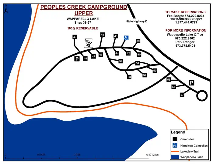
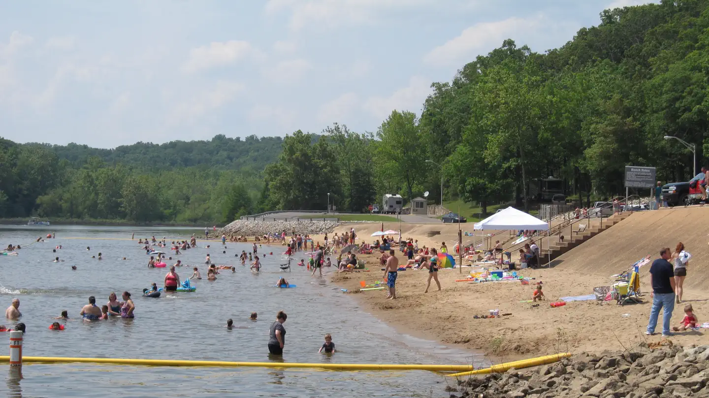
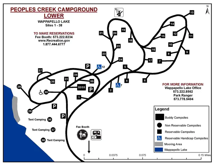
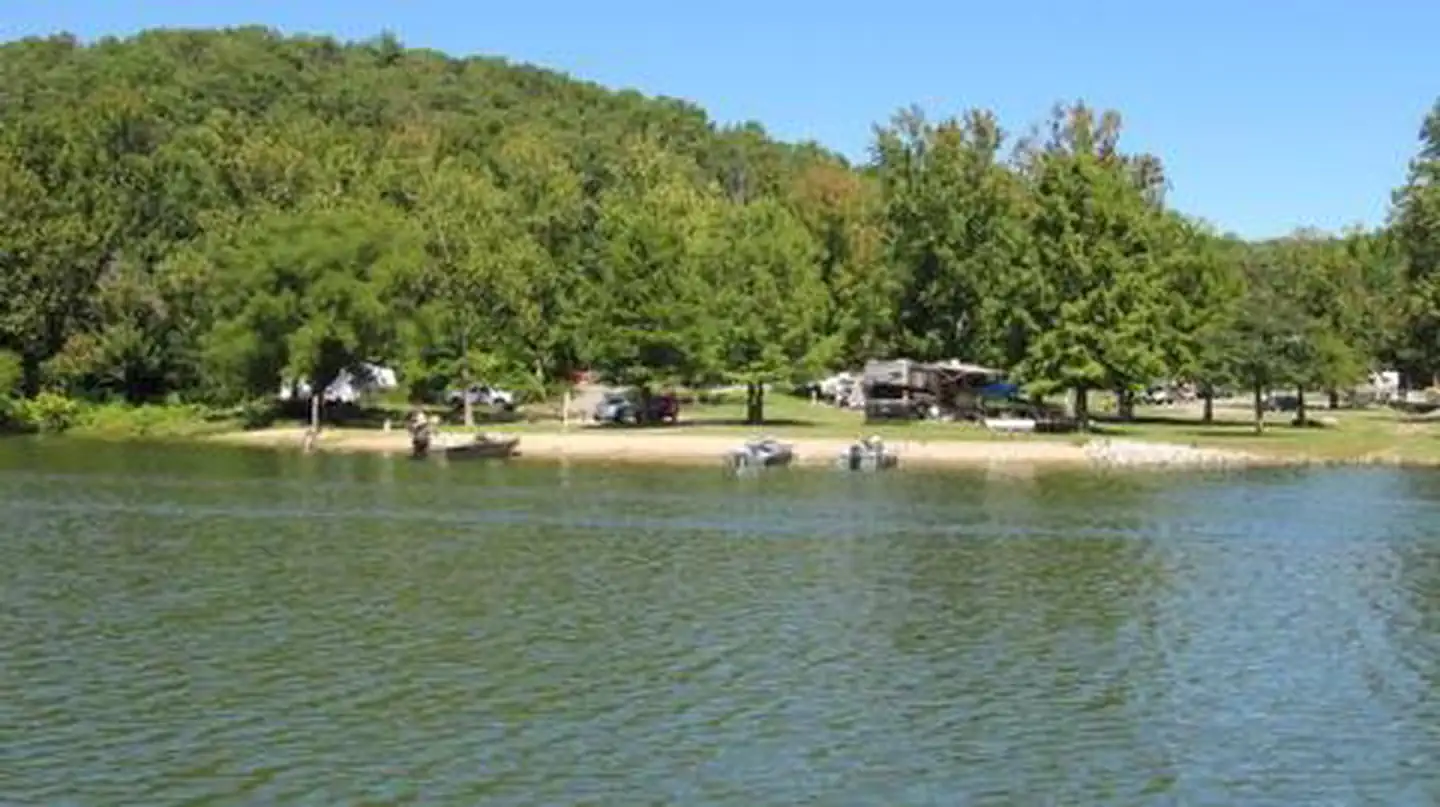
Overview People's Creek Recreation Area, located in the southeastern Ozark foothills of Missouri, is a great launchpad for boating, fishing, swimming, hiking or simply exploring the Wappapello Lake area.Completed in 1941, Wappapello Lake provides an estimated $3.9 million in annual flood protection to agricultural lands and developed areas along the St. Francis River. A peaceful cove offers endless recreation opportunities with 57 campsites, a picnic shelter, beach, accessible fishing pier, and Lake View Trail. Click here to take a virtual tour of the facilities at Wappapello Lake. Recreation People's Creek is ideally suited for swimming and boating activities. The lake is home to some of Missouri's most sought after game fish, including largemouth bass, crappie, bluegill, white bass and channel catfish. Hunting, fishing and kayaking are popular activities year-round. Hiking and biking on one of the Lake's 9 trail systems provides opportunities for all ages and abilities. The new accessible Shell Lake Archery Trail is a unique destination for achery enthusiasts. Facilities The day-use portion of People's Creek includes a two-lane boat ramp with courtesy dock, an accessible fishing pier, swimming beach and large picnic shelter. The campground portion has an upper and lower campground. The lower area offers 38 sites with 50-amp electric and water hookups. Peoples Creek Lower section is the only campground at Wappapepello Lake with waterfront campsites. A large sandy mooring area is available for campers. The upper area has 19 full-service campsites with 50-amp electric, water and sewer hookups. Natural Features Wappapello Lake stretches 8,400 acres on 45,000 acres of public land. Lightly wooded shorelines add shade to the scenic landscape. Nearby Attractions Explore the nearby Pine Ridge Nature trail, Shell Lake Archery Trail and Wappapllo Wildflower Trail and Greenhouse areas or St. Francis River. The Mingo Wildlife Refuge is approximately 11.5 miles from Peoples Cre
Photos
Peoples Creek Beach Holiday Weekend — USACE Peoples Creek Lower Campground — USACE Peoples Creek Campground — USACEPeoples Creek Boat Ramp — USACEPEOPLES CREEK — USACEPeoples Creek Fishing Pier — USACE - Facebook Walk-in Tent sites — USACE-FacebookPeoples Creek Beach — USACE - FacebookPeoples Creek Boat Ramp Courtesy Dock — USACE
How to Get There
From St. Louis: take I-55 South to Highway 67. Head south to D Highway. Take D Highway South for about 15 miles and look for signs. From Poplar Bluff: Take Hwy 60 East to Highway T. Then take Highway T North and look for signs.
Download your route in advance via Gaia, Caltopo, or OSM-based apps.
🛍
Dry bags for electronics
Phone, camera, and snacks should stay dry.
Recommendations adapt to the current forecast + trail stats. Use them as a starting point — local conditions, your experience, and the time of day you start all matter.
Plan Your Visit to PEOPLES CREEK
Heading to PEOPLES CREEK? A few things to know before you go:
Reservations: popular sites fill up fast — check Recreation.gov 6 months in advance
Fees: day-use and camping fees vary; check current rates on the official park page
Trash & pack-out: follow Leave No Trace principles
Wildlife: store food in bear boxes where provided; never feed wildlife
Weather: the 5-day forecast above is updated every 6 hours; verify just before you go
Frequently Asked Questions
Do I need a reservation for PEOPLES CREEK?
No central reservation system listed for PEOPLES CREEK. Check the official page (https://www.recreation.gov/camping/campgrounds/233689) for the latest entry policy and availability.
How do I get to PEOPLES CREEK?
From St. Louis: take I-55 South to Highway 67. Head south to D Highway. Take D Highway South for about 15 miles and look for signs. From Poplar Bluff: Take Hwy 60 East to Highway T. Then take Highway T North and look for signs.
How do I contact PEOPLES CREEK?
You can reach the park at phone: 573-222-8234 or email: [email protected].