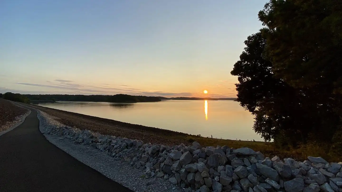
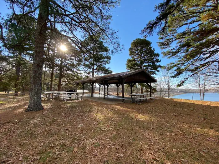
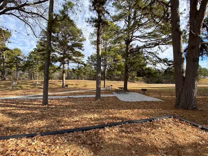
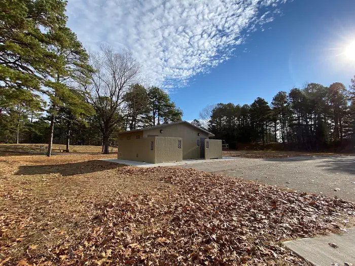
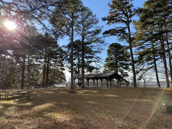
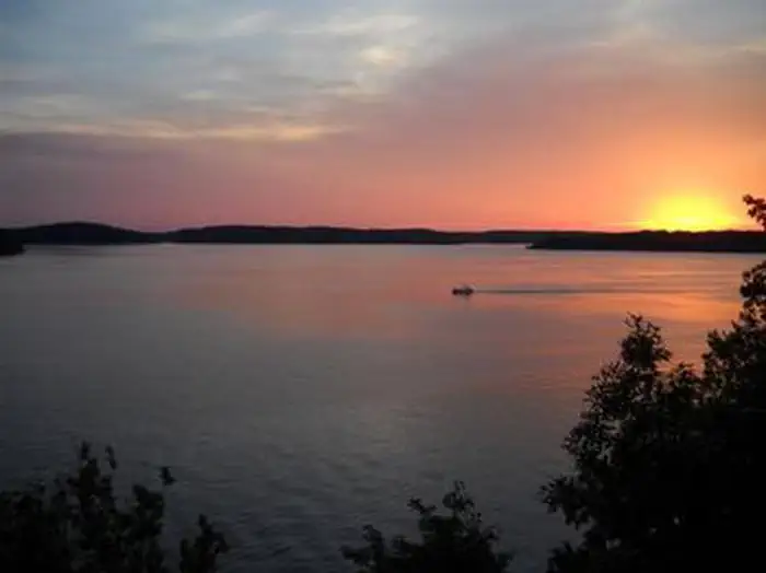
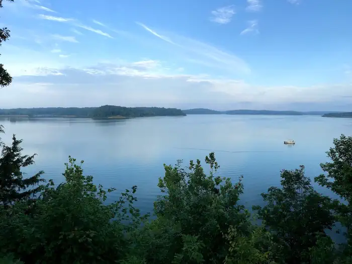
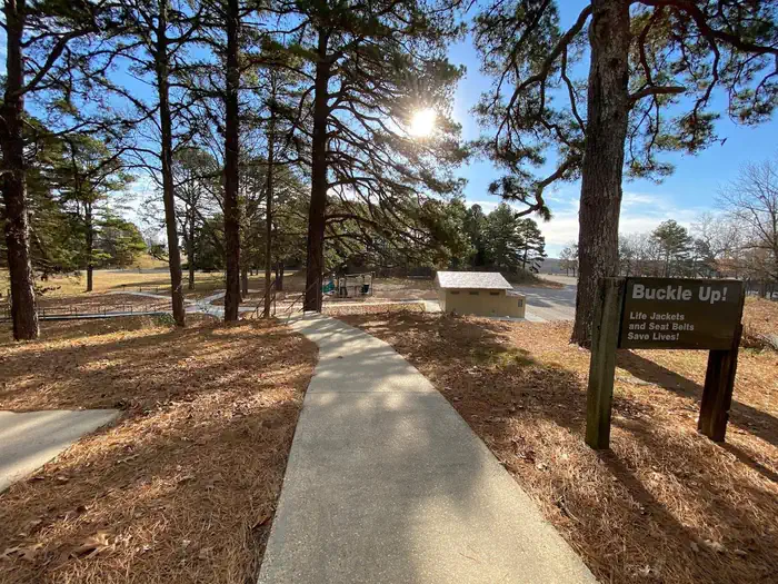
Overview Eagle Point day-use area provides a beautiful and grassy setting near the dam on Wappapello Lake. The park offers an accessible picnic shelter accommodating up to 80 guests, making it an ideal location for a large gathering of friends and family. Click here to take a virtual tour of the facilities at Wappapell…
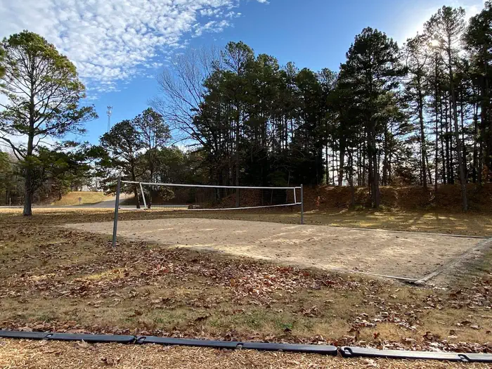
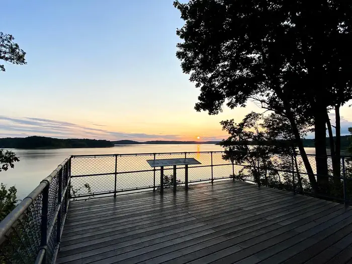
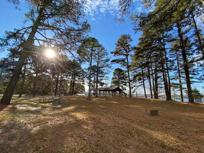
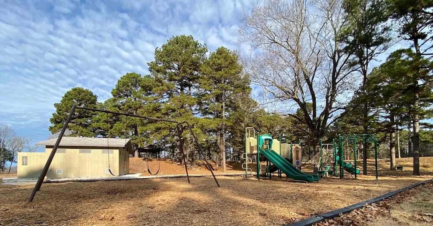
Overview Eagle Point day-use area provides a beautiful and grassy setting near the dam on Wappapello Lake. The park offers an accessible picnic shelter accommodating up to 80 guests, making it an ideal location for a large gathering of friends and family. Click here to take a virtual tour of the facilities at Wappapello Lake.Recreation Wappapello Lake can be a boater's paradise with a string of secluded coves, islands and wooded shorelines. Hunting, fishing and kayaking are popular activities year-round. Hiking and biking on one of the Lake's 9 trail systems provides opportunities for all ages and abilities. The Shell Lake Archery Trail is a unique destination for achery enthusiasts. Facilities The accessible picnic shelter fits 80 guests. The area includes a scenic overlook, volleyball court and flush toilets. From the bluff, an extended platform overlooks the lake -- a popular location for small wedding ceremonies (permit required). The Lake View trail can be accessed here with options to go across the dam or visit Peoples Creek. The restroom and picnic areas were replaced in 2021 Natural Features Wappapello Lake is fed by the St. Francis River and boasts 8,400 surface-acres on a whopping 45,000-acre expanse of public land, in the foothills of the Ozark Mountains. Contact Info For facility specific information, please call (573) 222-7500. Nearby Attractions Explore the nearby Pine Ridge Nature trail, Shell Lake Archery Trail and Wappapllo Wildflower Trail and Greenhouse areas or St. Francis River. The Mingo Wildlife Refuge is approximately 10.8 miles from Eagle Point Recreation Area. The Lake Wappapello State Park is approximately 17 miles away, and the Sam A. Baker State park is 34 miles away from Eagle Point Recreation Area. The Bill Emerson Memorial Visitor Center--located near the gatehouse, south of the dam-- offers more information on the area as well as recreation.
Photos
Shelter at Eagle Point Recreation — USACEPicnic Areas at Eagle Point — USACERestroom Facilities at Eagle Point — USACEShelter 5 — USACEEAGLE POINT RECREATION AREAView at Eagle Point Recreation Area — USACEOverview of Recreation Area at Eagle Point — USACEVolleyball Court at Eagle Point — USACEEagle Point Overlook — USACEShelter at Eagle Point — USACEPlayground Area at Eagle Point — USACE
How to Get There
Eagle Point is not at the physical address listed above. It is on the north end of the Wappapello Dam. From St. Louis: Take I-55 south to Route 67, then go south on 67 to Highway D. Take Highway D south for 20 miles to the intersection of D and T. Look for signs. From Poplar Bluff: Take Route 60 east to Route T. Take Route T north for 22 miles and look for signs.
Download your route in advance via Gaia, Caltopo, or OSM-based apps.
🛍
Dry bags for electronics
Phone, camera, and snacks should stay dry.
Recommendations adapt to the current forecast + trail stats. Use them as a starting point — local conditions, your experience, and the time of day you start all matter.
Plan Your Visit to EAGLE POINT RECREATION AREA
Heading to EAGLE POINT RECREATION AREA? A few things to know before you go:
Reservations: popular sites fill up fast — check Recreation.gov 6 months in advance
Fees: day-use and camping fees vary; check current rates on the official park page
Trash & pack-out: follow Leave No Trace principles
Wildlife: store food in bear boxes where provided; never feed wildlife
Weather: the 5-day forecast above is updated every 6 hours; verify just before you go
Frequently Asked Questions
Do I need a reservation for EAGLE POINT RECREATION AREA?
No central reservation system listed for EAGLE POINT RECREATION AREA. Check the official page (https://www.recreation.gov/camping/campgrounds/233686) for the latest entry policy and availability.
How do I get to EAGLE POINT RECREATION AREA?
Eagle Point is not at the physical address listed above. It is on the north end of the Wappapello Dam. From St. Louis: Take I-55 south to Route 67, then go south on 67 to Highway D. Take Highway D south for 20 miles to the intersection of D and T. Look for signs. From Poplar Bluff: Take Route 60 east to Route T. Take Route T north for 22 miles and look for signs.