Overview Orleans Trail Campground is a shady campground located on Stockton Lake in the scenic Ozark Mountains of southwestern Missouri. The lake and surrounding landscape offer countless recreational opportunities along its nearly 300 miles of shoreline, providing visitors with many ways to explore one of the most sou…
Overview Orleans Trail Campground is a shady campground located on Stockton Lake in the scenic Ozark Mountains of southwestern Missouri. The lake and surrounding landscape offer countless recreational opportunities along its nearly 300 miles of shoreline, providing visitors with many ways to explore one of the most sought-after natural areas in the state.Recreation Boating is always a popular pastime at the lake. Sail boating is especially popular and the lake hosts several races each year. The facility provides a boat ramp for easy access to the water. The waters of Stockton Lake are home to several species of fish including small and largemouth bass, crappie, white bass, walleye, catfish and sunfish, making it an ideal area for anglers. Several trails wind around the lake shore and through the landscape. The Stockton Lake Equestrian Trail continues approximately 15 miles between Hawker Point and Orleans Trail Campgrounds.Facilities Orleans Trail Park offers 118 campsites, three shower houses, two dump stations, a boat ramp and a swimming beach. The campground is divided into north and south: non-electric sites, the showers and beach are in Orleans Trail North; and non-electric individual sites and the group camping area are in Orleans Trail South. An equestrian trailhead where horses can be kept is located in the south portion.Natural Features The land surrounding the lake contains hundreds of acres of native prairie grasses, rolling hills and thick forests that turn crimson in autumn. An abundance of wildlife lives both in and around the water, including wild turkey, great blue heron, deer and bald eagles. Visitors can learn about the lake's bald eagles by attending an annual eagle-watching event during the winter. Nearby Attractions The Orleans Trail Marina is located nearby with camping and full marina services available.
Photos
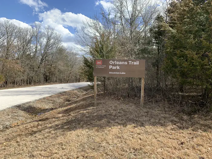
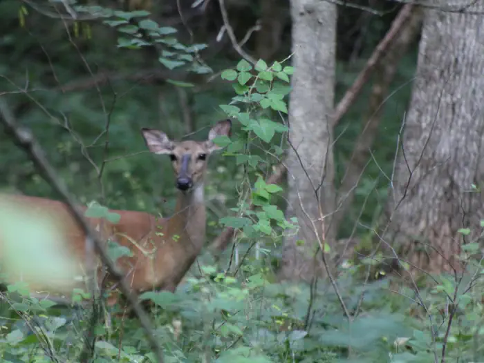
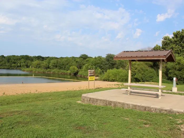
Orleans Trail Wildlife — G. HillOrleans Trail Park — G. HillOrleans Trail Beach — G. Hill
How to Get There
From Stockton, Missouri, take State Highway 39 south approximately 1/2-mile to R.B. Road. Take a left and drive approximately 1/2-mile. Turn right on Blake Street, continue about 1/2-mile, and follow signs to the park area.
Download your route in advance via Gaia, Caltopo, or OSM-based apps.
Recommendations adapt to the current forecast + trail stats. Use them as a starting point — local conditions, your experience, and the time of day you start all matter.
Plan Your Visit to ORLEANS TRAIL
Heading to ORLEANS TRAIL? A few things to know before you go:
Reservations: popular sites fill up fast — check Recreation.gov 6 months in advance
Fees: day-use and camping fees vary; check current rates on the official park page
Trash & pack-out: follow Leave No Trace principles
Wildlife: store food in bear boxes where provided; never feed wildlife
Weather: the 5-day forecast above is updated every 6 hours; verify just before you go
Frequently Asked Questions
Do I need a reservation for ORLEANS TRAIL?
No central reservation system listed for ORLEANS TRAIL. Check the official page (https://www.recreation.gov/camping/campgrounds/233569) for the latest entry policy and availability.
How do I get to ORLEANS TRAIL?
From Stockton, Missouri, take State Highway 39 south approximately 1/2-mile to R.B. Road. Take a left and drive approximately 1/2-mile. Turn right on Blake Street, continue about 1/2-mile, and follow signs to the park area.