Overview Float Camp Picnic Area is located only 150 feet from the cool waters of the crystal clear Current River. Visitors enjoy floating the river, fishing and hiking. A campground is only a half-mile away for those who want to stay longer than a day.Recreation The swift-moving river allows for enjoyable float trips, …
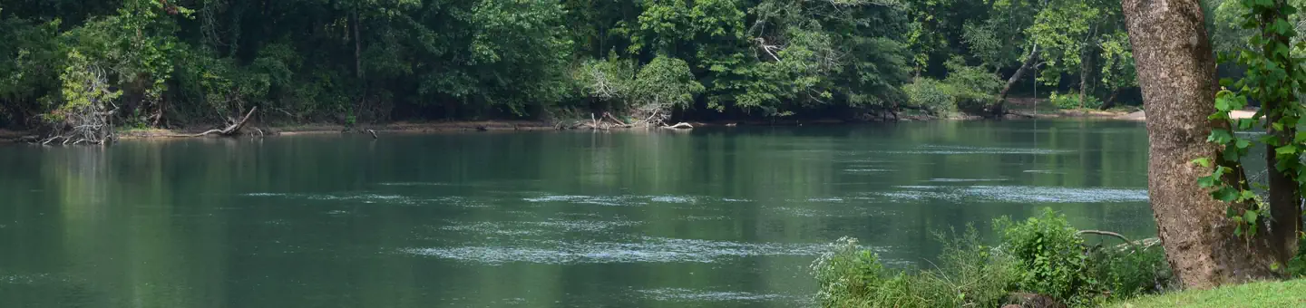
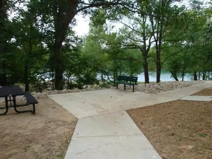
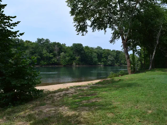
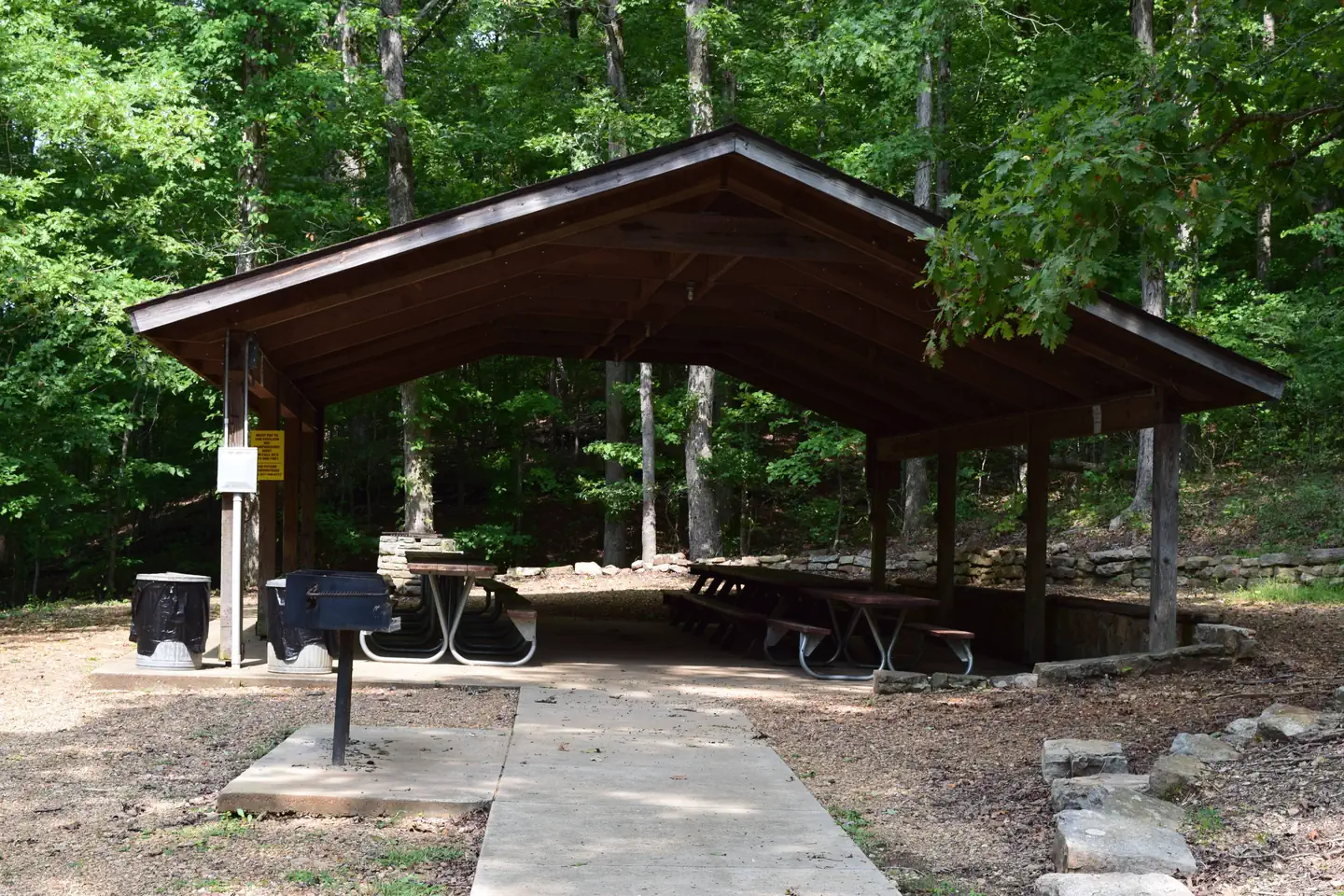
Overview Float Camp Picnic Area is located only 150 feet from the cool waters of the crystal clear Current River. Visitors enjoy floating the river, fishing and hiking. A campground is only a half-mile away for those who want to stay longer than a day.Recreation The swift-moving river allows for enjoyable float trips, as well as canoeing and great fishing. Swimming is also a popular pastime. Visitors enjoy horseshoe pits and volleyball courts, as well as hiking and other recreational opportunities nearby. Facilities The day-use picnic area offers an accessible group shelter that can accommodate up to 75 people. The site is equipped with electricity, tables and grills. Individual sites are available on a first come, first served basis. Accessible vault toilets, drinking water and trash collection are provided.Natural Features The picnic area is nestled under a mature forest of hardwoods, which offers plentiful shade. It is adjacent to the Current River. Nearby Attractions Doniphan is four miles away and offers float trip outfitters, restaurants and lodging.
Photos
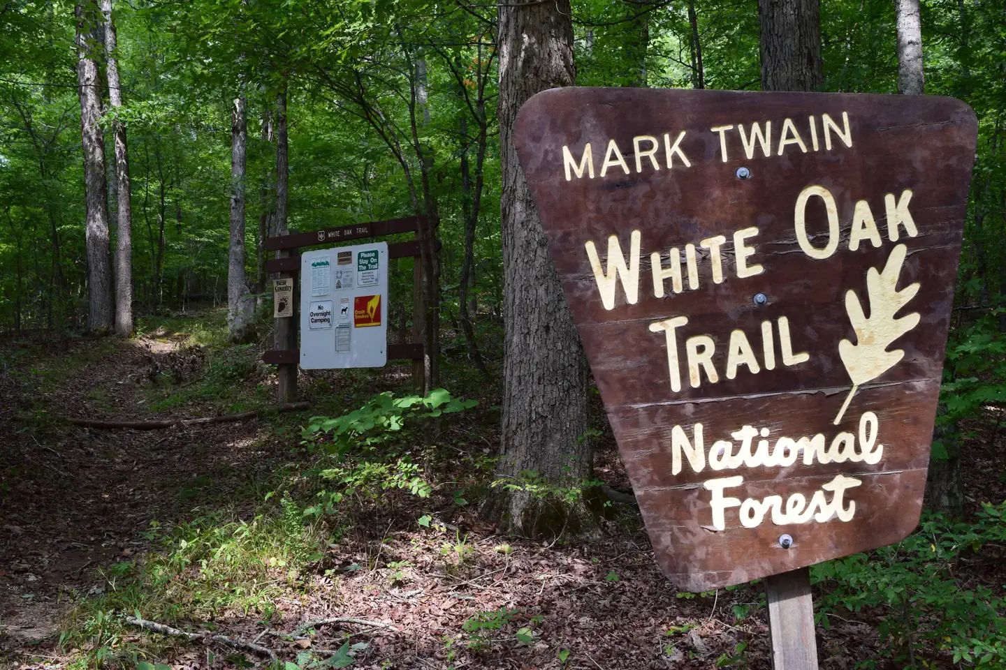
White Oak Trailhead — Mark Twain National ForestFLOAT CAMP PICNIC AREA — Mark Twain National ForestFLOAT CAMP PICNIC AREAView of Current River from Float Camp Picnic Area — Mark Twain National ForestFLOAT CAMP PICNIC AREA — Mark Twain National ForestWOODCHUCK TRAILHEAD — Mark Twain National Forest
How to Get There
From Doniphan, Missouri, go 4.5 miles north on Highway Y. Go west on Forest Service Road 3210 for 0.5 miles to the recreation area.
Download your route in advance via Gaia, Caltopo, or OSM-based apps.
🛍
Dry bags for electronics
Phone, camera, and snacks should stay dry.
Recommendations adapt to the current forecast + trail stats. Use them as a starting point — local conditions, your experience, and the time of day you start all matter.
Plan Your Visit to FLOAT CAMP PICNIC AREA
Heading to FLOAT CAMP PICNIC AREA? A few things to know before you go:
Reservations: popular sites fill up fast — check Recreation.gov 6 months in advance
Fees: day-use and camping fees vary; check current rates on the official park page
Trash & pack-out: follow Leave No Trace principles
Wildlife: store food in bear boxes where provided; never feed wildlife
Weather: the 5-day forecast above is updated every 6 hours; verify just before you go
Frequently Asked Questions
Do I need a reservation for FLOAT CAMP PICNIC AREA?
No central reservation system listed for FLOAT CAMP PICNIC AREA. Check the official page (https://www.recreation.gov/camping/campgrounds/232418) for the latest entry policy and availability.
How do I get to FLOAT CAMP PICNIC AREA?
From Doniphan, Missouri, go 4.5 miles north on Highway Y. Go west on Forest Service Road 3210 for 0.5 miles to the recreation area.