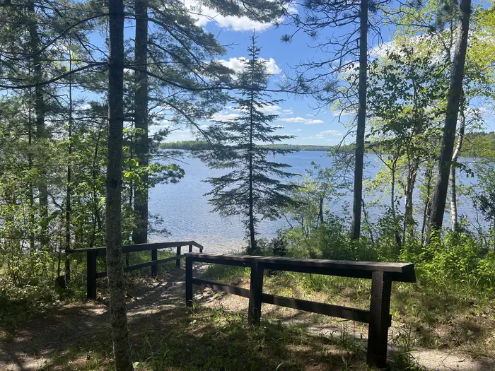
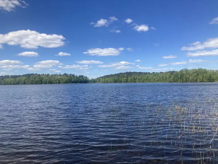
Overview Williams Narrows Campground is located on Cut Foot Sioux Lake in the heart of the Chippewa National Forest. Visitors come to the area for boating, trophy muskie fishing and beautiful scenery. The Chippewa National Forest and the Leech Lake Band of Ojibwe work together to co-steward resources - making the Fores…
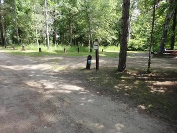
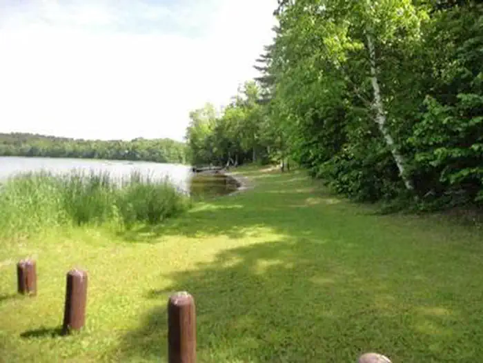
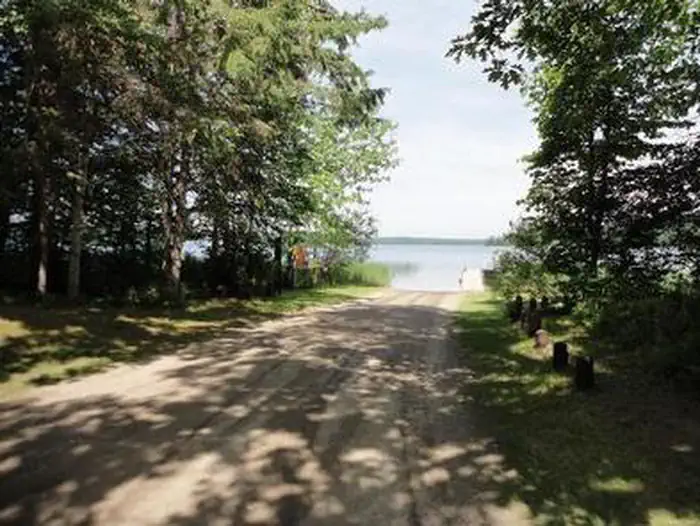
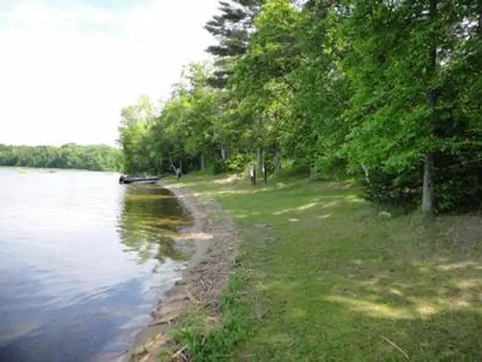
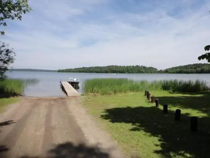
Overview Williams Narrows Campground is located on Cut Foot Sioux Lake in the heart of the Chippewa National Forest. Visitors come to the area for boating, trophy muskie fishing and beautiful scenery. The Chippewa National Forest and the Leech Lake Band of Ojibwe work together to co-steward resources - making the Forest a great place to recreate as well as a special place where cultural and traditional resources are protected and preserved and the Band’s treaty rights are respected. Recreation Boating, swimming, and fishing are popular activities on Cut Foot Sioux Lake. A boat ramp and swimming beach are located between the campground's two loops. Miles of trails in the area provide great hiking, horseback riding, mountain biking, and birding opportunities. The Simpson Creek Trail and Cut Foot Sioux National Recreation Area Trail can be accessed by boating across the narrows.Cut Foot Sioux Lake is located next to Lake Winnibigoshish. Lake Winnie offers excellent fishing opportunities for walleye, perch, and muskie. It is one of Minnesota's premier fisheries. Boating and water skiing are popular activities there as well. Facilities The campground offers several single-unit campsites, each equipped with a picnic table and campfire ring. Vault toilets and hand pumps for drinking water are provided in each loop. Natural Features The campground is situated on the eastern shore of Cut Foot Sioux Lake. A scenic forest of birch, oak and pine trees shades the campground. A few campsites have lake views. The lake is home to a variety of waterfowl and birds of prey, including loons, osprey and bald eagles.
Photos
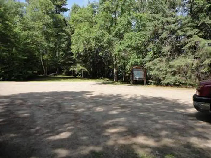
WILLIAMS NARROWS — USFSA photo of facility WILLIAMS NARROWS with Waterfront — Alexandria NessA photo of facility WILLIAMS NARROWS with Waterfront — Jonathan BuhlerA photo of facility WILLIAMS NARROWS with No Amenities Shown — Jonathan BuhlerWILLIAMS NARROWS — USFSWILLIAMS NARROWS — USFSWILLIAMS NARROWS — USFSWILLIAMS NARROWS — USFSWILLIAMS NARROWS — USFS
How to Get There
From Deer River, take Highway 46 north 15 miles. Turn west on Bowen/Williams Narrows Road (County Road 148) and travel two miles to the campground.
Download your route in advance via Gaia, Caltopo, or OSM-based apps.
Recommendations adapt to the current forecast + trail stats. Use them as a starting point — local conditions, your experience, and the time of day you start all matter.
Plan Your Visit to WILLIAMS NARROWS
Heading to WILLIAMS NARROWS? A few things to know before you go:
Reservations: popular sites fill up fast — check Recreation.gov 6 months in advance
Fees: day-use and camping fees vary; check current rates on the official park page
Trash & pack-out: follow Leave No Trace principles
Wildlife: store food in bear boxes where provided; never feed wildlife
Weather: the 5-day forecast above is updated every 6 hours; verify just before you go
Frequently Asked Questions
Do I need a reservation for WILLIAMS NARROWS?
No central reservation system listed for WILLIAMS NARROWS. Check the official page (https://www.recreation.gov/camping/campgrounds/233850) for the latest entry policy and availability.
How do I get to WILLIAMS NARROWS?
From Deer River, take Highway 46 north 15 miles. Turn west on Bowen/Williams Narrows Road (County Road 148) and travel two miles to the campground.