Brimson, Minnesota · St. Louis County · Campground
Overview Cadotte Lake Campground lines the western shore of Cadotte Lake in Superior National Forest. A boat ramp and fishing dock make the campground convenient for anglers, and the sandy swimming beach is popular among families. Superior National Forest, located in northeastern Minnesota's arrowhead region, is compri…
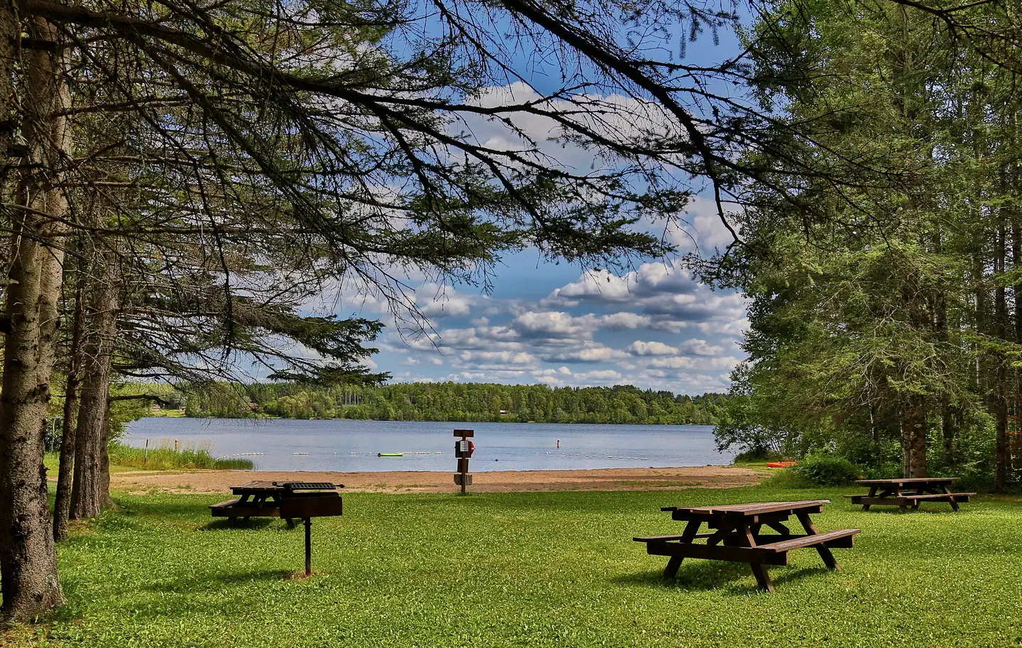
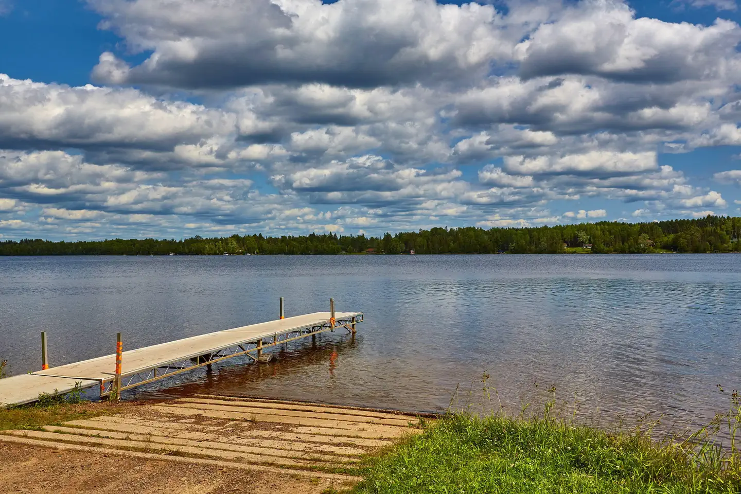
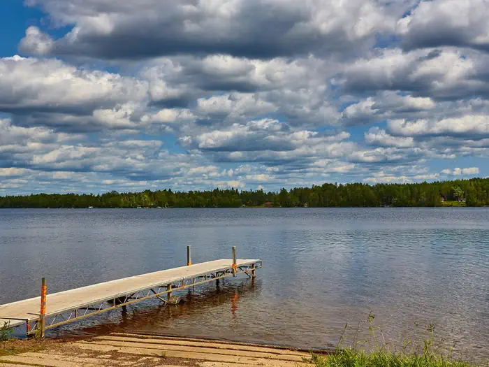
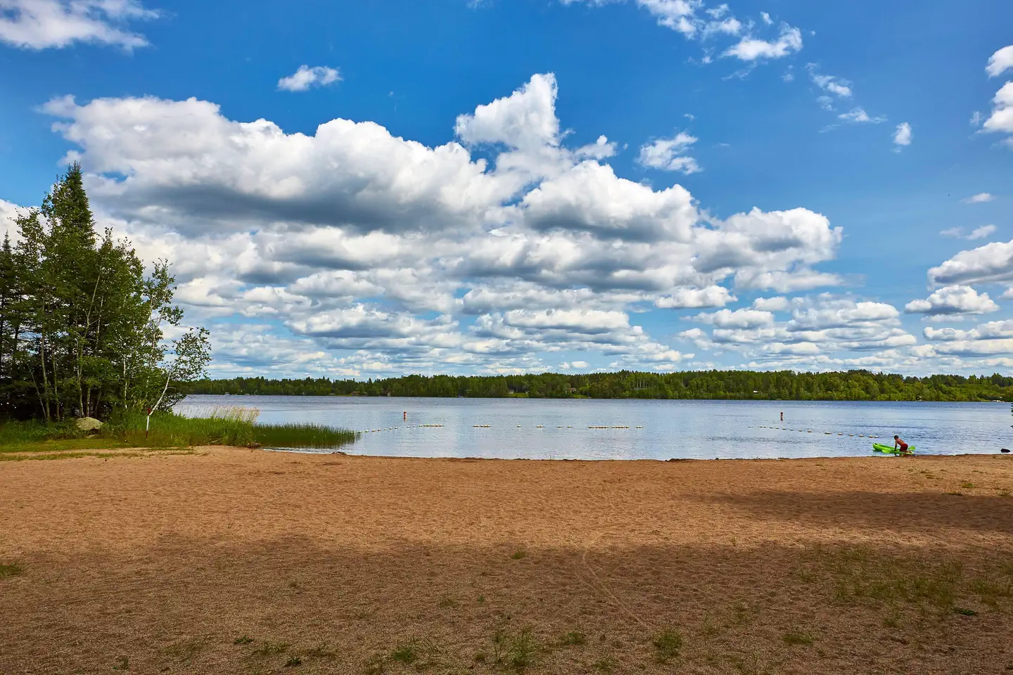
Overview Cadotte Lake Campground lines the western shore of Cadotte Lake in Superior National Forest. A boat ramp and fishing dock make the campground convenient for anglers, and the sandy swimming beach is popular among families. Superior National Forest, located in northeastern Minnesota's arrowhead region, is comprised of 3 million acres. The forest spans 150 miles along the United States-Canada border. Visitors can find recreation opportunities year-round, including exploring the famous Boundary Waters Canoe Area Wilderness.Recreation The 318-acre Cadotte Lake is a great spot to fish for walleye and northern pike. The surrounding national forest offers a wide variety of recreational opportunities, including hiking in secluded woodlands and canoeing in pristine lakes and rivers. View recreation guides and maps of hiking trails and canoe routes in the national forest.Facilities Cadotte Campground is in a wooded area with private sites, some of which have views of the lake and access to trails that lead to the water. Some campsites can accommodate RVs up to 45 ft. in length. The facility provides fishing areas, a boat ramp, dock and sandy beach. Natural Features Superior National Forest is known for its boreal forest ecosystem, numerous clean lakes and diversity of animals and plants. The campground lies in a mixed evergreen, birch and aspen forest. Nearby Attractions Numerous outdoor recreation opportunities lie within Superior National Forest's 77 lake access points, 13 fishing piers, 10 swimming beaches and 22 picnic areas. The forest is also home to three scenic byways.
Photos
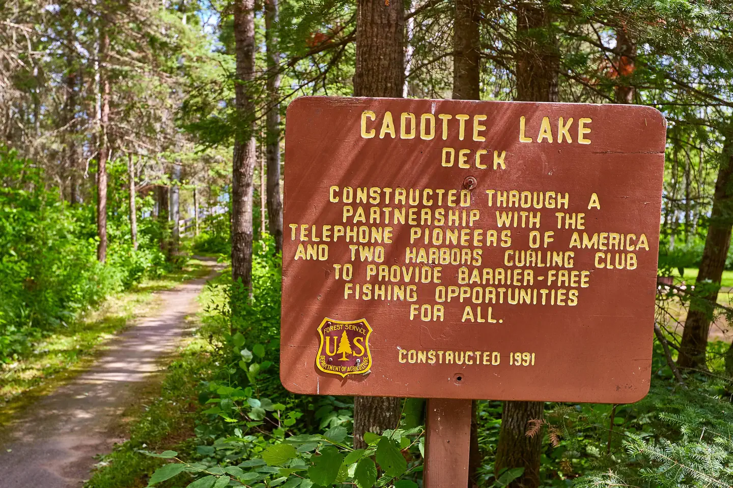
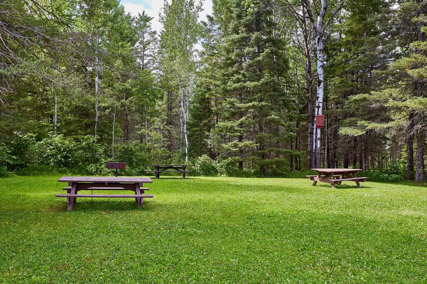
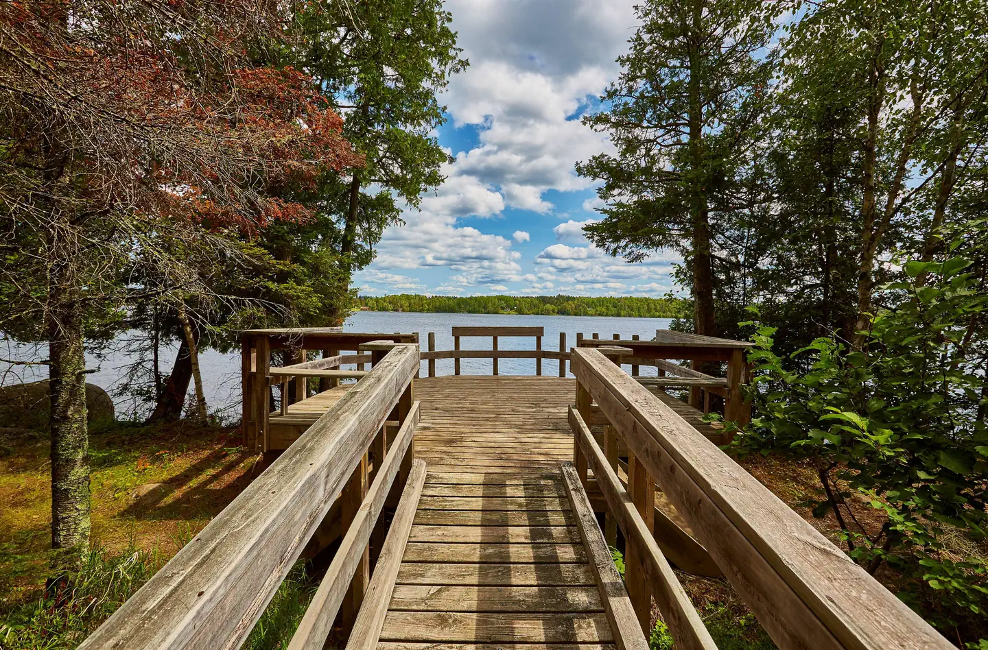
Deck Sign — Bob McNamaraBeach View — Bob McNamaraBoat Landing — Bob McNamaraPicnic Area — Bob McNamaraCadotte Lake Launch — Bob McNamaraFishing Dock — Bob McNamaraBeach — Bob McNamara
How to Get There
From Two Harbors, Minnesota, take Highway 2 north for 25 miles, turn west on County Road 15 and travel 12 miles. Turn north onto Forest Road 425 and travel 0.6 miles, then turn on Forest Road 778 and travel southwest for a mile to the campground.
Download your route in advance via Gaia, Caltopo, or OSM-based apps.
Recommendations adapt to the current forecast + trail stats. Use them as a starting point — local conditions, your experience, and the time of day you start all matter.
Plan Your Visit to CADOTTE LAKE
Heading to CADOTTE LAKE? A few things to know before you go:
Reservations: popular sites fill up fast — check Recreation.gov 6 months in advance
Fees: day-use and camping fees vary; check current rates on the official park page
Trash & pack-out: follow Leave No Trace principles
Wildlife: store food in bear boxes where provided; never feed wildlife
Weather: the 5-day forecast above is updated every 6 hours; verify just before you go
Frequently Asked Questions
Do I need a reservation for CADOTTE LAKE?
No central reservation system listed for CADOTTE LAKE. Check the official page (https://www.recreation.gov/camping/campgrounds/232189) for the latest entry policy and availability.
How many campsites are at CADOTTE LAKE?
CADOTTE LAKE has 29 campsites. Site amenities (hookups, vehicle limits, ADA access) vary — see the individual campsite pages for details.
How do I get to CADOTTE LAKE?
From Two Harbors, Minnesota, take Highway 2 north for 25 miles, turn west on County Road 15 and travel 12 miles. Turn north onto Forest Road 425 and travel 0.6 miles, then turn on Forest Road 778 and travel southwest for a mile to the campground.