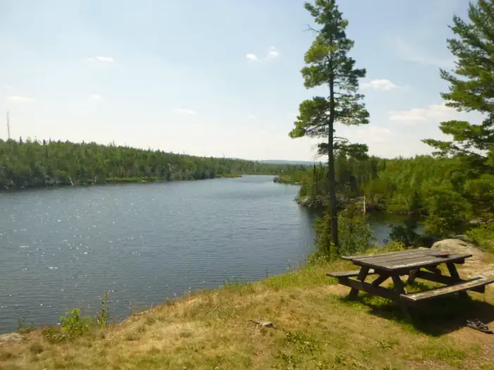
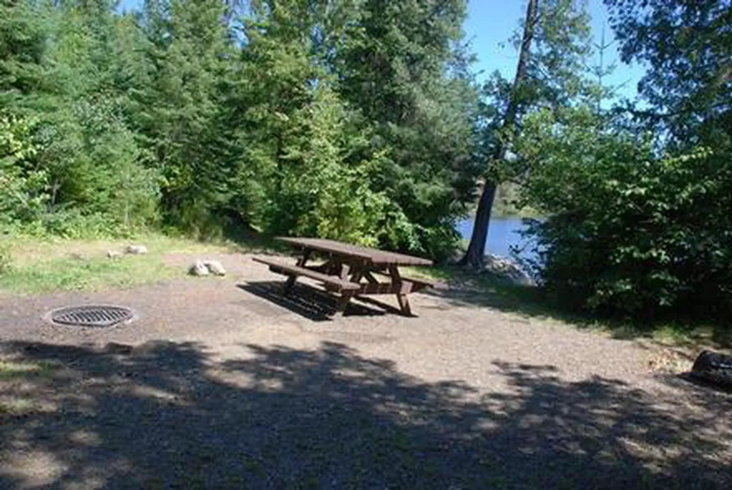
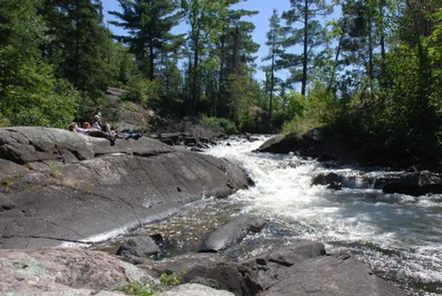
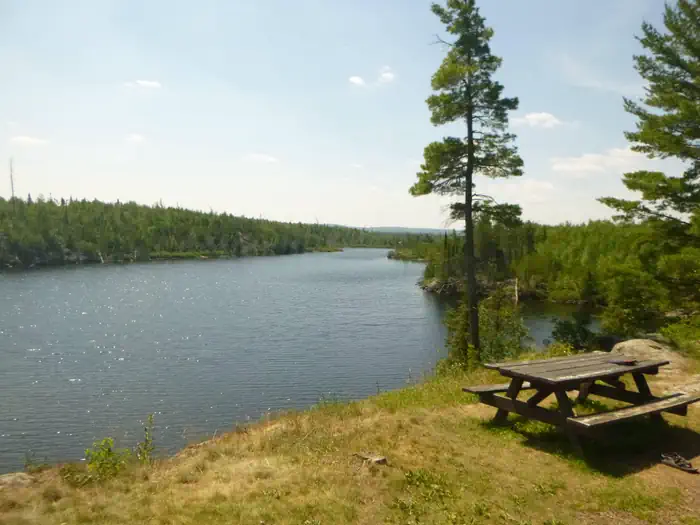
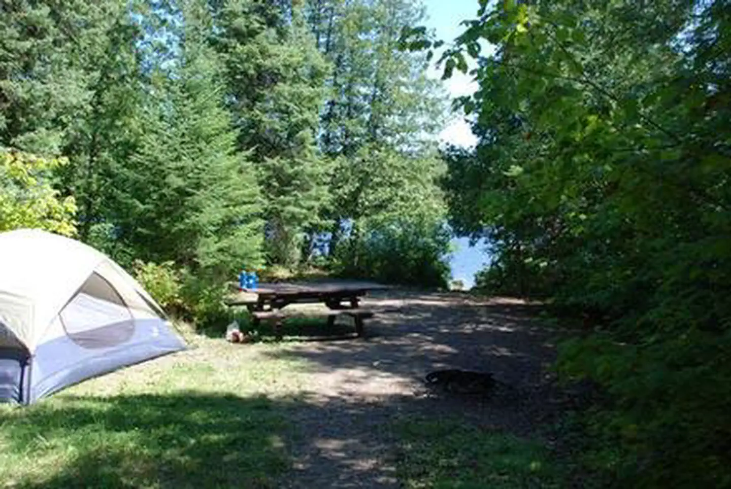
Overview Trail's End Campground is located next to the Boundary Waters Canoe Area Wilderness (BWCAW) in a remote area of Superior National Forest in northern Minnesota. It is a wonderful place to sit and enjoy life, or get out on the water to canoe and fish. Berry picking and wildlife viewing are also great fun. Recrea…
Overview Trail's End Campground is located next to the Boundary Waters Canoe Area Wilderness (BWCAW) in a remote area of Superior National Forest in northern Minnesota. It is a wonderful place to sit and enjoy life, or get out on the water to canoe and fish. Berry picking and wildlife viewing are also great fun. Recreation Trail's End includes four entry points (54, 55, J and K) into the BWCAW, offering plenty of boating, canoeing and fishing opportunities. Overnight, day use and boat motor permits are required for entry, and horsepower limits are in effect. Day use and overnight permits are available at the campground. Wildlife viewing is exceptional for bald eagles, osprey, loons and moose, and fishing is good for walleye, northern pike, smallmouth bass and lake trout. View recreation guides and maps of hiking trails and canoe routes in the national forest.Facilities Many campsites are walk-to sites designated for tent camping only. Some have a view of or access to water, while other have steep drop-offs. Other campsites can accommodate equipment ranging in size from tents to 45-foot RVs. The campground is routinely patrolled by the County Sheriff and campground host. Commercial services include canoe rentals, outfitting, showers, groceries and gear. Long and short term parking for the BWCAW is also available.Natural Features Trail's End sits along the Seagull River and provides access to Seagull, Gull and Saganaga Lakes. Numerous species of wildlife live in and around the campground, and blueberries grow abundantly on the forest floor. White and red pine, aspen and birch trees grow in the forested parts of the facility, providing shade. The fire burned a mosaic pattern, reducing some areas to ash while leaving others untouched. Many trees survived and burned areas have begun to grow again. This is a great opportunity to see a young forest rejuvenate after a fire. Post-fire soils and young trees are delicate, so caution should be taken while walking in the forest.
Photos
TRAILS END CAMPGROUNDTRAILS END CAMPGROUNDTRAILS END CAMPGROUNDTRAILS END CAMPGROUNDTRAILS END CAMPGROUND — Superior National ForestTRAILS END CAMPGROUND
How to Get There
From Grand Marais, Minnesota, take Gunflint Trail (County Road 12) 57 miles north. Gunflint Trail ends at Trail's End Campground.
Download your route in advance via Gaia, Caltopo, or OSM-based apps.
Recommendations adapt to the current forecast + trail stats. Use them as a starting point — local conditions, your experience, and the time of day you start all matter.
Plan Your Visit to TRAILS END CAMPGROUND
Heading to TRAILS END CAMPGROUND? A few things to know before you go:
Reservations: popular sites fill up fast — check Recreation.gov 6 months in advance
Fees: day-use and camping fees vary; check current rates on the official park page
Trash & pack-out: follow Leave No Trace principles
Wildlife: store food in bear boxes where provided; never feed wildlife
Weather: the 5-day forecast above is updated every 6 hours; verify just before you go
Frequently Asked Questions
Do I need a reservation for TRAILS END CAMPGROUND?
No central reservation system listed for TRAILS END CAMPGROUND. Check the official page (https://www.recreation.gov/camping/campgrounds/232428) for the latest entry policy and availability.
How do I get to TRAILS END CAMPGROUND?
From Grand Marais, Minnesota, take Gunflint Trail (County Road 12) 57 miles north. Gunflint Trail ends at Trail's End Campground.