Overview Smith Rapids Campground is located on the South Fork of the Flambeau River. It is an ideal location for hiking, river fishing and canoeing. Recreation The fast-flowing South Fork of the Flambeau River is popular among canoeists. A carry-down boat ramp is available at the campground. The river has walleye, smal…
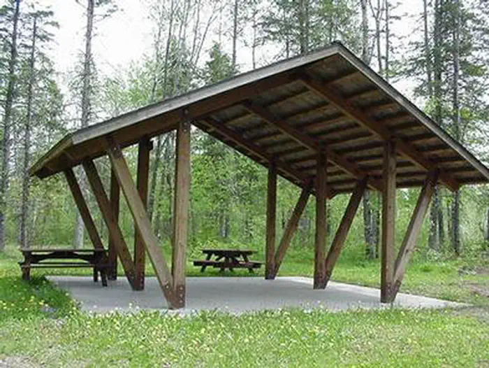
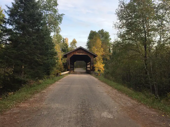
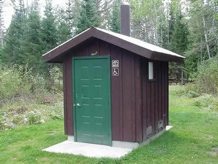
Overview Smith Rapids Campground is located on the South Fork of the Flambeau River. It is an ideal location for hiking, river fishing and canoeing. Recreation The fast-flowing South Fork of the Flambeau River is popular among canoeists. A carry-down boat ramp is available at the campground. The river has walleye, smallmouth bass, redhorse, musky and northern pike. The campground is also in close proximity to the 70-mile Flambeau Trail System, open to off-road vehicles, hiking and mountain biking. The trail is highlighted by rolling terrain, tree-lined corridors, a wooden bridge and vistas overlooking various bogs and lakes. It is a popular snowmobiling location during winter months. Off-road vehicles are not permitted to operate in Smith Rapids Campground. Facilities The campground offers single-family sites for tent and RV camping. Several of the sites have extra long parking spurs. Tables and campfire rings are provided, as are vault toilets and drinking water. Natural Features At an elevation of about 1,500 feet, the campground provides shady, wooded sites. Smith Rapids is located on the South Fork of the Flambeau River, with a scenic view of Smith Rapids Covered Bridge. Constructed in 1991, the bridge is the only glue-laminated town lattice covered bridge in Wisconsin. Nearby Attractions Park Falls, Wisconsin is approximately 17 miles from the campground and is a full service community.
Photos
Smith Rapids Covered Bridge With Early Autumn Colors — USFSSMITH RAPIDSSmith Rapids Covered Bridge — USFSSMITH RAPIDS CAMPSITE — USFSSMITH RAPIDS
How to Get There
From Fifield, travel east on State Highway 70 for a little more than 12 miles and turn left (north) onto Forest Service Road 148. Continue for 2 miles to the campground.
Download your route in advance via Gaia, Caltopo, or OSM-based apps.
Recommendations adapt to the current forecast + trail stats. Use them as a starting point — local conditions, your experience, and the time of day you start all matter.
Plan Your Visit to SMITH RAPIDS
Heading to SMITH RAPIDS? A few things to know before you go:
Reservations: popular sites fill up fast — check Recreation.gov 6 months in advance
Fees: day-use and camping fees vary; check current rates on the official park page
Trash & pack-out: follow Leave No Trace principles
Wildlife: store food in bear boxes where provided; never feed wildlife
Weather: the 5-day forecast above is updated every 6 hours; verify just before you go
Frequently Asked Questions
Do I need a reservation for SMITH RAPIDS?
No central reservation system listed for SMITH RAPIDS. Check the official page (https://www.recreation.gov/camping/campgrounds/233773) for the latest entry policy and availability.
How many campsites are at SMITH RAPIDS?
SMITH RAPIDS has 19 campsites. Site amenities (hookups, vehicle limits, ADA access) vary — see the individual campsite pages for details.
How do I get to SMITH RAPIDS?
From Fifield, travel east on State Highway 70 for a little more than 12 miles and turn left (north) onto Forest Service Road 148. Continue for 2 miles to the campground.