Watersmeet, Michigan · Gogebic County · Campground
Overview Planning a trip to the Sylvania Wilderness? Watch for Alerts at the top of the page for any Alerts regarding this facility. Encompassing one of the largest tracts of remaining old growth forest in the Midwest, the Sylvania Wilderness encompasses 18,327 acres and is part of the National Wilderness Preservation …
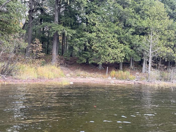
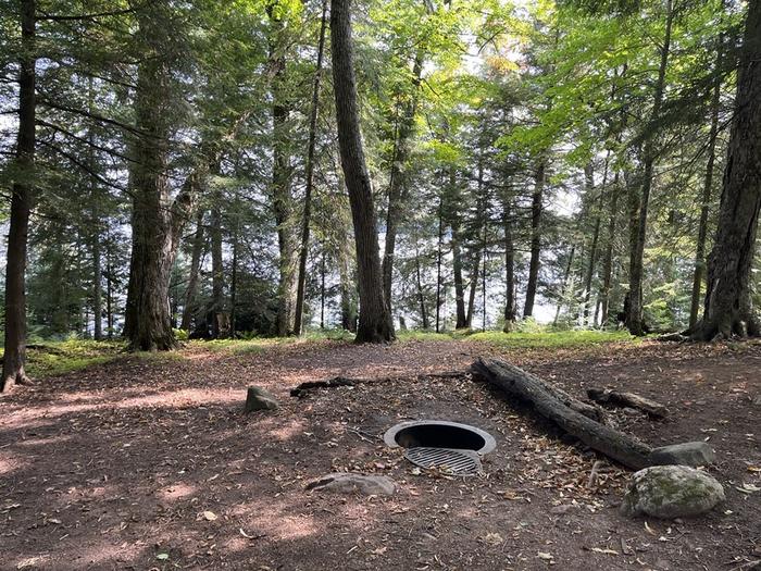
Overview Planning a trip to the Sylvania Wilderness? Watch for Alerts at the top of the page for any Alerts regarding this facility. Encompassing one of the largest tracts of remaining old growth forest in the Midwest, the Sylvania Wilderness encompasses 18,327 acres and is part of the National Wilderness Preservation System. 34 named lakes are within its boundary. Recreation opportunities include canoeing on Sylvania's undeveloped lakes, hiking through its old growth forest, and camping at one of its 50 designated backcountry campsites.Special rules and regulations are in place to protect the wilderness characteristics of Sylvania. If you are planning a trip, be sure to watch the Sylvania Wilderness Orientation Video and read the "Need to Know" tab on this web page to plan ahead and prepare.Recreation Canoeing, kayaking, fishing, hiking, and backcountry camping are the most popular activities. Campsites are scattered along 8 lakes within the wilderness. There a nearly 30 miles of hiking and portage trails. 18 lakes have maintained portage trails leading to them.Special Fishing Regulations applyFacilities The Sylvania Wilderness has 50 primitive individual backcountry campsites. Campsites are accessible by paddling or hiking and are not accessible by vehicles. No more than 6 people are allowed per campsite.Each is marked with a post along the shoreline, has a metal campfire ring, a wilderness style latrine, and most only have room for 2-3 tents.Campsites are located approximately 200 ft. from the shoreline.All sites are accessible from the water, but only some have maintained hiking trails that lead to them. Make sure to check the Sylvania Wilderness Map to see which sites are located along hiking trails before planning to hike to your campsite.Natural Features Located along the watershed divide between Lake Superior and the Mississippi River, old-growth northern-hardwood forest and undeveloped lakes are the primary features of the Wilderness. They provide habitat f
Photos
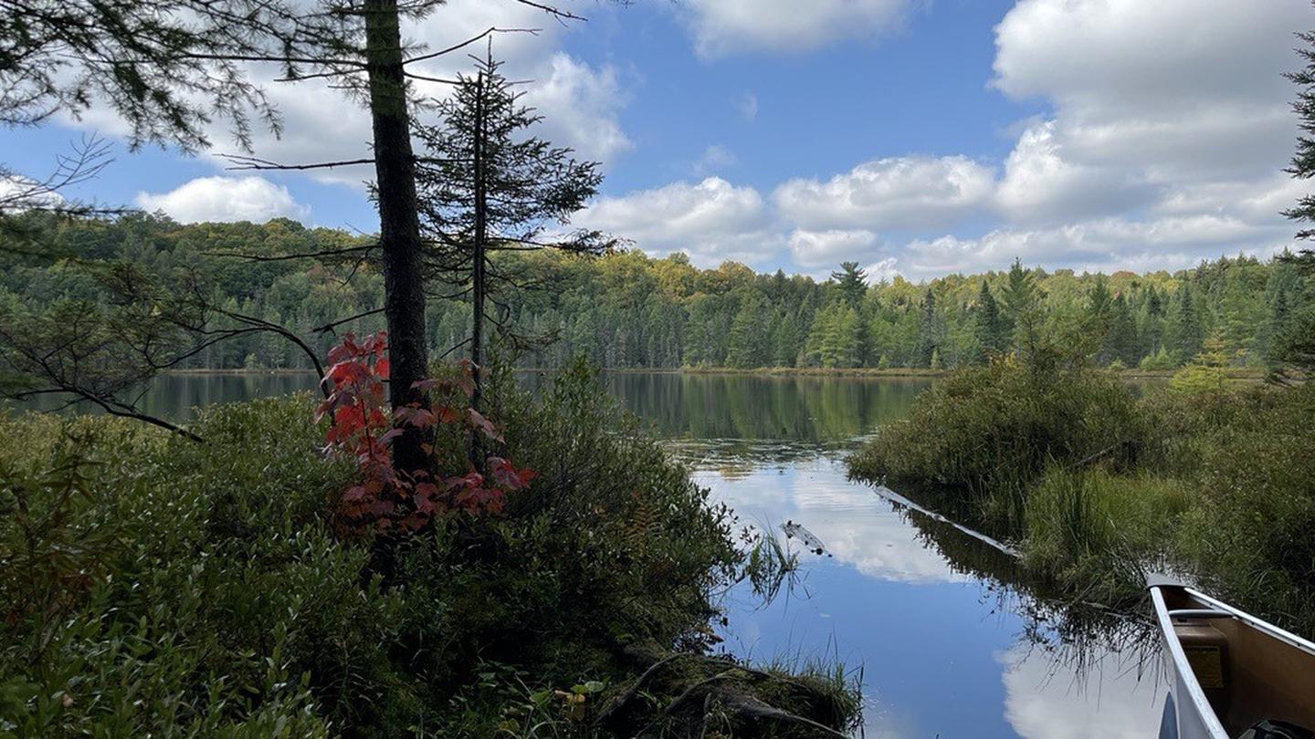
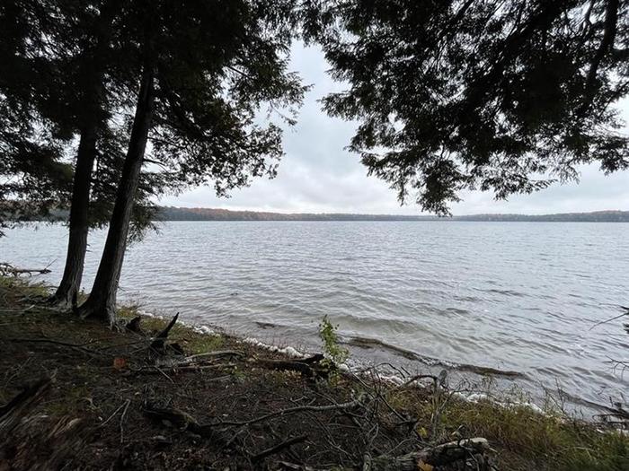
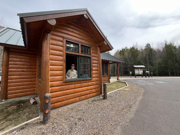
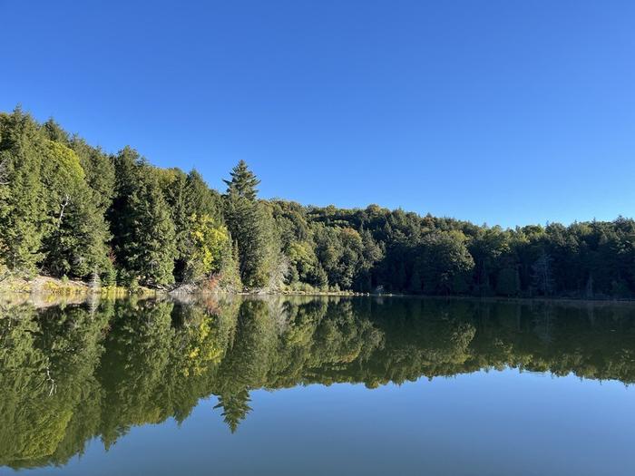
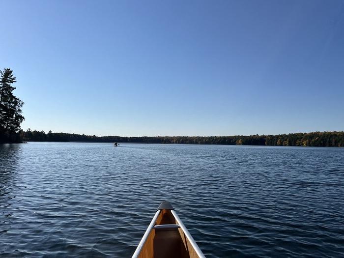
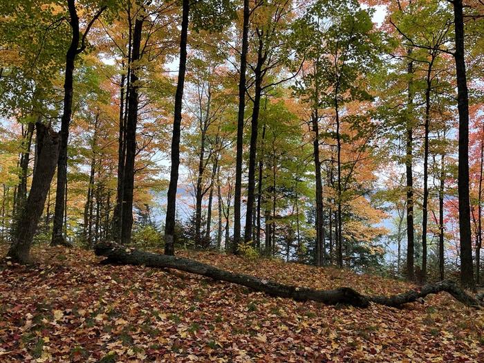
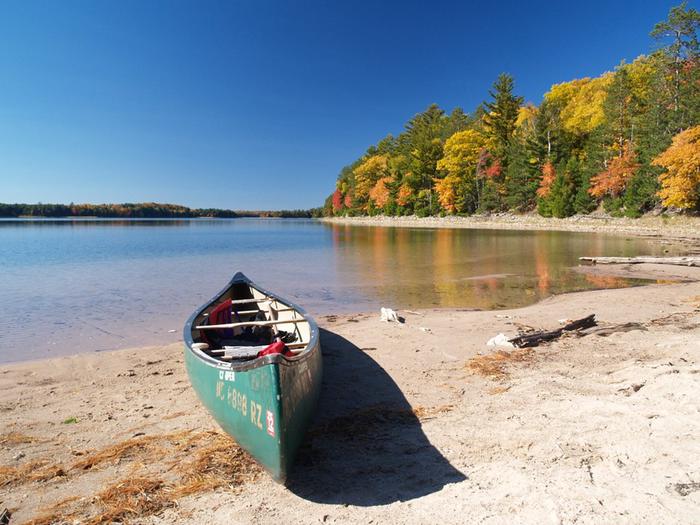
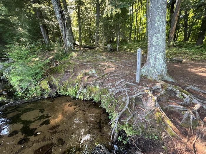
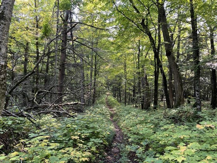
Waves approach a tree covered shore with gray storm clouds in the sky overhead. — Ottawa National ForestThe shore of a lake with trees and a campsite marker post in the distance. — Ottawa National ForestA campsite with a firegrate surrounded by trees with water visible beyond the trees. — Ottawa National ForestA window is open on a log entrance station building with a staff member inside ready to greet visitors. — Ottawa National ForestCalm water reflects trees along the shoreline of a lake with a beautiful blue sky overhead. — Ottawa National ForestThe front of a canoe surrounded by a blue lake with another canoe in the distance. — Ottawa National ForestA forest in colorful autumn foliage with a lake visible through the trees. — Ottawa National ForestA green canoe rests on a sandy beach. Blue water and a wooded shoreline beginning to show fall color are in the distance. — Ottawa National ForestA campsite landing with marker post above water surrounded by trees. — Ottawa National ForestA hiking trail lined with green bushes and trees branching overhead. — Ottawa National Forest
How to Get There
Backcountry wilderness campsites can be accessed from the Sylvania Recreation Area by parking at the Clark Lake or Crooked Lake Boat Landings, or from entry points on the perimeter of the wilderness (see map). To reach the Sylvania Entrance Station and Recreation Area: From Watersmeet, travel approximately 3.5 miles west on US 2 to County Road 535 (Thousand Island Lake Road), then drive south on CR 535 approximately 4 miles to the Sylvania Wilderness and Recreation Area entrance.
Download your route in advance via Gaia, Caltopo, or OSM-based apps.
Recommendations adapt to the current forecast + trail stats. Use them as a starting point — local conditions, your experience, and the time of day you start all matter.
Plan Your Visit to SYLVANIA WILDERNESS BACKCOUNTRY CAMPING
Heading to SYLVANIA WILDERNESS BACKCOUNTRY CAMPING? A few things to know before you go:
Reservations: popular sites fill up fast — check Recreation.gov 6 months in advance
Fees: day-use and camping fees vary; check current rates on the official park page
Trash & pack-out: follow Leave No Trace principles
Wildlife: store food in bear boxes where provided; never feed wildlife
Weather: the 5-day forecast above is updated every 6 hours; verify just before you go
Frequently Asked Questions
Do I need a reservation for SYLVANIA WILDERNESS BACKCOUNTRY CAMPING?
No central reservation system listed for SYLVANIA WILDERNESS BACKCOUNTRY CAMPING. Check the official page (https://www.recreation.gov/camping/campgrounds/234526) for the latest entry policy and availability.
How many campsites are at SYLVANIA WILDERNESS BACKCOUNTRY CAMPING?
SYLVANIA WILDERNESS BACKCOUNTRY CAMPING has 50 campsites. Site amenities (hookups, vehicle limits, ADA access) vary — see the individual campsite pages for details.
How do I get to SYLVANIA WILDERNESS BACKCOUNTRY CAMPING?
Backcountry wilderness campsites can be accessed from the Sylvania Recreation Area by parking at the Clark Lake or Crooked Lake Boat Landings, or from entry points on the perimeter of the wilderness (see map). To reach the Sylvania Entrance Station and Recreation Area: From Watersmeet, travel approximately 3.5 miles west on US 2 to County Road 535 (Thousand Island Lake Road), then drive south on C…
How do I contact SYLVANIA WILDERNESS BACKCOUNTRY CAMPING?