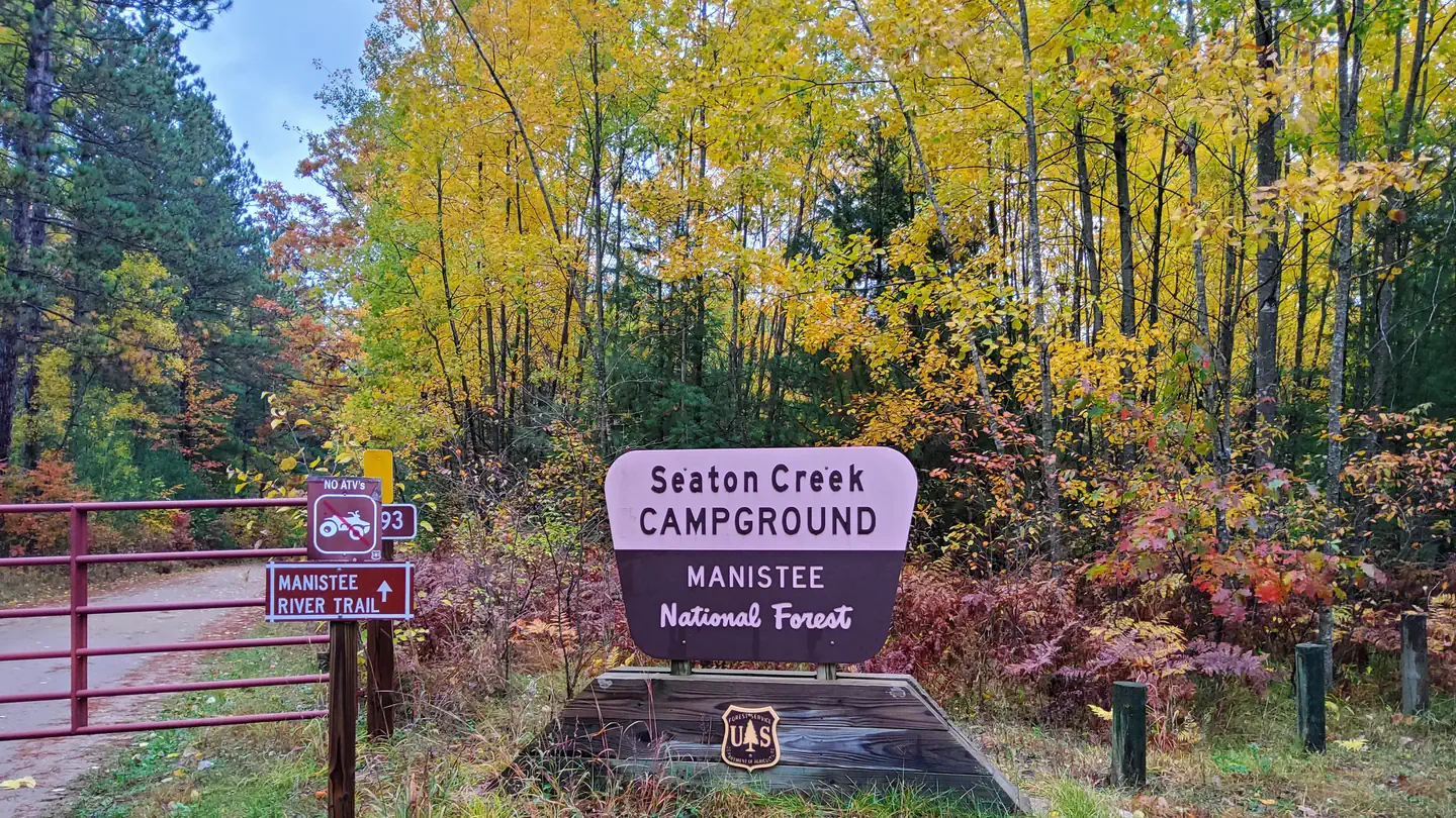
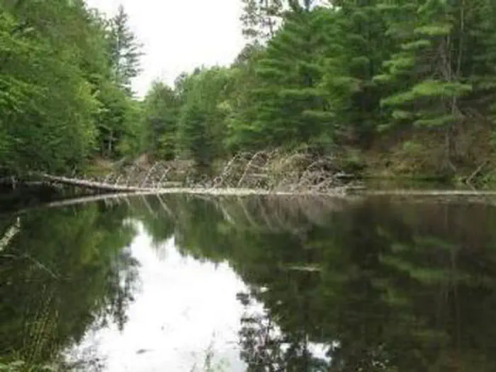
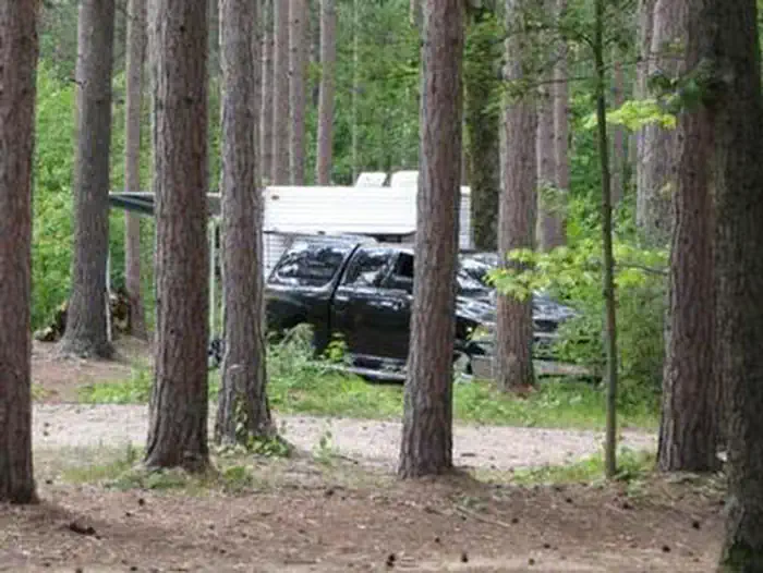
Overview Seaton Creek Campground adjoins Seaton Creek and is at the upper end of the backwater of Hodenpyl Dam Pond on the Big Manistee River. The forest surrounding the campground is mostly pine and the sites are rustic. The closest town is Mesick.Recreation The surrounding waters offer excellent fishing opportunities…
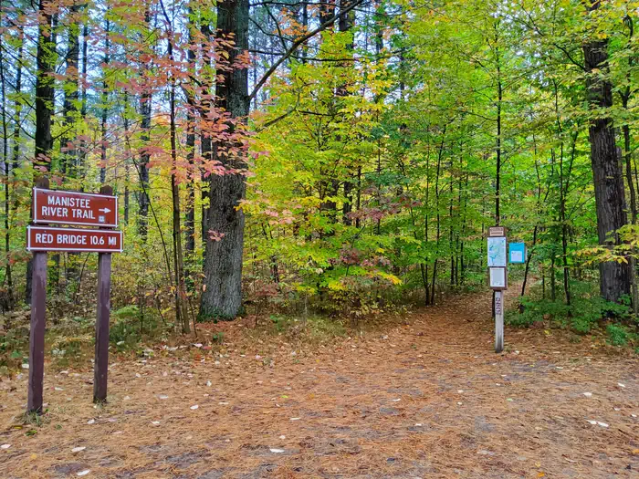
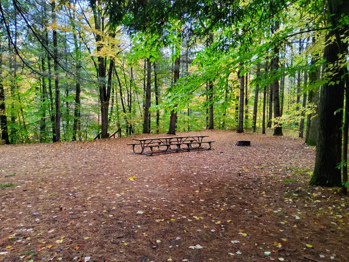
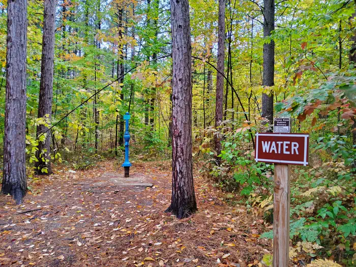
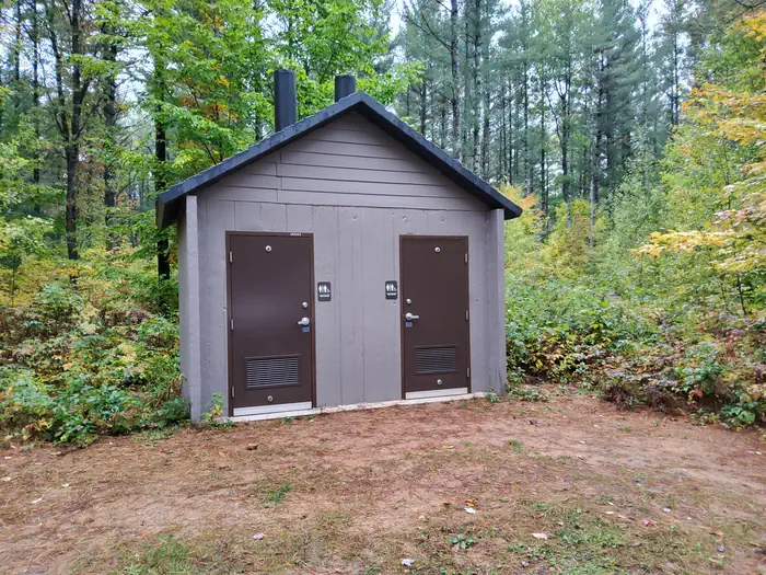
Overview Seaton Creek Campground adjoins Seaton Creek and is at the upper end of the backwater of Hodenpyl Dam Pond on the Big Manistee River. The forest surrounding the campground is mostly pine and the sites are rustic. The closest town is Mesick.Recreation The surrounding waters offer excellent fishing opportunities for both panfish (perch, bluegil, crappie, sunfish) and game fish (trout, bass, pike, salmon). For State Fishing Regulations consult the Michigan Department of Natural Resources website, website http://www.michigan.gov/dnr/ . Kayakers may access the campground by traveling up the very shallow Seaton Creek, however canoeing is not recommended unless you're putting in at the Hodenpyl Backwaters. From there, you can canoe the Big Manistee. There is a connector trail to the Manistee River Trail from this site. The North Country National Scenic Trail can be reached by crossing the suspension bridge over the Manistee River. The Upper Branch Trailhead is also nearby. Facilities Two group sites and 17 family sites area situated near a picnic area on the Hodenpyl Backwater of the Manistee River. There are two vault restroom buildings. Sites have fire rings and picnic tables. Drinking water is available.Natural Features The terrain surrounding Hodenpyl Dam Pond is characterized as hilly with a mix of hardwoods and conifers. Briar Hill, which has the second-highest elevation in the lower peninsula, is located about five miles east of Hodenpyl Dam Pond. A number of other tributaries enter Hodenpyl Dam Pond from the east, flowing off the slopes of Briar Hill. These streams are characterized by very high gradient and cold temperatures. They include Seaton Creek, Small Creek, Preston Creek, Cripple Creek, and several unnamed streams. These streams mostly host a mix of brown and brook trout, although a few have only brook trout. The trailhead for the Manistee River Trail is within the campground. Contact Info For facility specific information, please call (801) 226-3
Photos
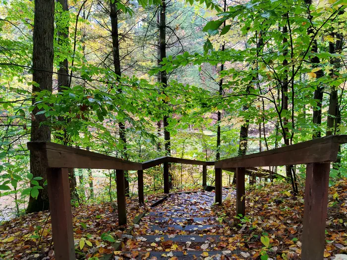
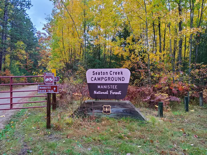
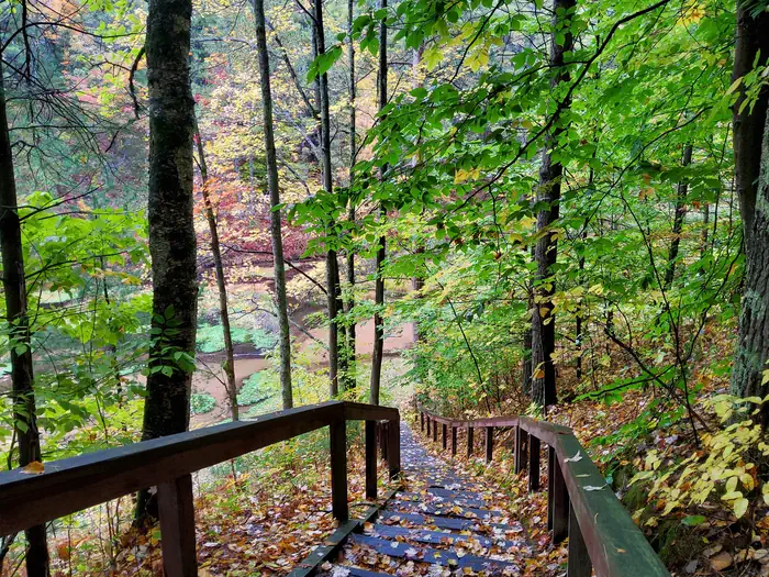
Manistee River Trail — USDA BWCDay Use — USDA BWCWater — USDA BWCStairs — USDA BWCSeaton Creek Campground Sign — USDA BWCStairs 2 — USDA BWCToilet — USDA BWCSEATON CREEK CAMPGROUNDSEATON CREEK CAMPGROUND
How to Get There
From the north: Follow M-37 south 6 miles from Mesick. Turn right on 26 Road (near Yuma) for 1.7 miles, then right on O'Rourke Drive for 1.3 miles, then right on Forest Road 5993 for 0.4 mile to the site. From the south: Take M-37 north 9 miles from its intersection with M-55. Turn left on 26 Road for 1.7 miles, then right on O'Rourke Drive for 1.3 miles, then right on Forest Road 5993 for 0.4 miles to the site.
Download your route in advance via Gaia, Caltopo, or OSM-based apps.
Recommendations adapt to the current forecast + trail stats. Use them as a starting point — local conditions, your experience, and the time of day you start all matter.
Plan Your Visit to SEATON CREEK CAMPGROUND
Heading to SEATON CREEK CAMPGROUND? A few things to know before you go:
Reservations: popular sites fill up fast — check Recreation.gov 6 months in advance
Fees: day-use and camping fees vary; check current rates on the official park page
Trash & pack-out: follow Leave No Trace principles
Wildlife: store food in bear boxes where provided; never feed wildlife
Weather: the 5-day forecast above is updated every 6 hours; verify just before you go
Frequently Asked Questions
Do I need a reservation for SEATON CREEK CAMPGROUND?
No central reservation system listed for SEATON CREEK CAMPGROUND. Check the official page (https://www.recreation.gov/camping/campgrounds/250045) for the latest entry policy and availability.
How do I get to SEATON CREEK CAMPGROUND?
From the north: Follow M-37 south 6 miles from Mesick. Turn right on 26 Road (near Yuma) for 1.7 miles, then right on O'Rourke Drive for 1.3 miles, then right on Forest Road 5993 for 0.4 mile to the site. From the south: Take M-37 north 9 miles from its intersection with M-55. Turn left on 26 Road for 1.7 miles, then right on O'Rourke Drive for 1.3 miles, then right on Forest Road 5993 for 0.4 mil…
How do I contact SEATON CREEK CAMPGROUND?
You can reach the park at phone: 231-723-0141 or email: [email protected].