FacilityPermitRecreation.gov

Pine National Scenic River Watercraft Permits (Huron Manistee)

Harrietta, Michigan · Wexford County · Permit

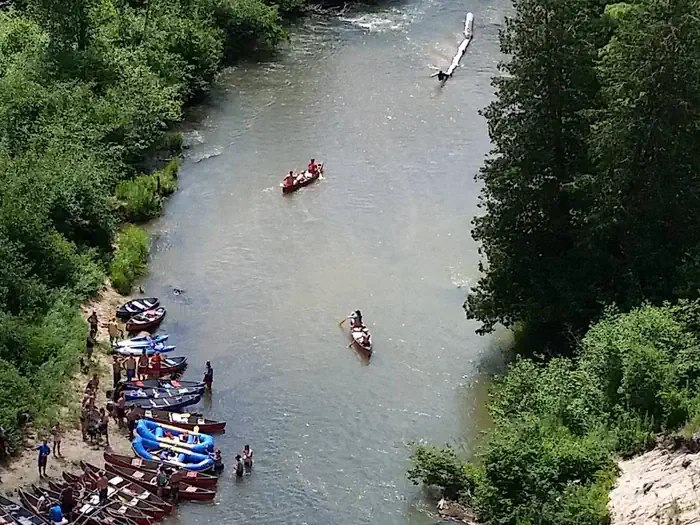
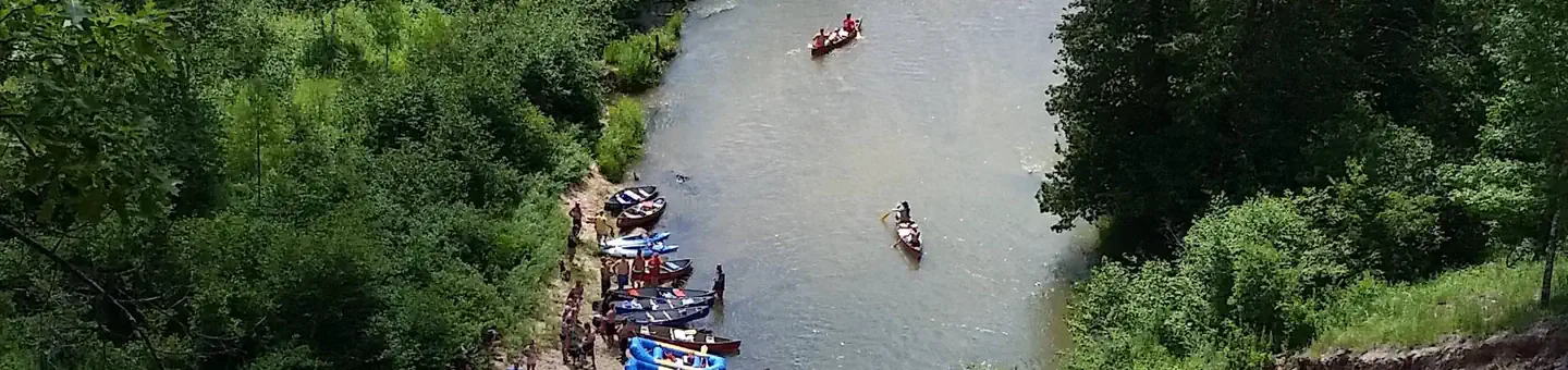
Overview:The lower 26 miles of the Pine River was designated as a National Scenic River in 1992. Scenery is one of the most outstanding attributes of the river. The designated portion of the river contains a unique riparian landform with a deeply incised river channel and high, exposed, fragile sand banks. Dense vegeta…

Advertisement
44.20194, -85.79806
Open in OpenStreetMap

About Pine National Scenic River Watercraft Permits (Huron Manistee)

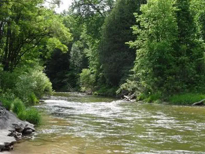
Overview:The lower 26 miles of the Pine River was designated as a National Scenic River in 1992. Scenery is one of the most outstanding attributes of the river. The designated portion of the river contains a unique riparian landform with a deeply incised river channel and high, exposed, fragile sand banks. Dense vegetation contributes to the picturesque setting of the river. Camping within the river corridor on National Forest lands is prohibited, except at Peterson Bridge Campground . Fees for using river access sites are charged under the Recreation Fee Enhancement Act. Check the bulletin board at each site for fees and additional information.
How to Get There

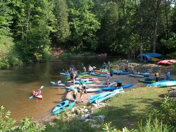
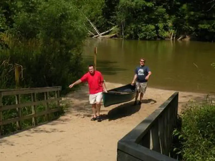
From Manistee: Peterson Bridge North/Campground: Travel east on M-55 for 26 miles, turn right and travel south on M-37 for 1.5 miles, Day Use Area/Canoe Launch: the entrance is on the left before the bridge. Campground: The entrance is on the left south of the bridge. Other access sites include Elm Flats, Dobson Bridge, and Low Bridge.

Driving directions (Google Maps) →

Plan Your Visit to Pine National Scenic River Watercraft Permits (Huron Manistee)

Heading to Pine National Scenic River Watercraft Permits (Huron Manistee)? A few things to know before you go:

  • Reservations: popular sites fill up fast — check Recreation.gov 6 months in advance
  • Fees: day-use and camping fees vary; check current rates on the official park page
  • Trash & pack-out: follow Leave No Trace principles
  • Wildlife: store food in bear boxes where provided; never feed wildlife
  • Weather: the 5-day forecast above is updated every 6 hours; verify just before you go

Frequently Asked Questions

Do I need a reservation for Pine National Scenic River Watercraft Permits (Huron Manistee)?

No central reservation system listed for Pine National Scenic River Watercraft Permits (Huron Manistee). Check the official page (https://www.recreation.gov/camping/campgrounds/249990) for the latest entry policy and availability.

How do I get to Pine National Scenic River Watercraft Permits (Huron Manistee)?

From Manistee: Peterson Bridge North/Campground: Travel east on M-55 for 26 miles, turn right and travel south on M-37 for 1.5 miles, Day Use Area/Canoe Launch: the entrance is on the left before the bridge. Campground: The entrance is on the left south of the bridge. Other access sites include Elm Flats, Dobson Bridge, and Low Bridge.

How do I contact Pine National Scenic River Watercraft Permits (Huron Manistee)?

You can reach the park at email: r9_hmnf_website@fs.fed.us.