Grand Marais, Michigan · Alger County · Campground
Overview Pictured Rocks National Lakeshore hugs the Lake Superior shoreline for more than 40 miles along Michigan's northern coast. Lake Superior is the largest, deepest, coldest, and most pristine of all the Great Lakes. Camping at Pictured Rocks National Lakeshore is a great way to relax and enjoy the beauties the la…
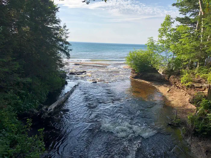
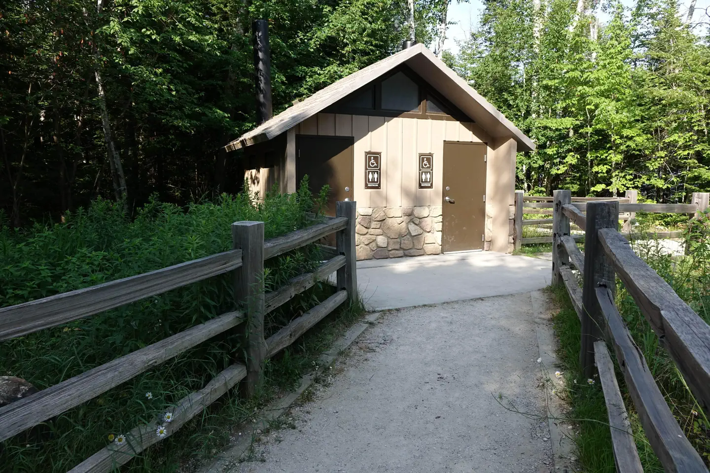
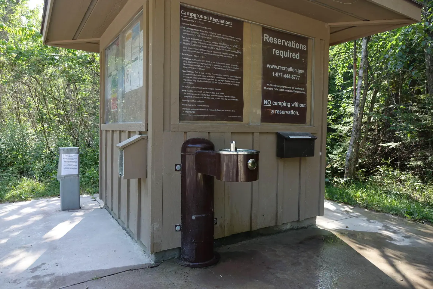
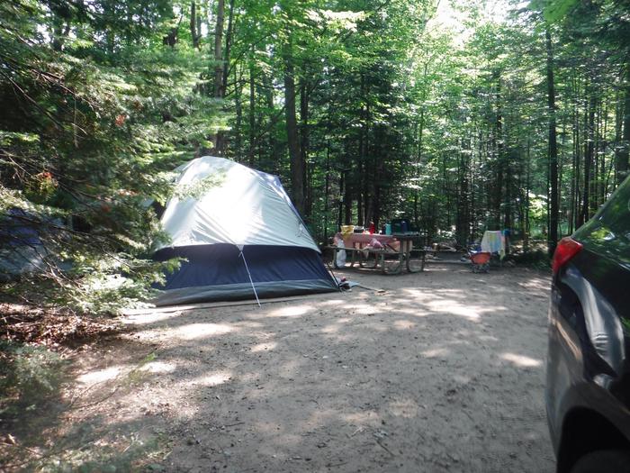
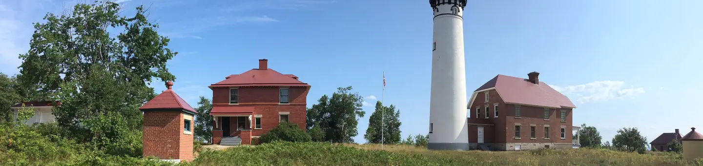
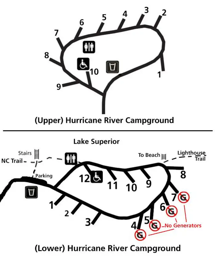
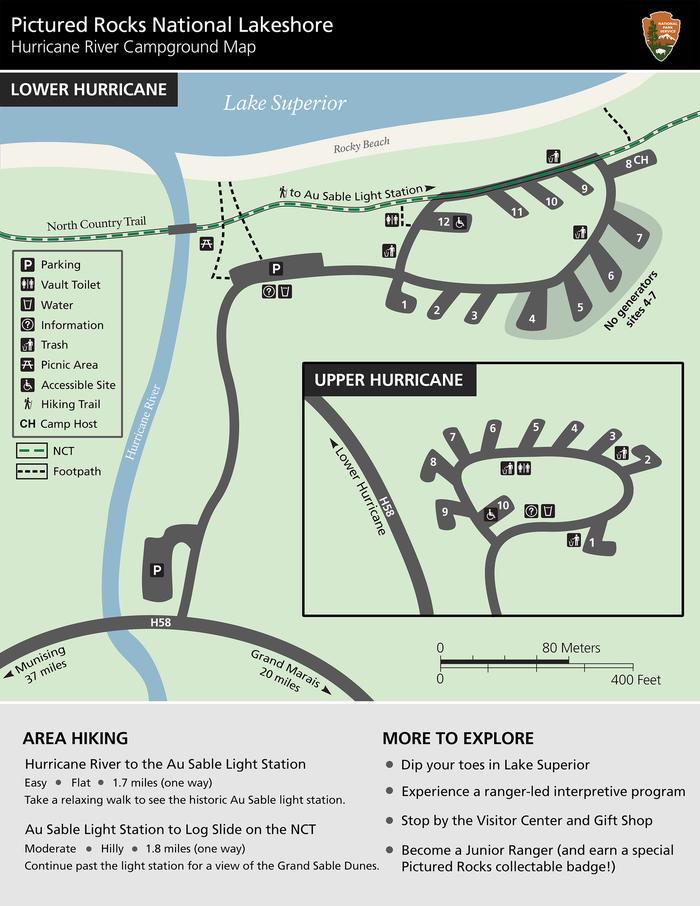
Overview Pictured Rocks National Lakeshore hugs the Lake Superior shoreline for more than 40 miles along Michigan's northern coast. Lake Superior is the largest, deepest, coldest, and most pristine of all the Great Lakes. Camping at Pictured Rocks National Lakeshore is a great way to relax and enjoy the beauties the lakeshore has to offer. Campgrounds are rustic, and do not provide electric or sewer hookups. Campers, trailers, and RVs are welcome, note there are generator free areas. Cell phone reception is limited, so unplug, unwind, and enjoy the serenity Pictured Rocks National Lakeshore Campgrounds has to offer. Hurricane River Campground is located 12 miles (19 km) west of Grand Marais and is divided into two separate sections off County Highway (H-) 58, Hurricane River Upper, and Hurricane River Lower. The Upper Campground has 10 sites and the Lower Campground has 12. Campground amenities include water, pit toilets, picnic tables, fire rings, and handicap accessible sites. Hurricane River Lower Campground is the trailhead for the Au Sable Light Station, which is a 3-mile (5 km) round trip stroll to the lighthouse with views of Lake Superior, Jacobsville Sandstone, and Shipwreck remains. Upper Hurricane River is tucked back in the woods with beautiful deciduous trees between sites allowing for the woodsy experience of Northern Michigan. Recreation Pictured Rocks National Lakeshore offers 100 miles (161 km) of hiking trails leading to waterfalls, beaches, forest wilderness, cultural sites, and breathtaking cliff-top views of Lake Superior. Whether you have only a few minutes, hours, or days to see a portion of the lakeshore, one of these hikes may be for you. Lake Superior's rugged shoreline invites boaters to explore the beautiful Pictured Rocks National Lakeshore with its miles of colorful sandstone cliffs and long stretches of sandy beaches. Peaceful inland lakes also invite boaters to linger in the northwoods. Check the marine weather forecast before venturi
Photos
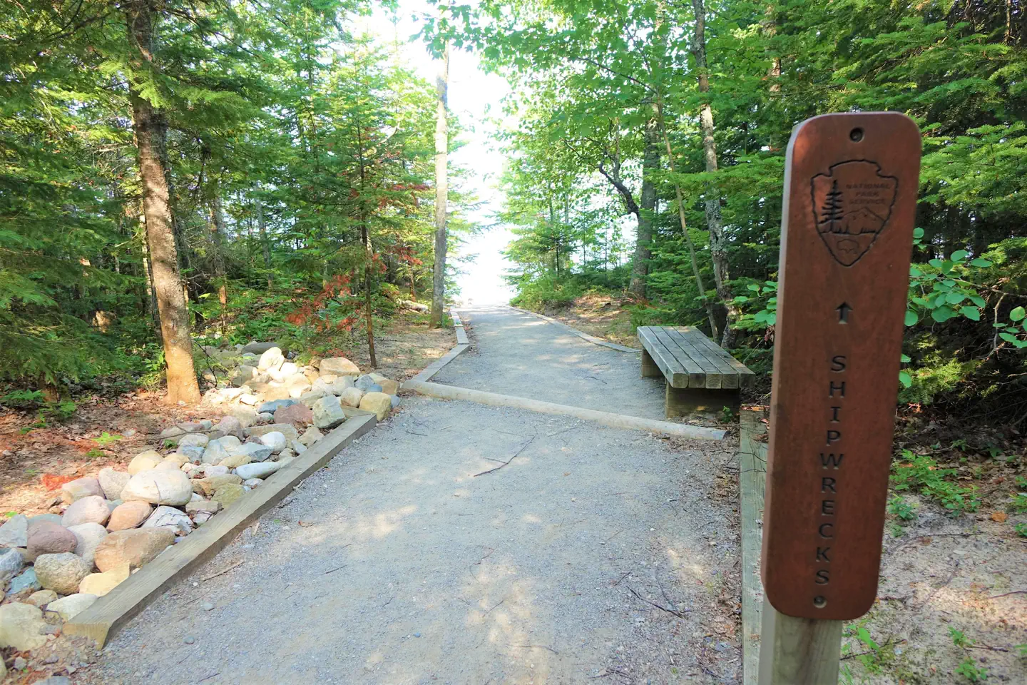
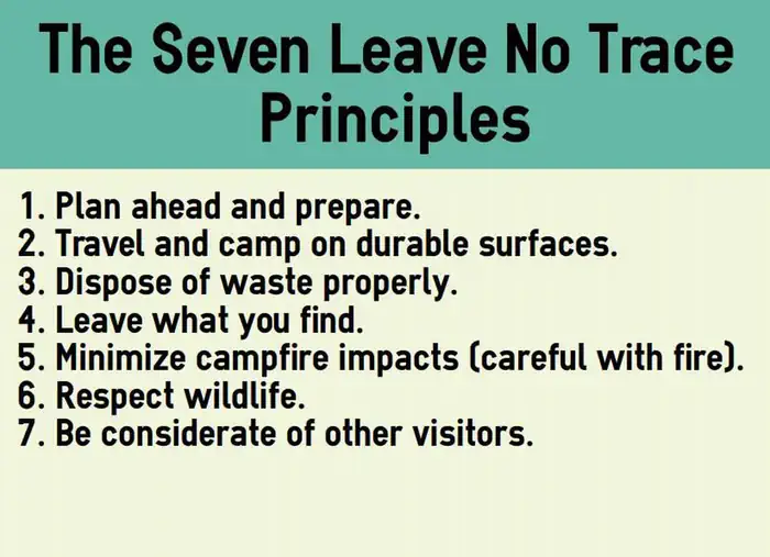
Vault Restrooms at Hurrican River Campground — NPS PhotoWater fountain/spout available at campground — NPS PhotoHurricane River Campground — NPS photoThe Au Sable Light Station accessible from the Hurricane River Campground. — NPS PhotoCampground Map — NPS DrawingHurricane River Campground Map — NPSPath to shipwrecks in Hurricane River Campground — NPS PhotoThe Seven Leave No Trace Principles. — NPS PhotoHurricane River flowing into Lake Superior — NPS Photo
How to Get There
Pictured Rocks NL is located on the south shore of Lake Superior in Michigan's Upper Peninsula, between the towns of Munising (west) and Grand Marais (east). Access the west side of the park via Michigan highways M-28 and M-94 to Munising. State highway M-77 leads to Grand Marais on the east side. Alger County Road H-58 runs parallel and through the park, providing access to spur roads that lead to scenic overlooks, trailheads, campgrounds, beaches, etc. Many roads are closed in winter due to snow.
Download your route in advance via Gaia, Caltopo, or OSM-based apps.
Recommendations adapt to the current forecast + trail stats. Use them as a starting point — local conditions, your experience, and the time of day you start all matter.
Plan Your Visit to Hurricane River Campground
Heading to Hurricane River Campground? A few things to know before you go:
Reservations: popular sites fill up fast — check Recreation.gov 6 months in advance
Fees: day-use and camping fees vary; check current rates on the official park page
Trash & pack-out: follow Leave No Trace principles
Wildlife: store food in bear boxes where provided; never feed wildlife
Weather: the 5-day forecast above is updated every 6 hours; verify just before you go
Frequently Asked Questions
Do I need a reservation for Hurricane River Campground?
No central reservation system listed for Hurricane River Campground. Check the official page (https://www.recreation.gov/camping/campgrounds/247603) for the latest entry policy and availability.
How many campsites are at Hurricane River Campground?
Hurricane River Campground has 22 campsites. Site amenities (hookups, vehicle limits, ADA access) vary — see the individual campsite pages for details.
How do I get to Hurricane River Campground?
Pictured Rocks NL is located on the south shore of Lake Superior in Michigan's Upper Peninsula, between the towns of Munising (west) and Grand Marais (east). Access the west side of the park via Michigan highways M-28 and M-94 to Munising. State highway M-77 leads to Grand Marais on the east side. Alger County Road H-58 runs parallel and through the park, providing access to spur roads that lead t…
How do I contact Hurricane River Campground?
You can reach the park at phone: 906 387-3700 OR 906 494-2660 or email: [email protected].