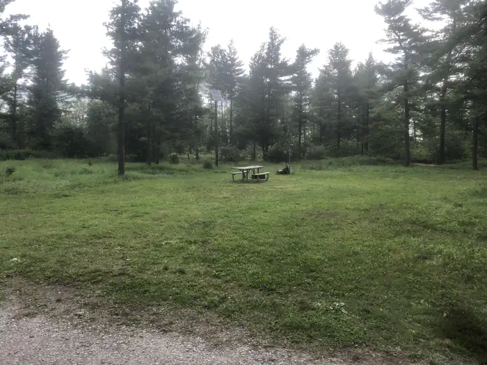
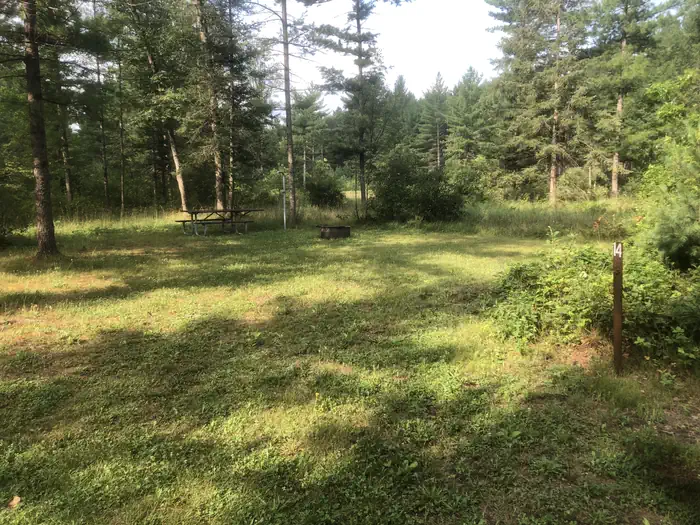
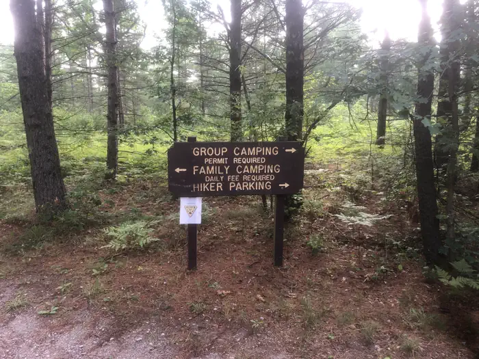
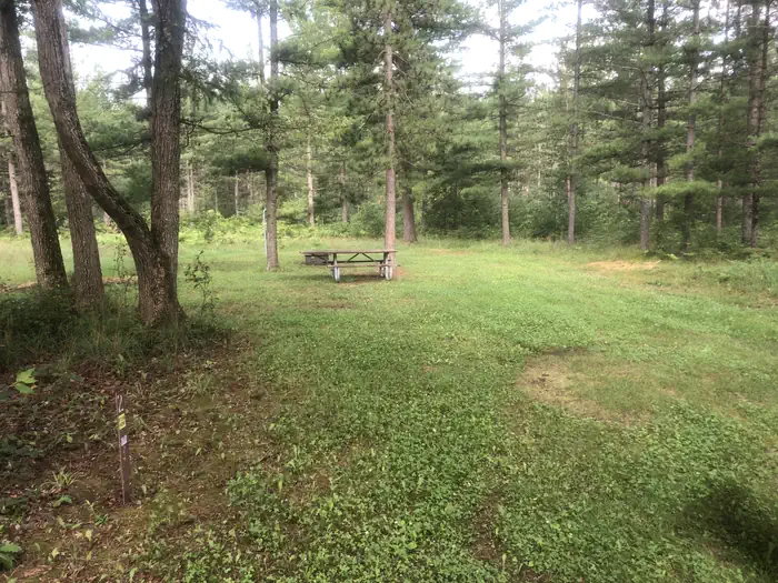
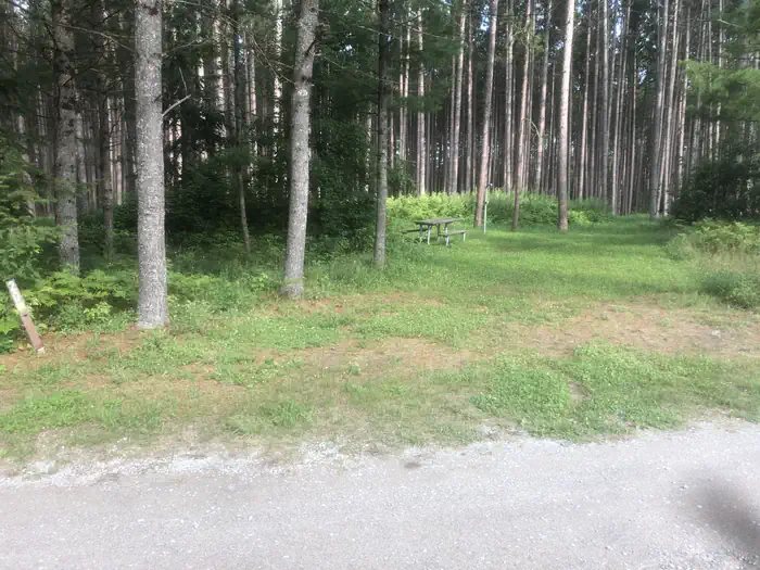
Overview South Branch Trail Campground Group Site is ideal for equestrian camping. The group area impresses with its beautiful scenery and convenient access to horseback riding and hiking along the 240-mile Michigan Shore-to-Shore Horseback Riding and Hiking Trail. Priority will be given to campers with horses, however…
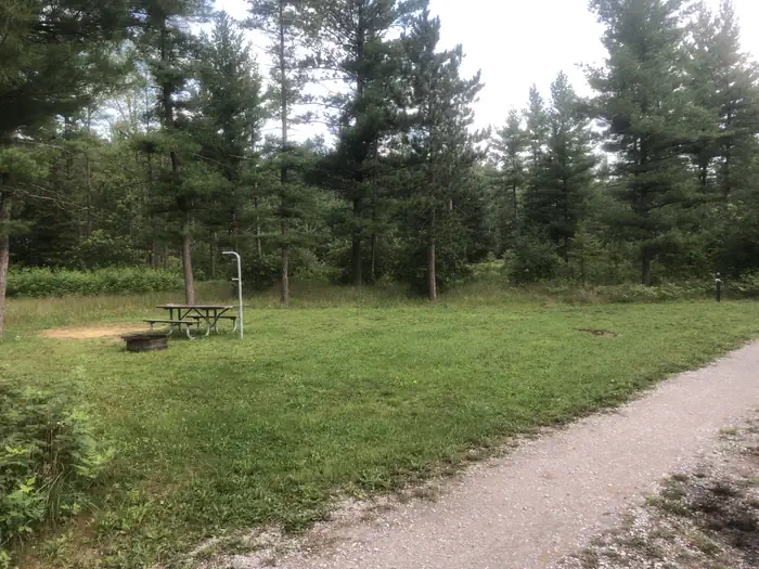
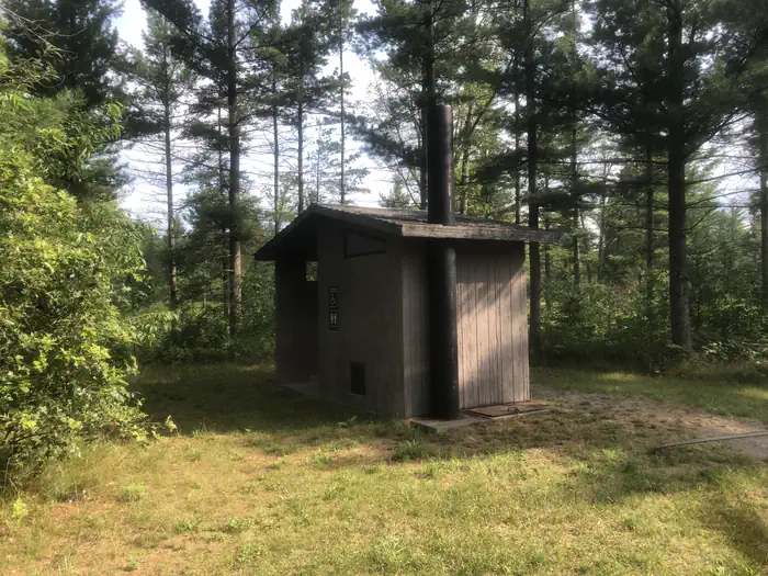
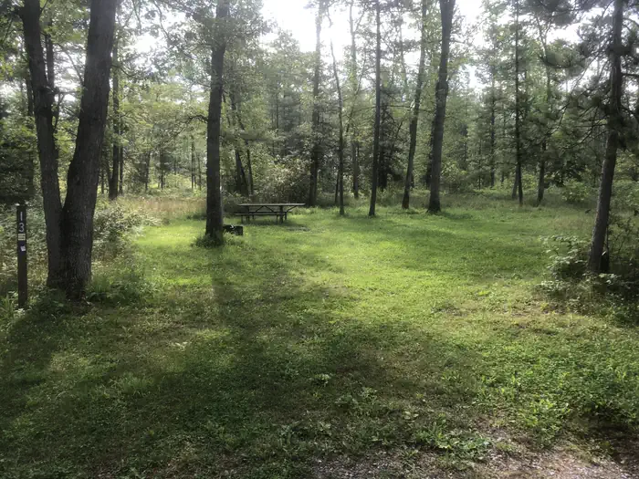
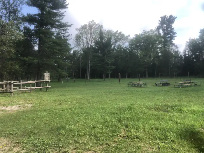
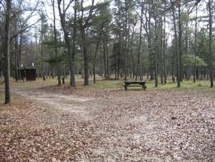
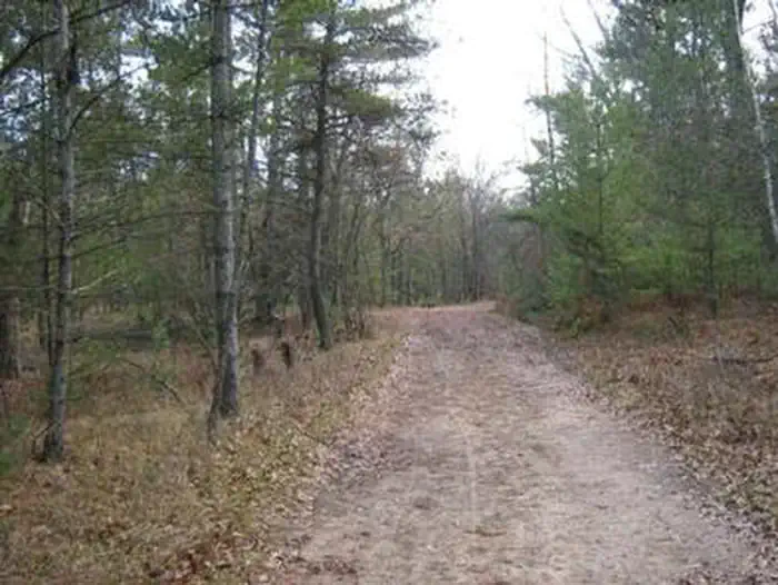
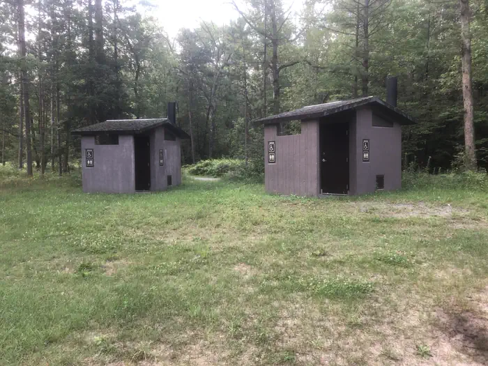
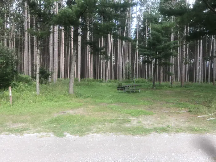
Overview South Branch Trail Campground Group Site is ideal for equestrian camping. The group area impresses with its beautiful scenery and convenient access to horseback riding and hiking along the 240-mile Michigan Shore-to-Shore Horseback Riding and Hiking Trail. Priority will be given to campers with horses, however everyone is welcome. The spacious site holds up to 250 campers and features a day-use horse parking area.Recreation Hike or horseback ride on the Michigan Shore-To-Shore Riding and Hiking Trail. The trail begins in the town of Empire near Lake Michigan, on the west side of Michigan and ends near Oscoda, Michigan on the Lake Huron eastern side of the state. The eastern part of the trail follows the historic AuSable River to its end in AuSable, just south of Oscoda.Facilities Facilities include at the South Branch Trail Campground Group Site include three sets of vault toilets, an electric water pump - which requires campers to furnish a 5,000 watt generator, one garbage bin and picket posts. Parking allows for up to 65 vehicles.Natural Features Campsites are situated in a stand of oak and pine at an elevation of 880 feet. The campground is adjacent to the South Branch River and is also not too far from the AuSable River. The magnificent Lake Huron is only a short drive east of the campground.
South Branch Trail Camp is located in northeast Michigan. If traveling from the south, go US-23 north to M-65. Stay on M-65 north through the city of Hale. 6 miles north of Hale turn north on Rollways Road. Travel 3 miles to the campground entrance.
Download your route in advance via Gaia, Caltopo, or OSM-based apps.
Recommendations adapt to the current forecast + trail stats. Use them as a starting point — local conditions, your experience, and the time of day you start all matter.
Plan Your Visit to SOUTH BRANCH TRAIL CAMP GROUP SITE
Heading to SOUTH BRANCH TRAIL CAMP GROUP SITE? A few things to know before you go:
Reservations: popular sites fill up fast — check Recreation.gov 6 months in advance
Fees: day-use and camping fees vary; check current rates on the official park page
Trash & pack-out: follow Leave No Trace principles
Wildlife: store food in bear boxes where provided; never feed wildlife
Weather: the 5-day forecast above is updated every 6 hours; verify just before you go
Frequently Asked Questions
Do I need a reservation for SOUTH BRANCH TRAIL CAMP GROUP SITE?
No central reservation system listed for SOUTH BRANCH TRAIL CAMP GROUP SITE. Check the official page (https://www.recreation.gov/camping/campgrounds/234679) for the latest entry policy and availability.
How do I get to SOUTH BRANCH TRAIL CAMP GROUP SITE?
South Branch Trail Camp is located in northeast Michigan. If traveling from the south, go US-23 north to M-65. Stay on M-65 north through the city of Hale. 6 miles north of Hale turn north on Rollways Road. Travel 3 miles to the campground entrance.
How do I contact SOUTH BRANCH TRAIL CAMP GROUP SITE?