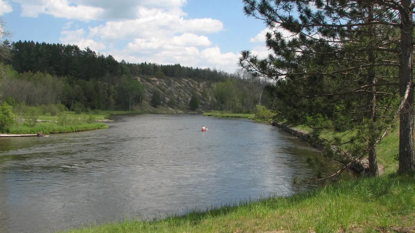
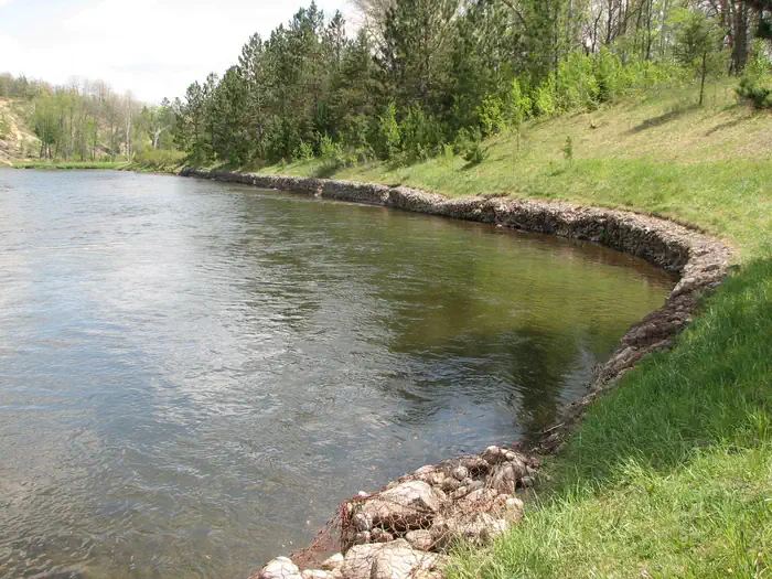
Overview Gabions Campground offers camping on the National Scenic stretch of the Au Sable River. Natural springs are common on this section of the river, including a small one at the river's edge near the gabions. Gabions are rock-filled wire baskets that are placed along the riverbank to help reduce erosion. The Shore…
Overview Gabions Campground offers camping on the National Scenic stretch of the Au Sable River. Natural springs are common on this section of the river, including a small one at the river's edge near the gabions. Gabions are rock-filled wire baskets that are placed along the riverbank to help reduce erosion. The Shore-to-Shore Trail passes near the campground; however, Gabions is not a designated horse camp and horse camping is not permitted. Wildlife and waterfowl viewing opportunities exist; please respect wildlife and observe from a distance. Recreation Water Activites: Anglers can boat, wade, and fish from shore. Fish species found in the Au Sable River include bass, pike, brown trout, walleye, perch, sunfish, steelhead, and salmon. The water flows at a speed of 2 mph. The Au Sable River provides opportunities for non-motorized boating using watercraft such as canoes, kayaks, and rafts. 4001 Canoe Access is a short drive and provides developed access to the Au Sable river. Alcona Canoe Rental in nearby Glennie and Hinchman's Acres Resort in Mio provide watercraft rentals for canoes, kayaks, and tubes. Hiking: Visitors can walk the Shore-to-Shore Horse Trail which passes through the campground. This trail is open to hiking and horseback riding. Hikers should be aware this is not a loop trail. Additionally, hikers can drive southwest on Au Sable River road to reach the Ruffed Grouse trail head for a short leasurely 0.6 mile loop through the forest. OHV Riding: An OHV trail utilizes Au Sable River road at the mouth of the campground road. Taking the trail to the east will connect riders to the Alcona ATV Trail and taking the trail to the west will connect riders to to the Mack Lake Motorized Trail System and the Bull Gap Hill Climb Area . Additionally, a large majority of Forest Service roads are open to OHV use. Please refer to the motor vehicle use map (MVUM) to understand which roads are open to OHV use. Facilities Amenities available include a vault toilet and
Photos
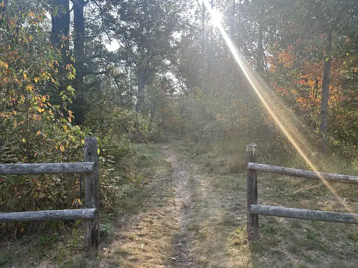
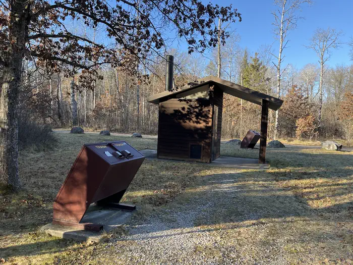
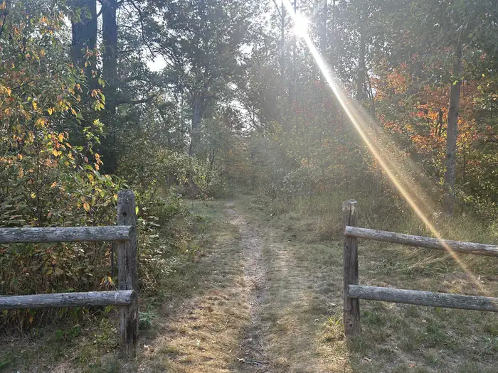
A photo of trail to Ausable River at Gabions Campground — Alexandra ElickA photo of facility Gabions Campground with vault toilet — Autumn ClarkA photo of trail to Ausable River at Gabions Campground — Alexandra ElickThe Gabions Campground namesake gabions along the Au Sable River — USFS
How to Get There
From the South on M33: Turn East onto Curtisville Road and stay on it for approximately 15.5 miles. (Note the name of the road will change to: Au Sable Valley River Rd and then Au Sable River Rd.) Turn Left (north) onto Brodie Road. Follow the signs to the campground. From Mio via McKinley Road: Follow McKinley Road/Au Sable Road approximately 20 miles. Turn right on 4001/Au Sable River Road and drive 3/4 mile. Turn Right (north) onto Brodie Road.
Download your route in advance via Gaia, Caltopo, or OSM-based apps.
Recommendations adapt to the current forecast + trail stats. Use them as a starting point — local conditions, your experience, and the time of day you start all matter.
Plan Your Visit to Gabions Campground
Heading to Gabions Campground? A few things to know before you go:
Reservations: popular sites fill up fast — check Recreation.gov 6 months in advance
Fees: day-use and camping fees vary; check current rates on the official park page
Trash & pack-out: follow Leave No Trace principles
Wildlife: store food in bear boxes where provided; never feed wildlife
Weather: the 5-day forecast above is updated every 6 hours; verify just before you go
Frequently Asked Questions
Do I need a reservation for Gabions Campground?
No central reservation system listed for Gabions Campground. Check the official page (https://www.recreation.gov/camping/campgrounds/10214365) for the latest entry policy and availability.
How do I get to Gabions Campground?
From the South on M33: Turn East onto Curtisville Road and stay on it for approximately 15.5 miles. (Note the name of the road will change to: Au Sable Valley River Rd and then Au Sable River Rd.) Turn Left (north) onto Brodie Road. Follow the signs to the campground. From Mio via McKinley Road: Follow McKinley Road/Au Sable Road approximately 20 miles. Turn right on 4001/Au Sable River Road and d…
How do I contact Gabions Campground?
You can reach the park at phone: 989-826-3252 or email: [email protected].