Harrietta, Michigan · Manistee County · Campground
Overview The Upper Manistee dispersed campsites are primitive campsites on the Manistee River Backwaters of Tippy Dam Pond, located along the banks of the Manistee River between Tippy Dam and Hodenpyl Dam. The Government Landing location includes 7 sites, in which, 5 are located on the water and 2 sites are on higher g…
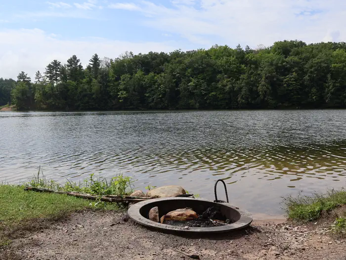
Overview The Upper Manistee dispersed campsites are primitive campsites on the Manistee River Backwaters of Tippy Dam Pond, located along the banks of the Manistee River between Tippy Dam and Hodenpyl Dam. The Government Landing location includes 7 sites, in which, 5 are located on the water and 2 sites are on higher ground overlooking the water. There are 2 sites located on the water that are walk in only. The Red Bridge River Access offers 4 sites that are walk in only and allow easy access to the Manistee River. These sites are very popular and are by reservation only Memorial Day Weekend through Labor Day Weekend. Recreation The Upper Manistee River Area offers motorized and non-motorized boating opportunities, and fishing is excellent on the Manistee River. Wildlife viewing may include encounters with a variety of species such as bald eagles, loons, trumpeter swans, black bears, white tailed deer, river otters, and turtles. Many of these species are secretive and sensitive to disturbances, so please view them from a distance. Hiking opportunities in the area are numerous with the North Country Trail and the Manistee River Trail, as the top draw to the area. Both trails offer excellent views of the forested terrain and the Manistee River. Facilities Each site is designed for single camp unit use with a maximum of 8 people and 2 vehicle per site. Sites include a picnic table, fire ring, and a lantern hook. Vault toilets are located with in walking distance of each site. A boat ramp is located at both Government Landing and Red Bridge. No drinking water is available at Government Landing, but drinking water is available at Red Bridge. Natural Features The Upper Manistee River Area is one of the more scenic areas of the Manistee National Forest and the outdoor enthusiast will enjoy a rustic camping experience enhanced by the scenic river, peace and solitude, and abundant wildlife. The Manistee River with its steep slopes and sharp turns meanders through native hard
Photos
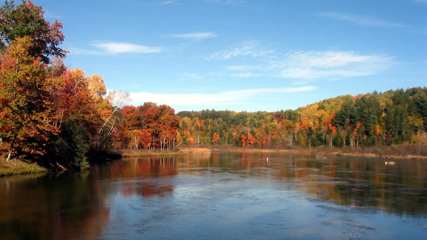
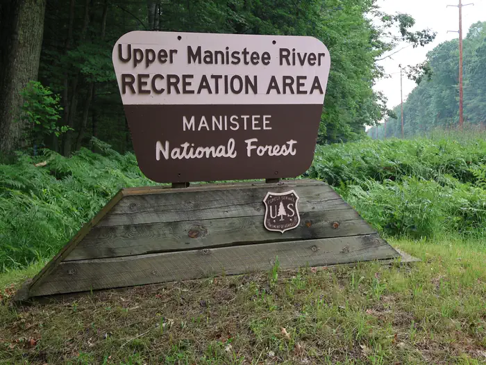
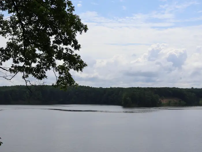
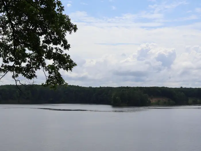
Upper Manistee River Recreation Area Portal Sign — USDA Forest ServiceView of Manistee River from Red Bridge — USDA Forest ServiceUpper Manistee Backwaters Vista — USDA Forest ServiceView of Manistee River Backwaters — USDA Forest ServiceCampsite on Manistee River Backwaters — USDA Forest Service
How to Get There
For All Campsites: From the intersection of M55 and M37, head west on M-55 for 2.7 miles Turn right onto N Warfield Rd, then travel north for 5.1 miles Turn left onto N Coates Hwy and travel west until you cross the bridge over the Manistee River Red Bridge campsites will be on the left For Government Landing Campsites: Continue west on N Coates Hwy toward Upper River Rd 0.6 miles Turn left onto River Rd/Upper River Rd and head south for 1.3 miles Government Landing campsites will be on the left
Download your route in advance via Gaia, Caltopo, or OSM-based apps.
Recommendations adapt to the current forecast + trail stats. Use them as a starting point — local conditions, your experience, and the time of day you start all matter.
Plan Your Visit to Upper Manistee River Backcountry Campsites
Heading to Upper Manistee River Backcountry Campsites? A few things to know before you go:
Reservations: popular sites fill up fast — check Recreation.gov 6 months in advance
Fees: day-use and camping fees vary; check current rates on the official park page
Trash & pack-out: follow Leave No Trace principles
Wildlife: store food in bear boxes where provided; never feed wildlife
Weather: the 5-day forecast above is updated every 6 hours; verify just before you go
Frequently Asked Questions
Do I need a reservation for Upper Manistee River Backcountry Campsites?
No central reservation system listed for Upper Manistee River Backcountry Campsites. Check the official page (https://www.recreation.gov/camping/campgrounds/10049020) for the latest entry policy and availability.
How many campsites are at Upper Manistee River Backcountry Campsites?
Upper Manistee River Backcountry Campsites has 11 campsites. Site amenities (hookups, vehicle limits, ADA access) vary — see the individual campsite pages for details.
How do I get to Upper Manistee River Backcountry Campsites?
For All Campsites: From the intersection of M55 and M37, head west on M-55 for 2.7 miles Turn right onto N Warfield Rd, then travel north for 5.1 miles Turn left onto N Coates Hwy and travel west until you cross the bridge over the Manistee River Red Bridge campsites will be on the left For Government Landing Campsites: Continue west on N Coates Hwy toward Upper River Rd 0.6 miles Turn left onto R…
How do I contact Upper Manistee River Backcountry Campsites?
You can reach the park at phone: 231-723-2211 or email: [email protected].