Overview Planning a trip to the Lake Ottawa Campground? Watch for Alerts at the top of the page for any Alerts regarding this facility. Lake Ottawa Campground is in a beautiful forested northwoods setting located 5 miles southwest of Iron River, MI, on the Iron River Ranger District. Recreation Located adjacent to the …
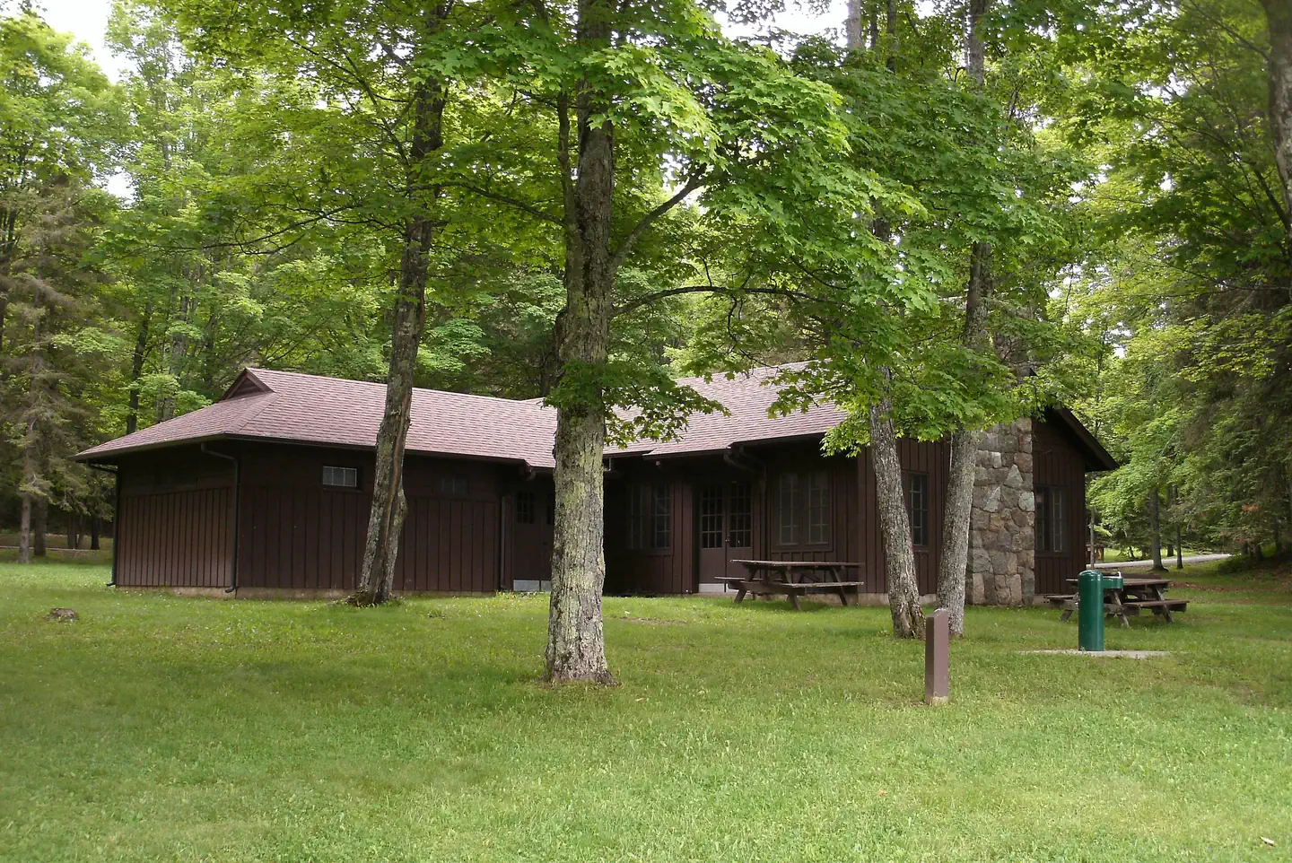
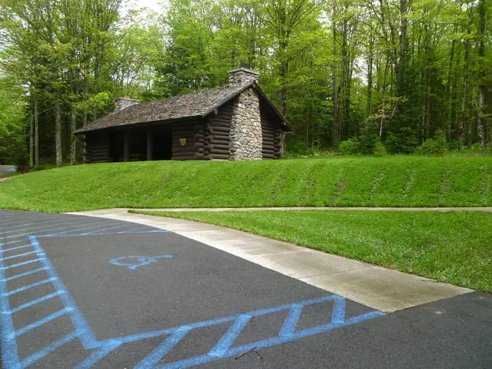
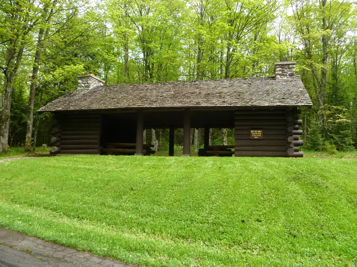
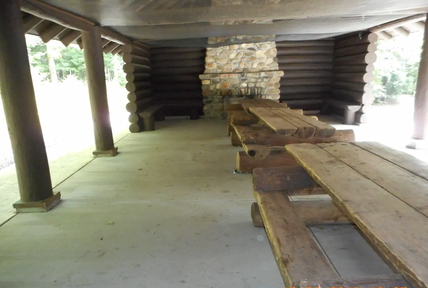
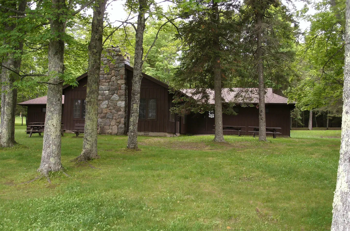
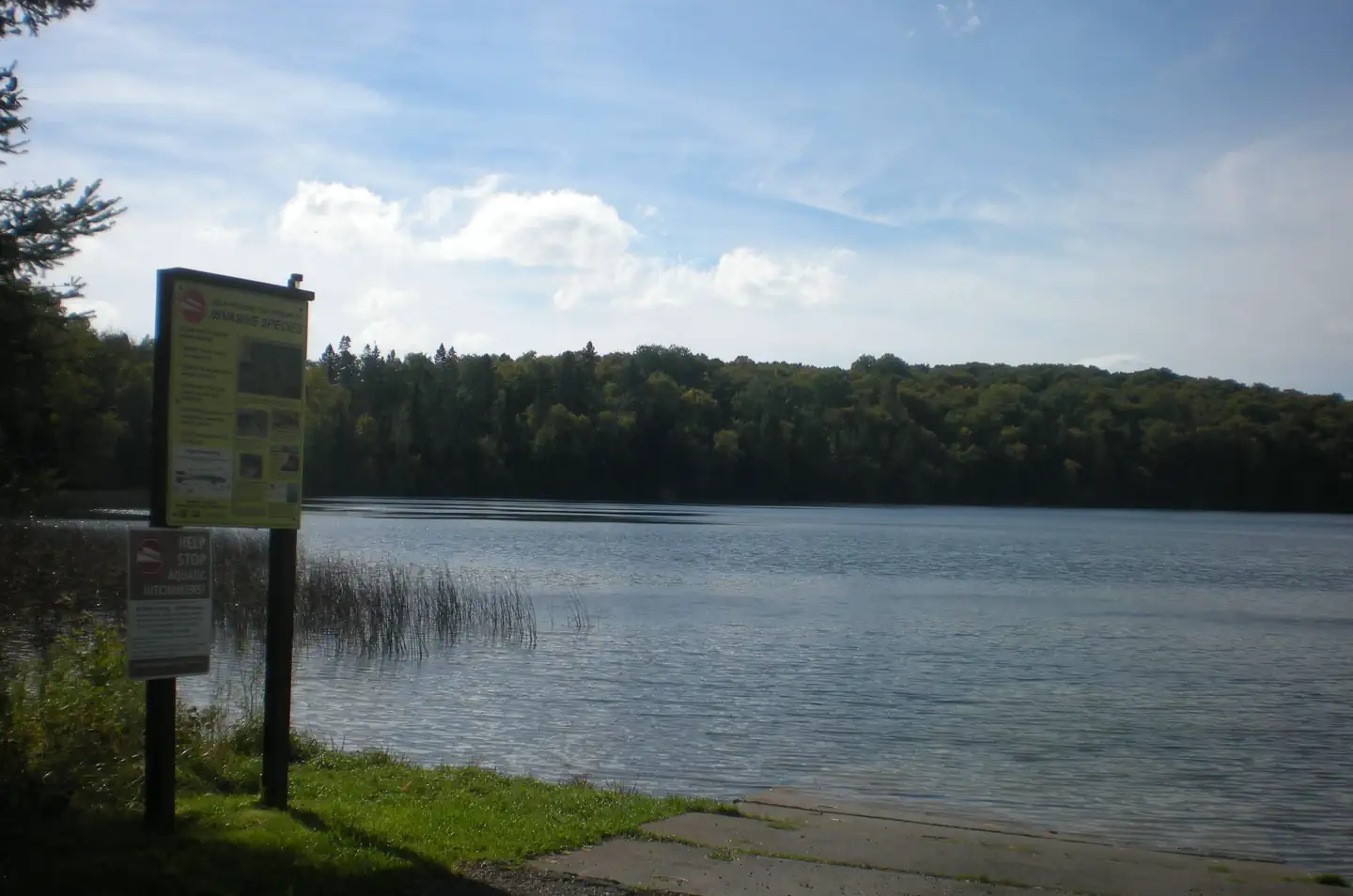
Overview Planning a trip to the Lake Ottawa Campground? Watch for Alerts at the top of the page for any Alerts regarding this facility. Lake Ottawa Campground is in a beautiful forested northwoods setting located 5 miles southwest of Iron River, MI, on the Iron River Ranger District. Recreation Located adjacent to the Campground is Lake Ottawa, a deep cold water lake that provides fishermen with a good variety of game fish. There is a boat ramp with ample parking for trailers. Ge-Che Trail - Length is approximately 9 miles on a dirt trail. This trail provides scenery of primarily hardwood forest. The trail can be accessed from Lake Ottawa boat landing, and from within the campground. Lake Ottawa Recreation Area day use area provides indoor facilities for a group picnic, and a large outdoor picnic area complete with picnic tables and grills. The area is large enough to provide plenty of space for all. Also located in the same area is an athletic field. The day use building provides indoor seating for eating or parties. The building has a fireplace, electricity, and flush toilets. Facilities Lake Ottawa Campground is 95% surrounded by National Forest System Land and offers 32 campsites, a picnic shelter with two stone fireplaces and original log picnic tables, and two log toilet buildings with flush toilets. A pressurized water system and RV dump station are located in the campground. Adjacent to the campground, in the day use area, is a CCC era recreation building, with flush toilets, swimming beach, playing field, picnic areas and boat launch. Nearby Attractions Stateline-Mile Post Zero Trail - Scenery is hardwood, forested with two destination points on the Brule River. The trail is not a loop, it is a relatively flat dirt trail. The length of the trial is approximately 4/10 of a mile and takes you to the historic Stateline Mile Post Zero location indicating the border between Michgian and Wisconsin. The combination of topography and thousands of miles of rivers an
Photos
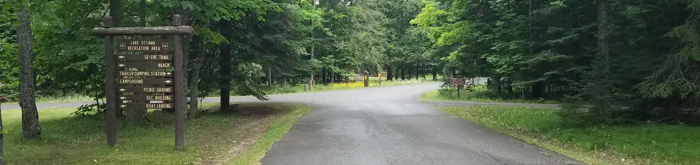
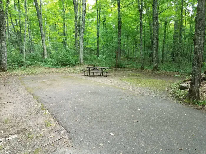
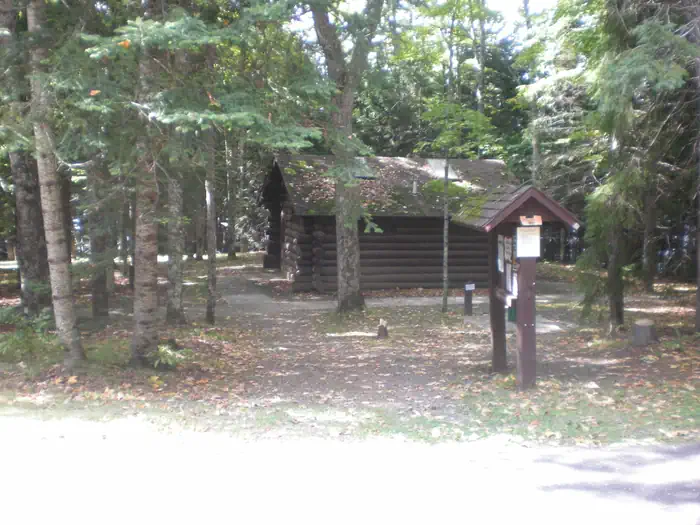
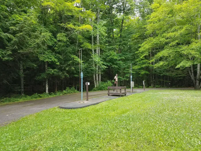
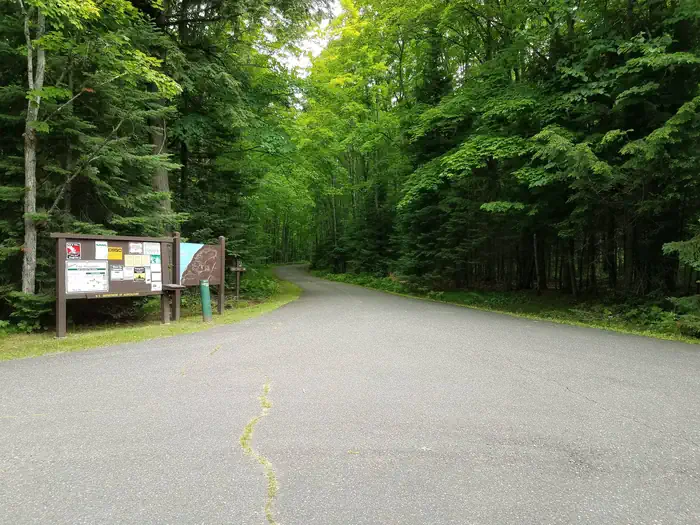
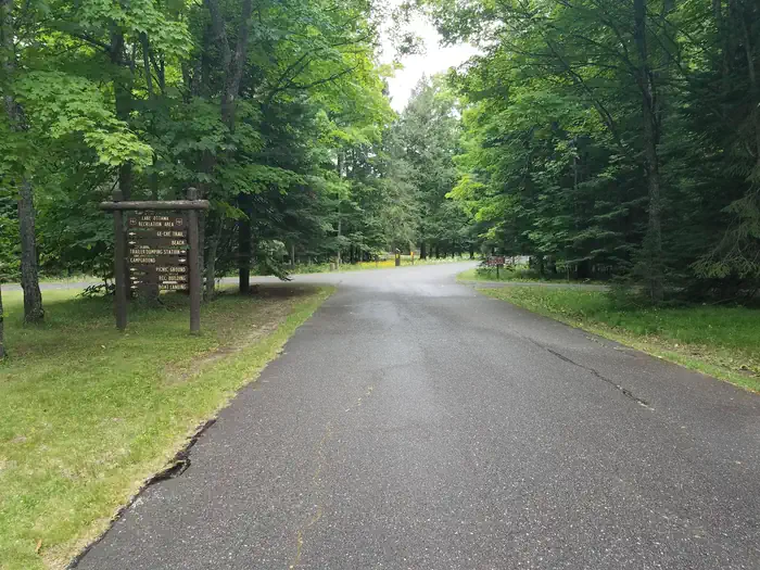
Lake Ottawa Recreation Area day use building — USDA Forest ServiceLake Ottawa Campground campsite 10 — USDA Forest ServiceLake Ottawa Campground Picnic Shelter and Accessible Parking Spot — USDA Forest ServiceLake Ottawa Campground restroom building — Northwoods Property Management & Maintenance, LLCLake Ottawa Campground RV dump station — USDA Forest ServiceLake Ottawa Campground Picnic Shelter — USDA Forest ServiceInside of Lake Ottawa Campground Picnic Shelter — USDA Forest ServiceFront of Lake Ottawa Recreation Area day use building — USDA Forest ServiceLake Ottawa boat landing — Northwoods Property Management & Maintenance, LLCLake Ottawa Campground entrance bulletin board and driveway — USDA Forest ServiceLake Ottawa Campground entrance — USDA Forest Service
How to Get There
From Iron River, Mi., travel west on US 2, turn south on M 73, travel approximately 3/4 mile, turn west on Lake Ottawa Road and travel approximately 4 miles to the campground. From Watersmeet, Mi., travel 28 miles east on US 2, turn south on M 73, travel approximately 3/4 mile, turn west on Lake Ottawa Road and travel approximately 4 miles to the campground.
Download your route in advance via Gaia, Caltopo, or OSM-based apps.
Recommendations adapt to the current forecast + trail stats. Use them as a starting point — local conditions, your experience, and the time of day you start all matter.
Plan Your Visit to Lake Ottawa Campground
Heading to Lake Ottawa Campground? A few things to know before you go:
Reservations: popular sites fill up fast — check Recreation.gov 6 months in advance
Fees: day-use and camping fees vary; check current rates on the official park page
Trash & pack-out: follow Leave No Trace principles
Wildlife: store food in bear boxes where provided; never feed wildlife
Weather: the 5-day forecast above is updated every 6 hours; verify just before you go
Frequently Asked Questions
Do I need a reservation for Lake Ottawa Campground?
No central reservation system listed for Lake Ottawa Campground. Check the official page (https://www.recreation.gov/camping/campgrounds/10047120) for the latest entry policy and availability.
How many campsites are at Lake Ottawa Campground?
Lake Ottawa Campground has 32 campsites. Site amenities (hookups, vehicle limits, ADA access) vary — see the individual campsite pages for details.
How do I get to Lake Ottawa Campground?
From Iron River, Mi., travel west on US 2, turn south on M 73, travel approximately 3/4 mile, turn west on Lake Ottawa Road and travel approximately 4 miles to the campground. From Watersmeet, Mi., travel 28 miles east on US 2, turn south on M 73, travel approximately 3/4 mile, turn west on Lake Ottawa Road and travel approximately 4 miles to the campground.
How do I contact Lake Ottawa Campground?
You can reach the park at phone: 906-396-5428 or email: [email protected].