About Monomoy Wilderness
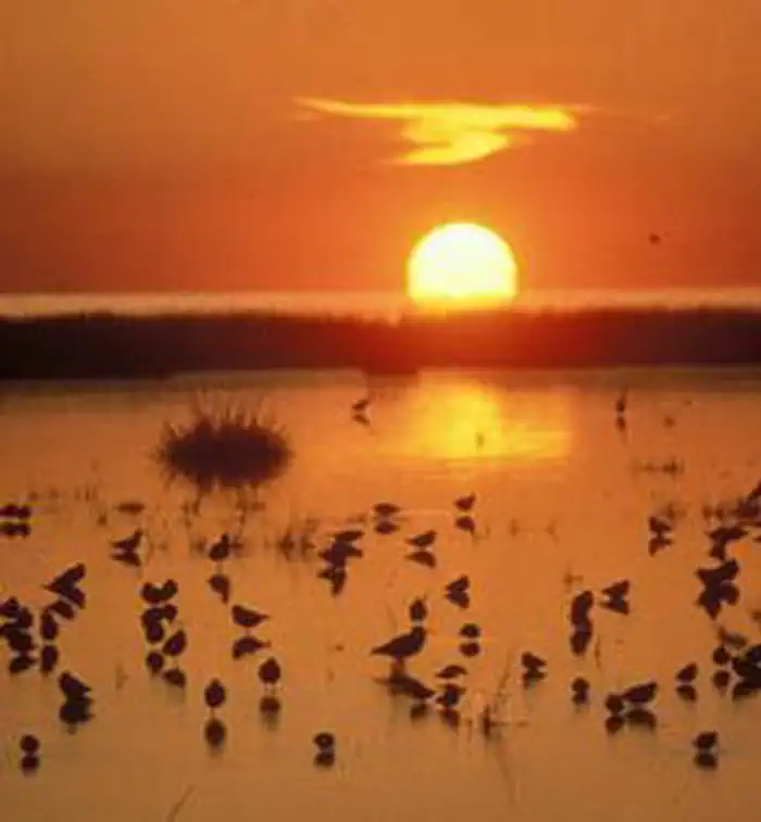
The Monomoy Wilderness now contains a total of 3,244 acres and is managed by the Fish & Wildlife Service. All of the Wilderness is in the state of Massachusetts. In 1970 the Monomoy Wilderness became part of the now over 110 million acre National Wilderness Preservation System. As recently as 1958, this area was an extension of the mainland, the eroding shoreline at the elbow of Cape Cod. Severe winter storms isolated Monomoy Point from the mainland and, 20 years later, separated North Monomoy Island from South Monomoy Island. Ten miles of surf-beaten dunes on the eastern shore of the islands, still-shifting sands that sometimes reach 100 feet in height, give way to salt marsh and then to mudflats on the western shore. The ecosystem is a perfect habitat for migratory birds. Dubbed a sanctuary for wildlife in 1944, most of 7,604-acre Monomoy National Wildlife Refuge has been designated Wilderness: all of the north island and all but two tracts on the south island. The mainland portion of the refuge remains non-Wilderness. People are known to have lived here from 1711 on, and a lighthouse complex on the south island attests to their presence. Among the migratory birds you may see are grebes, shearwaters, petrels, gannets, bitterns, egrets, herons, swans, geese, ducks, and the endangered piping plover and roseate tern. Hundreds of gray and harbor seals winter along the coastline. Boaters swarm the shores in summer. Camping, fires, and pets are not permitted.
How to Get There
Take U.S. Route 6 East to State Route 137 South, to State Route 28 East. Take Route 28 East to the rotary. Take the Main Street exit, up the hill to Shore Road. Turn right and proceed past Chatham Lighthouse. Bear left after lighthouse onto Morris Island Road. Follow Morris Island Road to signs for the refuge on the left, Wikis Way. Limited parking is available at the visitor center.
Driving directions (Google Maps) →Plan Your Visit to Monomoy Wilderness
Heading to Monomoy Wilderness? A few things to know before you go:
- Reservations: popular sites fill up fast — check Recreation.gov 6 months in advance
- Fees: day-use and camping fees vary; check current rates on the official park page
- Trash & pack-out: follow Leave No Trace principles
- Wildlife: store food in bear boxes where provided; never feed wildlife
- Weather: the 5-day forecast above is updated every 6 hours; verify just before you go
Frequently Asked Questions
Do I need a reservation for Monomoy Wilderness?
No central reservation system listed for Monomoy Wilderness. Check the official page (https://www.recreation.gov/camping/campgrounds/12821) for the latest entry policy and availability.
How do I get to Monomoy Wilderness?
Take U.S. Route 6 East to State Route 137 South, to State Route 28 East. Take Route 28 East to the rotary. Take the Main Street exit, up the hill to Shore Road. Turn right and proceed past Chatham Lighthouse. Bear left after lighthouse onto Morris Island Road. Follow Morris Island Road to signs for the refuge on the left, Wikis Way. Limited parking is available at the visitor center.
How do I contact Monomoy Wilderness?
You can reach the park at phone: (508)945-0594 or email: [email protected].
References & Official Resources