Sabillasville, Maryland · Frederick County · Campground
Overview The Adirondack Shelters, located near the northern most point of Catoctin Mountain Park, provide a destination for true nature immersion and an alternative to drive-up camping. A moderate three-mile uphill hike over rocky but generally gently rolling terrain leads to the three-sided shelters similar to those f…
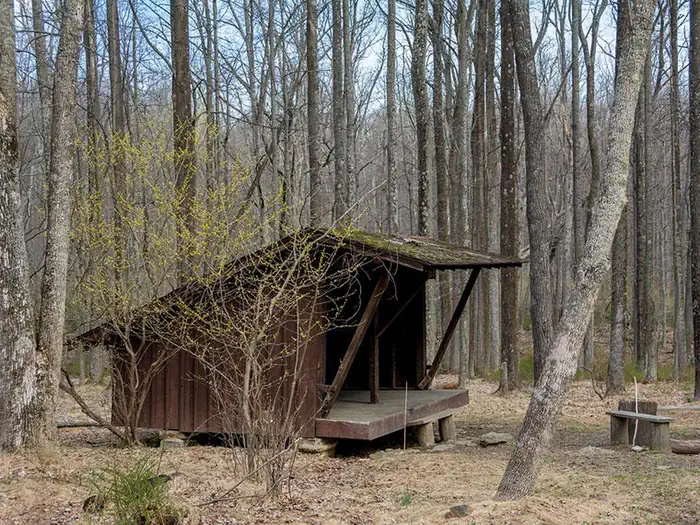
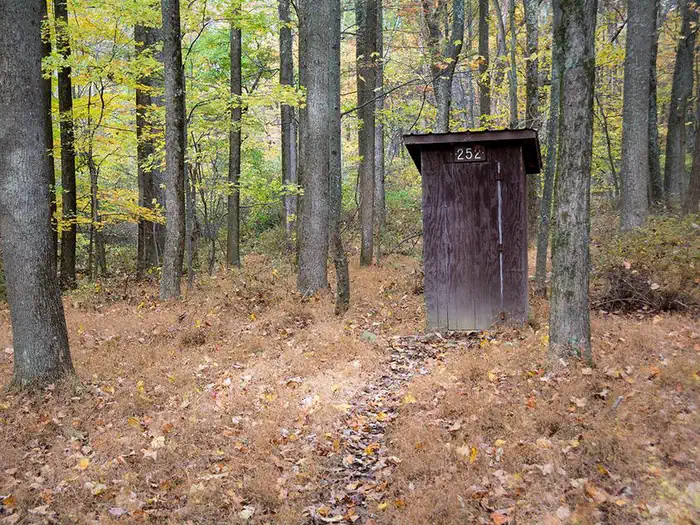
Overview The Adirondack Shelters, located near the northern most point of Catoctin Mountain Park, provide a destination for true nature immersion and an alternative to drive-up camping. A moderate three-mile uphill hike over rocky but generally gently rolling terrain leads to the three-sided shelters similar to those found on the Appalachian Trail. Please plan to pack out everything you bring to the site. At Catoctin Mountain Park, the beauty and solitude of nearly 6,000 acres (2428 ha) of mature Eastern Hardwood Forest beckon visitors in need of an escape. Recreation The shelters are for backcountry hikers looking for a remote getaway. Watching birds (aka "birding") is a popular form of wildlife observation. Catoctin offers a 25-mile (40 km) hiking trail system, fishing, picnicking, and frontcountry cabins and campgrounds in addition to the more primitive Adirondack shelters.Facilities This is a rustic backcountry area with no vehicle access or potable water. There is one pit toilet shared between the two shelters. Campers must carry adequate drinking water and supplies and pack trash out at the conclusion of their stay. The two shelters are several hundred feet apart, making them close enough for groups to use both, but far enough away to offer privacy. The sites are available year-round and can accommodate five campers. Tents or temporary structures are not permitted inside the shelters or surrounding area. Campfire rings are provided. Natural Features Located about 60 miles (96.5 km) from Washington, DC and Baltimore, Maryland, Catoctin Mountain Park lies within the mountainous Blue Ridge Province of north-central Maryland. Scenic overlooks extend across the Monocacy Valley. Nearby Attractions Head to Wolf Rock for scenic vistas and thrilling rock climbing and rappelling. Or tour historic Camp Misty Mount, which is listed in the National Register of Historic Places.
Photos
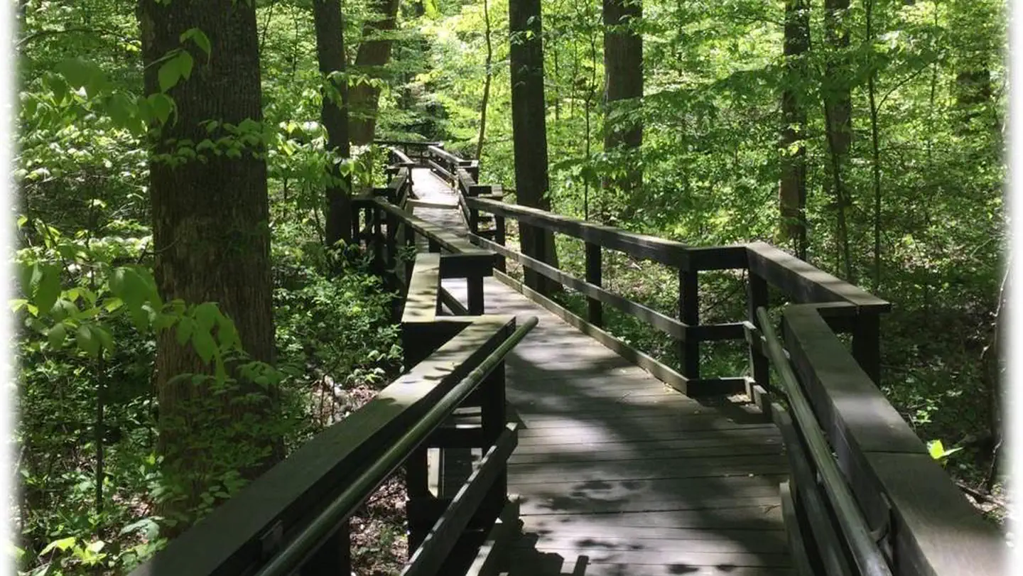
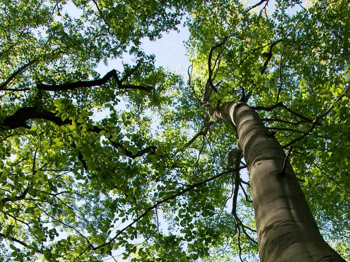
Side view of 3-sided wooden Adirondack shelter surrounded by trees in early spring. — NPS Photo - John ZukeThree-sided wooden Adirondack shelter, 2 wooden benches and fire circle. Surrounded by trees with no leaves. — NPS PhotoA tree branch with orange and yellow leaves crosses in front of trunks and green leaves in the background. — NPS Photo (John Zuke)Small enclosed wooden pit toilet building. Surrounded by trees in late fall. — NPS Photo - John ZukeA photo of a blue sky taken from beneath the branches and leaves of an American Beech tree — NPS Photo (Sam Sheline)
How to Get There
Directions to the trailhead parking at Camp Round Meadow: From Thurmont MD, take Route 77 west 5 miles (8 km) to Foxville Road. Turn right and follow signs to Camp Round Meadow parking area.You cannot drive to the shelters. The hike is a minimum of 3 miles (4.8 km).GPS coordinates for Shelter #1 are 39° 40' 37.8001" N 77° 29' 3.8000" WShelter #2 is nearby (visible from) Shelter #1.Hikers: protect park resources by using the trail system when accessing the shelters or other park features. Obtain trail maps at the park Visitor Center or download them from the Catoctin Mountain Park Hiking web page. Hilly terrain and the forest canopy can prevent satellite signals from reaching your unit increasing the importance of a back-up strategy.
Download your route in advance via Gaia, Caltopo, or OSM-based apps.
Recommendations adapt to the current forecast + trail stats. Use them as a starting point — local conditions, your experience, and the time of day you start all matter.
Plan Your Visit to Adirondack Shelters
Heading to Adirondack Shelters? A few things to know before you go:
Reservations: popular sites fill up fast — check Recreation.gov 6 months in advance
Fees: day-use and camping fees vary; check current rates on the official park page
Trash & pack-out: follow Leave No Trace principles
Wildlife: store food in bear boxes where provided; never feed wildlife
Weather: the 5-day forecast above is updated every 6 hours; verify just before you go
Frequently Asked Questions
Do I need a reservation for Adirondack Shelters?
No central reservation system listed for Adirondack Shelters. Check the official page (https://www.recreation.gov/camping/campgrounds/233321) for the latest entry policy and availability.
How do I get to Adirondack Shelters?
Directions to the trailhead parking at Camp Round Meadow: From Thurmont MD, take Route 77 west 5 miles (8 km) to Foxville Road. Turn right and follow signs to Camp Round Meadow parking area.You cannot drive to the shelters. The hike is a minimum of 3 miles (4.8 km).GPS coordinates for Shelter #1 are 39° 40' 37.8001" N 77° 29' 3.8000" WShelter #2 is nearby (visible from) Shelter #1.Hikers: protect …