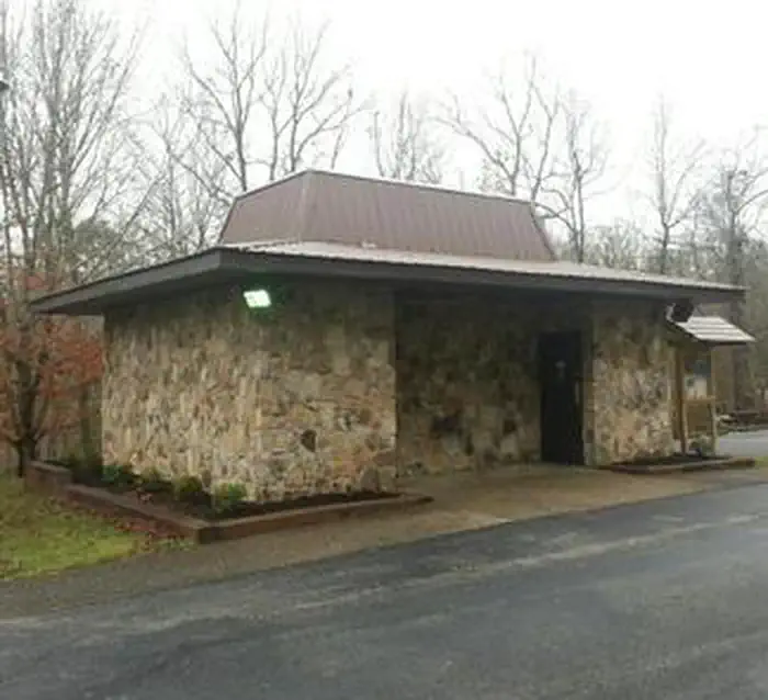
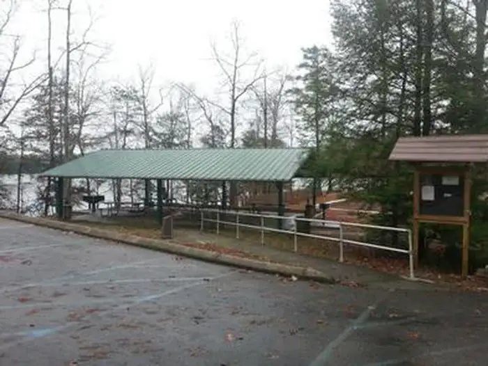
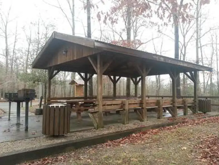
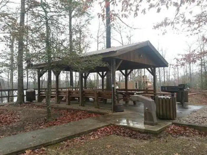
Overview Laurel River Lake Picnic Area is a day-use facility located on a peninsula along the shores of Laurel River Lake. The picnic area provides 19 individual picnic sites which are first-come, first-serve, and two reservable shelters. There is no overnight camping allowed in the area. Click here for the Laurel Rive…
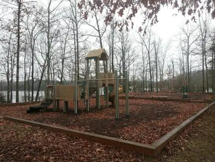
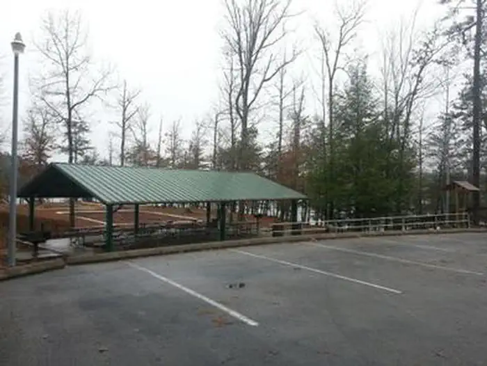
Overview Laurel River Lake Picnic Area is a day-use facility located on a peninsula along the shores of Laurel River Lake. The picnic area provides 19 individual picnic sites which are first-come, first-serve, and two reservable shelters. There is no overnight camping allowed in the area. Click here for the Laurel River Lake Picnic Area virtual tour.Recreation Laurel River Dam was completed in 1974 creating a 5,600-acre lake which provides hydroelectric power, safe drinking water and recreation opportunities for the public. Since its impoundment, the Forest Service and the Army Corps of Engineers have cooperated in developing public recreation facilities on and around the lake.Facilities Laurel River Lake Picnic Area offers one small and one large reservable group picnic shelter, with 19 additional picnic sites with tables and grill. port-a-potties, drinking water, playground, horseshoe pit, fishing pier and a volleyball net are also provided. Natural Features Laurel River Lake, with its cliff-lined shores and quiet coves, is a favorite destination for thousands of visitors each year. They come to boat, canoe, fish, hunt, hike, camp, swim, scuba dive, view wildlife and relax at one of the deepest and cleanest lakes in Kentucky. Contact Info For facility specific information, please call (606) 679-6337. Nearby Attractions Less than a mile up the road is a 725-feet long sandy beach area with a parking lot and chemical treated toilets. The beach is unguarded so always wear a flotation device when you're on or in the water. While visiting the picnic area you can stay at one of the Forest Service drive-in campgrounds located at Holly Bay and Grove Recreation Areas. Whiteoak and Grove boat-in campgrounds are accessible only by boat or trail. Cumberland Falls is the second largest waterfall east of the Rockies. It is about a 20 mile drive from the area. Cumberland Falls State Park provides lodge and cabin accommodations for guests.
Photos
Laurel River Lake Picnic AreaLaurel River Lake Picnic AreaLaurel River Lake Picnic AreaLaurel River Lake Picnic AreaLaurel River Lake Picnic Area
How to Get There
From London, Kentucky, head west on HWY 192 for approximately 15 miles. Turn slight left onto KY-1193. Continue on KY-1193 until arrive at destination on left. Area is marked by "Laurel Dam Picnic Area" signs.
Download your route in advance via Gaia, Caltopo, or OSM-based apps.
Recommendations adapt to the current forecast + trail stats. Use them as a starting point — local conditions, your experience, and the time of day you start all matter.
Plan Your Visit to Laurel River Lake Picnic Area
Heading to Laurel River Lake Picnic Area? A few things to know before you go:
Reservations: popular sites fill up fast — check Recreation.gov 6 months in advance
Fees: day-use and camping fees vary; check current rates on the official park page
Trash & pack-out: follow Leave No Trace principles
Wildlife: store food in bear boxes where provided; never feed wildlife
Weather: the 5-day forecast above is updated every 6 hours; verify just before you go
Frequently Asked Questions
Do I need a reservation for Laurel River Lake Picnic Area?
No central reservation system listed for Laurel River Lake Picnic Area. Check the official page (https://www.recreation.gov/camping/campgrounds/249992) for the latest entry policy and availability.
How do I get to Laurel River Lake Picnic Area?
From London, Kentucky, head west on HWY 192 for approximately 15 miles. Turn slight left onto KY-1193. Continue on KY-1193 until arrive at destination on left. Area is marked by "Laurel Dam Picnic Area" signs.