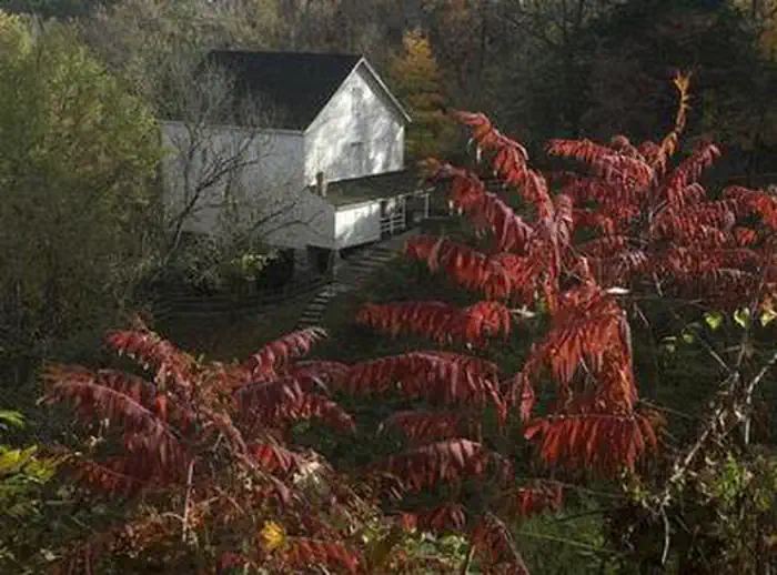
Overview Mill Springs Mill is located at 9135 Highway 1275 North, Monticello, KY and is a day-use facility located on the shores of Lake Cumberland, overlooking the main body of the lake. There is NO overnight camping allowed in the area.Click here for the Lake Cumberland virtual tour. Recreation Lake Cumberland is the…
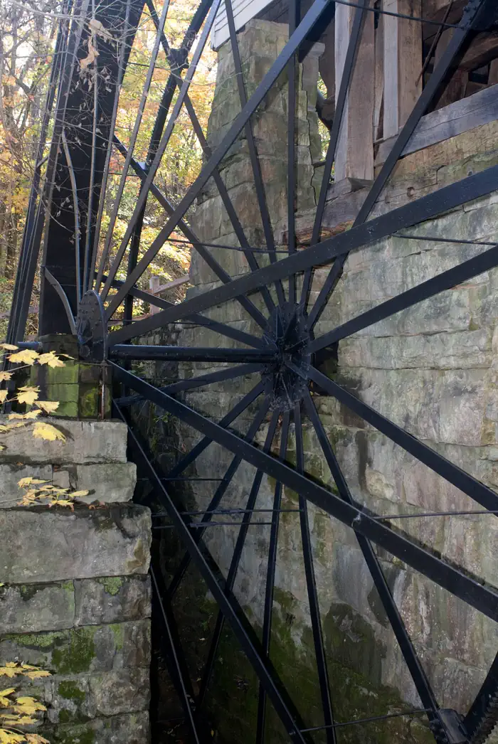
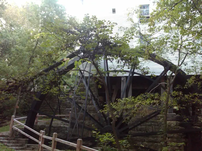
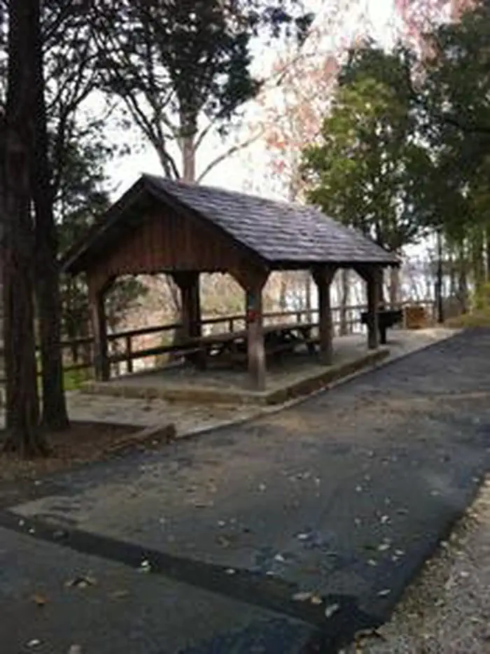
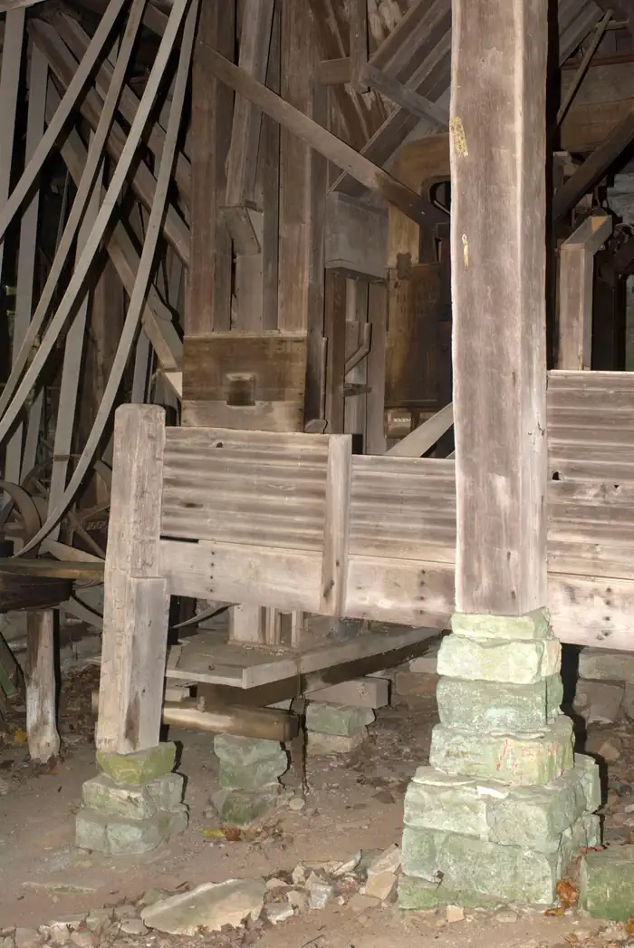
Overview Mill Springs Mill is located at 9135 Highway 1275 North, Monticello, KY and is a day-use facility located on the shores of Lake Cumberland, overlooking the main body of the lake. There is NO overnight camping allowed in the area.Click here for the Lake Cumberland virtual tour. Recreation Lake Cumberland is the largest man-made lake east of the Mississippi River. Its large surface acreage and over 1,200 miles of shoreline provide a myriad of recreational opportunities. The lake has an abundance of largemouth, smallmouth, white and Kentucky bass, bluegill, crappie, rockfish, and walleye making it a favorite among anglers. Facilities Mill Springs Mill offers a small reservable group picnic shelter and six picnic sites with tables and grills. Flush toilets, drinking water and a courtesy tie-up boat slip are also provided. Natural Features Mill Springs Mill, a water-powered grist mill listed on the National Register of Historic Places, was built in 1877 and is on the public lands of Lake Cumberland. Its 40-foot overshot water wheel is one of the largest in the world and probably the largest water wheel currently operating. The mill and water wheel were restored as a bicentennial project in 1976, and are now operated by the U.S. Army Corps of Engineers as an interpretive demonstration. Tours of the mill are conducted for the public during the recreation season. Nearby Attractions While visiting the Mill you can tour the historic Millers home, the Brown-Lanier house (ca.1830-1860) that was used as a headquarters and hospital during the Civil War battle of Mill Springs. Conley Bottom Marina is 10 minutes away with a campground, boat rentals, a restaurant and general store.
Photos
Mill Wheel — Roberts/ Corps of EngineersMill — Roberts/ Corps of EngineersMill Springs overshot wheel — Roberts/ Corps of EngineersMill Springs shelter — Daulton/ Corps of Engineers40' overshot wheel at Mill Springs Mill — Daulton/ Corps of EngineersMill Stone foundation — Roberts/ Corps of EngineersMill Springs Mill — Roberts/ Corps of Engineers Water pipe at mill — Scott/ Corps of EngineersTrail at Mill — Daulton/ Corps of EngineersMill Springs Mill foundation — Roberts/ Corps of EngineersCanon at Mill — Daulton/ Corps of Engineers
How to Get There
From downtown Monticello, Kentucky: Head east on South Main Street, cross Hwy 90/Hwy 1275, continue to follow Hwy 1275, approximately 6.6 miles, 14 minutes.
Download your route in advance via Gaia, Caltopo, or OSM-based apps.
Recommendations adapt to the current forecast + trail stats. Use them as a starting point — local conditions, your experience, and the time of day you start all matter.
Plan Your Visit to MILL SPRINGS MILL SHELTER
Heading to MILL SPRINGS MILL SHELTER? A few things to know before you go:
Reservations: popular sites fill up fast — check Recreation.gov 6 months in advance
Fees: day-use and camping fees vary; check current rates on the official park page
Trash & pack-out: follow Leave No Trace principles
Wildlife: store food in bear boxes where provided; never feed wildlife
Weather: the 5-day forecast above is updated every 6 hours; verify just before you go
Frequently Asked Questions
Do I need a reservation for MILL SPRINGS MILL SHELTER?
No central reservation system listed for MILL SPRINGS MILL SHELTER. Check the official page (https://www.recreation.gov/camping/campgrounds/234748) for the latest entry policy and availability.
How do I get to MILL SPRINGS MILL SHELTER?
From downtown Monticello, Kentucky: Head east on South Main Street, cross Hwy 90/Hwy 1275, continue to follow Hwy 1275, approximately 6.6 miles, 14 minutes.