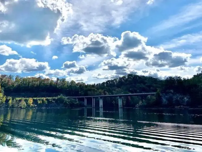
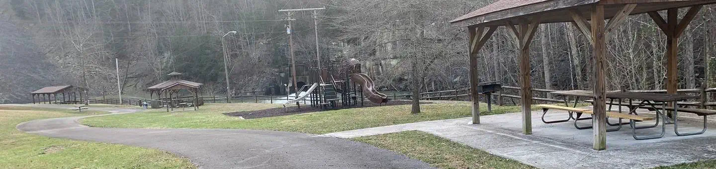
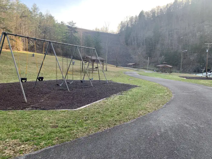
Overview The John W. Flannagan Day Use Area boasts an expansive lake nestled in the rolling green Cumberland Mountains of southwest Virginia, offering visitors an oasis of recreation in the summer months. The nearby dam, built primarily for flood control for the Cranesnest and Pound Rivers, creates a breathtaking lake …
Overview The John W. Flannagan Day Use Area boasts an expansive lake nestled in the rolling green Cumberland Mountains of southwest Virginia, offering visitors an oasis of recreation in the summer months. The nearby dam, built primarily for flood control for the Cranesnest and Pound Rivers, creates a breathtaking lake that is maintained at nearly 1,400 feet above sea level. This day-use facility is an ideal spot for picnicking, water activities, and hiking.Recreation Flannagan's reputation as a fisherman's paradise is well-known. Visitors can enjoy secluded coves of deep, clean water that are well-stocked with bass, bream, walleye and trout. Boating, canoeing, whitewater rafting, and biking top the long list of activities available nearby.Facilities Picnic shelters with grills, electrical hookups, a playground, and horseshoe pits provide an ideal location for parties and other get-togethers.Natural Features The John W. Flannagan Dam, completed in 1964, carves out a 1,145-acre lake with nearly 40 miles of beautiful shoreline in the lush Virginia terrain. Nearby Attractions The Lower Twin, Cranes Nest and Pound River Campgrounds, located near the day-use area, offer overnight camping. Breaks Interstate Park is nearby, offering lodging, dining, a museum, gift shop, rafting, canoeing, and other outdoor activities.
Photos
Below Dam — Army Corps of EngineersBelow Dam — Army Corps of Engineers
How to Get There
From VA-63, turn right onto State Route 614. Continue straight for approximately two miles.
Download your route in advance via Gaia, Caltopo, or OSM-based apps.
🛍
Dry bags for electronics
Phone, camera, and snacks should stay dry.
Recommendations adapt to the current forecast + trail stats. Use them as a starting point — local conditions, your experience, and the time of day you start all matter.
Plan Your Visit to JOHN W. FLANNAGAN DAY USE
Heading to JOHN W. FLANNAGAN DAY USE? A few things to know before you go:
Reservations: popular sites fill up fast — check Recreation.gov 6 months in advance
Fees: day-use and camping fees vary; check current rates on the official park page
Trash & pack-out: follow Leave No Trace principles
Wildlife: store food in bear boxes where provided; never feed wildlife
Weather: the 5-day forecast above is updated every 6 hours; verify just before you go
Frequently Asked Questions
Do I need a reservation for JOHN W. FLANNAGAN DAY USE?
No central reservation system listed for JOHN W. FLANNAGAN DAY USE. Check the official page (https://www.recreation.gov/camping/campgrounds/234243) for the latest entry policy and availability.
How many campsites are at JOHN W. FLANNAGAN DAY USE?
JOHN W. FLANNAGAN DAY USE has 3 campsites. Site amenities (hookups, vehicle limits, ADA access) vary — see the individual campsite pages for details.
How do I get to JOHN W. FLANNAGAN DAY USE?
From VA-63, turn right onto State Route 614. Continue straight for approximately two miles.