Overview Carr Creek Lake Shelters are located on Carr Creek Lake on the same side of Kentucky Highway 160 as Littcarr Campground. The U.S. Army Corps of Engineers, in cooperation with the Commonwealth of Kentucky, manages the land and water at Carr Creek Lake for wildlife, fisheries and recreation. Recreation The 710-a…
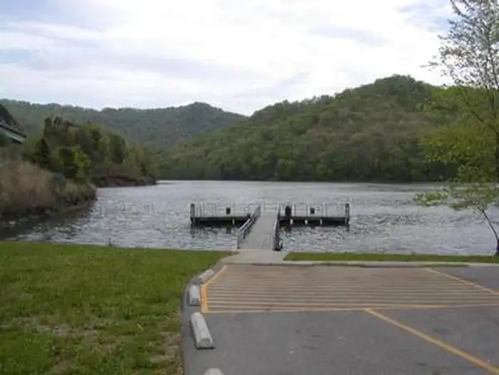
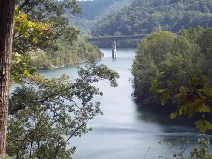
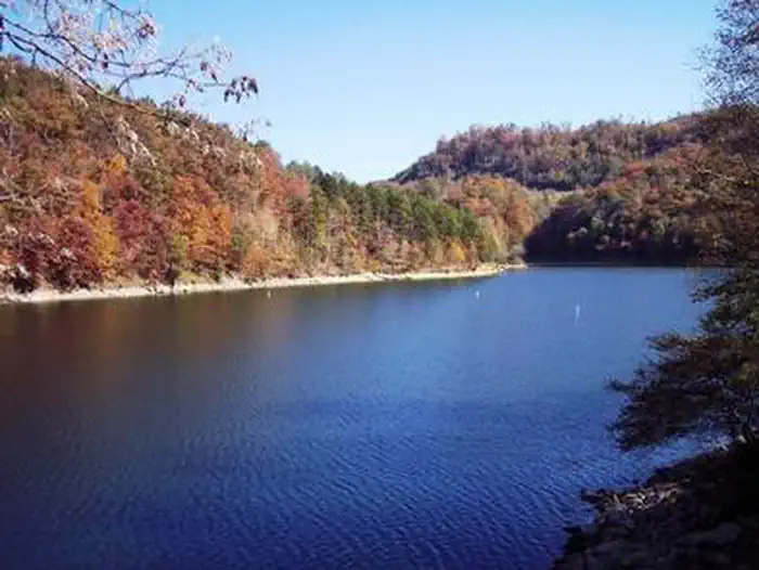
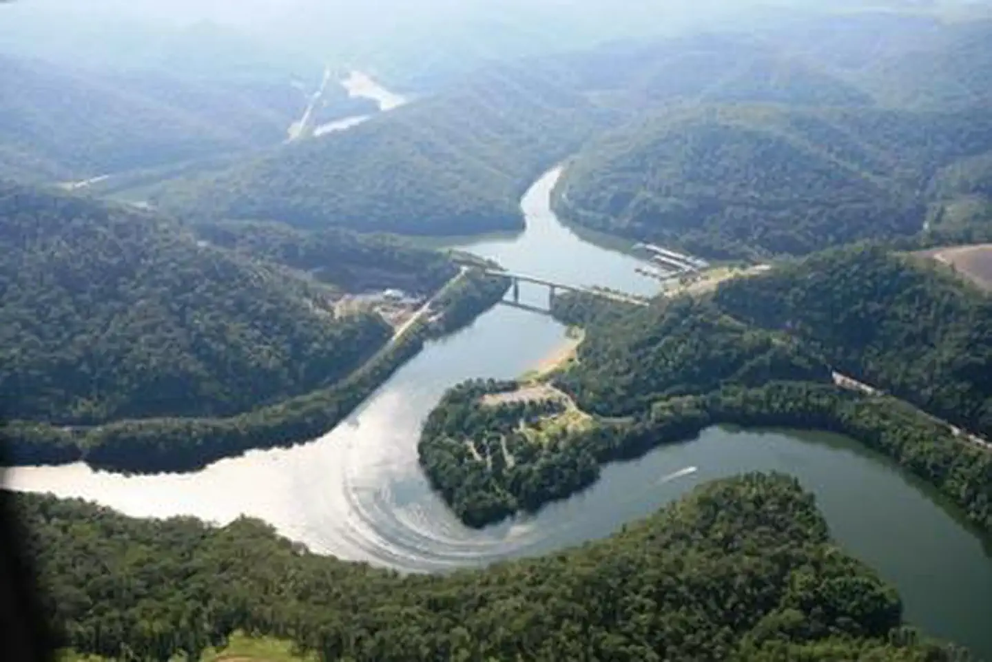
Overview Carr Creek Lake Shelters are located on Carr Creek Lake on the same side of Kentucky Highway 160 as Littcarr Campground. The U.S. Army Corps of Engineers, in cooperation with the Commonwealth of Kentucky, manages the land and water at Carr Creek Lake for wildlife, fisheries and recreation. Recreation The 710-acre lake and surrounding area offer a wide variety of outdoor recreation opportunities. Boating and water skiing are popular activities on the lake. For the sportsman, fishing is an ever-present activity. Crappie, bass, bluegill and walleye are plentiful in the lake and provide hours of fishing enjoyment. Also, the Kentucky Department of Fish and Wildlife release trout in the tailwater throughout the summer months. Hikers can find a short nature trail, less than a mile long, in the Dam/Tailwater area. For a bit more adventure, the 6-mile Sugar Branch Trail begins at the dam and ends at Sugar Lake Road.Facilities A total of eight picnic shelters are open for use from April through September. The shelters are known as Dogwood, Holly, Laurel, Pin Oak, Poplar, Sycamore, White Pine and Willow. Each is accessible and equipped with electricity, grills, picnic tables and lighting. Each shelter can accommodate up to 200 people; However we are asking that the number of people at each site will be limited to 10 persons due to the COVID-19 outbreak. Willow, Pin Oak, White Pine and Dogwood are located at the Littcarr Recreation Area, offering access to a boat ramp, playground, horseshoe pit and shoreline fishing. Sycamore and Poplar are in the Dam/Tailwater Area, with a horseshoe pit, large playground and volleyball courts nearby. Laurel and Holly are at the marina, where guests have access to a boat ramp, playground, horseshoe pits and accessible fishing pier. Restrooms are located near all shelters. Natural Features Carr Creek Lake is located in the mountainous region of southeastern Kentucky, about 16 miles from Hazard and 18 miles from Whitesburg. The dam is lo
Photos
CARR CREEK LAKE SHELTERSCARR CREEK LAKE SHELTERSCARR CREEK LAKE SHELTERSCARR CREEK LAKE SHELTERSCARR CREEK LAKE SHELTERS
How to Get There
Carr Creek Lake's Littcarr Recreation Area is located apprioxiately 19 miles from Hazard, Kentucky. Route from Hazard to Littcarr Recreation Area is via KY Route 15 south 17 miles to KY Route 160, then 2 miles to Littcarr Recreation Area. Dogwood Shelter: After turning from KY 15, Dogwood Shelter is located on the first right turn at the Littcarr Recreation Area. (Dogwood Shelter is located next to the restroom, just above the Willow Shelter). Holly Shelter: After turning from KY 15, the Marina Recreation Area is the first left turn after turning onto Smith Branch Road. (Holly Shelter is the first shelter on your right as one enters the recreation area). Laurel Shelter: After turning from KY 15, the Marina Recreation Area is the first left turn after turning onto Smith Branch Road. (Laurel Shelter is the second shelter on your right as one enters the recreation area). Pin Oak Shelter: After turning from KY 15, Pin Oak Shelter is located on the second left turn at the Littcarr Recreation Area. Poplar Shelter: After turning from KY 15, the Tailwater Recreation Area is the second left turn after passing the Carr Creek Lake Dam. Poplar Shelter is the first shelter on your right as one enters the recreation area. (Poplar Shelter is located in the same recreation area as Sycamore Shelter, which is the second shelter one would encounter in the recreation area.) Sycamore Shelter: After turning from KY 15, the Tailwater Recreation Area is the second left turn after passing the Carr Cr
Download your route in advance via Gaia, Caltopo, or OSM-based apps.
Recommendations adapt to the current forecast + trail stats. Use them as a starting point — local conditions, your experience, and the time of day you start all matter.
Plan Your Visit to CARR CREEK LAKE SHELTERS
Heading to CARR CREEK LAKE SHELTERS? A few things to know before you go:
Reservations: popular sites fill up fast — check Recreation.gov 6 months in advance
Fees: day-use and camping fees vary; check current rates on the official park page
Trash & pack-out: follow Leave No Trace principles
Wildlife: store food in bear boxes where provided; never feed wildlife
Weather: the 5-day forecast above is updated every 6 hours; verify just before you go
Frequently Asked Questions
Do I need a reservation for CARR CREEK LAKE SHELTERS?
No central reservation system listed for CARR CREEK LAKE SHELTERS. Check the official page (https://www.recreation.gov/camping/campgrounds/233353) for the latest entry policy and availability.
Are pets allowed at CARR CREEK LAKE SHELTERS?
Pets are mentioned in this park’s information. Specific rules (leash requirements, banned areas) vary by location — verify on the official site before bringing your dog.
How do I get to CARR CREEK LAKE SHELTERS?
Carr Creek Lake's Littcarr Recreation Area is located apprioxiately 19 miles from Hazard, Kentucky. Route from Hazard to Littcarr Recreation Area is via KY Route 15 south 17 miles to KY Route 160, then 2 miles to Littcarr Recreation Area. Dogwood Shelter: After turning from KY 15, Dogwood Shelter is located on the first right turn at the Littcarr Recreation Area. (Dogwood Shelter is located next t…