Overview Pleasant Grove Recreation Area is a day-use facility, located along the shores of Dale Hollow Lake in the hills of Tennessee. Recreation Dale Hollow is renowned for its fishing opportunities. In addition to yielding the world record smallmouth bass and being known as a trophy smallmouth lake, the Obey River be…
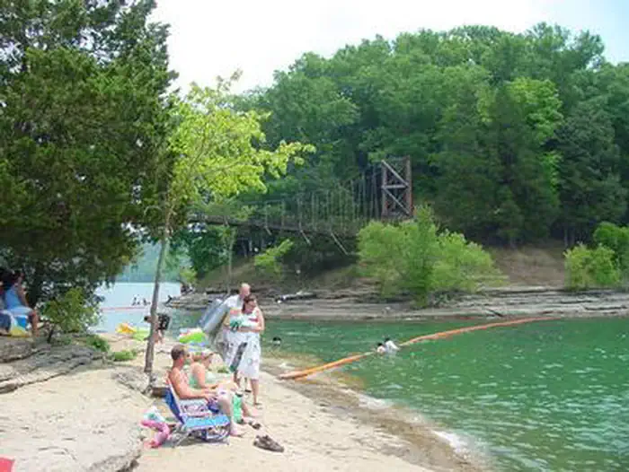
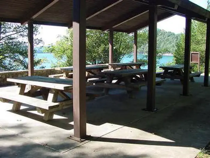
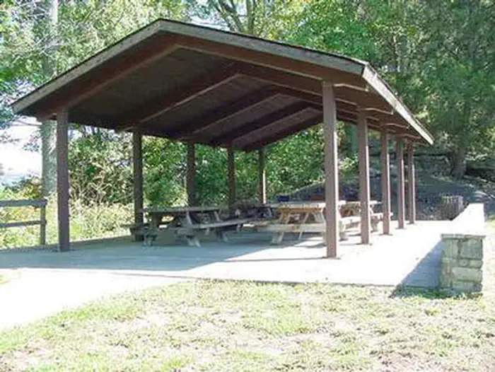
Overview Pleasant Grove Recreation Area is a day-use facility, located along the shores of Dale Hollow Lake in the hills of Tennessee. Recreation Dale Hollow is renowned for its fishing opportunities. In addition to yielding the world record smallmouth bass and being known as a trophy smallmouth lake, the Obey River below Dale Hollow Dam is also known for excellent rainbow and brown trout fishing. Boating and water skiing are also popular activities, and with 27,700 surface acres of water and 620 miles of shoreline, there is plenty of space for visitors to explore the lake. A boat launch is provided. Pleasant Grover also offers a picnic area with a reservable shelter, located on a beautiful peninsula with exceptional views of Dale Hollow Dam.Facilities Pleasant Grove Recreation Area offers a large group picnic shelter with five picnic tables and grills. Flush toilets and drinking water are also provided. A boat ramp provides convenient lake access.Natural Features Dale Hollow Dam and Lake was completed in 1943. Although the dam was built for flood control and power generation, it has now become a recreational oasis for more than 3 million visitors each year. The dam is located on the Obey River, about 3 miles east of Celina, Tennessee. Surrounded by a thick expanse of forest, the clear blue lake creates a stunning scenic backdrop for a variety of water and land recreational activities. In the late fall through early spring, the American Bald Eagle can be spotted flying overhead or perched on low-lying limbs. Dale Hollow hosts the second largest wintering eagle population in the states of Tennessee and Kentucky. Nearby Attractions The Dale Hollow National Fish Hatchery is adjacent to the dam. Operated by the U.S. Fish and Wildlife Service, the hatchery is the largest federal trout hatchery east of the Mississippi, producing 1.5 million trout annually. The hatchery is open to visitors daily.Charges & Cancellations Full rules and reservation policies for fees associate
Photos
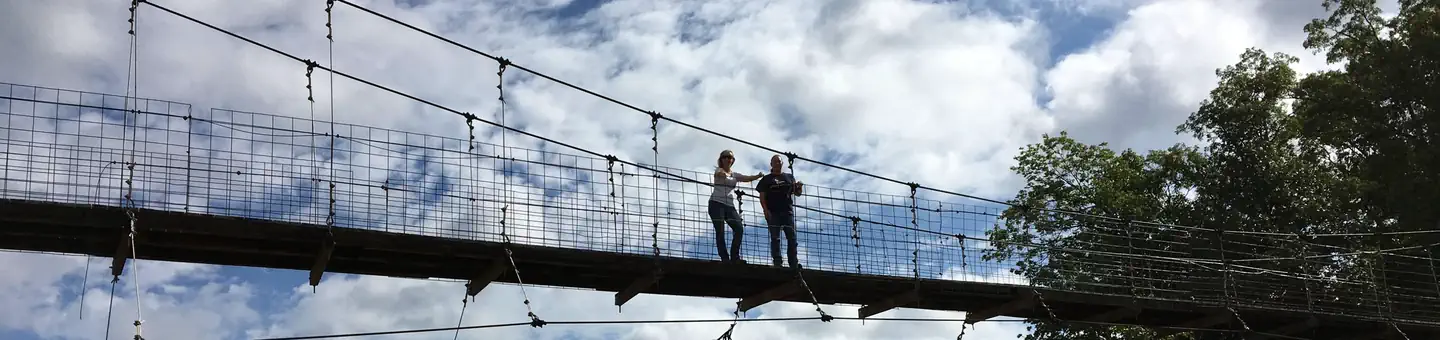
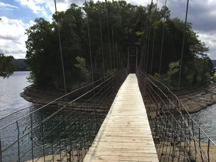
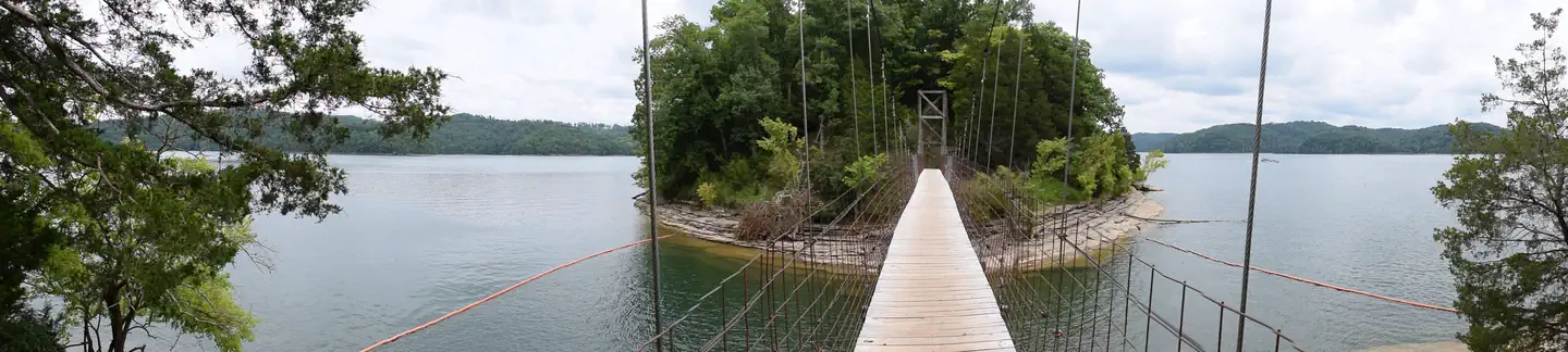
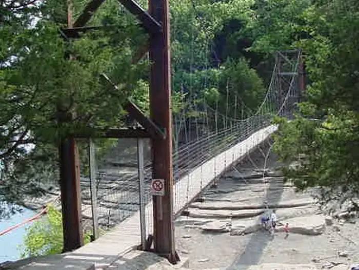
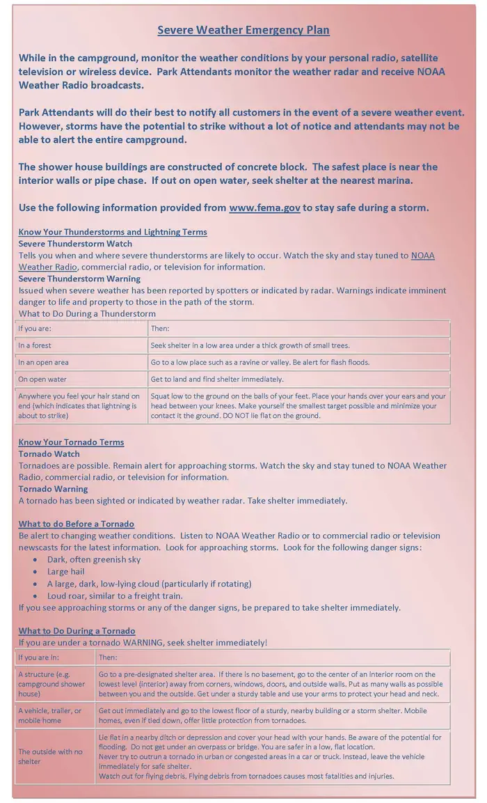
Bulletin Board Welcome to Pleasant Grove — USACEBulletin Board with lake map and beach rules — USACEPLEASANT GROVE DAY USE SWINGING BRIDGE — USACEPLEASANT GROVE RECREATION AREA SWIM AREA — USACEPLEASANT GROVE DAY USE SWINGING BRIDGE VIEW FROM LAKE SHORE — USACEPLEASANT GROVE DAY USE PANORAMIC — USACEDAY USE AUTOMATED PAY STATION-PAY DAY FEE OR PURCHASE ANNUAL PASS. CARD ONLY — USACEPLEASANT GROVE DAY USE UPHILL VIEW OF BRIDGE — USACESEVERE WEATHER EMERGENCY PLAN — USACEPLEASANT GROVE RECREATION AREA SHELTER — USACEPLEASANT GROVE RECREATION AREA KIDS ON BRIDGE — PHOTO CONTESTPLEASANT GROVE RECREATION AREA — USACE
How to Get There
From Celina, Tennessee, turn northeast on Route 53 and continue for 4 miles. Turn right on Old Route 53 at the Cedar Hill/Pleasant Grove exit and follow signs to the park. It is recommended that visitors do not rely on GPS or Mapquest to reach the park.
Download your route in advance via Gaia, Caltopo, or OSM-based apps.
Recommendations adapt to the current forecast + trail stats. Use them as a starting point — local conditions, your experience, and the time of day you start all matter.
Plan Your Visit to PLEASANT GROVE RECREATION AREA
Heading to PLEASANT GROVE RECREATION AREA? A few things to know before you go:
Reservations: popular sites fill up fast — check Recreation.gov 6 months in advance
Fees: day-use and camping fees vary; check current rates on the official park page
Trash & pack-out: follow Leave No Trace principles
Wildlife: store food in bear boxes where provided; never feed wildlife
Weather: the 5-day forecast above is updated every 6 hours; verify just before you go
Frequently Asked Questions
Do I need a reservation for PLEASANT GROVE RECREATION AREA?
No central reservation system listed for PLEASANT GROVE RECREATION AREA. Check the official page (https://www.recreation.gov/camping/campgrounds/232675) for the latest entry policy and availability.
How many campsites are at PLEASANT GROVE RECREATION AREA?
PLEASANT GROVE RECREATION AREA has 1 campsites. Site amenities (hookups, vehicle limits, ADA access) vary — see the individual campsite pages for details.
How do I get to PLEASANT GROVE RECREATION AREA?
From Celina, Tennessee, turn northeast on Route 53 and continue for 4 miles. Turn right on Old Route 53 at the Cedar Hill/Pleasant Grove exit and follow signs to the park. It is recommended that visitors do not rely on GPS or Mapquest to reach the park.
How do I contact PLEASANT GROVE RECREATION AREA?
You can reach the park at phone: CONTACT PLEASANT GROVE DIRECTLY AT 931-243-3555. CONTACT THE RESOURCE MANAGER'S OFFICE AT 931-243-3136. or email: [email protected].