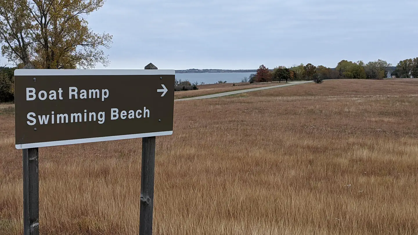
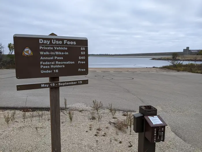
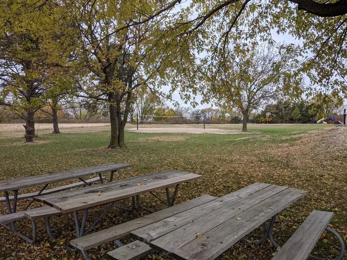
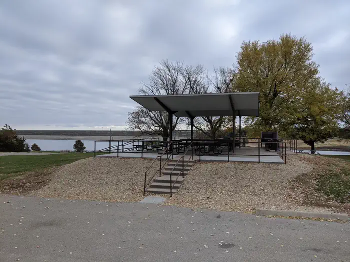
Overview East Rolling Hills day use park is the largest day use park the Corps of Engineers offers at Milford Lake with six shelters available for reservations. Each shelter location is unique but all offer a beautiful view of Milford Lake. Inside the park a swim beach and free boat ramp are also offered to the public.…
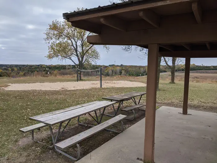
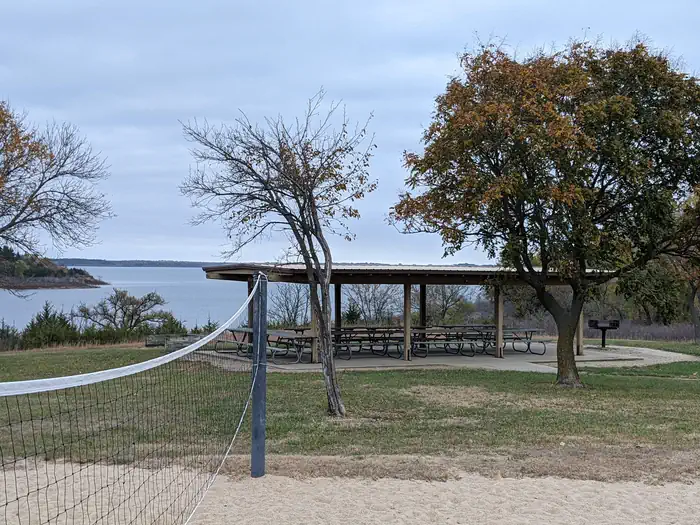
Overview East Rolling Hills day use park is the largest day use park the Corps of Engineers offers at Milford Lake with six shelters available for reservations. Each shelter location is unique but all offer a beautiful view of Milford Lake. Inside the park a swim beach and free boat ramp are also offered to the public. Click here for the Milford Lake Virtual Tour. Recreation Activities at Milford Lake include boating, swimming, fishing, hunting, hiking, wildlife viewing and biking. Milford Lake is known to have great sail boating opportunities as well. Facilities Each shelter has a vault toilet and grill available for use and several of the shelters have playgrounds, horseshoe pits and sand volleyball courts nearby. The park offers a full size basketball court as well. Natural Features Milford Lake is nestled on the edge of the Kansas Flint Hills and is fed by the Republican River. Milford Lake stands as the largest man-made lake in Kansas, with a surface area of 15,700 acres and 163 miles of shoreline. Milford Lake is also the home of the states third largest wetland and is known for a variety of wildlife. Nearby Attractions The Milford Nature Center and Fish Hatchery is nearby just below the dam. There you can find live animal exhibits as well as learn about the ecosystems of Kansas. A golf course is adjacent to the nature center on the north end of the Dam and the town of Junction City is approximately five miles from North Overlook Shelter.
Photos
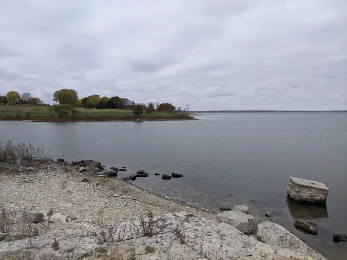
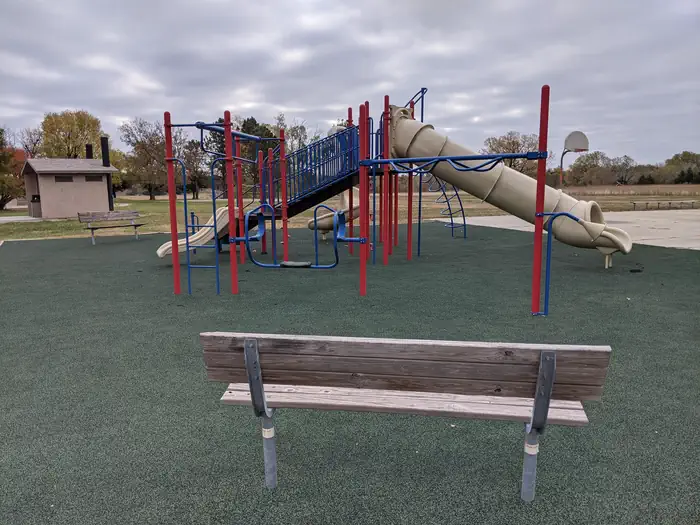
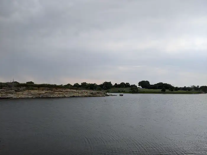
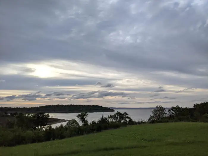
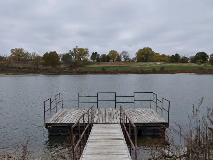
East Rolling Hills Coastal Fishing Area — Photo by Cody ThompsonEast Rolling Hills Playground — Photo by Cody ThompsonLooking across to East Rolling Hills — Photo by Cody ThompsonEast Rolling Hills Shelter #6 and Volleyball — Photo by Cody ThompsonEast Rolling Hills Shelter #4 — Photo by Cody ThompsonEast Rolling Hills Beach Sign — Photo by Cody ThompsonView from East Rolling Hills Shelter #4 — Photo by Cody ThompsonEast Rolling Hills Shelter #1 Picnic Tables — Photo by Cody ThompsonEast Rolling Hills Shelter #1 near volleyball court and playground — Photo by Cody ThompsonEast Rolling Hills Fishing Dock — Photo by Cody Thompson
How to Get There
Take I-70 to exit 295, then 4.5 miles north to Hwy. 57, then east approximately 1.5 miles to park entrance.
Download your route in advance via Gaia, Caltopo, or OSM-based apps.
🛍
Dry bags for electronics
Phone, camera, and snacks should stay dry.
Recommendations adapt to the current forecast + trail stats. Use them as a starting point — local conditions, your experience, and the time of day you start all matter.
Plan Your Visit to EAST ROLLING HILLS PARK (KS)
Heading to EAST ROLLING HILLS PARK (KS)? A few things to know before you go:
Reservations: popular sites fill up fast — check Recreation.gov 6 months in advance
Fees: day-use and camping fees vary; check current rates on the official park page
Trash & pack-out: follow Leave No Trace principles
Wildlife: store food in bear boxes where provided; never feed wildlife
Weather: the 5-day forecast above is updated every 6 hours; verify just before you go
Frequently Asked Questions
Do I need a reservation for EAST ROLLING HILLS PARK (KS)?
No central reservation system listed for EAST ROLLING HILLS PARK (KS). Check the official page (https://www.recreation.gov/camping/campgrounds/251453) for the latest entry policy and availability.
How do I get to EAST ROLLING HILLS PARK (KS)?
Take I-70 to exit 295, then 4.5 miles north to Hwy. 57, then east approximately 1.5 miles to park entrance.