About WHITEHALL BAY
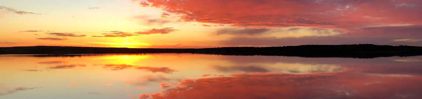
Overview Whitehall Bay Campground is located on the shores of Fall River Lake in Greenwood County, Kansas. Opportunities for outdoor family fun and recreation include swimming, boating, water skiing, camping, picnicking and sightseeing.Recreation For birdwatchers and nature lovers, there is an 8,000 acre Fall River wildlife area, where prairie chickens, waterfowl, rabbits, wild turkeys, white tail deer, doves and quail are commonly seen. Over 400 species of birds are protected in this area. Hiking and biking opportunities near Fredonia Bay include the 1.5-mile Casner Creek Trail, which meanders through the forest, opening onto a breathtaking display of wildflowers during spring and summer months, or the 1-mile Turkey Run Trail, which leads visitors through a wooded ravine, over a stream and into a tall grass prairie with an impressive view of the lake.Facilities This campground contains four group sites with electric hookups, and 20 family sites with electric. Additional amenities include flush toilets, drinking water, showers, a playground, beach, boat ramp and a dump station.Natural Features Rolling prairies and tree-dotted valleys sheltered by limestone-capped ridges surround Fall Lake, which stretches up the picturesque Fall River for 15 miles. This scenic area has a wealth of native wildlife and vegetation. Nearby Attractions Fall River State Park is nearby, offering great hiking, fishing and birding along the river. Canoeing is also a popular activity in the park.
How to Get There
From US HWY 400, turn left (north) at mile marker 344 (Z 50 Rd.) 0.09, turn right (east) 2.8 miles across dam, turn left (north) 0.8 miles, turn left (west), 0.7 miles, turn right (north) 1.7 miles to low water crossing, straight (north) 0.1 miles, west 0.4 miles, turn left (south) 1.1 miles to entrance to park.
Driving directions (Google Maps) →Campsites at WHITEHALL BAY
30 campsites at this campground.
Showing 24 of 30 campsites.
What to Pack for Your Stay
Tuned to the live forecast for this park.
👔 What to Wear
- 👕
Long-sleeve shirt
Synthetic or merino, sun-protective.
- 🧥
Light shell or windbreaker
Even on warm days, wind can chill (avg wind 0 mph).
- 👖
Hiking pants or convertible
Layer for variable conditions.
- 🥾
Trail runners or low boots
Comfortable, broken in.
🎒 What to Pack
- 💧
Water
Bring at least 1L of water; more in heat.
- 🍫
High-energy snacks
A snack for the trail.
- 🧴
Sun protection
Sunscreen, sunglasses, brimmed hat.
- 🩹
First-aid kit
Blister patches, ibuprofen, tape, antiseptic wipes.
- 🗺
Offline map
Download your route in advance via Gaia, Caltopo, or OSM-based apps.
Recommendations adapt to the current forecast + trail stats. Use them as a starting point — local conditions, your experience, and the time of day you start all matter.
Plan Your Visit to WHITEHALL BAY
Heading to WHITEHALL BAY? A few things to know before you go:
- Reservations: popular sites fill up fast — check Recreation.gov 6 months in advance
- Fees: day-use and camping fees vary; check current rates on the official park page
- Trash & pack-out: follow Leave No Trace principles
- Wildlife: store food in bear boxes where provided; never feed wildlife
- Weather: the 5-day forecast above is updated every 6 hours; verify just before you go
Frequently Asked Questions
Do I need a reservation for WHITEHALL BAY?
No central reservation system listed for WHITEHALL BAY. Check the official page (https://www.recreation.gov/camping/campgrounds/233831) for the latest entry policy and availability.
How many campsites are at WHITEHALL BAY?
WHITEHALL BAY has 30 campsites. Site amenities (hookups, vehicle limits, ADA access) vary — see the individual campsite pages for details.
How do I get to WHITEHALL BAY?
From US HWY 400, turn left (north) at mile marker 344 (Z 50 Rd.) 0.09, turn right (east) 2.8 miles across dam, turn left (north) 0.8 miles, turn left (west), 0.7 miles, turn right (north) 1.7 miles to low water crossing, straight (north) 0.1 miles, west 0.4 miles, turn left (south) 1.1 miles to entrance to park.
How do I contact WHITEHALL BAY?
You can reach the park at phone: 620-658-4445.
References & Official Resources