Overview Bob Shetler Recreation Area is located in the tailwater area below the 26,000-acre Saylorville Lake Project, which stretches more than 50 miles up the Des Moines River Valley. The lake provides a wide variety of recreational activities, including boating, swimming, fishing, hiking and hunting.Recreation Visito…
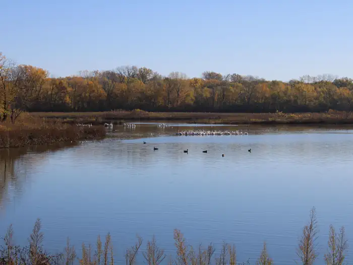
Overview Bob Shetler Recreation Area is located in the tailwater area below the 26,000-acre Saylorville Lake Project, which stretches more than 50 miles up the Des Moines River Valley. The lake provides a wide variety of recreational activities, including boating, swimming, fishing, hiking and hunting.Recreation Visitors enjoy Saylorville Lake for its excellent boating, sailing, water skiing, windsurfing and swimming opportunities. Anglers will find walleye, wiper, largemouth bass, catfish, crappie and northern pike. The paved Neal Smith Trail winds 24 miles from Des Moines to Big Creek State Park and connects the campgrounds on the east side of the lake. It is designated as a National Recreation Trail and is used for biking, hiking, jogging, walking and in-line skating.Facilities The campground offers 67 camping sites, all with electric hookups. Amenities include flush and pit toilets, showers, drinking water and a dump station. Nearby amenities include a visitor center, hiking trail, volleyball courts and a disc golf course. Boat ramps and an accessible fishing dock are also close by.Natural Features Large shade trees dot the open grassy areas of the campground, which offers excellent views of the Des Moines River. Most campsites are within easy walking distance of the shore. Wildlife is abundant throughout the project. White-tailed deer, turkeys, waterfowl and other small game animals roam the lands around the lake.
Photos
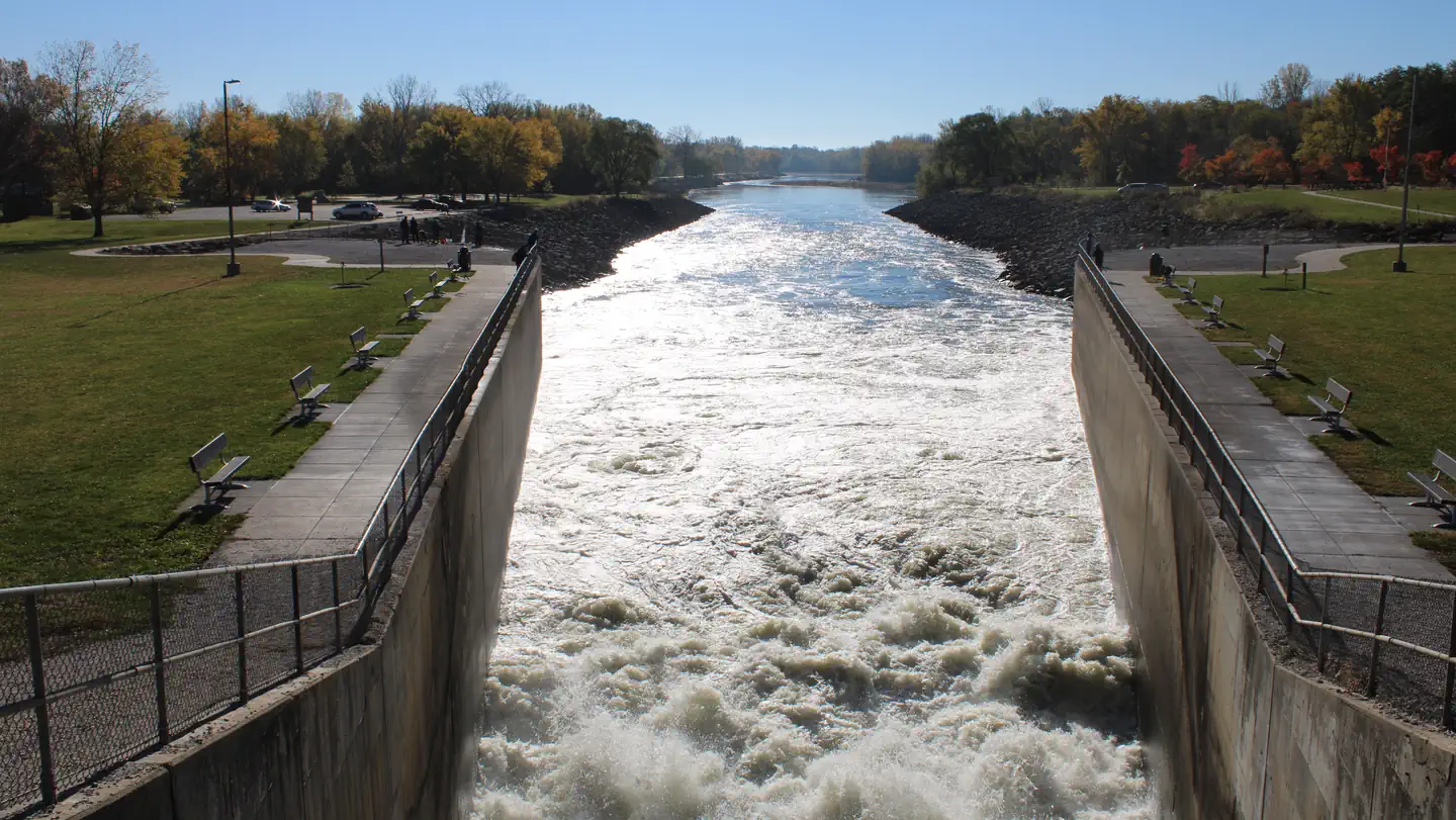
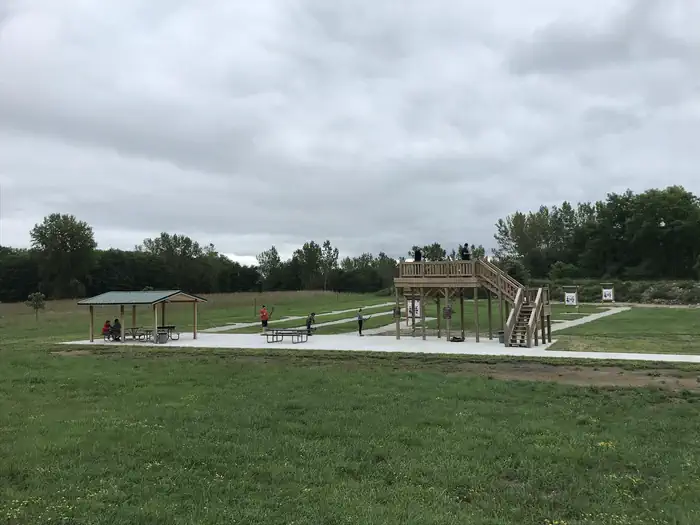
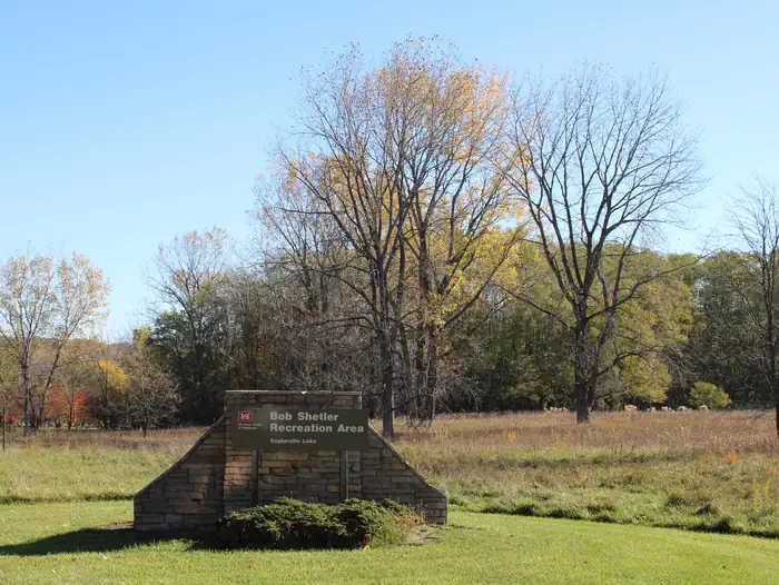
BOB SHETLER RECREATION AREA 1 — USACE Saylorville Lake Bob Shetler Archery Range — USACE StaffBob Shetler Entrance — USACE Staff
How to Get There
From I-35, take exit 90 to Ankeny/Oralabor Road and go west for 4.8 miles. The road turns into Highway 415. Turn left onto 37th Street, then turn right onto Horseshoe Road. Turn right and drive across the Saylorville Lake Dam to the campground.
Download your route in advance via Gaia, Caltopo, or OSM-based apps.
🛍
Dry bags for electronics
Phone, camera, and snacks should stay dry.
Recommendations adapt to the current forecast + trail stats. Use them as a starting point — local conditions, your experience, and the time of day you start all matter.
Plan Your Visit to BOB SHETLER RECREATION AREA
Heading to BOB SHETLER RECREATION AREA? A few things to know before you go:
Reservations: popular sites fill up fast — check Recreation.gov 6 months in advance
Fees: day-use and camping fees vary; check current rates on the official park page
Trash & pack-out: follow Leave No Trace principles
Wildlife: store food in bear boxes where provided; never feed wildlife
Weather: the 5-day forecast above is updated every 6 hours; verify just before you go
Frequently Asked Questions
Do I need a reservation for BOB SHETLER RECREATION AREA?
No central reservation system listed for BOB SHETLER RECREATION AREA. Check the official page (https://www.recreation.gov/camping/campgrounds/233432) for the latest entry policy and availability.
How many campsites are at BOB SHETLER RECREATION AREA?
BOB SHETLER RECREATION AREA has 67 campsites. Site amenities (hookups, vehicle limits, ADA access) vary — see the individual campsite pages for details.
How do I get to BOB SHETLER RECREATION AREA?
From I-35, take exit 90 to Ankeny/Oralabor Road and go west for 4.8 miles. The road turns into Highway 415. Turn left onto 37th Street, then turn right onto Horseshoe Road. Turn right and drive across the Saylorville Lake Dam to the campground.