Overview This campground is located adjacent to the Secesh River and offers beautiful river views. There are eleven camp sites. This location is available on a first-come, first-served basis only. Visitors are required to physically arrive at the campground to purchase and claim a site. Once on-site, you may be able to…
Overview This campground is located adjacent to the Secesh River and offers beautiful river views. There are eleven camp sites. This location is available on a first-come, first-served basis only. Visitors are required to physically arrive at the campground to purchase and claim a site. Once on-site, you may be able to pay for your campsite(s) by scanning a QR code using the Recreation.gov mobile app, and the Scan and Pay feature. If this option is available, you will need to first download the free Recreation.gov mobile app ht tps://www.recreation.gov/mobile-app prior to your arrival as some remote areas have limited or no cellular service. Recreation There is fishing and trail access. Facilities There are eleven camp sites, drinking water, fire-pits, tables, toilets, pack in/pack out. Please pack out your own trash. No hook-ups. Nearby Attractions The South Fork of the Salmon River is a highly popular area of the Forest and is one of the earlier areas to be snow-free in the spring. Several campgrounds and dispersed campsites can be found along the South Fork Road (FS Rd #674). The southern-most 7 miles of the South Fork Road are on the Boise National Forest.
Photos
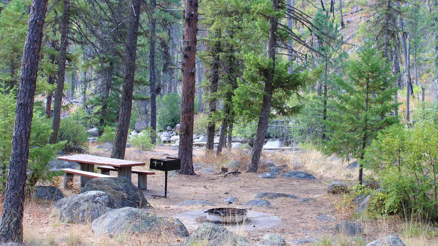
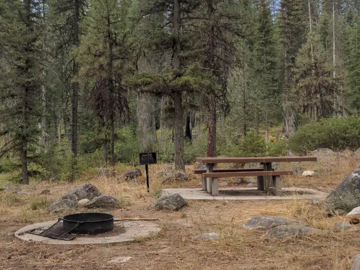
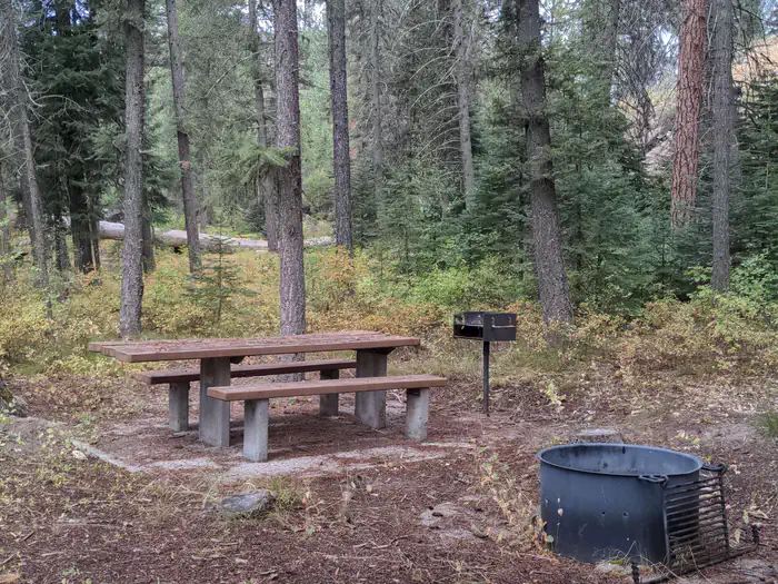
Ponderosa Campground site with table and fire ring — USFSPonderosa Campground — USFSForested campsite with picnic table, pedestal grill and fire pit. — USFS
How to Get There
From McCall, go 31 miles northeast on Lick Creek Road #48. The South Fork corridor is about 30 miles from Cascade along the Warm Lake Highway. Usually by July, Lick Creek Pass (Road #48) is snow-free, providing a faster access from McCall (35 miles) to the South Fork corridor. Please follow posted speed limits and drive carefully, the South Fork Road is a paved, narrow, one-lane road with two-way traffic and many blind corners.
Download your route in advance via Gaia, Caltopo, or OSM-based apps.
Recommendations adapt to the current forecast + trail stats. Use them as a starting point — local conditions, your experience, and the time of day you start all matter.
Plan Your Visit to Ponderosa
Heading to Ponderosa? A few things to know before you go:
Reservations: popular sites fill up fast — check Recreation.gov 6 months in advance
Fees: day-use and camping fees vary; check current rates on the official park page
Trash & pack-out: follow Leave No Trace principles
Wildlife: store food in bear boxes where provided; never feed wildlife
Weather: the 5-day forecast above is updated every 6 hours; verify just before you go
Frequently Asked Questions
Do I need a reservation for Ponderosa?
No central reservation system listed for Ponderosa. Check the official page (https://www.recreation.gov/camping/campgrounds/10176183) for the latest entry policy and availability.
How many campsites are at Ponderosa?
Ponderosa has 11 campsites. Site amenities (hookups, vehicle limits, ADA access) vary — see the individual campsite pages for details.
How do I get to Ponderosa?
From McCall, go 31 miles northeast on Lick Creek Road #48. The South Fork corridor is about 30 miles from Cascade along the Warm Lake Highway. Usually by July, Lick Creek Pass (Road #48) is snow-free, providing a faster access from McCall (35 miles) to the South Fork corridor. Please follow posted speed limits and drive carefully, the South Fork Road is a paved, narrow, one-lane road with two-way …
How do I contact Ponderosa?
You can reach the park at phone: N/A or email: N/A.