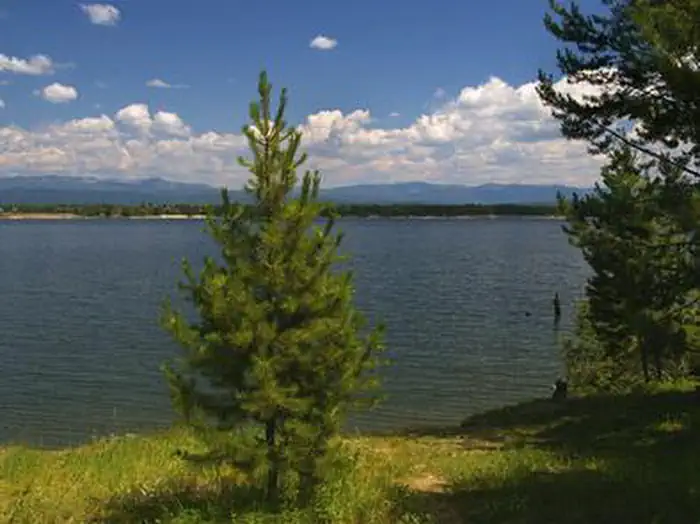
Overview Amanita Campground is located next to scenic Lake Cascade in west-central Idaho. It is near the town of Donnelly, at an elevation of 4,850 feet. Boating, fishing, swimming and hiking are popular activities in this scenic region. Recreation Lake Cascade offers excellent opportunities for boating, water skiing, …
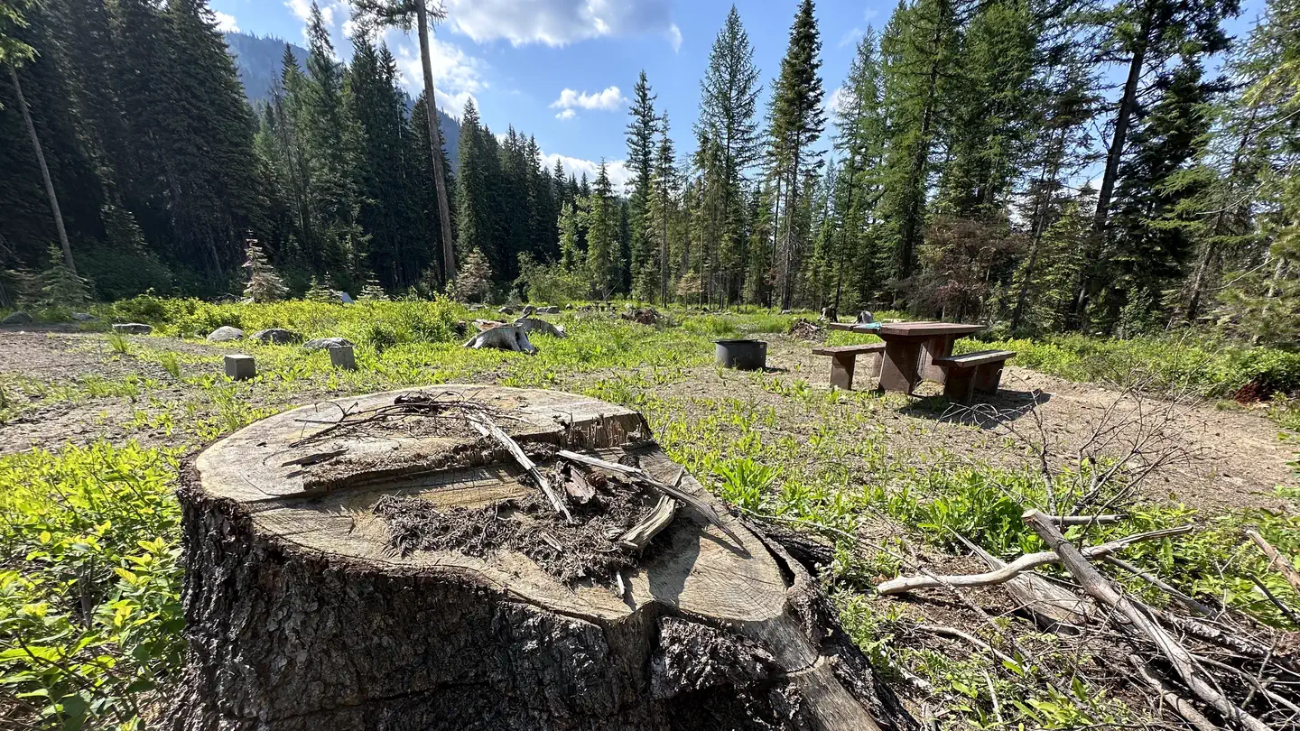
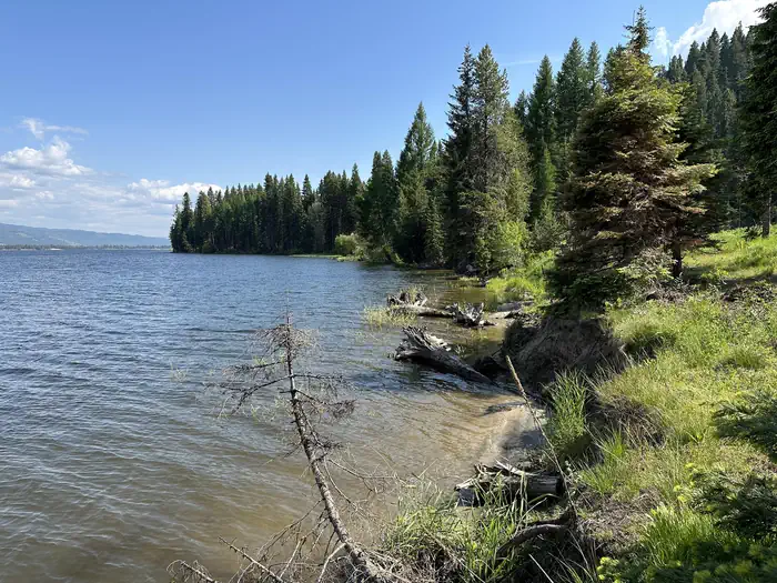
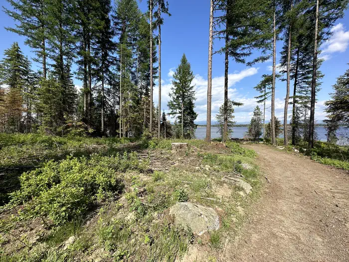
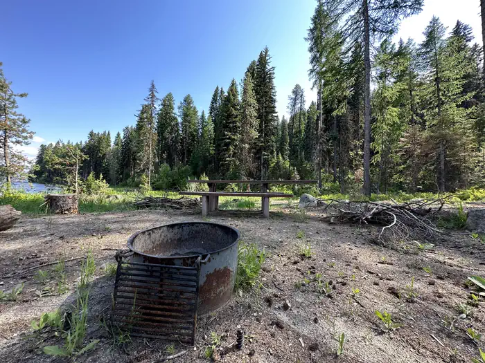
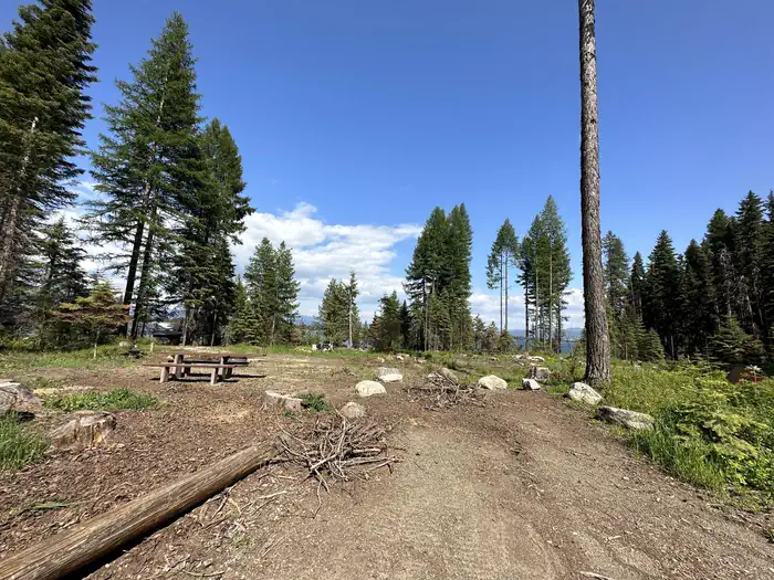
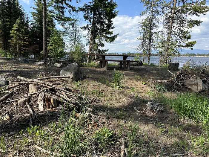
Overview Amanita Campground is located next to scenic Lake Cascade in west-central Idaho. It is near the town of Donnelly, at an elevation of 4,850 feet. Boating, fishing, swimming and hiking are popular activities in this scenic region. Recreation Lake Cascade offers excellent opportunities for boating, water skiing, canoeing, windsurfing and sailing. Anglers enjoy casting for rainbow trout, coho salmon, smallmouth bass and perch. A boat ramp is located at the neighboring Rainbow Point Campground. Many hiking and ATV trails are in the area as well.Facilities This small campground contains single-family campsites, with picnic tables, campfire rings and grills. Some sites have lake views and shoreline access. Vault toilets, drinking water and trash collection are provided, but there is no electricity at the campground. Roads and parking spurs within the facility are gravel. A campground host can be located at Rainbow Point Campground.Natural Features The campground is situated on the west shore of the lake, among a mixed-growth conifer forest that towers over the campground. Summer wildflowers are abundant in the area. A wide variety of wildlife makes its home around the lake. Waterfowl and songbirds can also be seen in the area, as well as pelicans and bald eagles.
Photos
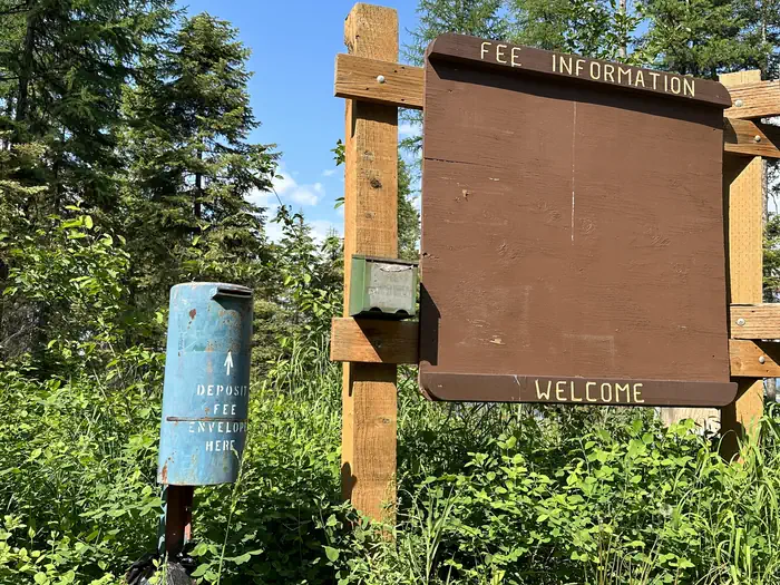
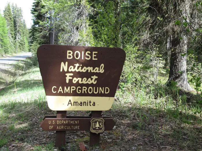
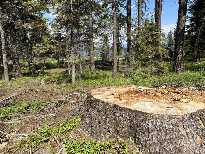
Amanita Lakeshore — Chris Bentley (Cascade District Ranger)Amanita Rehab - Information Kiosk — Chris Bentley (Cascade District Ranger)Amanita Rehab - Existing Vegetation — Chris Bentley (Cascade District Ranger)AMANITAAmanita Rehab - Fire Ring & Picnic Table — Chris Bentley (Cascade District Ranger)Amanita CG — USDAAmanita Rehab — Chris Bentley (Cascade District Ranger)Amanita Rehab - Parking Spur — Chris Bentley (Cascade District Ranger)AMANITA Secondary Image 1 — Chris Bentley (Cascade District Ranger)
How to Get There
From Boise, Idaho, take Highway 55 north for 95 miles to Donnelly. Turn west on West Roseberry Road and travel 1.5 miles to Norwood Road. Turn south and continue one mile to Tamarack Falls Road. From there, turn west and go just over a mile to West Mountain Road. Turn south and go a mile to the campground.
Download your route in advance via Gaia, Caltopo, or OSM-based apps.
Recommendations adapt to the current forecast + trail stats. Use them as a starting point — local conditions, your experience, and the time of day you start all matter.
Plan Your Visit to AMANITA
Heading to AMANITA? A few things to know before you go:
Reservations: popular sites fill up fast — check Recreation.gov 6 months in advance
Fees: day-use and camping fees vary; check current rates on the official park page
Trash & pack-out: follow Leave No Trace principles
Wildlife: store food in bear boxes where provided; never feed wildlife
Weather: the 5-day forecast above is updated every 6 hours; verify just before you go
Frequently Asked Questions
Do I need a reservation for AMANITA?
No central reservation system listed for AMANITA. Check the official page (https://www.recreation.gov/camping/campgrounds/232012) for the latest entry policy and availability.
How do I get to AMANITA?
From Boise, Idaho, take Highway 55 north for 95 miles to Donnelly. Turn west on West Roseberry Road and travel 1.5 miles to Norwood Road. Turn south and continue one mile to Tamarack Falls Road. From there, turn west and go just over a mile to West Mountain Road. Turn south and go a mile to the campground.