East Helena, Idaho · Lewis and Clark County · Campground
Overview Cave Point Group Use Shelter is located at the very north end of Canyon Ferry Reservoir, 30 miles east of Helena, Montana, along Highway 284. Cave Point offers year-round access to a wide range of recreational opportunities. The Canyon Ferry area has a rich mining history. Cave Point is named for one of the fi…
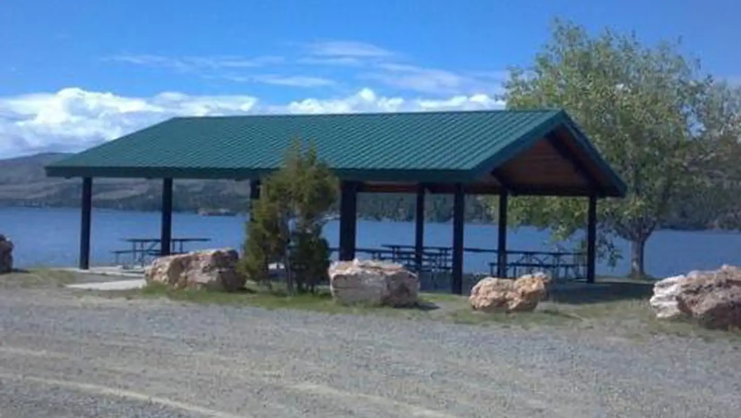
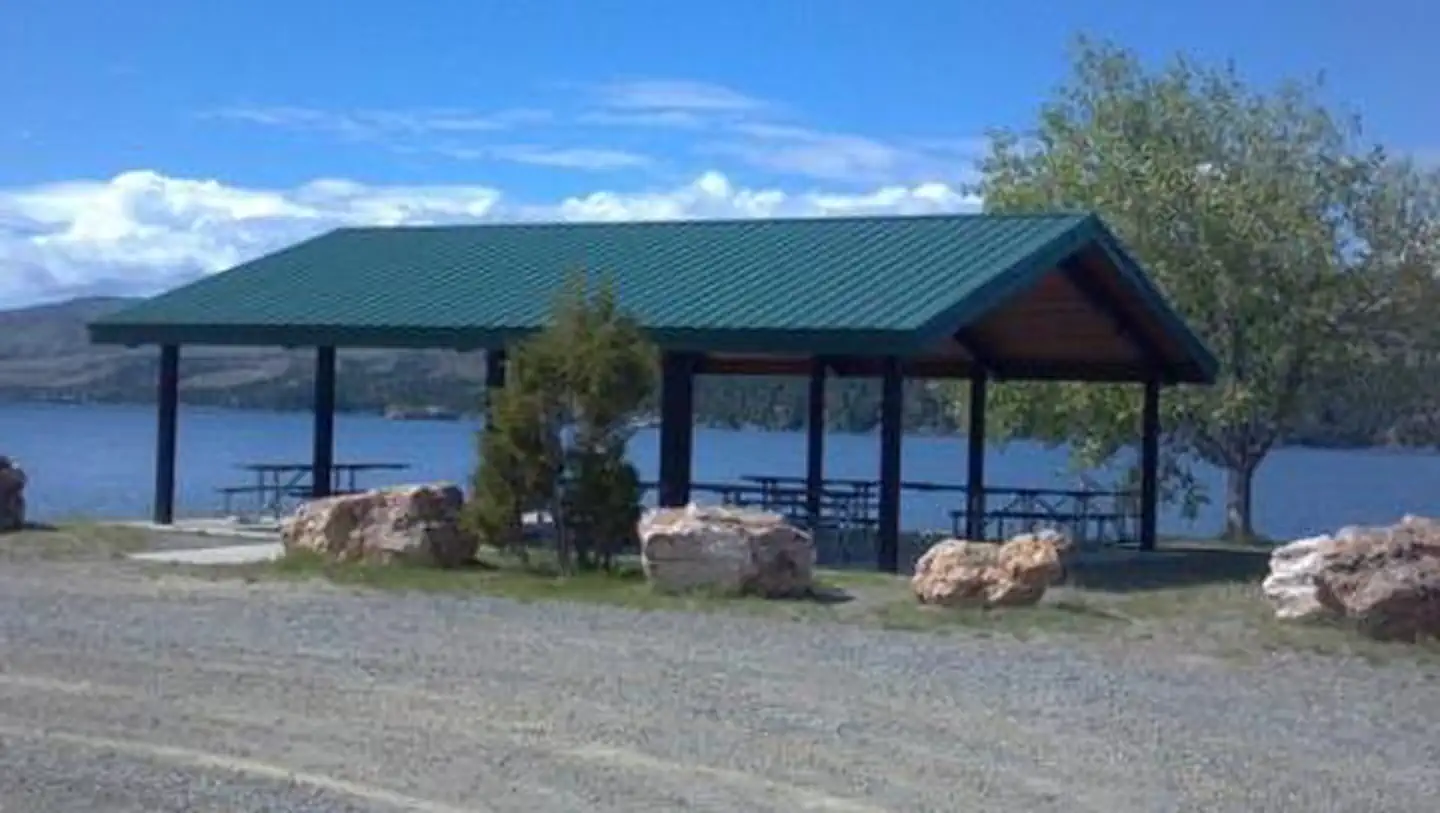
Overview Cave Point Group Use Shelter is located at the very north end of Canyon Ferry Reservoir, 30 miles east of Helena, Montana, along Highway 284. Cave Point offers year-round access to a wide range of recreational opportunities. The Canyon Ferry area has a rich mining history. Cave Point is named for one of the first settlements in the area, Cavetown. Visitors to the shelter can envision the original horse drawn ferry crossing that transported miners across the mighty Missouri River to work the mining camps. Recreation Canyon Ferry Reservoir offers a wide range of year-round recreational opportunities. Water related activities include everything from swimming and fishing to sailing and motor-boating. Canoeists and kayakers explore the many quiet backwater bays. Jet skiers, windsurfers and water skiers skim the summer waves, while winter draws ice fishermen, ice boaters and skaters. Facilities Cave Point Group Use Shelter is a small 30' X 36' shelter with six picnic tables and an accessible vault toilet and can accommodate up to 50 people. Access is shared with a road through Kim's Marina. Natural Features Cave Point Group Use Shelter sits at the north end of Canyon Ferry Reservoir between the Big Belt and Elkhorn Mountain ranges. Contact Info For facility specific information, please call (406) 475-3920.
Photos
CAVE POINT GROUP USE AREACAVE POINT GROUP USE AREA
How to Get There
If heading north along MT highway 12/287 from Townsend, MT, turn right onto Spokane Creek Rd. Follow Spokane Creek Rd for 4.6 miles and turn right onto Co Rd 430/Canyon Ferry Rd and continue 16 miles to Kim's Marina. Turn right into Kim's Marina and continue straight to Cave Point. If heading east along Co Rd 430/Canyon Ferry Rd from Helena, MT, continue for 16 miles to Kim's Marina. Turn right into Kim's Marina and continue straight to Cave Point.
Download your route in advance via Gaia, Caltopo, or OSM-based apps.
Recommendations adapt to the current forecast + trail stats. Use them as a starting point — local conditions, your experience, and the time of day you start all matter.
Plan Your Visit to CAVE POINT GROUP USE AREA
Heading to CAVE POINT GROUP USE AREA? A few things to know before you go:
Reservations: popular sites fill up fast — check Recreation.gov 6 months in advance
Fees: day-use and camping fees vary; check current rates on the official park page
Trash & pack-out: follow Leave No Trace principles
Wildlife: store food in bear boxes where provided; never feed wildlife
Weather: the 5-day forecast above is updated every 6 hours; verify just before you go
Frequently Asked Questions
Do I need a reservation for CAVE POINT GROUP USE AREA?
No central reservation system listed for CAVE POINT GROUP USE AREA. Check the official page (https://www.recreation.gov/camping/campgrounds/249996) for the latest entry policy and availability.
How do I get to CAVE POINT GROUP USE AREA?
If heading north along MT highway 12/287 from Townsend, MT, turn right onto Spokane Creek Rd. Follow Spokane Creek Rd for 4.6 miles and turn right onto Co Rd 430/Canyon Ferry Rd and continue 16 miles to Kim's Marina. Turn right into Kim's Marina and continue straight to Cave Point. If heading east along Co Rd 430/Canyon Ferry Rd from Helena, MT, continue for 16 miles to Kim's Marina. Turn right in…
How do I contact CAVE POINT GROUP USE AREA?
You can reach the park at phone: 406-475-3921 or email: [email protected].