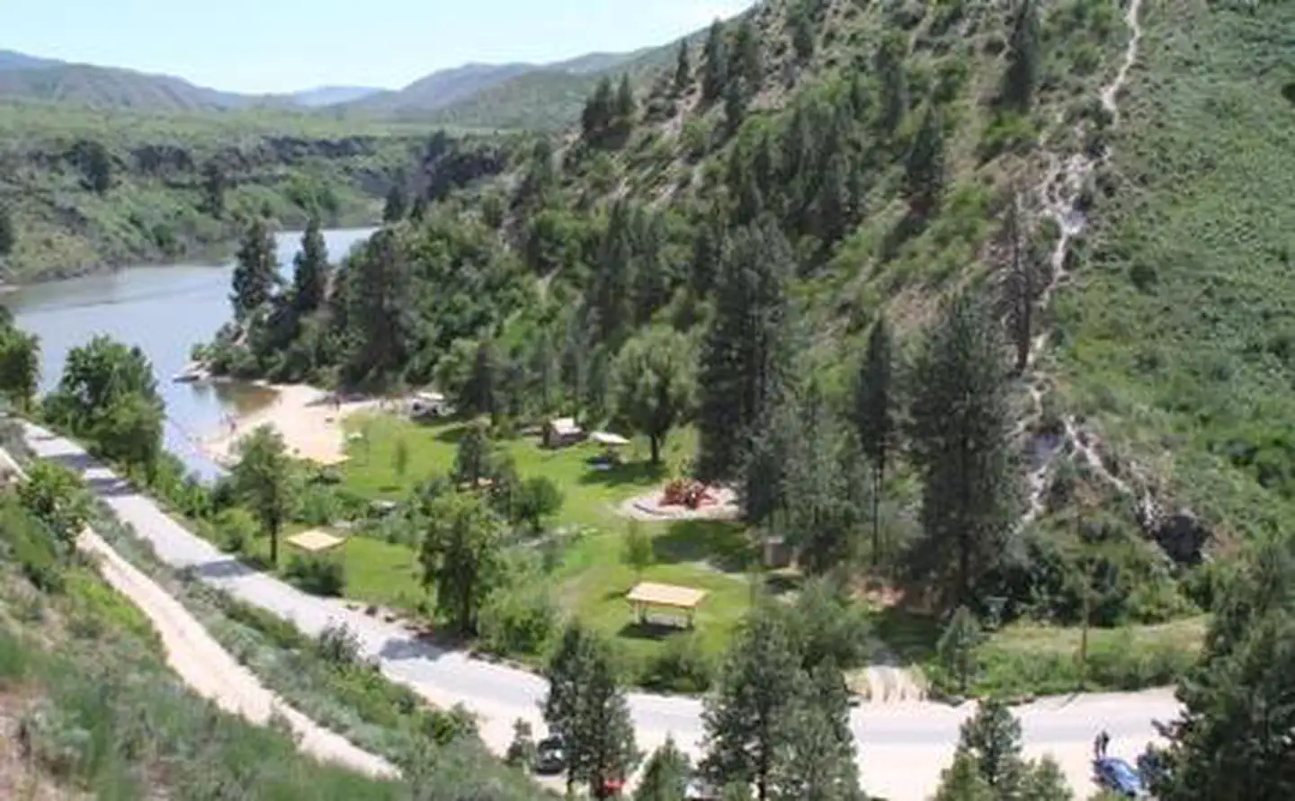
Overview Robie Creek Park is a secluded day use area at the confluence of Mores Creek and Robie Creek on the edge of the Boise National Forest.Recreation The lake provides great boating opportunities with Robie Creek Launch Area a short walk away. The park area has a playground and buoyed swimming area.Facilities Robie…
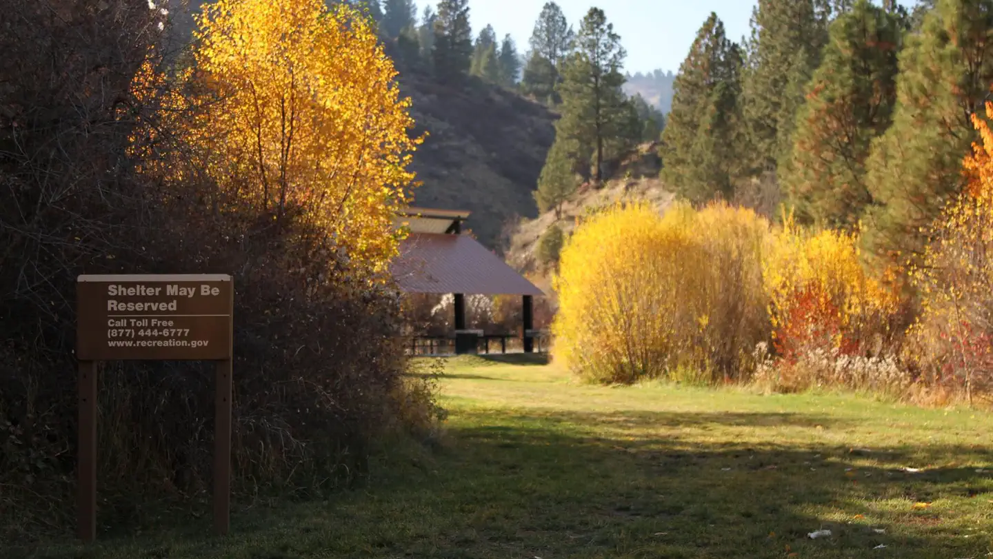
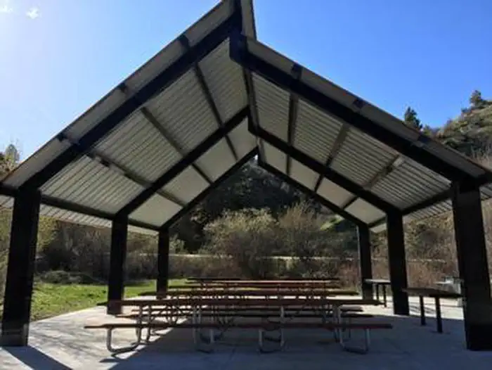
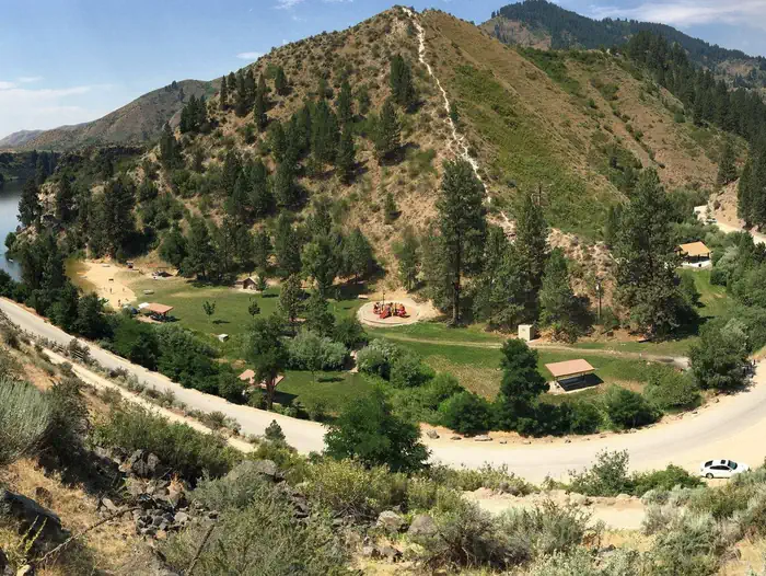
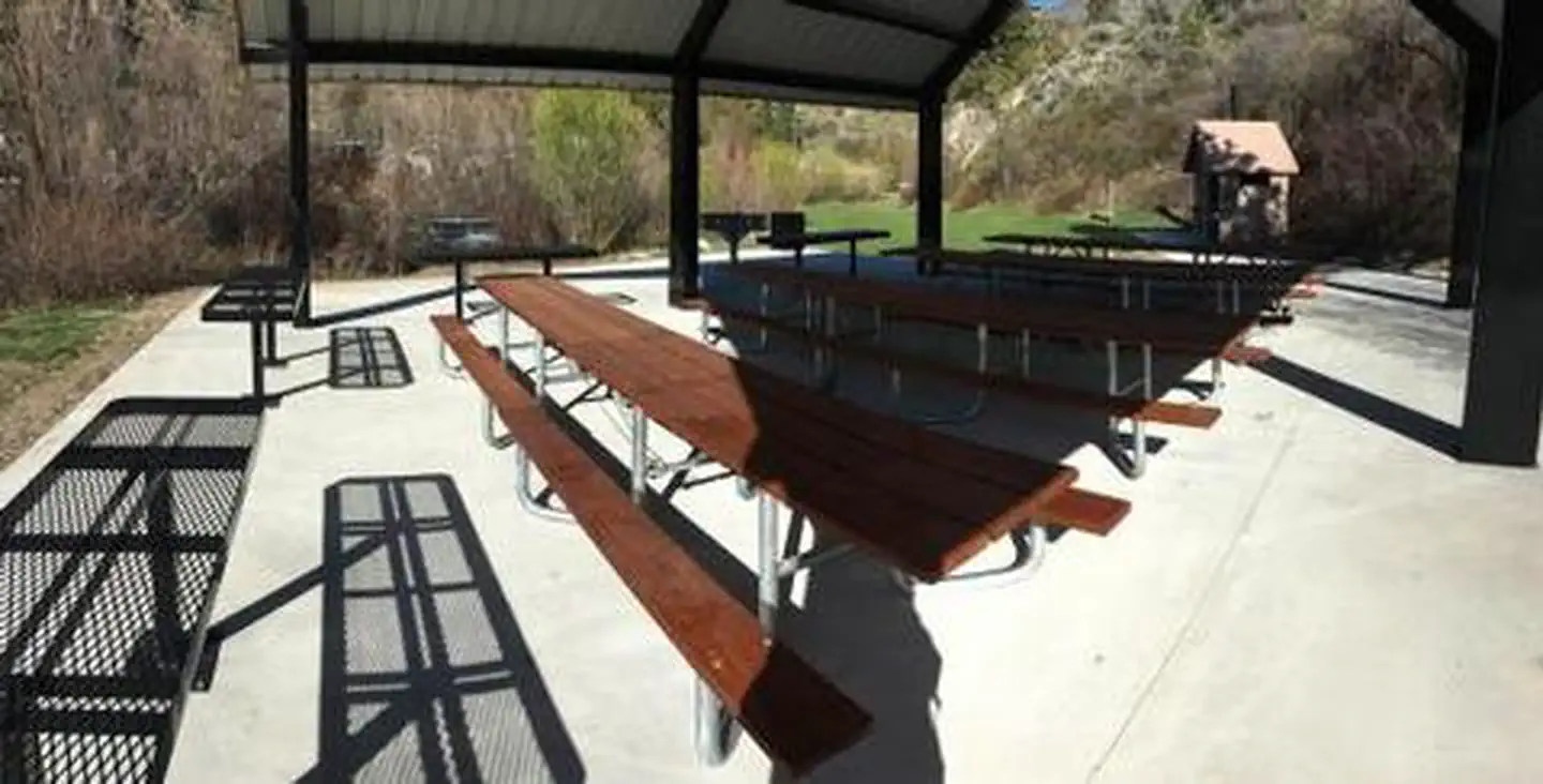
Overview Robie Creek Park is a secluded day use area at the confluence of Mores Creek and Robie Creek on the edge of the Boise National Forest.Recreation The lake provides great boating opportunities with Robie Creek Launch Area a short walk away. The park area has a playground and buoyed swimming area.Facilities Robie Creek Park has a playground facility, six shade shelters each with a table and stand-up grill, three vault toilets, and one group shelter with 10 picnic tables, high-top serving counters, two large grills and a hot coal bin.Natural Features This park is alongside the seasonal Robie Creek in the foothills of the Boise Front. Basalt canyons, ponderosa pines, granite outcrops, and steep loose slopes can be seen from the area.
Photos
ROBIE CREEK PARK GROUP SHELTER 2 — USACEROBIE CREEK PARK GROUP SHELTER — USACEROBIE CREEK PARK GROUP SHELTER 5 — USACEROBIE CREEK PARK — USACE
How to Get There
From the intersection of Warm Springs Road and Highway 21, turn onto northbound Highway 21 towards Idaho City. Continue straight along Highway 21 for 9.2 miles, passing by Lucky Peak Dam and the Forest Service Nursery. Continue straight after crossing the Mores Creek "High Bridge" another 2.3 miles. Approximately mile-marker 21, as the road begins its decent into Mores Creek canyon and the speed limit reduces from 55MPH to 45MPG, prepare to make a hairpin left turn onto Robie Creek Road. Continue straight along Robie Creek Road, passing Mores Creek Park, to Robie Creek Park. Pass by Robie Creek Launch Area on your left and arrive at a large graveled parking area 100 feet down the road on the right. You are now at Robie Creek Park.
Download your route in advance via Gaia, Caltopo, or OSM-based apps.
Recommendations adapt to the current forecast + trail stats. Use them as a starting point — local conditions, your experience, and the time of day you start all matter.
Plan Your Visit to ROBIE CREEK PARK GROUP SHELTER
Heading to ROBIE CREEK PARK GROUP SHELTER? A few things to know before you go:
Reservations: popular sites fill up fast — check Recreation.gov 6 months in advance
Fees: day-use and camping fees vary; check current rates on the official park page
Trash & pack-out: follow Leave No Trace principles
Wildlife: store food in bear boxes where provided; never feed wildlife
Weather: the 5-day forecast above is updated every 6 hours; verify just before you go
Frequently Asked Questions
Do I need a reservation for ROBIE CREEK PARK GROUP SHELTER?
No central reservation system listed for ROBIE CREEK PARK GROUP SHELTER. Check the official page (https://www.recreation.gov/camping/campgrounds/266143) for the latest entry policy and availability.
How many campsites are at ROBIE CREEK PARK GROUP SHELTER?
ROBIE CREEK PARK GROUP SHELTER has 1 campsites. Site amenities (hookups, vehicle limits, ADA access) vary — see the individual campsite pages for details.
How do I get to ROBIE CREEK PARK GROUP SHELTER?
From the intersection of Warm Springs Road and Highway 21, turn onto northbound Highway 21 towards Idaho City. Continue straight along Highway 21 for 9.2 miles, passing by Lucky Peak Dam and the Forest Service Nursery. Continue straight after crossing the Mores Creek "High Bridge" another 2.3 miles. Approximately mile-marker 21, as the road begins its decent into Mores Creek canyon and the speed l…
How do I contact ROBIE CREEK PARK GROUP SHELTER?
You can reach the park at phone: 208-343-0671 or email: [email protected].