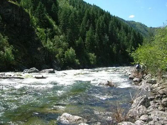
Overview:The Selway River flows through portions of north-central Idaho, within the Selway-Bitterroot Wilderness. The Selway is unique because it is the only river in the United States that received instant inclusion as a wild river, in both the National Wilderness Preservation System and the Wild and Scenic Rivers Sys…
Overview:The Selway River flows through portions of north-central Idaho, within the Selway-Bitterroot Wilderness. The Selway is unique because it is the only river in the United States that received instant inclusion as a wild river, in both the National Wilderness Preservation System and the Wild and Scenic Rivers System. The natural beauty of the canyon, combined with the challenge of the rapids and the outstanding opportunities for solitude, make the Selway one of the highest quality whitewater rivers in the nation. The main fork of the Selway is about 100 miles in length, from the headwaters in the Bitterroot Range of the Rocky Mountains to the confluence with the Lochsa River near Lowell, Idaho. It is a tributary of the Middle Fork of the Clearwater River and drains 106,977 acres of Idaho County. It begins at above 9,000 feet in elevation and ends at more than 1,400 feet. While the river was designated an official recreation river when the Wild and Scenic Rivers Act was passed by the U.S. Congress in 1968, the Idaho Legislature recommended the Selway and its five tributaries as Outstanding Resource Waters in 2002. The relatively new designation commemorates the river's powerful discharge. The river flows for 47 miles through the heart of the wilderness. From the Paradise Launch Site to the Race Creek Take-out, the river drops an average of 28 feet per mile, creating a technical whitewater experience that challenges even expert boaters. Numerous exposed and barely submerged rocks, and stretches of unbroken whitewater with very few quiet recovery pools, require a high level of skill and expertise. Immediately below the confluence with Moose Creek, the increased gradient of 50-feet-per-mile combines with a major increased volume of flow, creating an extremely demanding technical section of the river. Permits are not required outside the control season on the Selway River. Pre-season boaters must be off the river before May 15th. The limited permit season runs annu
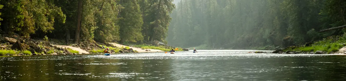
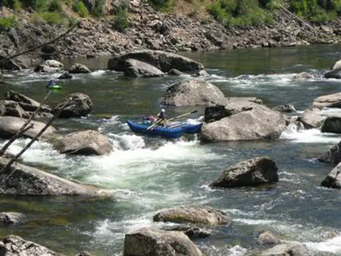
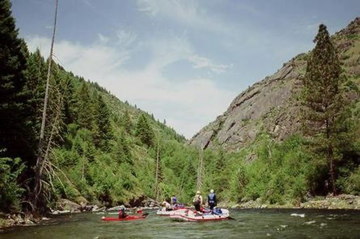
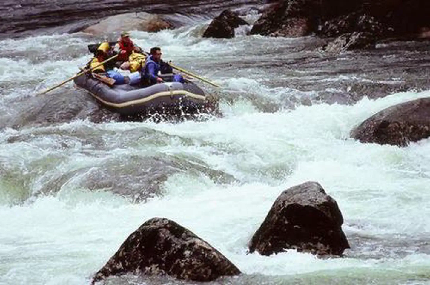
Photos
SELWAY RIVER (4 Rivers)SELWAY RIVER (4 Rivers)SELWAY RIVER (4 Rivers)SELWAY RIVER (4 Rivers)
How to Get There
To reach the Paradise Launch Site from U.S. Highway 93 south of Darby, Montana, take West Fork Road (Montana Highway 473) 14 miles to the West Fork Ranger Station. A half-mile beyond the Ranger Station, take Forest Road 468 west across Nez Perce Pass for 38 miles to Forest Road 6223, which follows the Selway River for 12 miles to the Paradise Launch Site. The 64-mile route is mostly unpaved, very narrow in places and snow may block Nez Perce Pass until early June. Off Highway 12, at the confluence of the Lochsa and Selway Rivers, take Forest Road 223 to the Race Creek Take-out. The road parallels the lower Selway River for 20 miles and ends at the mouth of Race Creek. The first 5 miles are paved and the rest is narrow dirt. The shuttle distance between Paradise Launch and the Race Creek Take-out is 245 miles.
Heading to Selway River (4 Rivers)? A few things to know before you go:
Reservations: popular sites fill up fast — check Recreation.gov 6 months in advance
Fees: day-use and camping fees vary; check current rates on the official park page
Trash & pack-out: follow Leave No Trace principles
Wildlife: store food in bear boxes where provided; never feed wildlife
Weather: the 5-day forecast above is updated every 6 hours; verify just before you go
Frequently Asked Questions
Do I need a reservation for Selway River (4 Rivers)?
No central reservation system listed for Selway River (4 Rivers). Check the official page (https://www.recreation.gov/camping/campgrounds/234624) for the latest entry policy and availability.
How do I get to Selway River (4 Rivers)?
To reach the Paradise Launch Site from U.S. Highway 93 south of Darby, Montana, take West Fork Road (Montana Highway 473) 14 miles to the West Fork Ranger Station. A half-mile beyond the Ranger Station, take Forest Road 468 west across Nez Perce Pass for 38 miles to Forest Road 6223, which follows the Selway River for 12 miles to the Paradise Launch Site. The 64-mile route is mostly unpaved, very …