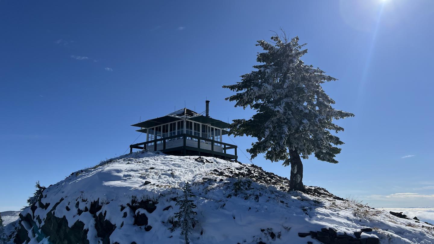
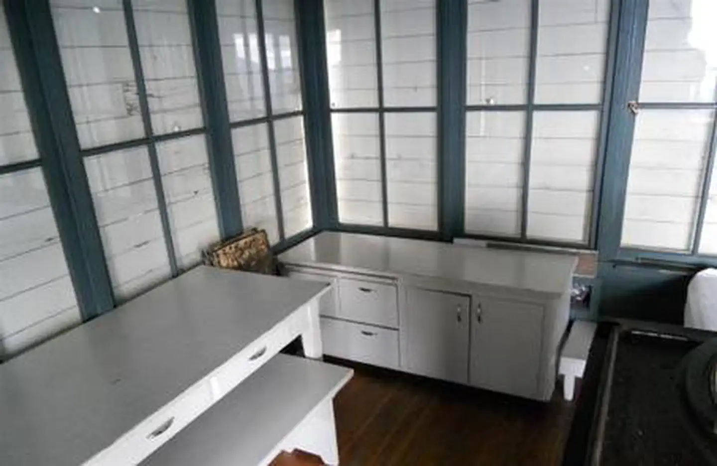
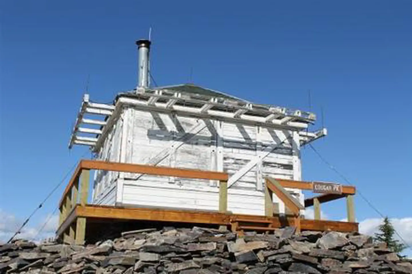
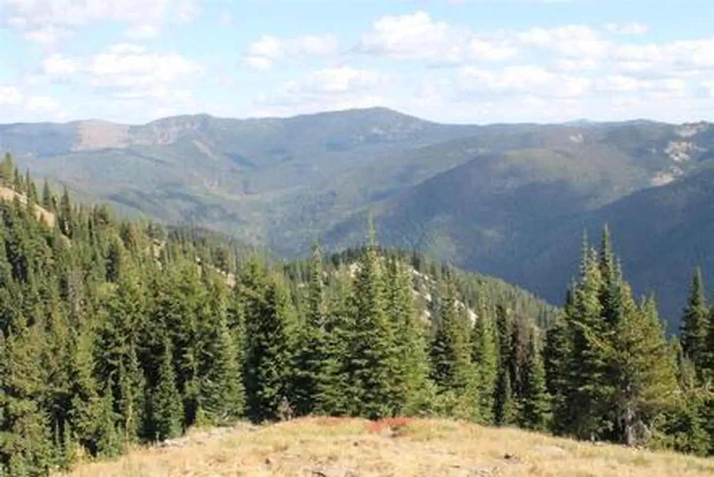
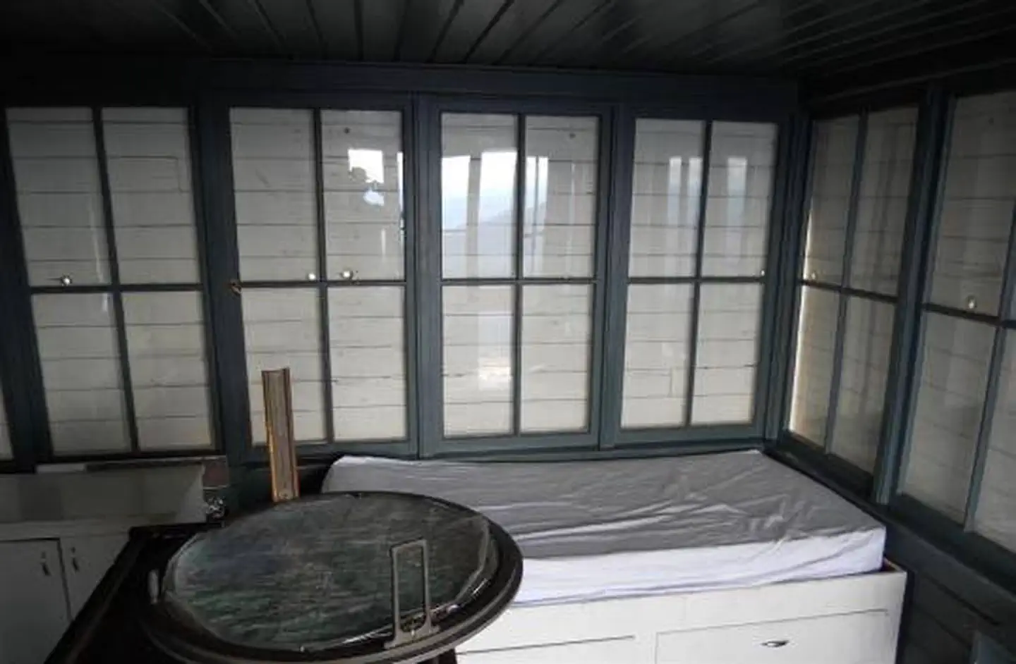
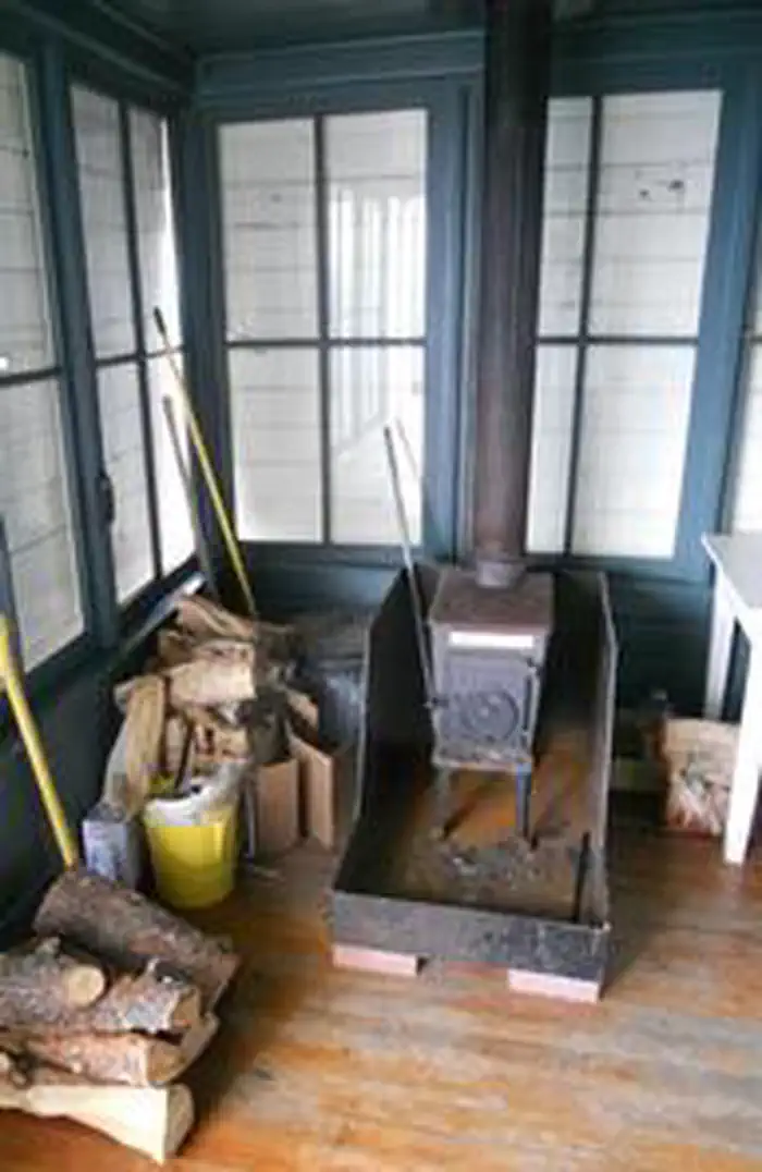
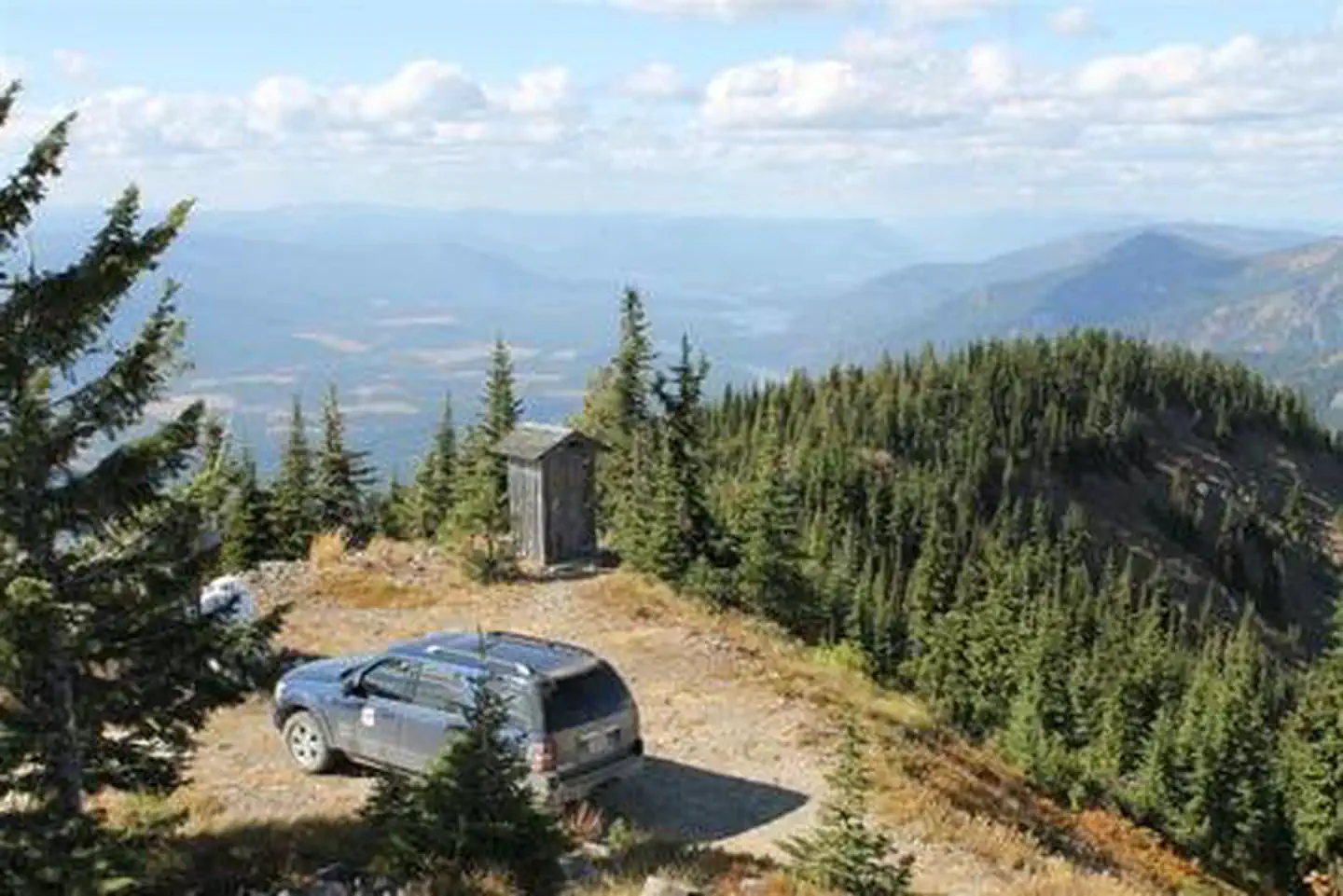
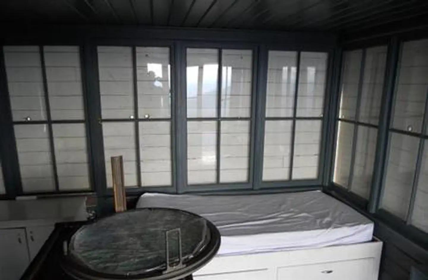
Overview The Cougar Peak Lookout offers guests an opportunity to experience an old-time Forest Service lookout. The tower commands an impressive view of the river valley, the surrounding Cabinet Mountains and the opposing Coeur d'Alene Mountains. The structure is small and is not elevated like many other lookouts. The …
Overview The Cougar Peak Lookout offers guests an opportunity to experience an old-time Forest Service lookout. The tower commands an impressive view of the river valley, the surrounding Cabinet Mountains and the opposing Coeur d'Alene Mountains. The structure is small and is not elevated like many other lookouts. The lookout can be accessed by vehicle, although late spring snow drifts may compromise parts of the road, requiring visitors to hike a short distance. Guests are responsible for their own travel arrangements and safety, and must bring several of their own amenities.Recreation A variety of trails and points of exploration are accessible from the lookout. The Cougar Peak Trail follows the ridge below the lookout and travels towards Vermillion Pass to the northeast. The Clark Fork River is dammed twice within an hour drive of the lookout. The Noxon Rapids and the Cabinet Gorge dams create reservoirs that have become popular spots for boating and fishing for large and smallmouth bass, as well as northern pike.Facilities The 14-by-14 structure is small, but can accommodate up to four people. There is a full bed for two with a mattress pad, a table with two chairs, and a wood stove. No other furnishings are provided. A rustic outhouse with a vault toilet is available about 200 feet from the lookout, at the parking area. Guests will need to bring water for drinking, cooking and cleaning purposes, as well as their own bedding and cots for additional sleeping options, cooking and eating equipment and fuel, cooking and eating utensils, flashlights, matches and toilet paper, among other necessities. There is no water available at the site. There is room for a small tent outside the tower. Guests should be prepared for cold and often wet or damp weather, even if the weather in the valley is warm and dry. Food, garbage and other waste needs to be put away at all times to avoid attracting bears. Firewood may be collected locally for the wood stove.Natural Features The
From Thompson Falls, Montana, travel west on Highway 200 for about a mile. Before crossing the Clark Fork River bridge, turn right onto Blue Slide Road and continue about 8 miles, to the junction with Forest Road 403. Turn right and travel about 14 miles to the lookout. Maps are available online or for purchase by calling the Plains/Thompson Falls Ranger District.
Download your route in advance via Gaia, Caltopo, or OSM-based apps.
Recommendations adapt to the current forecast + trail stats. Use them as a starting point — local conditions, your experience, and the time of day you start all matter.
Plan Your Visit to COUGAR PEAK LOOKOUT
Heading to COUGAR PEAK LOOKOUT? A few things to know before you go:
Reservations: popular sites fill up fast — check Recreation.gov 6 months in advance
Fees: day-use and camping fees vary; check current rates on the official park page
Trash & pack-out: follow Leave No Trace principles
Wildlife: store food in bear boxes where provided; never feed wildlife
Weather: the 5-day forecast above is updated every 6 hours; verify just before you go
Frequently Asked Questions
Do I need a reservation for COUGAR PEAK LOOKOUT?
No central reservation system listed for COUGAR PEAK LOOKOUT. Check the official page (https://www.recreation.gov/camping/campgrounds/234423) for the latest entry policy and availability.
How do I get to COUGAR PEAK LOOKOUT?
From Thompson Falls, Montana, travel west on Highway 200 for about a mile. Before crossing the Clark Fork River bridge, turn right onto Blue Slide Road and continue about 8 miles, to the junction with Forest Road 403. Turn right and travel about 14 miles to the lookout. Maps are available online or for purchase by calling the Plains/Thompson Falls Ranger District.
How do I contact COUGAR PEAK LOOKOUT?
You can reach the park at phone: 406-826-3821 or email: [email protected].