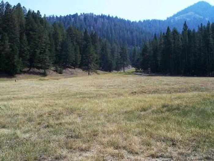
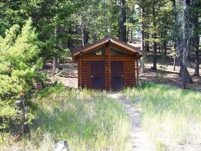
Overview Loristica Group Campground is located in a wooded meadow high in the Lost Creek Range, in eastern Idaho. It sits at an elevation of 8,100 feet. Visitors come to the area for its great trail opportunities and scenic beauty. Recreation Two trailheads can be accessed within a mile of the campground. The Bear-Wet …
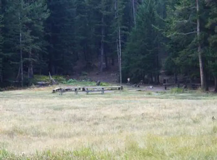
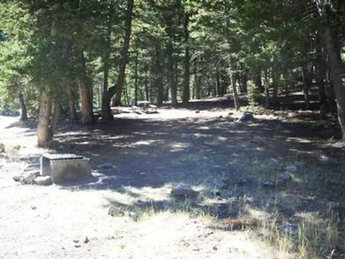
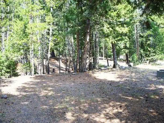
Overview Loristica Group Campground is located in a wooded meadow high in the Lost Creek Range, in eastern Idaho. It sits at an elevation of 8,100 feet. Visitors come to the area for its great trail opportunities and scenic beauty. Recreation Two trailheads can be accessed within a mile of the campground. The Bear-Wet Creek Trail is open to hiking, horseback riding and off-road vehicles. The Long Lost-Wet Creek Trail is a non-motorized trail leading to a high plateau with spectacular views of Little Lost and Big Mountain Ranges. Visitors should watch for bighorn sheep, deer and elk in the Big Creek area, along the trail.Facilities This rustic campground is a group reservation site that can accommodate up to 100 people among seven individual campsites. Though few amenities are present, picnic tables, fire rings and vault toilets are provided. An amphitheater with a campfire circle is also on-site.Natural Features The campground is situated among Douglas fir, lodgepole pine and aspen trees. A variety of wildlife, including deer, elk, bears, foxes and coyotes, makes its home in the surrounding area.
Photos
LORISTICA GROUP CAMPGROUNDLORISTICA GROUP CAMPGROUNDLORISTICA GROUP CAMPGROUNDLORISTICA GROUP CAMPGROUNDLORISTICA GROUP CAMPGROUND
How to Get There
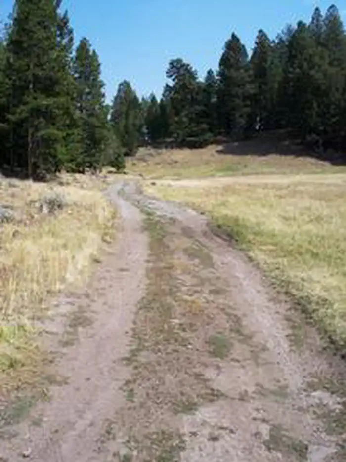
From Mackay, Idaho, travel 6.5 miles south on Highway 93. Turn left at the Forest Access/Pass Creek sign. Drive approximately 9 miles to Pass Creek Summit and turn left at the sign for Loristica. Proceed approximately 1 mile, then bear right at the sign to the campground gate.
Download your route in advance via Gaia, Caltopo, or OSM-based apps.
Recommendations adapt to the current forecast + trail stats. Use them as a starting point — local conditions, your experience, and the time of day you start all matter.
Plan Your Visit to LORISTICA GROUP CAMPGROUND
Heading to LORISTICA GROUP CAMPGROUND? A few things to know before you go:
Reservations: popular sites fill up fast — check Recreation.gov 6 months in advance
Fees: day-use and camping fees vary; check current rates on the official park page
Trash & pack-out: follow Leave No Trace principles
Wildlife: store food in bear boxes where provided; never feed wildlife
Weather: the 5-day forecast above is updated every 6 hours; verify just before you go
Frequently Asked Questions
Do I need a reservation for LORISTICA GROUP CAMPGROUND?
No central reservation system listed for LORISTICA GROUP CAMPGROUND. Check the official page (https://www.recreation.gov/camping/campgrounds/234312) for the latest entry policy and availability.
How many campsites are at LORISTICA GROUP CAMPGROUND?
LORISTICA GROUP CAMPGROUND has 1 campsites. Site amenities (hookups, vehicle limits, ADA access) vary — see the individual campsite pages for details.
How do I get to LORISTICA GROUP CAMPGROUND?
From Mackay, Idaho, travel 6.5 miles south on Highway 93. Turn left at the Forest Access/Pass Creek sign. Drive approximately 9 miles to Pass Creek Summit and turn left at the sign for Loristica. Proceed approximately 1 mile, then bear right at the sign to the campground gate.