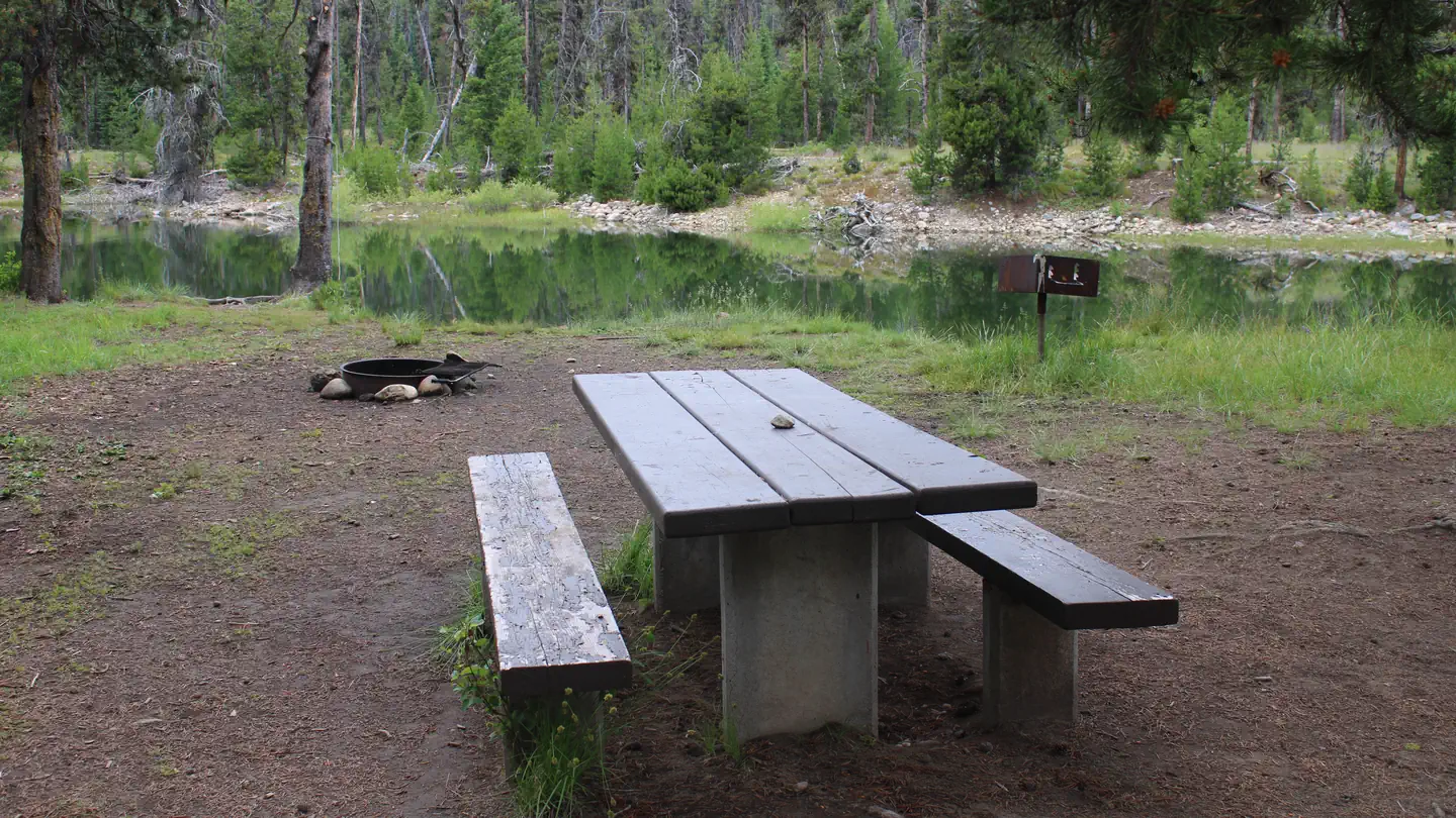
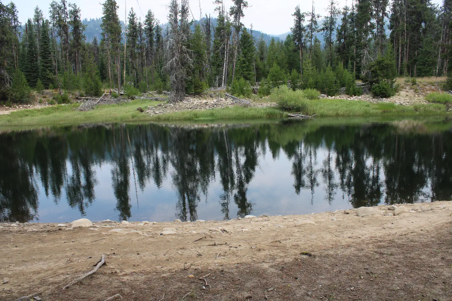
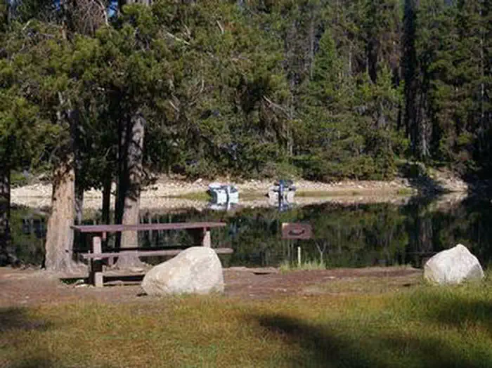
Overview River Side Campground is located along the Deadwood River at the north end of scenic Deadwood Reservoir at an elevation of 5,300 feet. Boating, fishing and hiking are popular activities. Recreation Because of its remote location, Deadwood Reservoir is quiet and unpopulated, making for great fishing for Chinook…
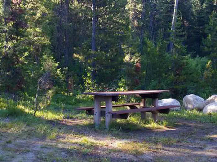
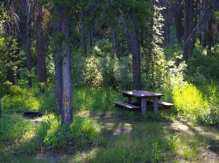
Overview River Side Campground is located along the Deadwood River at the north end of scenic Deadwood Reservoir at an elevation of 5,300 feet. Boating, fishing and hiking are popular activities. Recreation Because of its remote location, Deadwood Reservoir is quiet and unpopulated, making for great fishing for Chinook and Kokanee salmon, and rainbow and cutthroat trout. Boating, water skiing, canoeing and kayaking are popular on the lake. A boat ramp is located about 2 miles away at Cozy Cove Campground.Many trails for hiking, mountain biking, horseback and off-road vehicle riding are in the area. Facilities This primitive campground offers waterfront sites with direct river access. A vault toilet is located up a hill above the campground. Drinking water is provided. Roads and parking spurs within the site are dirt. Natural Features The campground is situated in a mixed-growth pine forest, which offers plentiful shade. Summer wildflowers are abundant. The entire campground affords views of the river.
Photos
View of deadwood River — Akira ByrneRIVER SIDE (ID - BOISE)RIVER SIDE (ID - BOISE)RIVER SIDE (ID - BOISE)RIVER SIDE (ID - BOISE)
How to Get There
From Boise, Idaho, take State Highway 55 north. At Banks, take Highway 17/Banks-Lowman Highway east to Lowman. Turn left on Highway 21. Continue along Highway 17 over Banner Summit. Turn west on Forest Road 579. Continue on FR 579 to Deadwood Resevoir.
Download your route in advance via Gaia, Caltopo, or OSM-based apps.
Recommendations adapt to the current forecast + trail stats. Use them as a starting point — local conditions, your experience, and the time of day you start all matter.
Plan Your Visit to RIVER SIDE (ID - BOISE)
Heading to RIVER SIDE (ID - BOISE)? A few things to know before you go:
Reservations: popular sites fill up fast — check Recreation.gov 6 months in advance
Fees: day-use and camping fees vary; check current rates on the official park page
Trash & pack-out: follow Leave No Trace principles
Wildlife: store food in bear boxes where provided; never feed wildlife
Weather: the 5-day forecast above is updated every 6 hours; verify just before you go
Frequently Asked Questions
Do I need a reservation for RIVER SIDE (ID - BOISE)?
No central reservation system listed for RIVER SIDE (ID - BOISE). Check the official page (https://www.recreation.gov/camping/campgrounds/234096) for the latest entry policy and availability.
How many campsites are at RIVER SIDE (ID - BOISE)?
RIVER SIDE (ID - BOISE) has 8 campsites. Site amenities (hookups, vehicle limits, ADA access) vary — see the individual campsite pages for details.
How do I get to RIVER SIDE (ID - BOISE)?
From Boise, Idaho, take State Highway 55 north. At Banks, take Highway 17/Banks-Lowman Highway east to Lowman. Turn left on Highway 21. Continue along Highway 17 over Banner Summit. Turn west on Forest Road 579. Continue on FR 579 to Deadwood Resevoir.