Overview Black Rock Campground is located approximately 20 miles from Idaho City, on the North Fork Boise River, at an elevation of 4,300 feet. Visitors enjoy fishing, swimming and exploring local trails. Recreation The North Fork Boise River offers rainbow trout fishing in a beautiful natural setting. Many swimming ho…
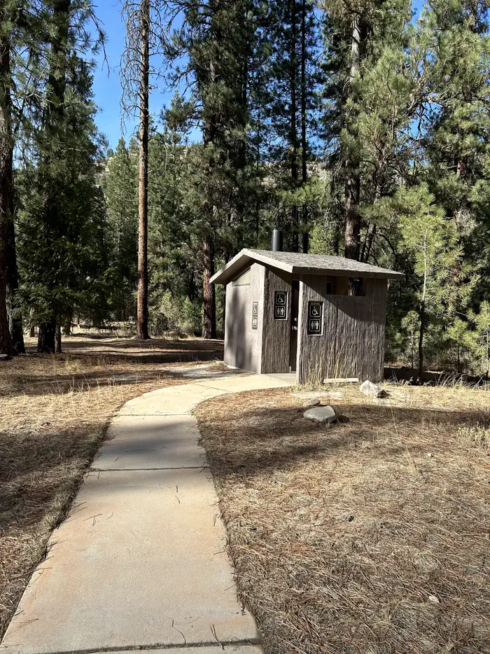
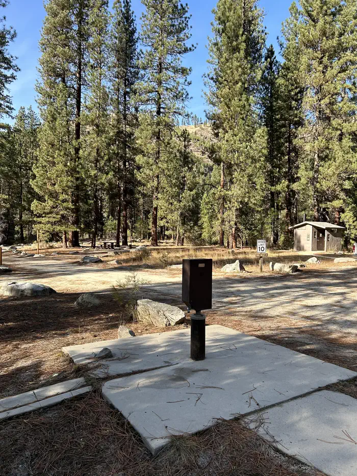
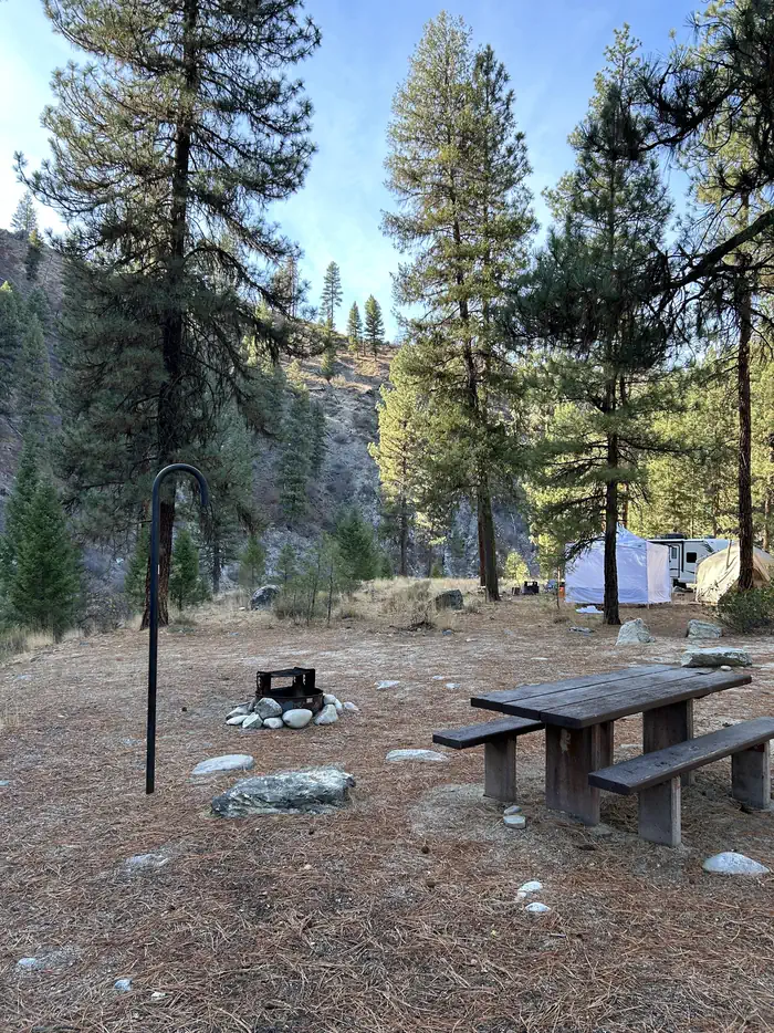
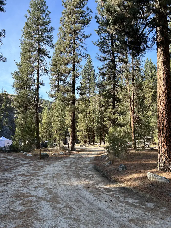
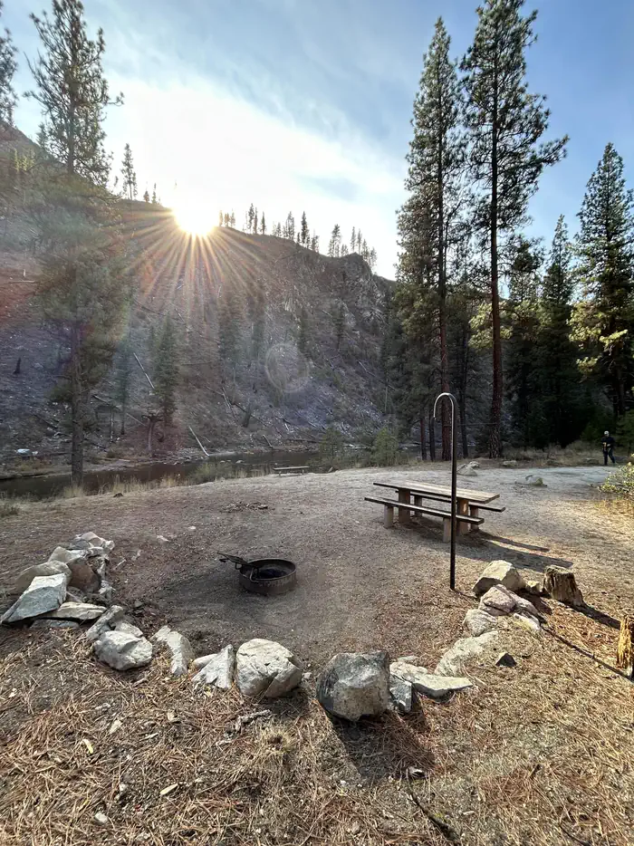
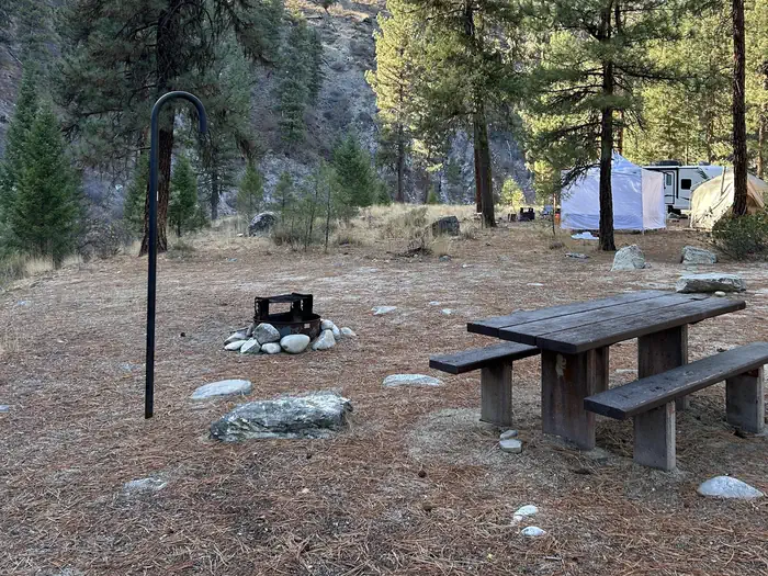
Overview Black Rock Campground is located approximately 20 miles from Idaho City, on the North Fork Boise River, at an elevation of 4,300 feet. Visitors enjoy fishing, swimming and exploring local trails. Recreation The North Fork Boise River offers rainbow trout fishing in a beautiful natural setting. Many swimming holes can be found within a short distance of the campground. Numerous trail opportunities for hiking, mountain biking, horseback riding and dirt biking can be found in the vicinity. Facilities The campground contains 11 single campsites, each equipped with a picnic table, campfire ring, and lantern hook. Vault toilets, and drinking water are provided within the campground. Roads and parking spurs are dirt. Garbage Collection is not provided. Natural Features The campground sits on the banks of the North Fork Boise River, where Ponderosa Pines tower over the area. Most campsites have partial shade, but little privacy from other campers. A variety of wildlife makes its home around the campground. Contact Info This location is unstaffed. To speak with our main office for general information, please call: (208) 392-3700.
Photos
Bench in front of river — USFSAccessible water pump — USFSCampsite with picnic table, fire ring, and lantern hook — USFSLong dirt road through campground — USFSCampsite with picnic table, fire ring, and lantern hook. — USFSCampsite with lantern hook, fire ring, and picnic table — USFS
How to Get There
From Idaho City, travel north on State Highway 21 for about two miles, to the Granite Creek/Rabbit Creek Road No. 327. Turn right and travel east for 18 miles on Road No. 327, to the campground. Be advised- FS road 327 is a dirt road that is only graded a couple of times a year. It can get very rough with washboarding and potholes.
Download your route in advance via Gaia, Caltopo, or OSM-based apps.
Recommendations adapt to the current forecast + trail stats. Use them as a starting point — local conditions, your experience, and the time of day you start all matter.
Plan Your Visit to BLACK ROCK
Heading to BLACK ROCK? A few things to know before you go:
Reservations: popular sites fill up fast — check Recreation.gov 6 months in advance
Fees: day-use and camping fees vary; check current rates on the official park page
Trash & pack-out: follow Leave No Trace principles
Wildlife: store food in bear boxes where provided; never feed wildlife
Weather: the 5-day forecast above is updated every 6 hours; verify just before you go
Frequently Asked Questions
Do I need a reservation for BLACK ROCK?
No central reservation system listed for BLACK ROCK. Check the official page (https://www.recreation.gov/camping/campgrounds/234007) for the latest entry policy and availability.
How many campsites are at BLACK ROCK?
BLACK ROCK has 11 campsites. Site amenities (hookups, vehicle limits, ADA access) vary — see the individual campsite pages for details.
How do I get to BLACK ROCK?
From Idaho City, travel north on State Highway 21 for about two miles, to the Granite Creek/Rabbit Creek Road No. 327. Turn right and travel east for 18 miles on Road No. 327, to the campground. Be advised- FS road 327 is a dirt road that is only graded a couple of times a year. It can get very rough with washboarding and potholes.
How do I contact BLACK ROCK?
You can reach the park at phone: 208-392-6681 or email: [email protected].