Overview Shafer Butte is located atop the scenic Boise Ridge Mountains, near Bogus Basin Mountain Recreation Area, at an elevation of 7,000 feet. Visitors enjoy hiking and biking on various trails in the surrounding area, and simply relaxing and taking in the area's beautiful views.Recreation Popular activities in the …
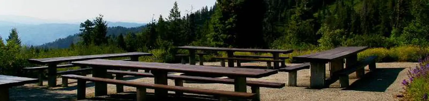
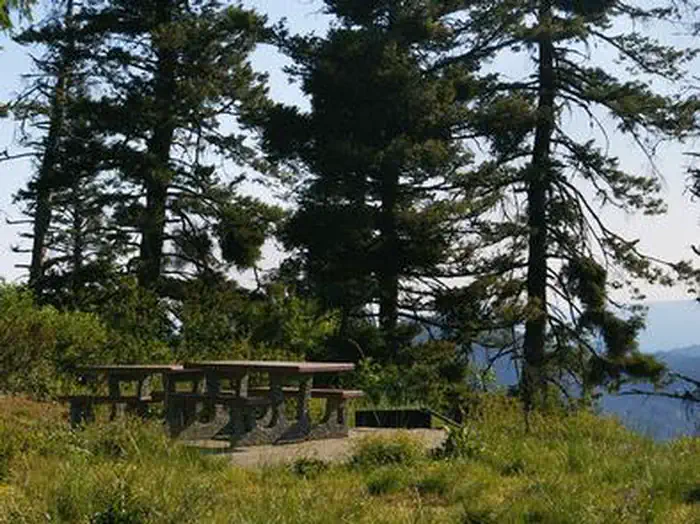
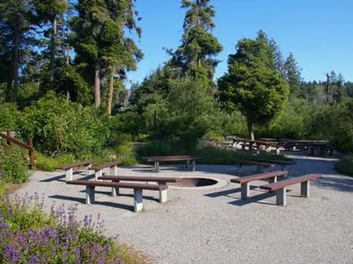
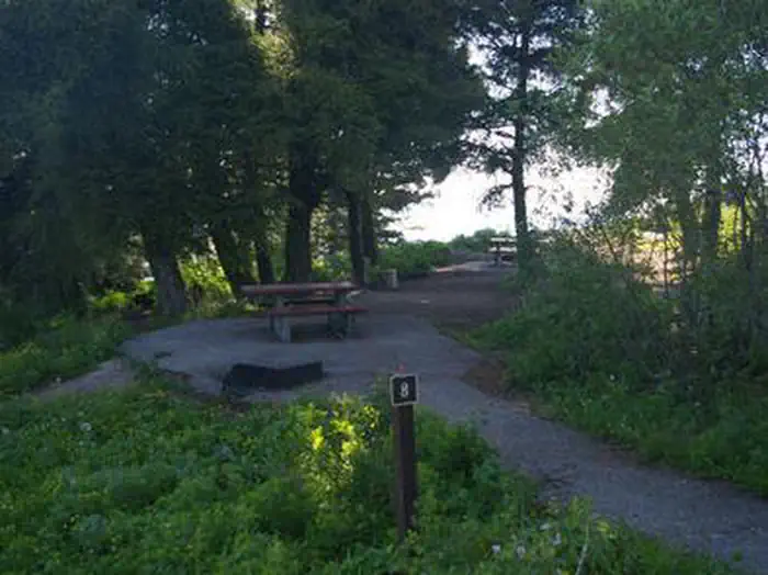
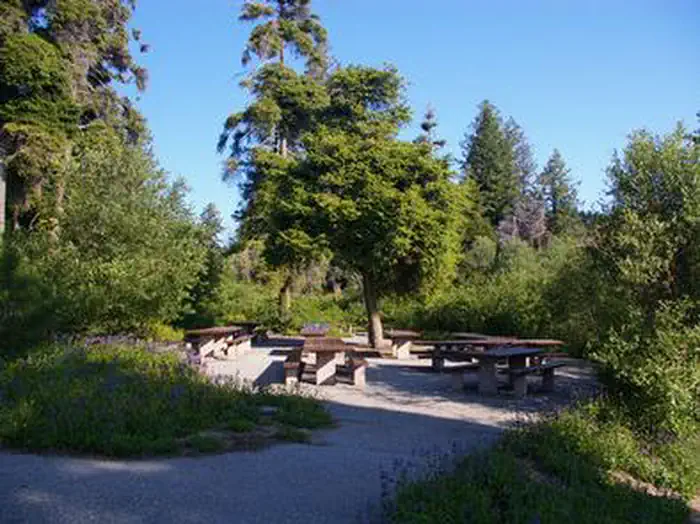
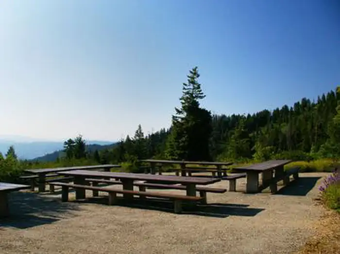
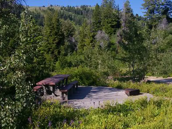
Overview Shafer Butte is located atop the scenic Boise Ridge Mountains, near Bogus Basin Mountain Recreation Area, at an elevation of 7,000 feet. Visitors enjoy hiking and biking on various trails in the surrounding area, and simply relaxing and taking in the area's beautiful views.Recreation Popular activities in the area include hiking and mountain biking, the Mores Mountain Trail begins in the campground. This 2-mile interpretive nature trail is family friendly. Facilities Shafer Butte contains single-family tent campsites and two day-use, group picnic areas, all of which are accessible. Sites are equipped with picnic tables and campfire rings, and many of the overnight campsites have tent pads. The overnight sites are walk-in and are clustered close together, with limited vegetation screening for privacy. Accessible vault restrooms are provided, but there is no electricity. Parking spurs and pathways within the campground are paved, and each site can be accessed via a short walking path from the parking area.Natural Features Shafer Butte offers scenic views of Deer Point, Mores Mountain and Shafer Butte summits, as well as the expansive valley below. The campground is situated among Douglas fir and aspen trees, which offer partial shade in most sites. Wildlife and summer wildflowers are abundant in the area. Nearby Attractions Bogus Basin Mountain Recreation Area is close by and offers more hiking and biking trails, as well as other summer activities, check out this link for more information http://bogusbasin.org. The Ridge to River trail system is near by as well, check out this link for more information http://www.ridgetorivers.org
Photos
The views are amazing from your site that have picnic tables, campfire rings, and many of the overnight campsites have tent pads. — USDA Forest ServiceWhile relaxing at the group campfire area you can take in the beautiful views, trees, and wildlife in the area. — USDA Forest ServicePartly shaded areas provide camping with picnic table, fire pit and tent pads for your stay. — USDA Forest ServicePartial shade in this group campfire area is surrounded by green vegetation with paved walkways to the sites. — USDA Forest ServiceBeautiful views from mountain tops overlooking the valley below with hiking and biking activities available. — USDA Forest ServiceRelax with a picnic, table, firepit, paved walkways with fir, aspen trees and wildflowers all around you. — USDA Forest Service
How to Get There
From Boise, Idaho, travel along Bogus Basin Road for approximately 20 miles. The last three miles are on a gravel road. Turn right (east) on the signed gravel road and travel just over a mile to the campground and picnic area.
Download your route in advance via Gaia, Caltopo, or OSM-based apps.
Recommendations adapt to the current forecast + trail stats. Use them as a starting point — local conditions, your experience, and the time of day you start all matter.
Plan Your Visit to SHAFER BUTTE
Heading to SHAFER BUTTE? A few things to know before you go:
Reservations: popular sites fill up fast — check Recreation.gov 6 months in advance
Fees: day-use and camping fees vary; check current rates on the official park page
Trash & pack-out: follow Leave No Trace principles
Wildlife: store food in bear boxes where provided; never feed wildlife
Weather: the 5-day forecast above is updated every 6 hours; verify just before you go
Frequently Asked Questions
Do I need a reservation for SHAFER BUTTE?
No central reservation system listed for SHAFER BUTTE. Check the official page (https://www.recreation.gov/camping/campgrounds/232218) for the latest entry policy and availability.
How many campsites are at SHAFER BUTTE?
SHAFER BUTTE has 9 campsites. Site amenities (hookups, vehicle limits, ADA access) vary — see the individual campsite pages for details.
How do I get to SHAFER BUTTE?
From Boise, Idaho, travel along Bogus Basin Road for approximately 20 miles. The last three miles are on a gravel road. Turn right (east) on the signed gravel road and travel just over a mile to the campground and picnic area.