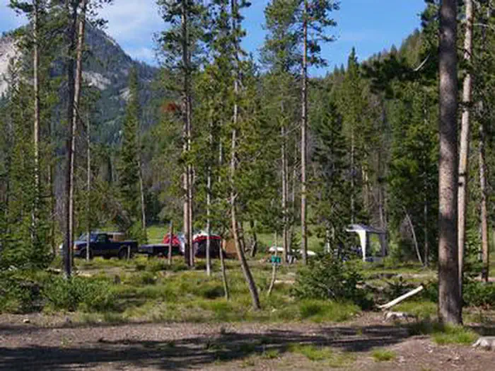
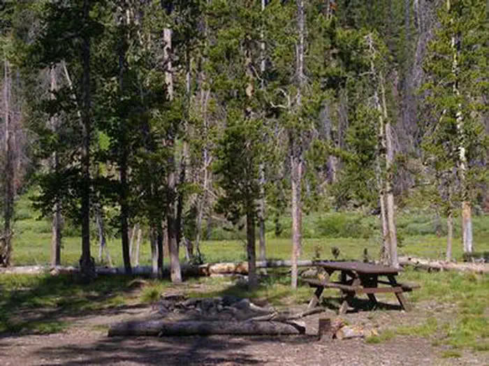
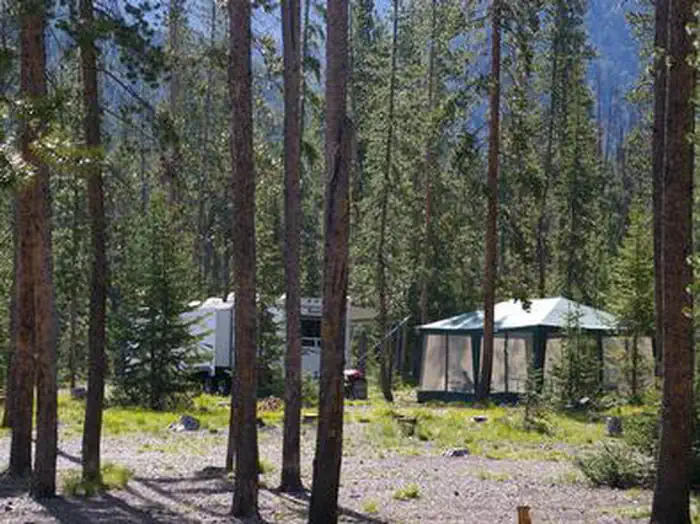
Overview Chemeketan Campground sits near the headwaters of the Salmon River, at the foot of the Sawtooth Mountain Range.Recreation This site is part of the Sawtooth National Recreation Area, where outdoor activities abound. The Salmon River offers excellent fishing for rainbow trout, westslope cutthroat trout and occas…
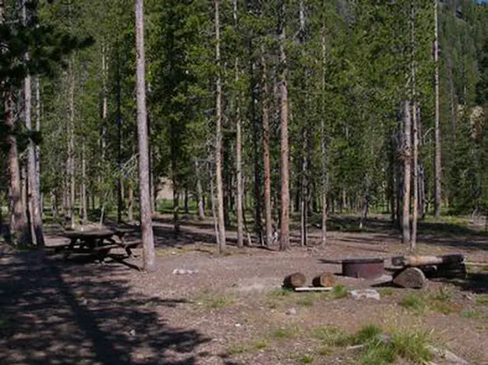
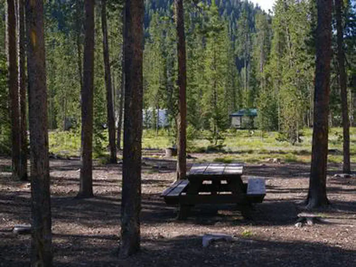
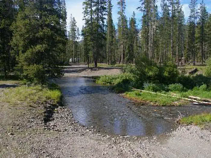
Overview Chemeketan Campground sits near the headwaters of the Salmon River, at the foot of the Sawtooth Mountain Range.Recreation This site is part of the Sawtooth National Recreation Area, where outdoor activities abound. The Salmon River offers excellent fishing for rainbow trout, westslope cutthroat trout and occasional hybrid cutbows and bull trout. The Idaho Centennial Trail can be easily accessed nearby. Alturas, Perkins, Pettit and Yellowbelly Lakes are nearby, with fishing, canoeing and hiking. Facilities This campground is reached via dirt road, however visitors must ford a stream before reaching the site. Trucks, RVs and cars with higher clearance should have no trouble crossing the stream. The campground offers one group site than can accommodate up to 150 people. If it is not reserved, it is available as a group site or individual sites on a first come, first served basis. Vault toilets, tables and grills are provided. Natural Features Chemeketan is a secluded, peaceful campground situated among lodgepole pines, which provide partial shade. Rugged peaks of the Sawtooth Range surround the area and the Salmon River flows at the campground's edge. Temperatures are cool, with an average summer high of 78 degrees and a low of 40 degrees. Nearby Attractions The Sawtooth National Recreation Area offers a myriad of excellent hiking and biking opportunities, and an estimated 750 miles of trails crisscross the valley and surrounding mountains. Popular area events include an Arts and Crafts Fair in July, and Wagon Days, Salmon Festival, Quilt Fair and Fireman's Ball in September.
From Stanley, Idaho, take Highway 75 south. Turn southwest off highway onto a dirt road located between mile markers 163 and 162. The campground is located 4 miles beyond the turnoff. Fording a stream is necessary to access the campground.
Download your route in advance via Gaia, Caltopo, or OSM-based apps.
Recommendations adapt to the current forecast + trail stats. Use them as a starting point — local conditions, your experience, and the time of day you start all matter.
Plan Your Visit to CHEMEKETAN CAMPGROUND
Heading to CHEMEKETAN CAMPGROUND? A few things to know before you go:
Reservations: popular sites fill up fast — check Recreation.gov 6 months in advance
Fees: day-use and camping fees vary; check current rates on the official park page
Trash & pack-out: follow Leave No Trace principles
Wildlife: store food in bear boxes where provided; never feed wildlife
Weather: the 5-day forecast above is updated every 6 hours; verify just before you go
Frequently Asked Questions
Do I need a reservation for CHEMEKETAN CAMPGROUND?
No central reservation system listed for CHEMEKETAN CAMPGROUND. Check the official page (https://www.recreation.gov/camping/campgrounds/232028) for the latest entry policy and availability.
How do I get to CHEMEKETAN CAMPGROUND?
From Stanley, Idaho, take Highway 75 south. Turn southwest off highway onto a dirt road located between mile markers 163 and 162. The campground is located 4 miles beyond the turnoff. Fording a stream is necessary to access the campground.
How do I contact CHEMEKETAN CAMPGROUND?
You can reach the park at phone: 928-537-8888 or email: [email protected].