Overview Six shady sites among the trees offer relief from the summer heat. This location is available on a first-come, first-served basis only. Visitors are required to physically arrive at the campground to purchase and claim a site. Once on-site, you may be able to pay for your campsite(s) by scanning a QR code usin…
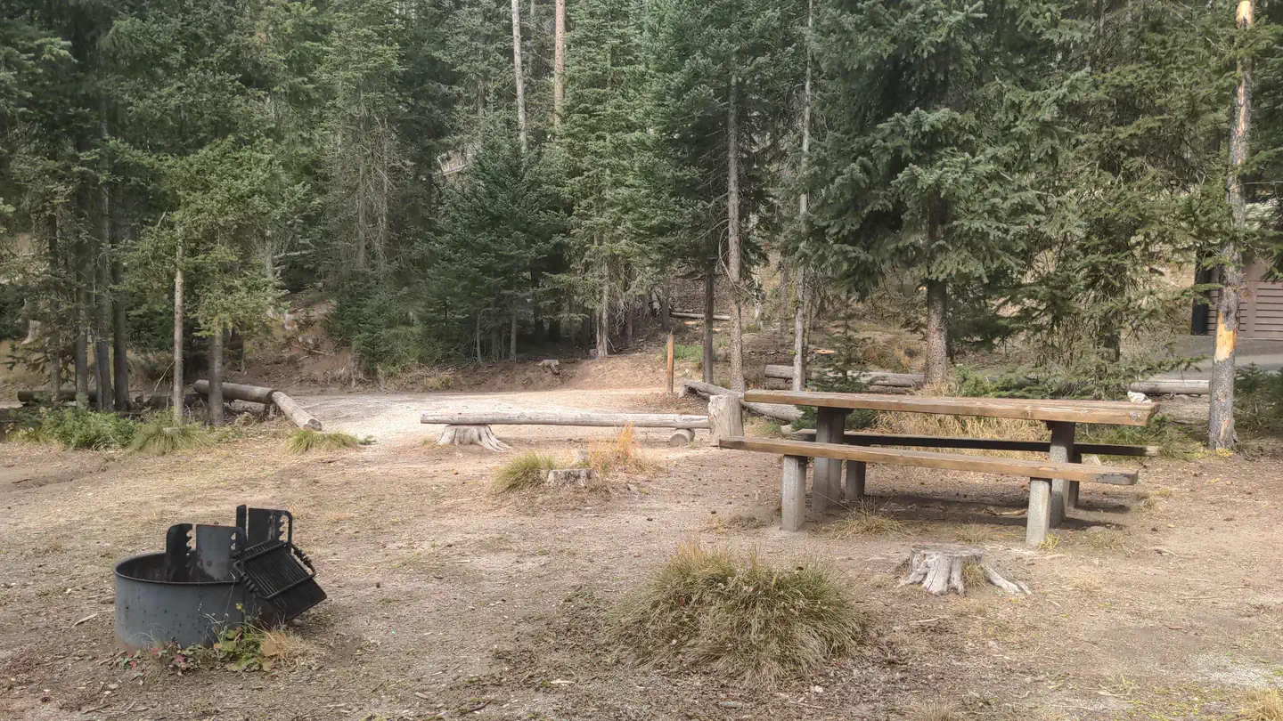
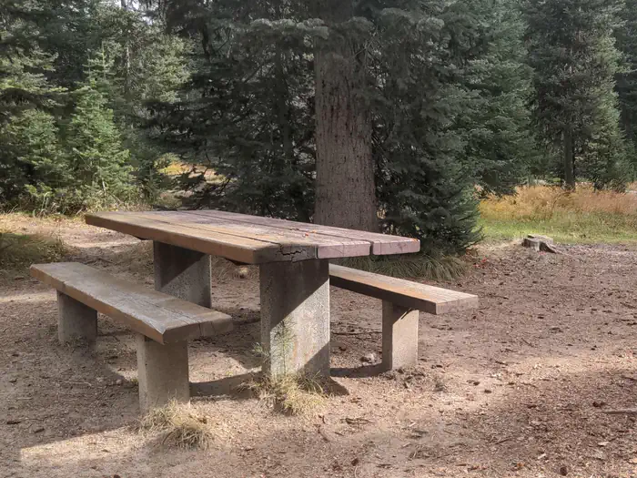
Overview Six shady sites among the trees offer relief from the summer heat. This location is available on a first-come, first-served basis only. Visitors are required to physically arrive at the campground to purchase and claim a site. Once on-site, you may be able to pay for your campsite(s) by scanning a QR code using the Recreation.gov mobile app, and the Scan and Pay feature. If this option is available, you will need to first download the free Recreation.gov mobile app https://www.recreation.gov/mobile-app prior to your arrival as some remote areas have limited or no cellular service. Recreation Trail #222 leaves from the campground and there is trail access to the Idaho Centennial Trail via the Jeanette Creek Trail #140. This area is also within walking distance of Burgdorf Hot Springs, developed hot pools open to the public. The historic towns of Secesh and Warren, and the Warren Guard Station, are also within driving distance. Facilities Six sites are spaced among the trees, with picnic tables and fire rings at each. All sites are available on a first come, first serve basis. Large camp trailers and motorhomes are not recommended; pace is tight. There is an accessible vault toilet and there is no available drinking water. Water is available at nearby Burgdorf Campground. There are no hookups and no trash receptacles; please pack out your trash. Natural Features Forested campground at an approximate elevation of 6,144 feet. Summer days are typically warm and nights are cool.
Photos
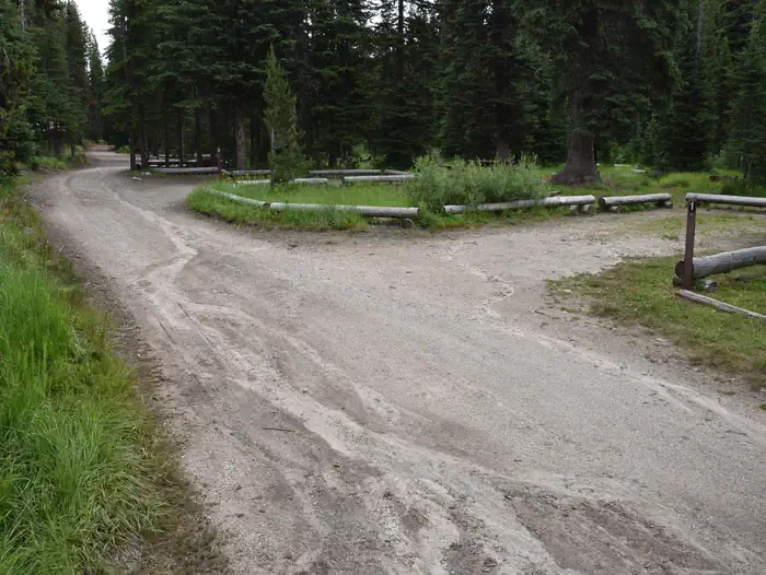
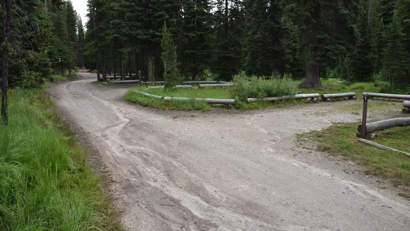
Jeanette campsite with picnic table — USFSAccess road with parking areas for campsites along the right-hand side of the road. — USFSNarrow access road into Jeanette Campground with parking spurs on the right. — USFS
How to Get There
Travel approximately 30 miles north of McCall on paved Warren Wagon Road. Turn left on Forest Road #246 and travel 3 miles on gravel road to campground.
Download your route in advance via Gaia, Caltopo, or OSM-based apps.
Recommendations adapt to the current forecast + trail stats. Use them as a starting point — local conditions, your experience, and the time of day you start all matter.
Plan Your Visit to Jeanette
Heading to Jeanette? A few things to know before you go:
Reservations: popular sites fill up fast — check Recreation.gov 6 months in advance
Fees: day-use and camping fees vary; check current rates on the official park page
Trash & pack-out: follow Leave No Trace principles
Wildlife: store food in bear boxes where provided; never feed wildlife
Weather: the 5-day forecast above is updated every 6 hours; verify just before you go
Frequently Asked Questions
Do I need a reservation for Jeanette?
No central reservation system listed for Jeanette. Check the official page (https://www.recreation.gov/camping/campgrounds/10176158) for the latest entry policy and availability.
How many campsites are at Jeanette?
Jeanette has 7 campsites. Site amenities (hookups, vehicle limits, ADA access) vary — see the individual campsite pages for details.
How do I get to Jeanette?
Travel approximately 30 miles north of McCall on paved Warren Wagon Road. Turn left on Forest Road #246 and travel 3 miles on gravel road to campground.
How do I contact Jeanette?
You can reach the park at phone: N/A or email: N/A.