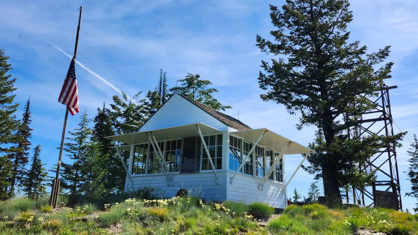
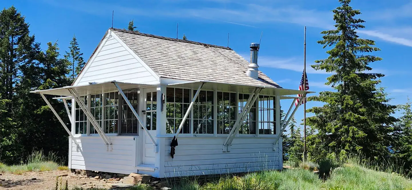
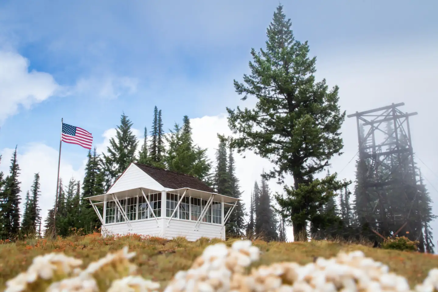
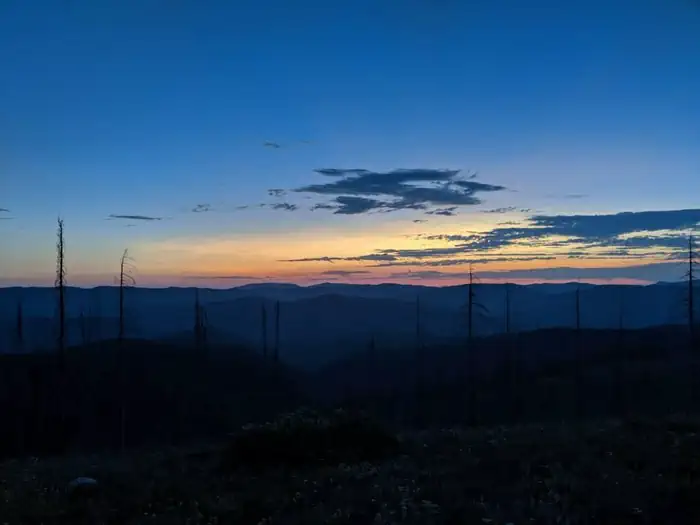
Overview Spyglass Lookout Ground House is located on Spyglass Peak, in the heart of the Coeur d'Alene River Ranger District, Idaho Panhandle National Forests. It's approximately 2.5 miles east and slightly south, as the crow flies, of the Magee Historic Site. The Spyglass Lookout site is listed on the National Historic…
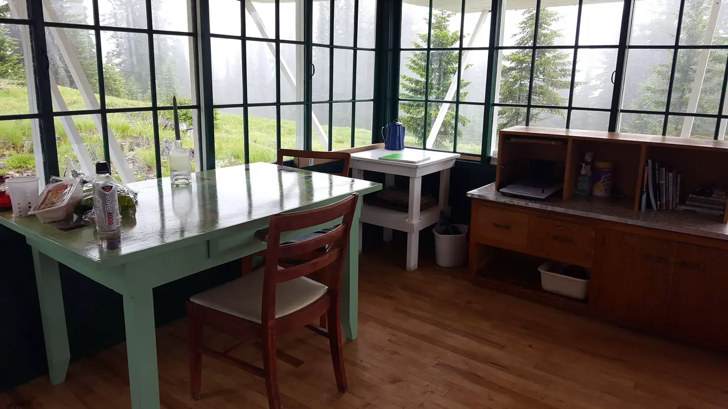
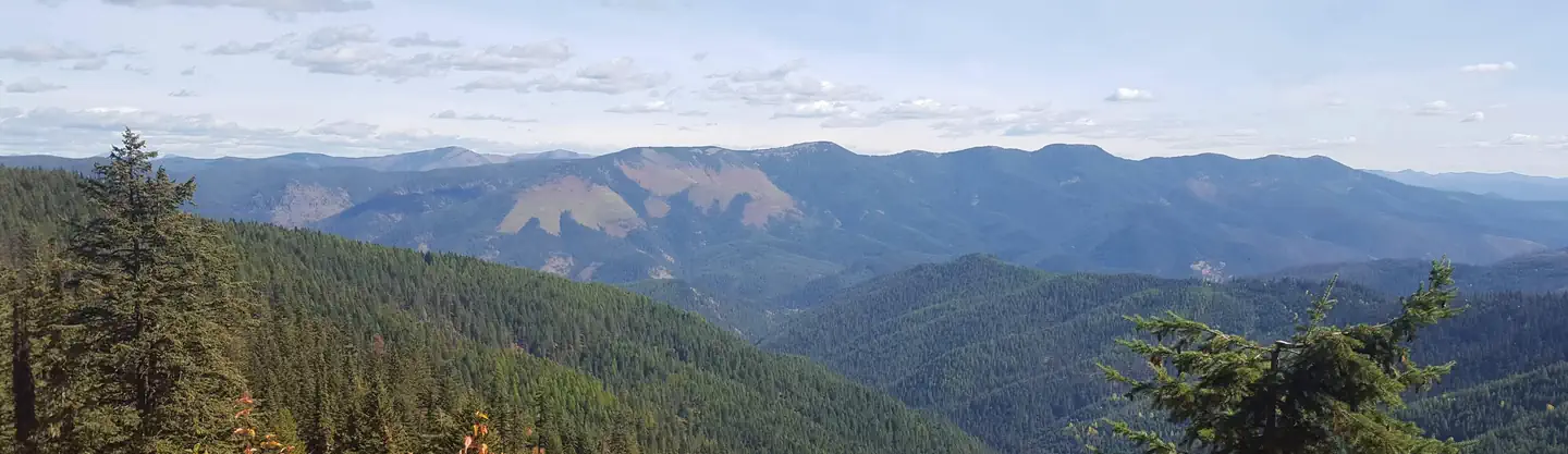
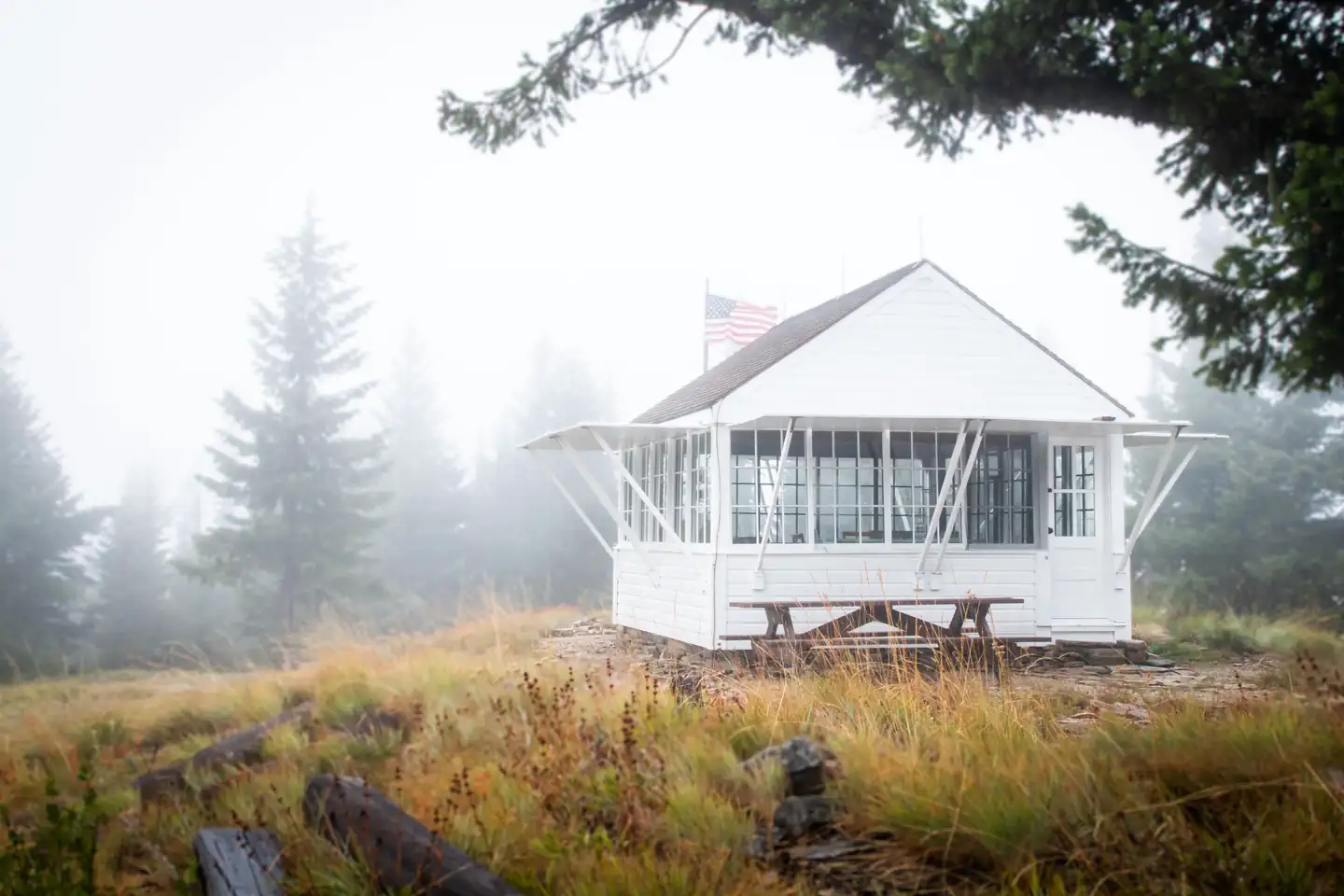
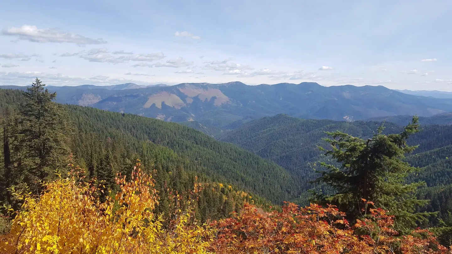
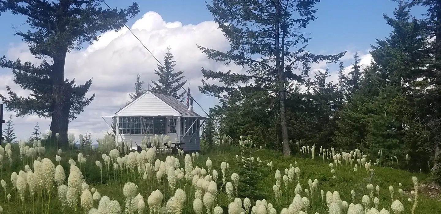
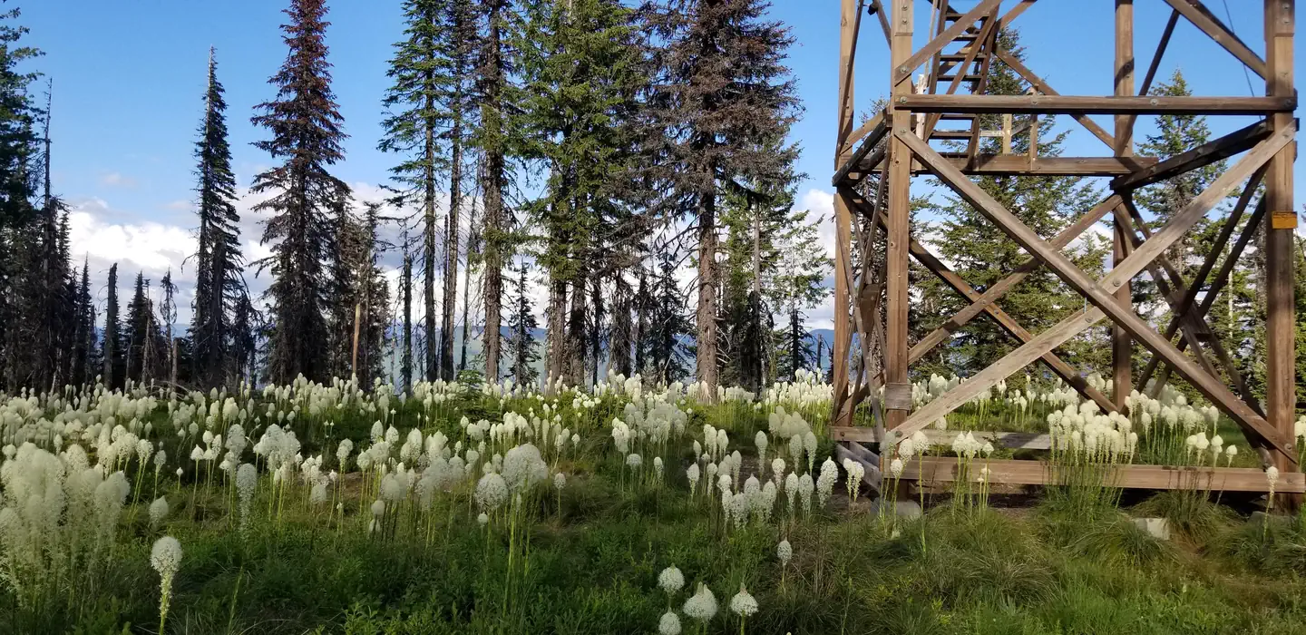
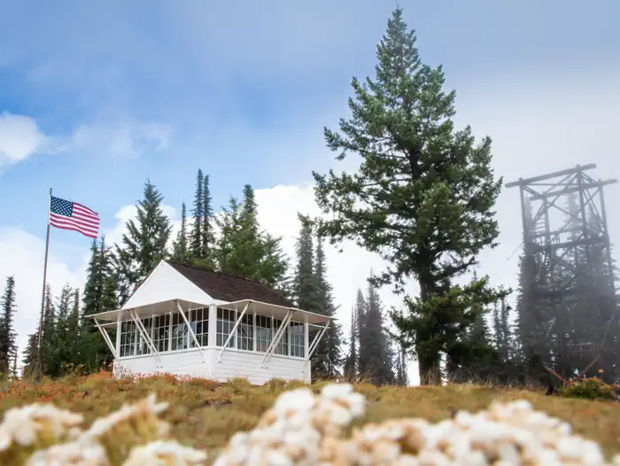
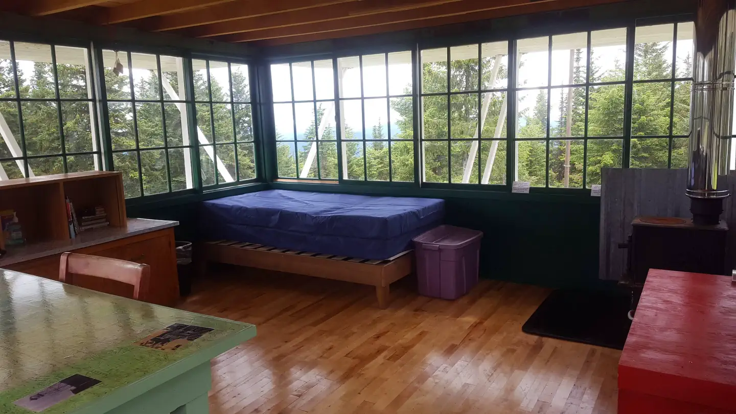
Overview Spyglass Lookout Ground House is located on Spyglass Peak, in the heart of the Coeur d'Alene River Ranger District, Idaho Panhandle National Forests. It's approximately 2.5 miles east and slightly south, as the crow flies, of the Magee Historic Site. The Spyglass Lookout site is listed on the National Historic Lookout Register. It was first used as a patrol point in 1911 and by the 1920s supported a tower and housing for forest fire lookouts. It was an operational lookout until the mid- to late 60s and then abandoned in the 1970s. Current structures on the site include a 53-foot tower support structure (the hipped roof L-4 cab having been removed in 2014), a 1930s gable roofed ground house used as a residence for lookouts when the site was operational, and a 1930s Civilian Conservation Corps (CCC) constructed outhouse. Extensive restoration of the ground house for use as a recreation rental cabin began in 2012 and was completed in 2019. Recreation The cabin provides access to several non-motorized hiking trails and a popular fishing stream for day excursions in the surrounding area. The trailhead for Fearn Creek (Trail #407) is about 1 1/2 miles from the cabin and the upper trailhead for Halsey Creek (Trail #451) is about 2 miles from the site. Within 8-10 miles of the cabin are trailheads for Boundary Peak (Trail #325), the lower end of Halsey Creek Trail, and the lower end of Little Elk Creek (Trail #32). Also within this range is Tepee Creek, a favorite fly fishing stream with a westslope cutthroat trout fishery. Slightly further, but still within range of a day outing is Independence Creek National Recreation Trail (Trail #22). This trail offers opportunities for hiking, mountain biking, horseback riding, and motorcycle riding. Facilities The ground house measures 14 x 14 feet and offers a dry cabin camping experience for 4 guests; there is no water or electricity. There are two new single mattresses and one bedframe to provide sleeping accommodations f
From I-90 take Exit #43 (Kingston) and drive 24 miles north on Forest Highway 9 (2-lane and paved) to Prichard Junction. Continue on Forest Road 208 for 28 miles to the end of the pavement and the start of Forest Road 6310 (a gravel road with large rocks and potholes). Travel 7 miles to Magee Ranger's Cabin historic site, then continue approx. 1/4/ mi. to the junction with Forest Road 422. Turn left on Road 422 for about 1/2 mile, then left on Road 265. Road 265 is a windy, single lane road with ruts and limited turnouts. Use caution and go slow. Continue past the Magee Airstrip and cross the bridge over Tepee Creek (Forest Road 422) and continue on Road 265 towards Spyglass Peak for 6 miles. At an unsigned intersection near the top of Spyglass Peak take a right turn and unlock service road gate with the combination that is emailed in your confirmation letter. This is the bottom of the access road to Spyglass Lookout Ground House. Drive past the gate ¼ mile until you come to the top of Spyglass Peak and the rental cabin. Travel time from Coeur d'Alene is approximately 2 hours and 35 minutes.
Download your route in advance via Gaia, Caltopo, or OSM-based apps.
Recommendations adapt to the current forecast + trail stats. Use them as a starting point — local conditions, your experience, and the time of day you start all matter.
Plan Your Visit to Spyglass Ground House
Heading to Spyglass Ground House? A few things to know before you go:
Reservations: popular sites fill up fast — check Recreation.gov 6 months in advance
Fees: day-use and camping fees vary; check current rates on the official park page
Trash & pack-out: follow Leave No Trace principles
Wildlife: store food in bear boxes where provided; never feed wildlife
Weather: the 5-day forecast above is updated every 6 hours; verify just before you go
Frequently Asked Questions
Do I need a reservation for Spyglass Ground House?
No central reservation system listed for Spyglass Ground House. Check the official page (https://www.recreation.gov/camping/campgrounds/10007160) for the latest entry policy and availability.
How many campsites are at Spyglass Ground House?
Spyglass Ground House has 1 campsites. Site amenities (hookups, vehicle limits, ADA access) vary — see the individual campsite pages for details.
How do I get to Spyglass Ground House?
From I-90 take Exit #43 (Kingston) and drive 24 miles north on Forest Highway 9 (2-lane and paved) to Prichard Junction. Continue on Forest Road 208 for 28 miles to the end of the pavement and the start of Forest Road 6310 (a gravel road with large rocks and potholes). Travel 7 miles to Magee Ranger's Cabin historic site, then continue approx. 1/4/ mi. to the junction with Forest Road 422. Turn le…