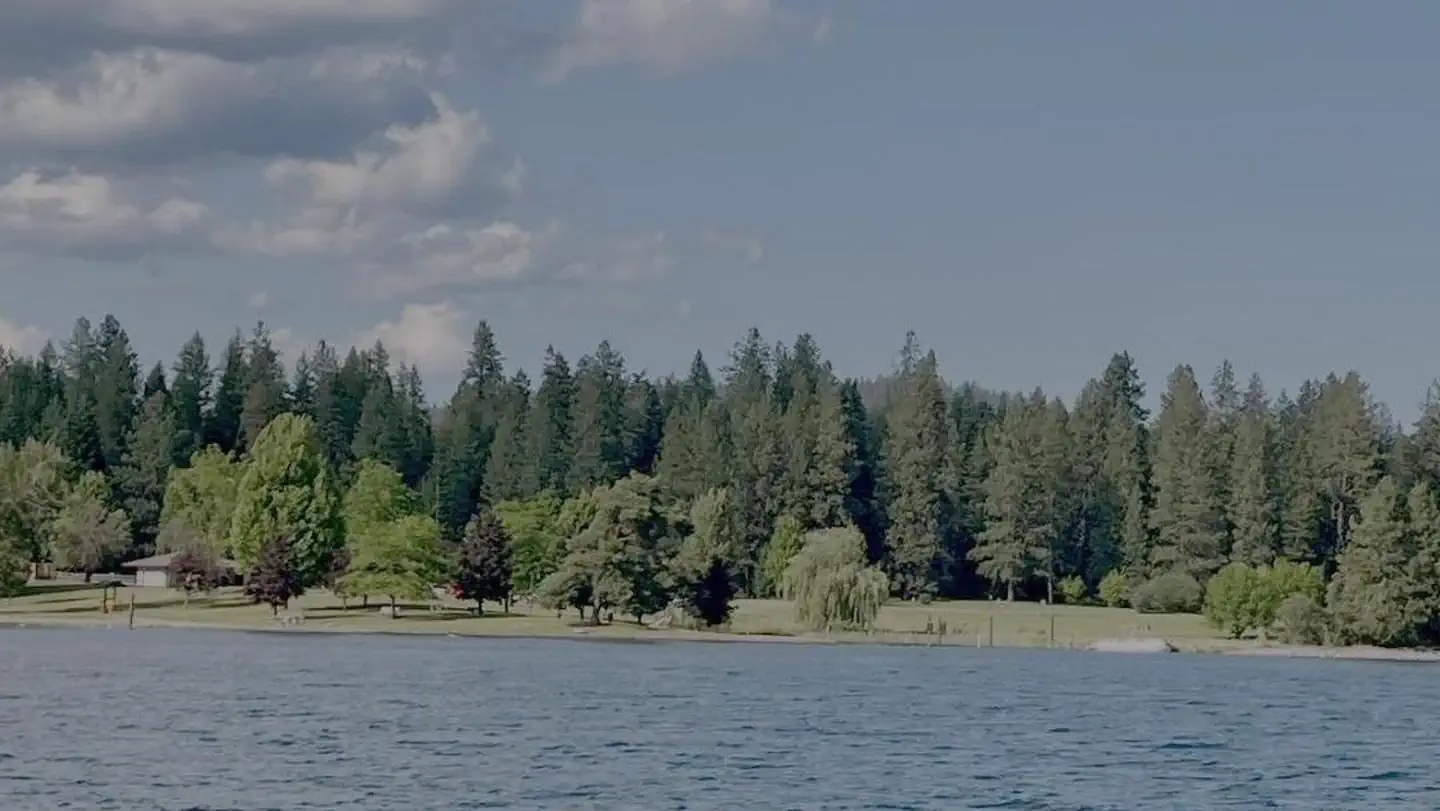
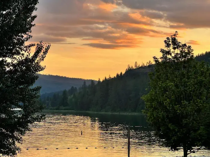
Overview Riley Creek Recreation Area, situated on the banks of the Pend Oreille River, is the largest recreation area for the Albeni Falls Project, but still offers visitors peace and quiet and plenty of space to enjoy the scenic surroundings.Recreation Water sports are the most common activity at the lake, and boat ra…
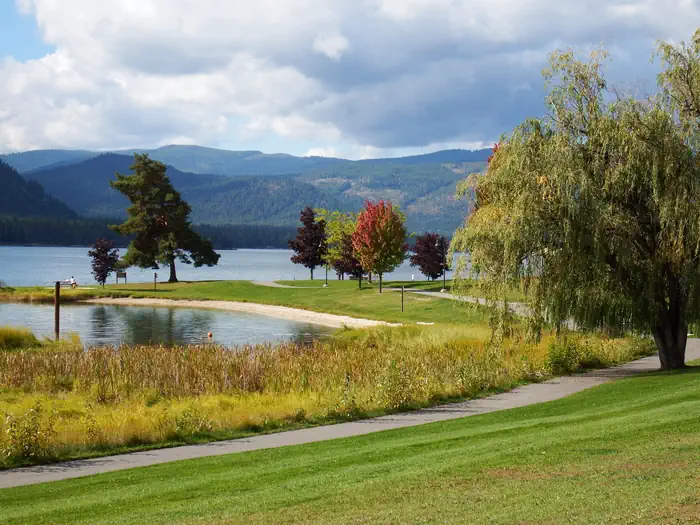
Overview Riley Creek Recreation Area, situated on the banks of the Pend Oreille River, is the largest recreation area for the Albeni Falls Project, but still offers visitors peace and quiet and plenty of space to enjoy the scenic surroundings.Recreation Water sports are the most common activity at the lake, and boat ramps are provided at the campground. Visitors enjoy kayaking, canoeing, swimming, fishing, water skiing and jet skiing. Campers are likely to spot wildlife in the area, with bald eagles, osprey, bears and most commonly, deer. A biking and hiking trail is available, giving campers a chance to enjoy the wildlife and greenery. Fishing piers, horseshoe pits, a beach volleyball court, basketball court and more make this campground an ideal place for family trips or groups of friends. A hiking and biking trail is accessible from the campground. Facilities Riley Creek is the largest campground at Albeni Falls, offering 67 campsites, all with electric and water hookups. Two large reservable picnic shelters are also available. As long as all equipment fits on the site pad, Riley Creek allows for an unlimited amount of tents per site. Natural Features Albeni Falls Dam was built in 1955 for flood control and power production on the Pend Oreille River. Today, the popular lake has the added benefit of providing visitors with countless year-round recreational activities. Lake Pend Oreille is surrounded by scenic mountains and is one of the largest and deepest natural lakes in the western United States, plunging to depths of more than 1,200 ft. in some areas. Behind the dam, the Pend Oreille River stretches 65 miles through a glacial-carved valley that separates three mountain ranges. Nearby Attractions The Albeni Falls Visitor Center features exhibits on the history of the dam and the natural features of the area. Tours of the dam are given daily during the summer. The nearby town of Laclede, Idaho offers gas and grocery services.
Photos
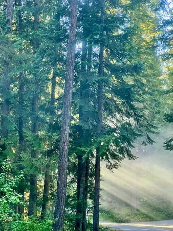
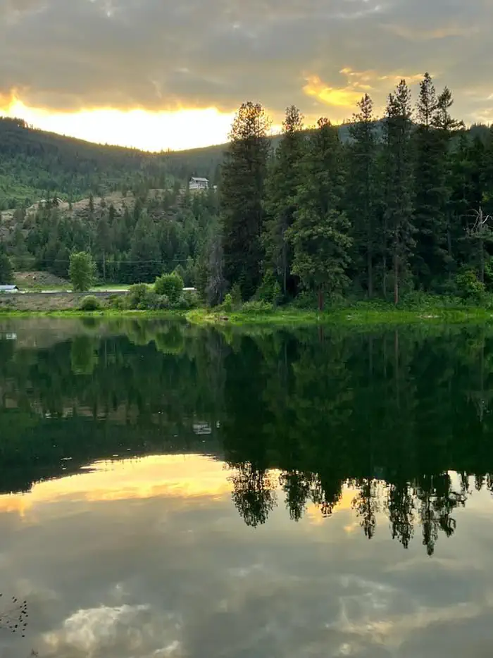
Riley Creek boat basin. — USACERILEY CREEK forest. — USACEView while on the walking trail. — USACESunset at Riley Creek. — USACE
How to Get There
From Highway 2 in Laclede, Idaho, turn south onto Riley Creek Road, then continue about 1 mile to the campground entrance.
Download your route in advance via Gaia, Caltopo, or OSM-based apps.
Recommendations adapt to the current forecast + trail stats. Use them as a starting point — local conditions, your experience, and the time of day you start all matter.
Plan Your Visit to RILEY CREEK
Heading to RILEY CREEK? A few things to know before you go:
Reservations: popular sites fill up fast — check Recreation.gov 6 months in advance
Fees: day-use and camping fees vary; check current rates on the official park page
Trash & pack-out: follow Leave No Trace principles
Wildlife: store food in bear boxes where provided; never feed wildlife
Weather: the 5-day forecast above is updated every 6 hours; verify just before you go
Frequently Asked Questions
Do I need a reservation for RILEY CREEK?
No central reservation system listed for RILEY CREEK. Check the official page (https://www.recreation.gov/camping/campgrounds/233600) for the latest entry policy and availability.
How do I get to RILEY CREEK?
From Highway 2 in Laclede, Idaho, turn south onto Riley Creek Road, then continue about 1 mile to the campground entrance.