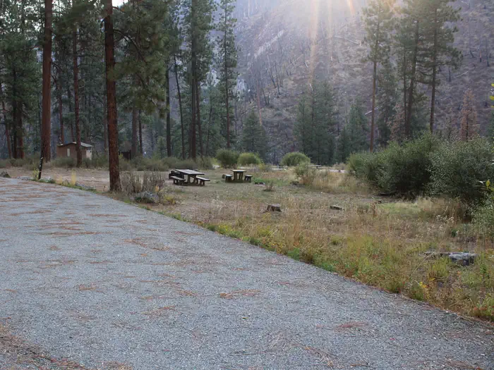
Overview Pine Flats Campground is located a few miles west of Lowman, Idaho, along the Banks-Lowman Highway at an elevation of 3,700 feet. Visitors enjoy rafting, kayaking and fishing on the South Fork Payette River, and soaking in the hot springs at the river's edge.Recreation The South Fork Payette River flows next t…
Overview Pine Flats Campground is located a few miles west of Lowman, Idaho, along the Banks-Lowman Highway at an elevation of 3,700 feet. Visitors enjoy rafting, kayaking and fishing on the South Fork Payette River, and soaking in the hot springs at the river's edge.Recreation The South Fork Payette River flows next to the site, down a small hill, and offers trout fishing, rafting and kayaking. The Danskin River Access area is 5 miles west of the campground. A 1/4-mile nature trail begins in the campground and leads to a natural hot springs soaking pool on the riverside.Facilities The campground contains several single and double-family sites, most of which are accessible, each with a picnic table and campfire ring with grill. Vault toilets, drinking water and trash collection are provided. Roads and parking spurs are paved, as are some campsite pads.Natural Features Towering Ponderosa pines cover the campground, offering partial shade in most sites. Summer wildflowers dot the landscape. Deer and elk may be seen wandering through the campground on occasion. Nearby Attractions Numerous natural hot springs pools can be found along the Banks-Lowman Highway, also known as the Wildlife Canyon Scenic Byway. The area offers scenic views, wildlife watching, historical information kiosks and several trail opportunities. Whitewater rafting and kayaking are popular activities on the South Fork and Main Payette Rivers. Several companies in the area offer guided half and full-day trips.
Photos
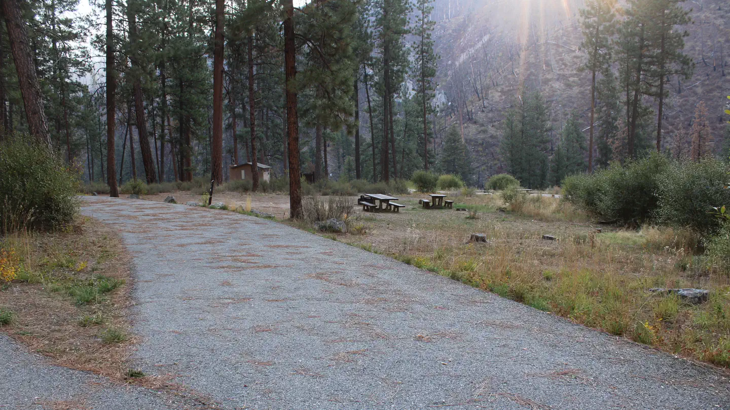
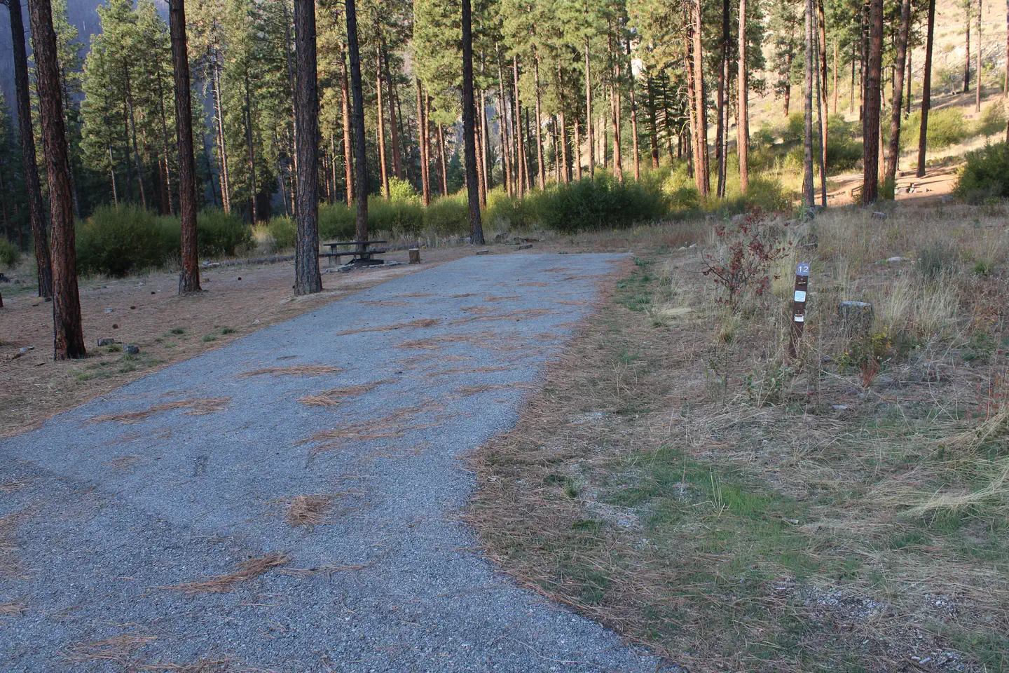
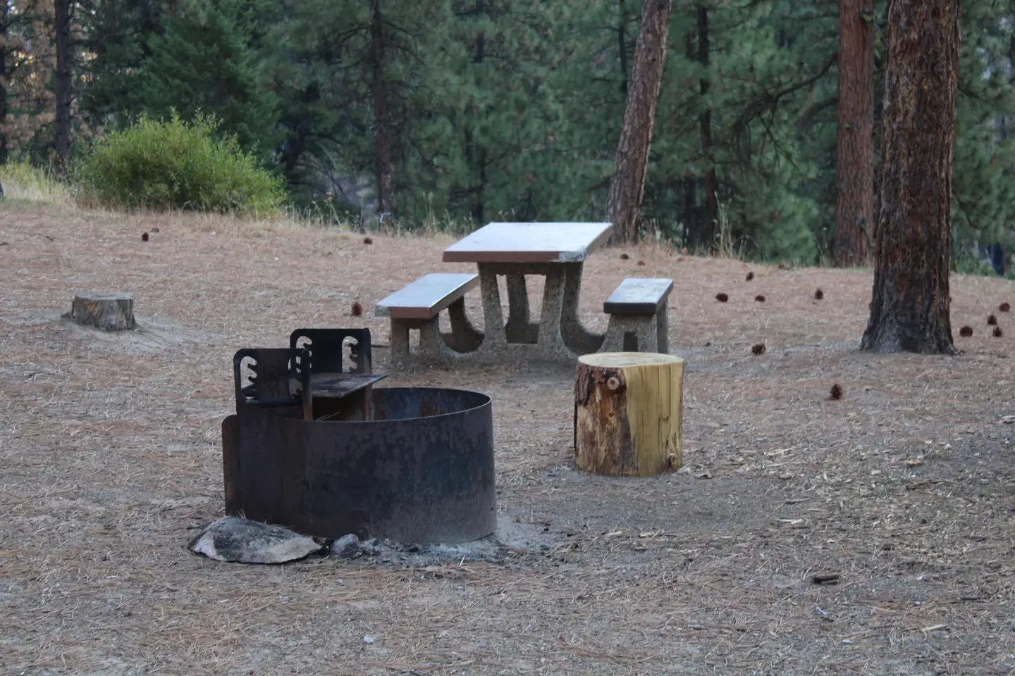
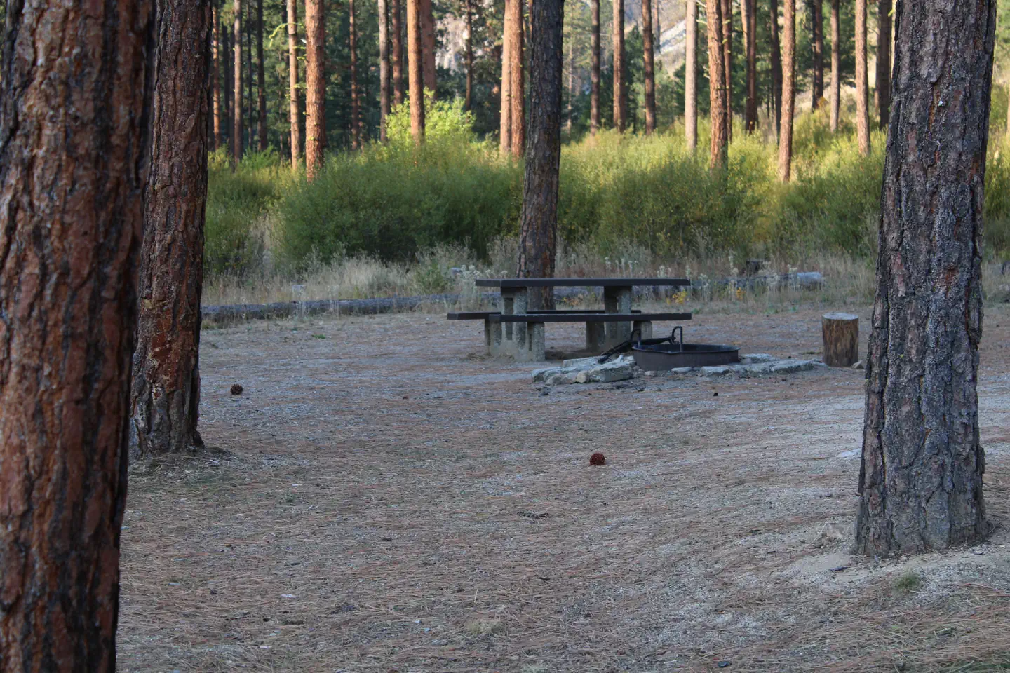
Shaded campsite — Akira ByrneSite picnic table and fire ring — Akira ByrnePicnic table and fire ring viewed through trees — Akira ByrneRay of light shines down on Pine Flats Campground — Akira Byrne
How to Get There
From Boise, Idaho, take Highway 55 to Banks. Turn east and travel on the Banks-Lowman Highway for 28 miles to the campground.
Download your route in advance via Gaia, Caltopo, or OSM-based apps.
Recommendations adapt to the current forecast + trail stats. Use them as a starting point — local conditions, your experience, and the time of day you start all matter.
Plan Your Visit to PINE FLATS (ID)
Heading to PINE FLATS (ID)? A few things to know before you go:
Reservations: popular sites fill up fast — check Recreation.gov 6 months in advance
Fees: day-use and camping fees vary; check current rates on the official park page
Trash & pack-out: follow Leave No Trace principles
Wildlife: store food in bear boxes where provided; never feed wildlife
Weather: the 5-day forecast above is updated every 6 hours; verify just before you go
Frequently Asked Questions
Do I need a reservation for PINE FLATS (ID)?
No central reservation system listed for PINE FLATS (ID). Check the official page (https://www.recreation.gov/camping/campgrounds/232312) for the latest entry policy and availability.
How do I get to PINE FLATS (ID)?
From Boise, Idaho, take Highway 55 to Banks. Turn east and travel on the Banks-Lowman Highway for 28 miles to the campground.