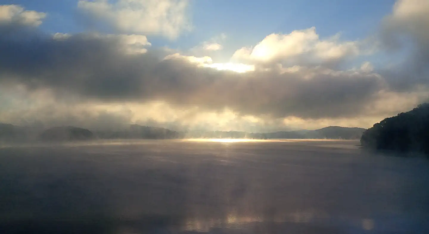
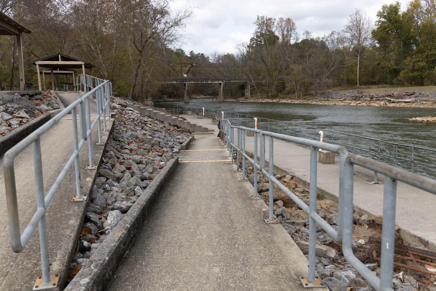
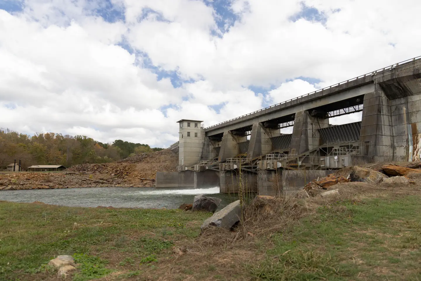
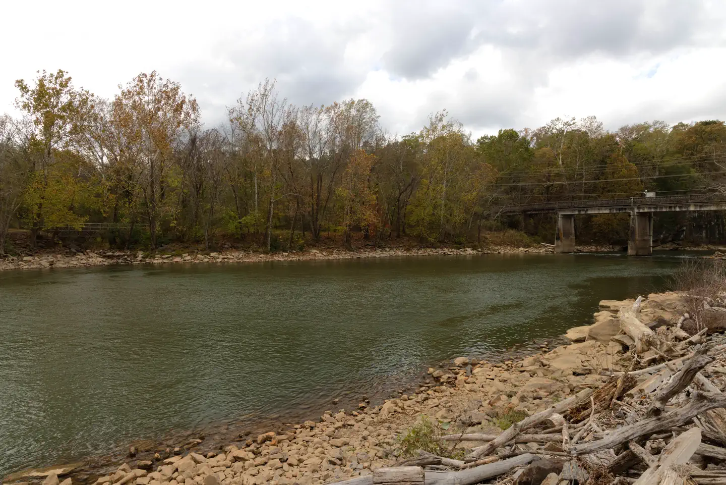
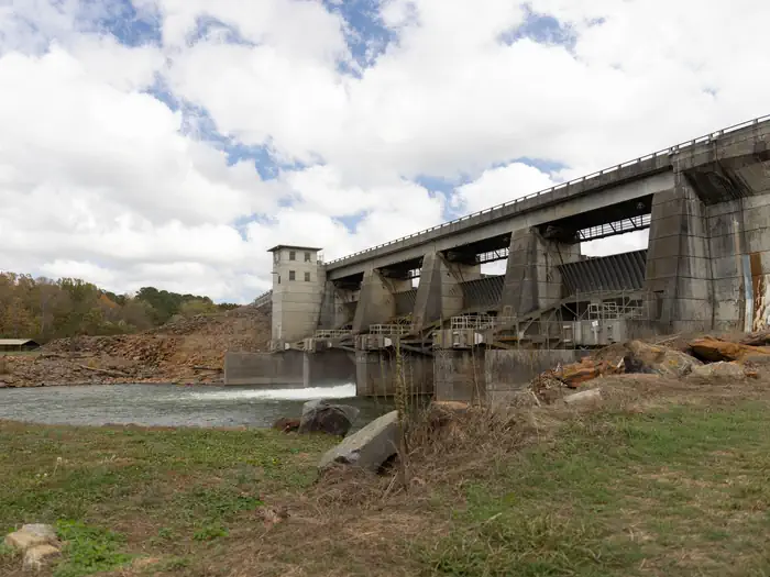
Overview Reregulation Dam Day Use Area is actually two day use areas situated on the North and South Sides of the Coosawattee River. Both areas provide picnic sites, fishing piers and water access. The South Regulation Area encompasses an award winning nature trail that has an easy hike rating and can be enjoyed by all…
Overview Reregulation Dam Day Use Area is actually two day use areas situated on the North and South Sides of the Coosawattee River. Both areas provide picnic sites, fishing piers and water access. The South Regulation Area encompasses an award winning nature trail that has an easy hike rating and can be enjoyed by all. The North Regulation Area contains a shelter that can be reserved.Recreation Fishing is a popular activity at the Reregulation Dam. Major species include bass (hybrid, striped and spotted) crappie, walleye, bream and catfish.Facilities The area provides picnic sites, restrooms, fishing piers, and water access. Shelter (CL-46) seating capacity is 100 people maximum and parking capacity of 50 vehicles.Natural Features Carters Lake embraces a spectacular tract of foothills scenery in the Blue Ridge Mountains of North Georgia. It covers 3,200 surface acres and has 62 miles of undeveloped shoreline. Nearby Attractions The Cities of Ellijay and Chatsworth are about 30 minutes away, offering restaurants, grocery stores, and fuel, along with other amenities.
Photos
Rereg fishing area — USACE Volunteer (Sheric Haupt)ReReg Dam — USACE Volunteer (Sheric Haupt)Rereg — USACE Volunteer (Sheric Haupt)REREG DAM — USACE Volunteer (Sheric Haupt)
How to Get There
From Atlanta: Take Interstate 75 North until Exit 293, turn right onto Georgia Highway 411 North, travel approximately 30 miles; take a right onto Georgia Highway 136 East; proceed across railroad tracks; turn left onto Old Highway 411 North, continue approximately 3/4 mile; turn right into Reregulation Dam Day Use Area. Re-Reg 10493 Old Hwy 411 Chatsworth, GA 30705
Download your route in advance via Gaia, Caltopo, or OSM-based apps.
Recommendations adapt to the current forecast + trail stats. Use them as a starting point — local conditions, your experience, and the time of day you start all matter.
Plan Your Visit to REREG DAM DAY USE AREA SHELTER
Heading to REREG DAM DAY USE AREA SHELTER? A few things to know before you go:
Reservations: popular sites fill up fast — check Recreation.gov 6 months in advance
Fees: day-use and camping fees vary; check current rates on the official park page
Trash & pack-out: follow Leave No Trace principles
Wildlife: store food in bear boxes where provided; never feed wildlife
Weather: the 5-day forecast above is updated every 6 hours; verify just before you go
Frequently Asked Questions
Do I need a reservation for REREG DAM DAY USE AREA SHELTER?
No central reservation system listed for REREG DAM DAY USE AREA SHELTER. Check the official page (https://www.recreation.gov/camping/campgrounds/272302) for the latest entry policy and availability.
How many campsites are at REREG DAM DAY USE AREA SHELTER?
REREG DAM DAY USE AREA SHELTER has 1 campsites. Site amenities (hookups, vehicle limits, ADA access) vary — see the individual campsite pages for details.
How do I get to REREG DAM DAY USE AREA SHELTER?
From Atlanta: Take Interstate 75 North until Exit 293, turn right onto Georgia Highway 411 North, travel approximately 30 miles; take a right onto Georgia Highway 136 East; proceed across railroad tracks; turn left onto Old Highway 411 North, continue approximately 3/4 mile; turn right into Reregulation Dam Day Use Area. Re-Reg 10493 Old Hwy 411 Chatsworth, GA 30705