Overview Thompson Creek Park lies approximately 30 miles north of Buford Dam on Lake Sidney Lanier. The site features beautiful views of the lake as well as excellent access to swimming, picnicking and boating. The lake, name of the poet, Sidney Lanier, is well known for its aqua-blue colored water, spectacular scenery…
Overview Thompson Creek Park lies approximately 30 miles north of Buford Dam on Lake Sidney Lanier. The site features beautiful views of the lake as well as excellent access to swimming, picnicking and boating. The lake, name of the poet, Sidney Lanier, is well known for its aqua-blue colored water, spectacular scenery and variety of recreational activities. Each year, approximately 11.8 million people come to visit. Recreation Visitors can access the Laurel Ridge Hiking Trail from multiple locations and parks. The trail is a 3.5 mile loop that offers great views of the lake and Chattahoochee River. Fisherman can expect to catch a variety of species including bass, catfish and panfish. Activities include fishing, swimming, wake boarding, kayaking and hiking.Facilities Thompson Creek Park offers access to picnic areas and restrooms. Natural Features Lake Lanier boasts 38,000 surface acres, 690 miles of shoreline and over 100 small islands. Its location in the forested foothills of the Georgia Blue Ridge Mountains, makes for a beautiful backdrop to any activity. Nearby Attractions Nearby attractions include boat ramps, other USACE parks, and Lake Lanier Islands.
Photos
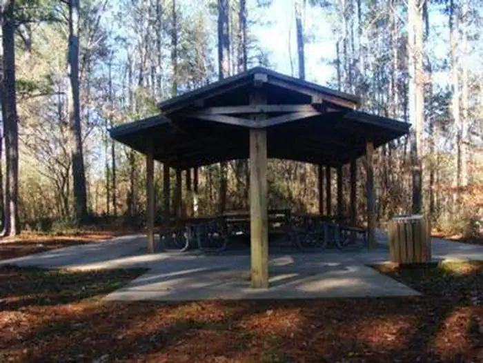
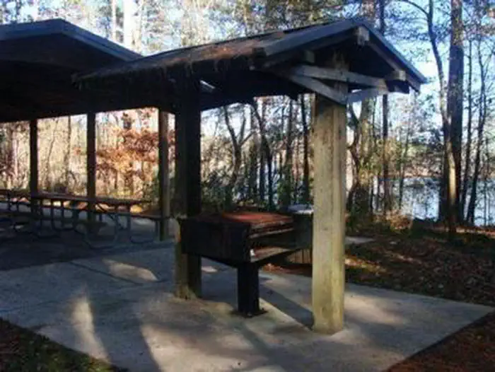
THOMPSON CREEK PARK SHELTER (GA)
How to Get There
Physical address is 600 Thompson Creek Rd., Dawsonville, GA 30534. From Georgia Highway 400, turn left on Hwy. 53, turn left on Thompson Creek Park Rd, road dead ends into park. From Interstate 985, take exit for Hwy. 53 west, follow signs to stay on hwy. 53 west, turn left on Thompson Creek Park Rd., road dead ends into park.
Download your route in advance via Gaia, Caltopo, or OSM-based apps.
🛍
Dry bags for electronics
Phone, camera, and snacks should stay dry.
Recommendations adapt to the current forecast + trail stats. Use them as a starting point — local conditions, your experience, and the time of day you start all matter.
Plan Your Visit to THOMPSON CREEK PARK SHELTER (GA)
Heading to THOMPSON CREEK PARK SHELTER (GA)? A few things to know before you go:
Reservations: popular sites fill up fast — check Recreation.gov 6 months in advance
Fees: day-use and camping fees vary; check current rates on the official park page
Trash & pack-out: follow Leave No Trace principles
Wildlife: store food in bear boxes where provided; never feed wildlife
Weather: the 5-day forecast above is updated every 6 hours; verify just before you go
Frequently Asked Questions
Do I need a reservation for THOMPSON CREEK PARK SHELTER (GA)?
No central reservation system listed for THOMPSON CREEK PARK SHELTER (GA). Check the official page (https://www.recreation.gov/camping/campgrounds/251920) for the latest entry policy and availability.
How do I get to THOMPSON CREEK PARK SHELTER (GA)?
Physical address is 600 Thompson Creek Rd., Dawsonville, GA 30534. From Georgia Highway 400, turn left on Hwy. 53, turn left on Thompson Creek Park Rd, road dead ends into park. From Interstate 985, take exit for Hwy. 53 west, follow signs to stay on hwy. 53 west, turn left on Thompson Creek Park Rd., road dead ends into park.
How do I contact THOMPSON CREEK PARK SHELTER (GA)?