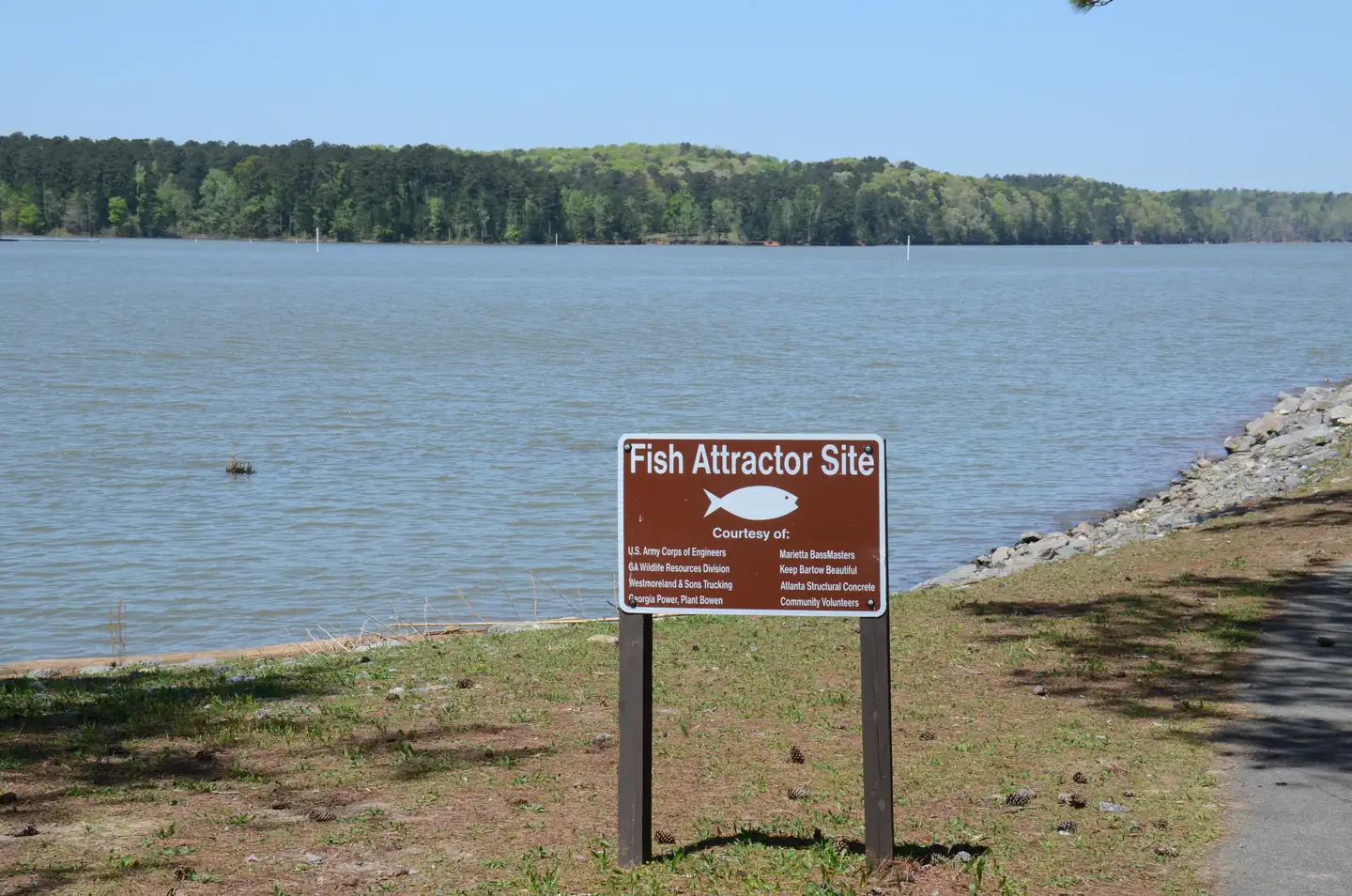
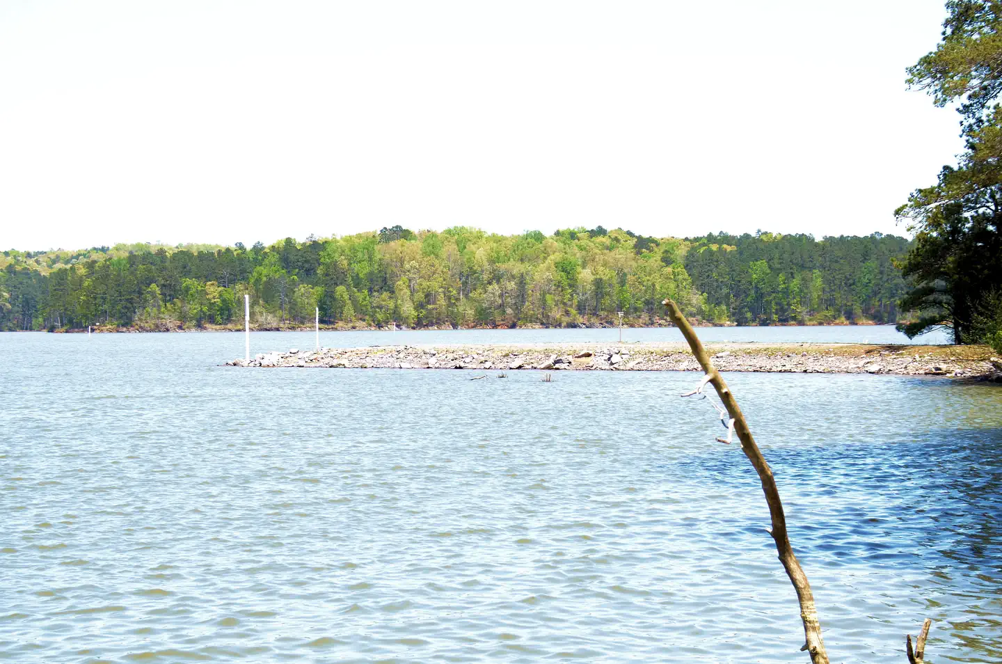
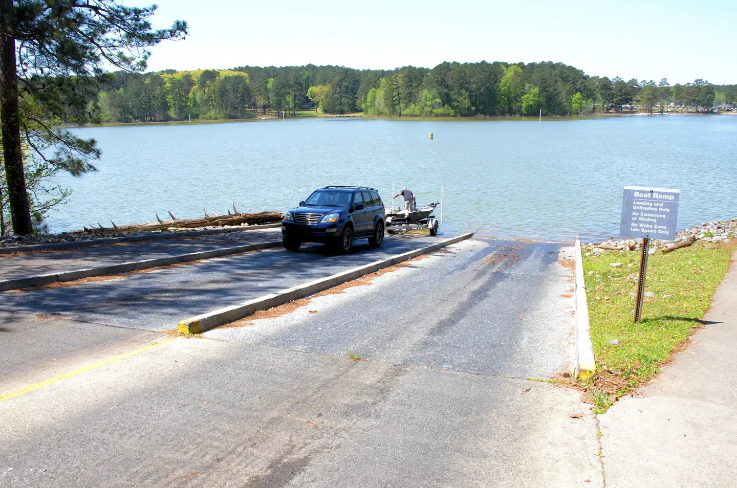
Overview Galt's Ferry Day Use Area is situated on Allatoona Lake on the Etowah River, a tributary of the Coosa River. The serene lake and peaceful surroundings offer a relaxing getaway from the nearby city of Atlanta, just 35 miles south. Visitors enjoy various water sports, hiking, hunting and viewing wildlife.Recreat…
Overview Galt's Ferry Day Use Area is situated on Allatoona Lake on the Etowah River, a tributary of the Coosa River. The serene lake and peaceful surroundings offer a relaxing getaway from the nearby city of Atlanta, just 35 miles south. Visitors enjoy various water sports, hiking, hunting and viewing wildlife.Recreation Boating, fishing, canoeing, kayaking, and swimming are popular activities on the 11-mile long Allatoona Lake. Its 270 miles of shoreline provide great opportunities for picnicking, hiking, hunting and relaxing.Facilities Galt's Ferry Day Use Area has an open shelter with a maximum seating capacity of 100 people. A restroom is within 50 yards of the shelter. A horseshoe pit is adjacent to the shelter. Horseshoes can be loaned out by onsite Park Attendants. Galt's Ferry has a beach, playground, fishing jetty and boat ramp.Natural Features The rolling hills around Allatoona Lake are thickly forested with lush oak, maple, blackgum, dogwood, magnolia, hickory and the occasional pine tree. Ferns and honeysuckle bushes make up the understory. The dense hardwood forests are home to raccoons, opossum, bobcats, red and gray fox, white tail deer, squirrels, and chipmunks. From time to time, visitors even spot black bears roaming the area. Nearby Attractions The City of Cartersville is nearby, offering the Tellus Science Museum, Etowah Indian Mounds, and Booth Western Art Museum. The City of Emerson is home to Lakepoint Sports Complex. Kennesaw Mountain National Battlefield is located in Kennesaw; White Water Park is in Marietta, and the Georgia Aquarium is located in Atlanta.Charges & Cancellations Change and Cancellation Policies and Fees Overnight and Day Use Facilities: To ensure fairness, reservation arrival or departure dates may not be changed beyond the booking window until 18 days after booking the reservation. Camping / Day Use: A $10.00 service fee will apply if you change or cancel your reservation (including campsites, cabins, lookouts, group faci
Photos
Galt's Ferry Picnic Area Near Bathroom — John/Cyndee PerryGalt's Ferry Swim Beach.. — John/Cyndee PerryGalt's Ferry Picnic Area Near Bathroom. — John/Cyndee PerryGalt's Ferry Day Use - Fishing — John/Cyndee PerryGalt's Ferry Pavilion, Inside — USACEGalt's Ferry Day Use Fishing Jetty — John/Cyndee PerryGalt's Ferry Day Use Swim Beach. — John/Cyndee PerryGalt's Ferry Picnic Pavilion — John/Cyndee PerryGalt's Ferry Day Use Swim Beach... — John/Cyndee PerryGalt's Ferry Day Use Swim Beach.. — John/Cyndee PerryGalt's Ferry Boat Ramp — John/Cyndee PerryGalt's Ferry Picnic Area — John/Cyndee Perry
How to Get There
Northbound on I-75 take exit 277 (GA Hwy 92). Turn right off exit onto GA Hwy 92. Travel 1 mile to traffic light at Hunt Road. Turn left onto Hunt Road. Continue straight at 4-way stop and road changes to Kellogg Creek Road. Travel approximately 1 mile and turn left onto Galt's Ferry Landing Road. Continue 0.8 mile to 3rd stop sign and turn left onto Rocky Lane. Continue to park entrance. Southbound on I-75 take exit 285 (Red Top Mountain Road). Turn left onto Red Top Mountain Road. Travel approximately 5 miles thru Red Top Mountain State Park to 4-way stop. Turn left onto New Hope Church Road. Follow New Hope Church Road until it dead ends into Kellogg Creek Road. Turn left onto Kellogg Creek Road. Travel approximately 1 mile and turn left onto Galt's Ferry Landing Road. Continue 0.8 mile to 3rd stop sign and turn left onto Rocky Lane. Continue to park entrance. From I-575, take exit 7 (GA Hwy 92). Northbound turn left onto GA Hwy 92/southbound. Travel on GA Hwy 92 to Bells Ferry Road. Turn right onto Bells Ferry Road and travel 2.5 miles to Kellogg Creek Road. Turn left onto Kellogg Creek Road and travel 3.1 miles. Turn right onto Galt's Ferry Landing Road. Continue 0.8 mile to 3rd stop sign and turn left onto Rocky Lane. Continue to park entrance. Physical address: Galt's Day Use Area, 7299 Rocky Lane, Acworth, Georgia 30102
Download your route in advance via Gaia, Caltopo, or OSM-based apps.
Recommendations adapt to the current forecast + trail stats. Use them as a starting point — local conditions, your experience, and the time of day you start all matter.
Plan Your Visit to GALT'S FERRY DAY USE AREA (GA)
Heading to GALT'S FERRY DAY USE AREA (GA)? A few things to know before you go:
Reservations: popular sites fill up fast — check Recreation.gov 6 months in advance
Fees: day-use and camping fees vary; check current rates on the official park page
Trash & pack-out: follow Leave No Trace principles
Wildlife: store food in bear boxes where provided; never feed wildlife
Weather: the 5-day forecast above is updated every 6 hours; verify just before you go
Frequently Asked Questions
Do I need a reservation for GALT'S FERRY DAY USE AREA (GA)?
No central reservation system listed for GALT'S FERRY DAY USE AREA (GA). Check the official page (https://www.recreation.gov/camping/campgrounds/251868) for the latest entry policy and availability.
How many campsites are at GALT'S FERRY DAY USE AREA (GA)?
GALT'S FERRY DAY USE AREA (GA) has 2 campsites. Site amenities (hookups, vehicle limits, ADA access) vary — see the individual campsite pages for details.
How do I get to GALT'S FERRY DAY USE AREA (GA)?
Northbound on I-75 take exit 277 (GA Hwy 92). Turn right off exit onto GA Hwy 92. Travel 1 mile to traffic light at Hunt Road. Turn left onto Hunt Road. Continue straight at 4-way stop and road changes to Kellogg Creek Road. Travel approximately 1 mile and turn left onto Galt's Ferry Landing Road. Continue 0.8 mile to 3rd stop sign and turn left onto Rocky Lane. Continue to park entrance. Southbou…