Overview Whether you are looking to spend a night with family and friends around a campfire under the moss covered branches of the live oak trees, or looking for the rugged challenges and solitude of the wilderness, you will find it on Cumberland Island National Seashore. The park includes a designated Wilderness area,…
About Cumberland Island National Seashore Camping Permits
Overview Whether you are looking to spend a night with family and friends around a campfire under the moss covered branches of the live oak trees, or looking for the rugged challenges and solitude of the wilderness, you will find it on Cumberland Island National Seashore. The park includes a designated Wilderness area, undeveloped beaches, historic sites, cultural ruins, critical habitat and nesting areas, as well as numerous plant and animal communities. The national seashore also offers a wide variety of camping opportunities. Watch the "Camping on Cumberland Island" video for information to help you plan an d prepare for your trip. Campgrounds Cumberland Island offers five campgrounds , which include designated campsites at Sea Camp and Stafford Beach; and Wilderness campsites at: Hickory Hill, Yankee Paradise and Brickhill Bluff. Camping is only permitted in these five campgrounds. A permit is required to camp in any of these five camping areas. Getting There Visitors must take a boat to the island. Most visitors arrive via the Cumberland Island Ferry from St. Marys, Georgia (see Park Concessioner Services below). The ferry does not transport automobiles or RVs. Check the ferry schedule prior to reserving your Cumberland Island National Seashore Camping Permit unless you are traveling by private boat. The ferry does not operate on Tuesdays and Wednesdays from December through February. Island Information Cumberland Island is 18 miles (29 km) long and .5 miles (.8 km) to 3 miles (5 km) wide. Bring your cell phone if possible. Use airplane mode to reserve battery power. There is electricity at the Sea Camp Ranger Station, Sea Camp Campground, and Stafford Beach Campground for recharging devices. Dial 911 to report emergencies and disturbances. There are no stores, restaurants or other amenities on the island. After arriving on the island, campers must hike, walk or bike from the dock to the campgrounds and transport all gear. There is no transporation service. The
Photos
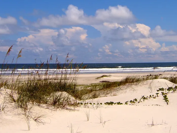
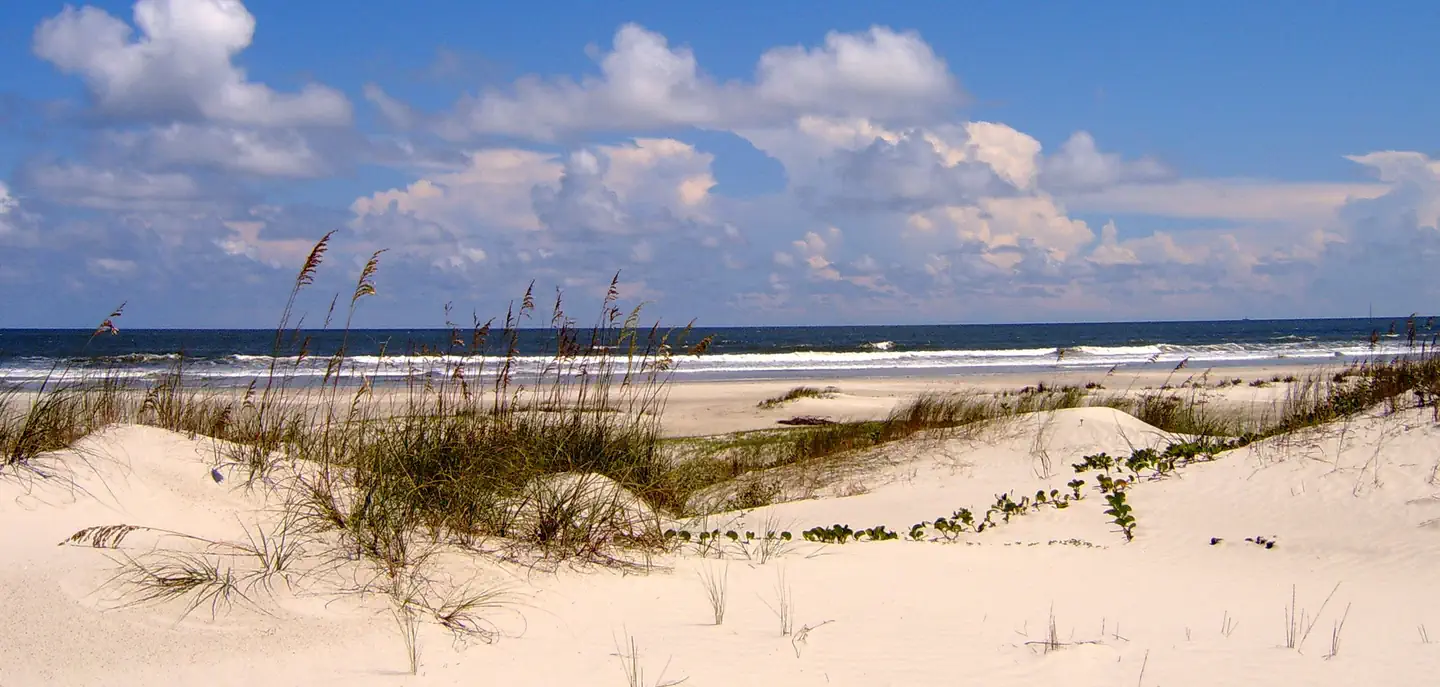
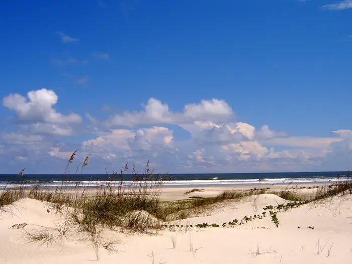
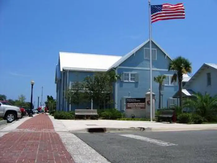
dungeness ruins under pink clouds — NPS Photoundeveloped beach complete with sea oat covered dunes, light sands, blue sky, and crashing waves — NPS Photoundeveloped beach complete with sea oat covered dunes, light sands, blue sky, and crashing waves — NPS Photolarge live oak branches extending over sand road — NPS Phototwo story blue building along the waterfront with American flag flying — NPS Phototrail leading through palmettos and live oak canopy — NPS Photo
How to Get There
NPS VISITOR CENTER/FERRY CHECK-IN: Take Exit 3 from Interstate 95. At the exit stop light turn east on to Highway 40. Follow the signs traveling east into Historic St. Marys. Highway 40 East will become Osborne St. Once you reach the waterfront, turn right at the stop sign onto St Marys Street. The NPS Visitor Center is in the two story, blue building one block down on the left. The Mainland Visitor Center is located at 113 St. Marys Street West, Marys, GA 31558. Use this address to arrive at the right location. Do not use "Cumberland Island National Seashore" as this will not guide you to the correct location. Directions & Transportation page Parking: All visitors - day visitors and campers - must park in the Cumberland Island Parking Lot one block west of the Visitor Center.Bus and RV parking is located in marked spots along the roadway along the western edge of the parking area (Seagrove St.). Getting to the Island: The only way to get to the island is by passenger ferry (not a car ferry) or private boat. For information about making a reservation with the National Park Service official concessionaire operated ferry visit our Reservations page or visit the Cumberland Island Ferry website.
Download your route in advance via Gaia, Caltopo, or OSM-based apps.
Recommendations adapt to the current forecast + trail stats. Use them as a starting point — local conditions, your experience, and the time of day you start all matter.
Plan Your Visit to Cumberland Island National Seashore Camping Permits
Heading to Cumberland Island National Seashore Camping Permits? A few things to know before you go:
Reservations: popular sites fill up fast — check Recreation.gov 6 months in advance
Fees: day-use and camping fees vary; check current rates on the official park page
Trash & pack-out: follow Leave No Trace principles
Wildlife: store food in bear boxes where provided; never feed wildlife
Weather: the 5-day forecast above is updated every 6 hours; verify just before you go
Frequently Asked Questions
Do I need a reservation for Cumberland Island National Seashore Camping Permits?
No central reservation system listed for Cumberland Island National Seashore Camping Permits. Check the official page (https://www.recreation.gov/camping/campgrounds/253730) for the latest entry policy and availability.
How many campsites are at Cumberland Island National Seashore Camping Permits?
Cumberland Island National Seashore Camping Permits has 47 campsites. Site amenities (hookups, vehicle limits, ADA access) vary — see the individual campsite pages for details.
How do I get to Cumberland Island National Seashore Camping Permits?
NPS VISITOR CENTER/FERRY CHECK-IN: Take Exit 3 from Interstate 95. At the exit stop light turn east on to Highway 40. Follow the signs traveling east into Historic St. Marys. Highway 40 East will become Osborne St. Once you reach the waterfront, turn right at the stop sign onto St Marys Street. The NPS Visitor Center is in the two story, blue building one block down on the left. The Mainland Visit…
How do I contact Cumberland Island National Seashore Camping Permits?
You can reach the park at phone: 912-882-4336 X254.