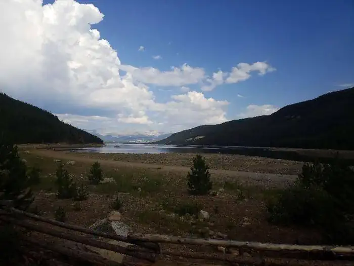
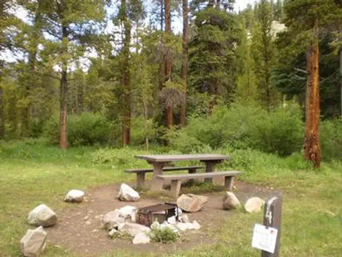
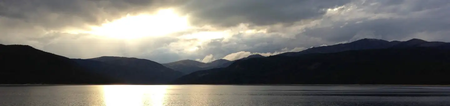
Overview May Queen Campground is located at the far western end of Turquoise Lake in a shaded lodgepole pine forest. Conveniently perched near the Charles Boustead Memorial Tunnel, May Queen offers easy access to boating, fishing and hiking. Incredible views of the Holy Cross and Mount Massive Wildernesses can be seen …
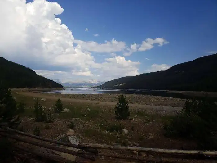
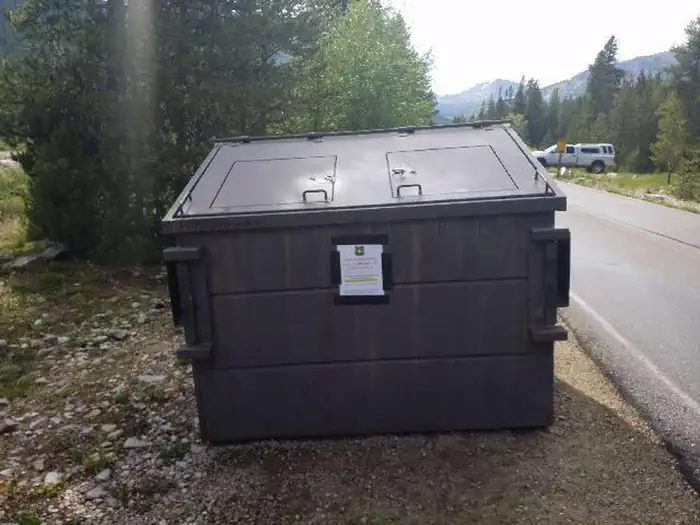
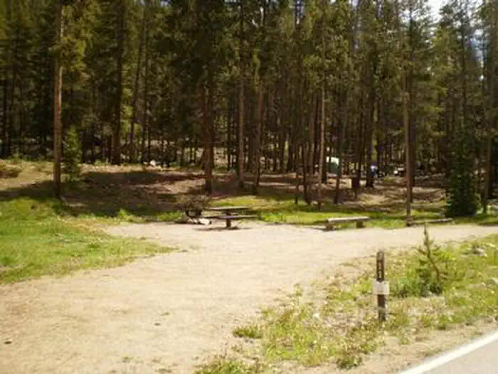
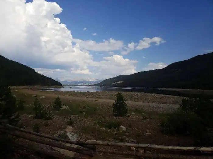
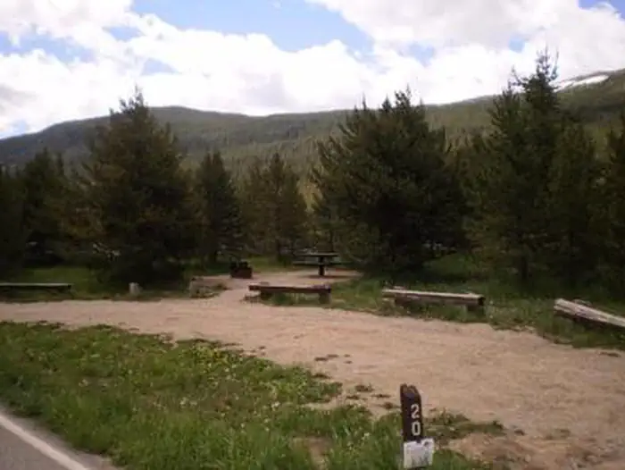
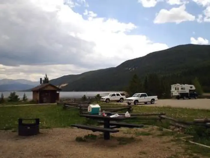
Overview May Queen Campground is located at the far western end of Turquoise Lake in a shaded lodgepole pine forest. Conveniently perched near the Charles Boustead Memorial Tunnel, May Queen offers easy access to boating, fishing and hiking. Incredible views of the Holy Cross and Mount Massive Wildernesses can be seen from the area, and visitors are likely to see native wildlife like chipmunks, beavers and porcupines. The Charles Boustead Memorial Tunnel is a 5.5-mile tunnel that transports water from the Fryingpan and Roaring Fork River Basins through the Continental Divide to the Arkansas River Basin by emptying water into Turquoise Lake. Recreation Explore the 6.4-mile Turquoise Lake Trail, which parallels the shoreline of Turquoise Lake from May Queen Campground to the dam. The trail offers moderate hiking with spectacular views and a variety of flora and fauna, as well as remnants of old mines. The Timberline Lake trailhead is 1/2 mile up the road. A 2-mile hike to this lake is rewarded with stunning views and high alpine lake fishing. The Colorado Trail can also be accessed from this trailhead. On Turquoise Lake, sailing, boating and canoeing are enjoyed. Anglers seek out mostly mackinaw and rainbow trout. Facilities Campground offers single family sites. Each site is equipped with a campfire ring and picnic table. Vault toilets and trash collection are provided. Easy access to the lake is provided for canoes and other hand-carried boats. Trailered boats can use Matchless Boat Ramp located on the east side of Turquoise Lake. Natural Features The campground sits at an elevation of 9,900 ft. on Turquoise Lake. Most campsites are situated on a level, open field along a creek, feeding into the lake. Six first come-first, serve-sites are perched on the wooded hillside above the creek. Nearby is the Mount Massive Wilderness area, a 30,540 acre expanse encompassing Mount Massive, Colorado's second highest peak at 14,421 feet. Much of the wilderness is above timberlin
Photos
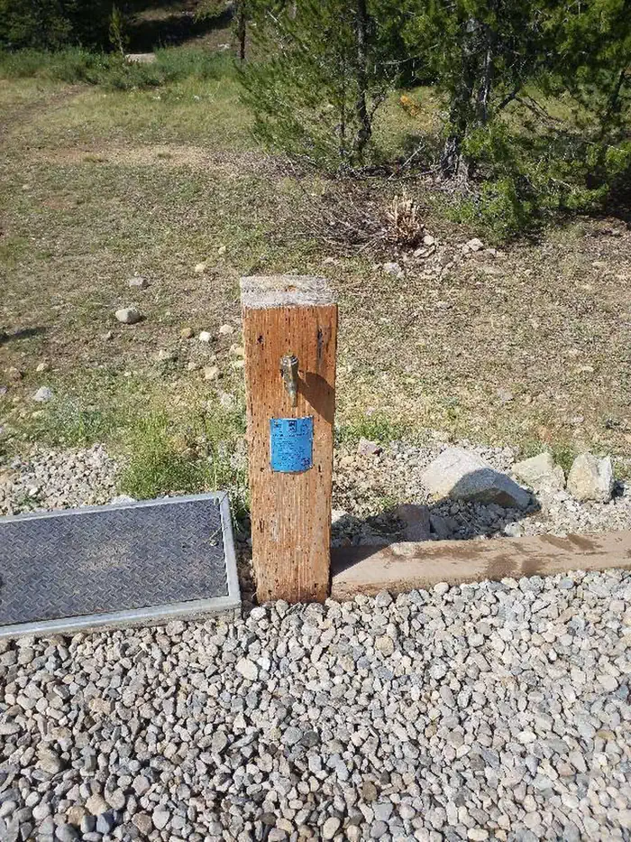
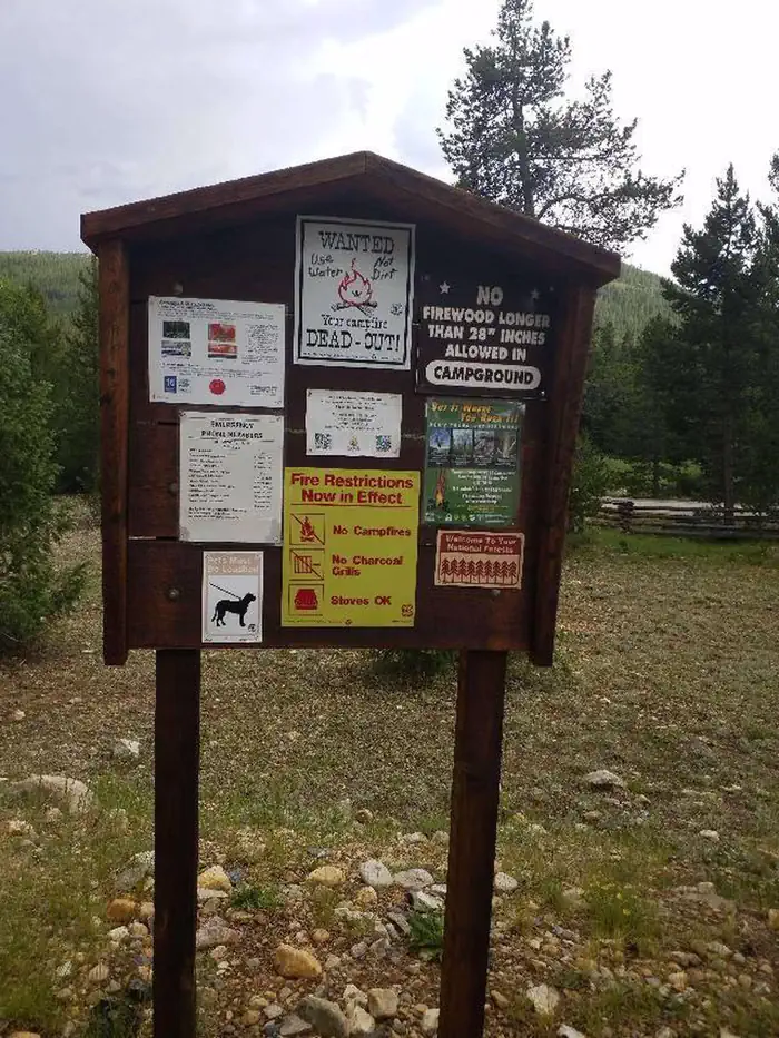
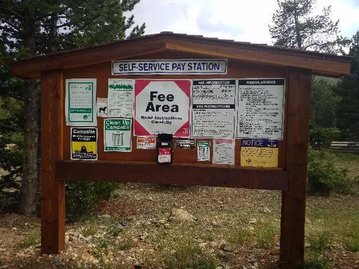
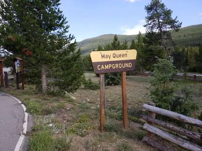
May Queen Campground water spigot — USFSMAY QUEENMay Queen Campground information kiosk 2 — USFSMay Queen Campground trailhead — USFSMay Queen Campground dumpster — USFSMay Queen Campground information kiosk — USFSMAY QUEENMay Queen Campground trailhead — USFSMAY QUEENMAY QUEENMay Queen Campground entry sign — USFSSunset Over Turquoise Lake — Daniela Carey
How to Get There
From Leadville, Colorado, head west on County Road 4. Continue on the paved road about 9 miles to May Queen Campground on the right.
Download your route in advance via Gaia, Caltopo, or OSM-based apps.
Recommendations adapt to the current forecast + trail stats. Use them as a starting point — local conditions, your experience, and the time of day you start all matter.
Plan Your Visit to MAY QUEEN
Heading to MAY QUEEN? A few things to know before you go:
Reservations: popular sites fill up fast — check Recreation.gov 6 months in advance
Fees: day-use and camping fees vary; check current rates on the official park page
Trash & pack-out: follow Leave No Trace principles
Wildlife: store food in bear boxes where provided; never feed wildlife
Weather: the 5-day forecast above is updated every 6 hours; verify just before you go
Frequently Asked Questions
Do I need a reservation for MAY QUEEN?
No central reservation system listed for MAY QUEEN. Check the official page (https://www.recreation.gov/camping/campgrounds/232385) for the latest entry policy and availability.
How do I get to MAY QUEEN?
From Leadville, Colorado, head west on County Road 4. Continue on the paved road about 9 miles to May Queen Campground on the right.
How do I contact MAY QUEEN?
You can reach the park at phone: 719-486-0749 (FOR INFORMATION ONLY, NO RESERVATIONS.